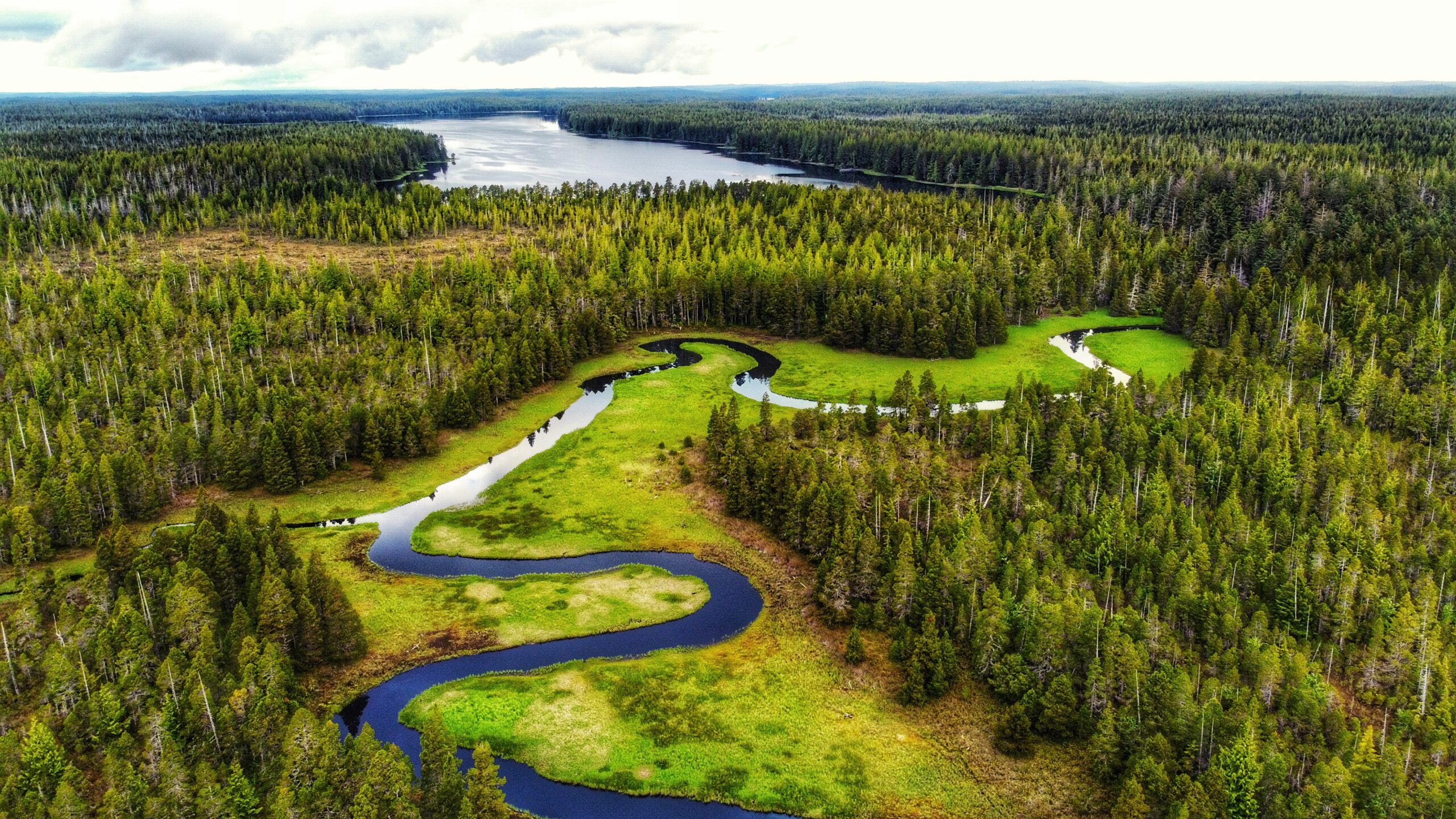
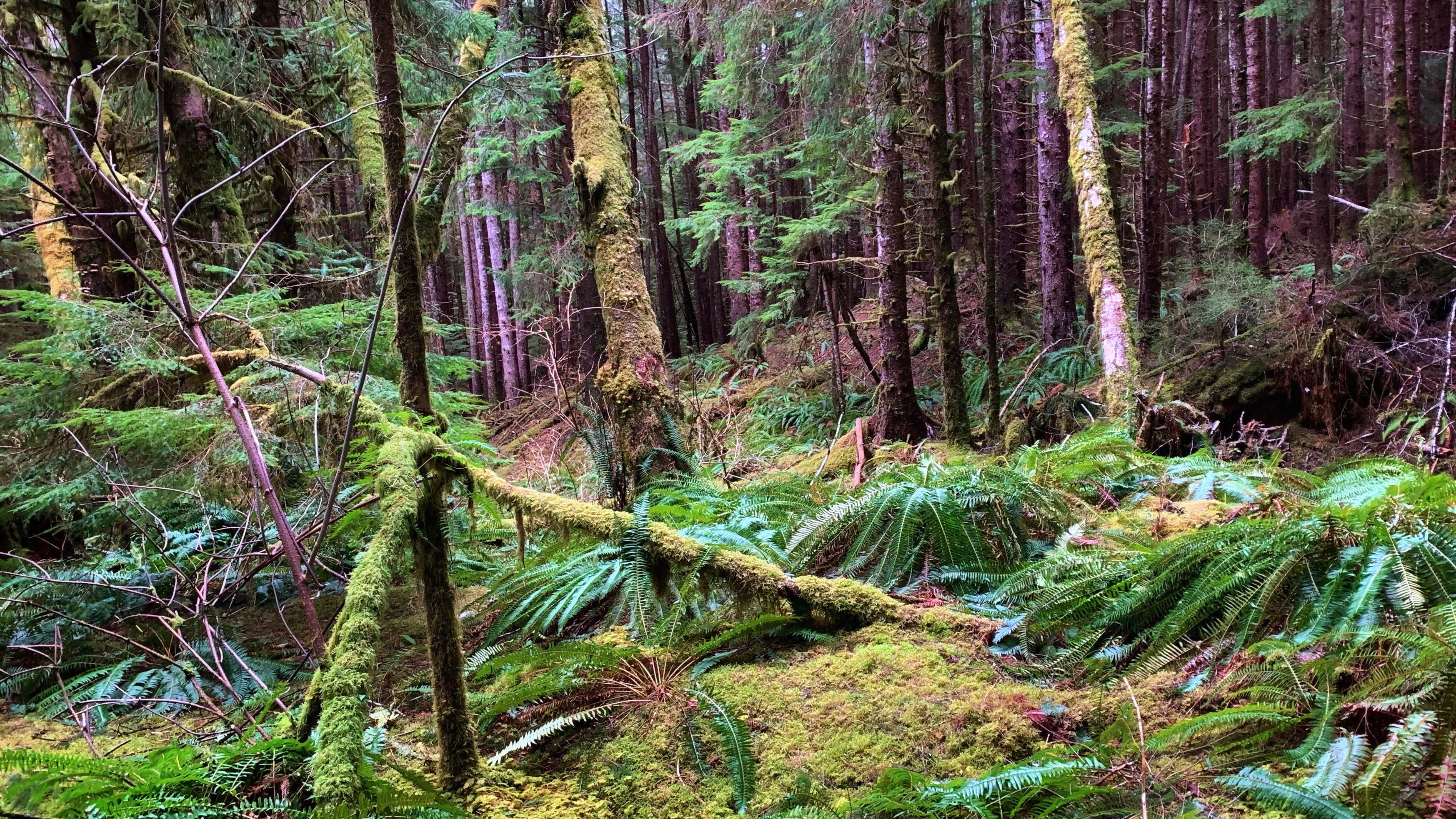
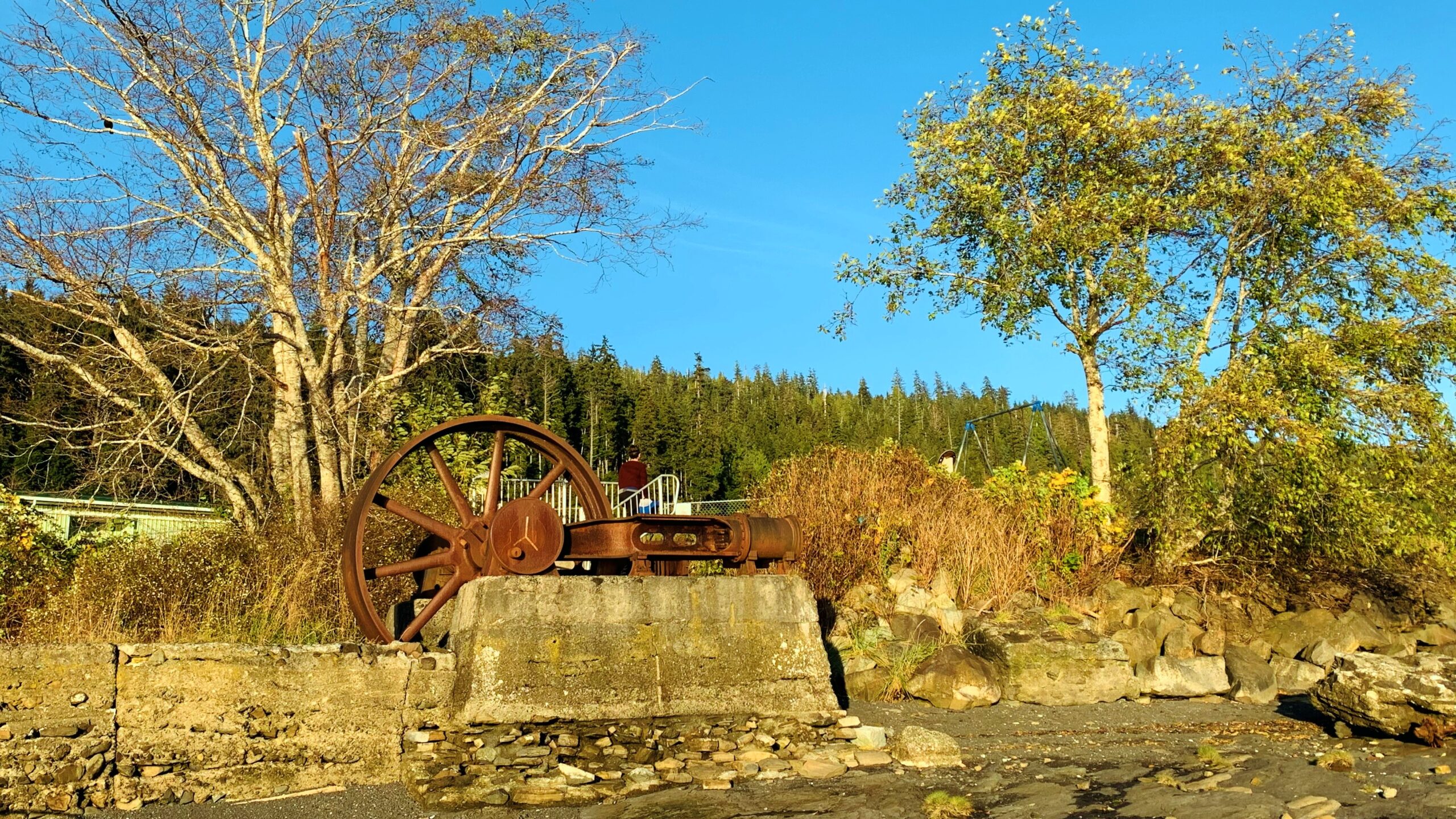
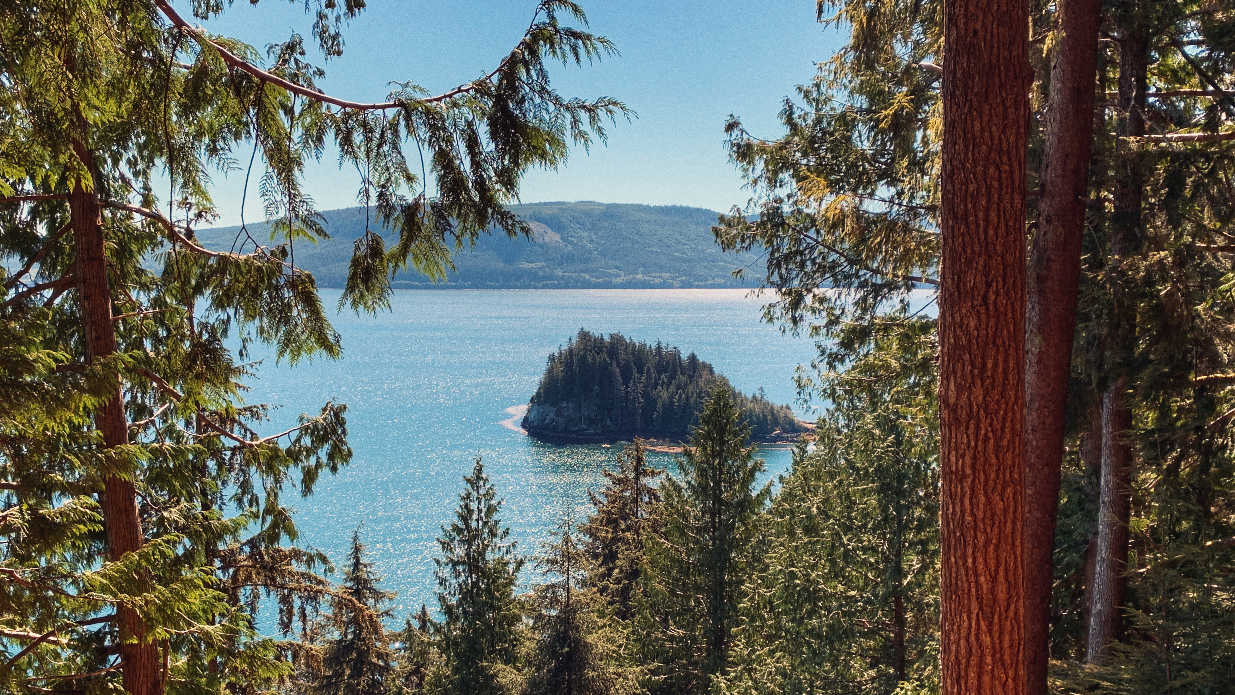
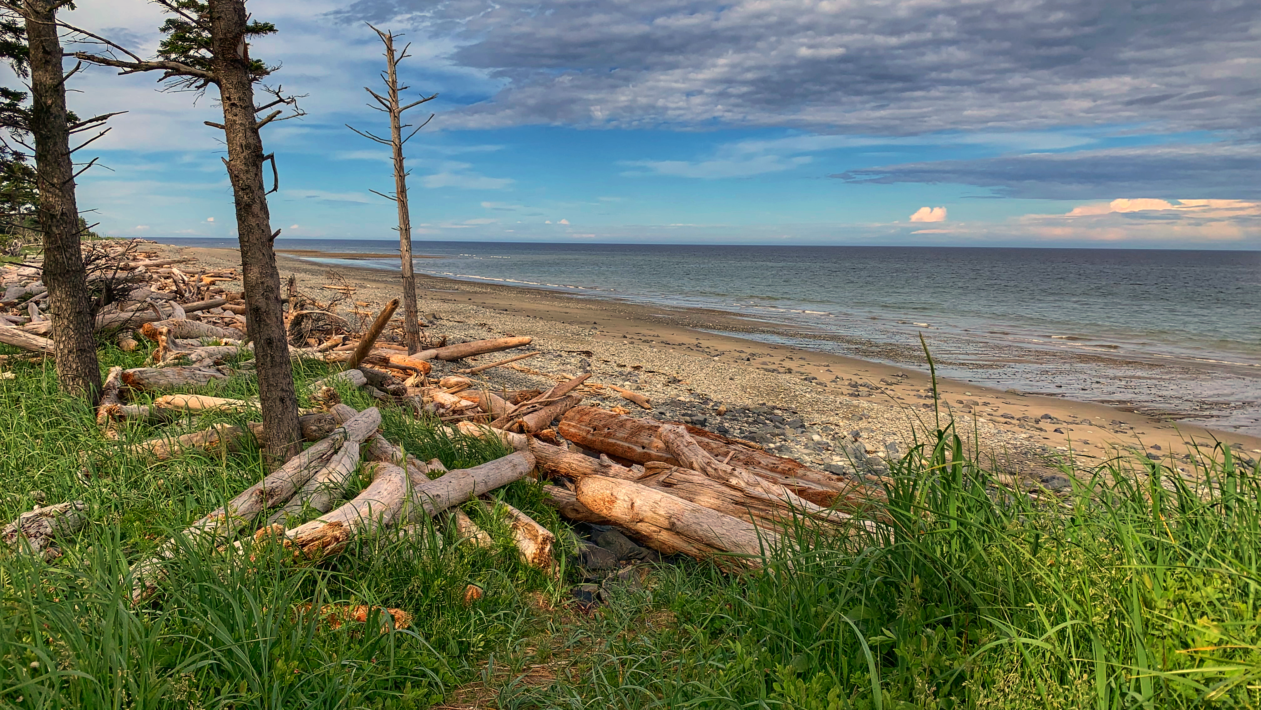
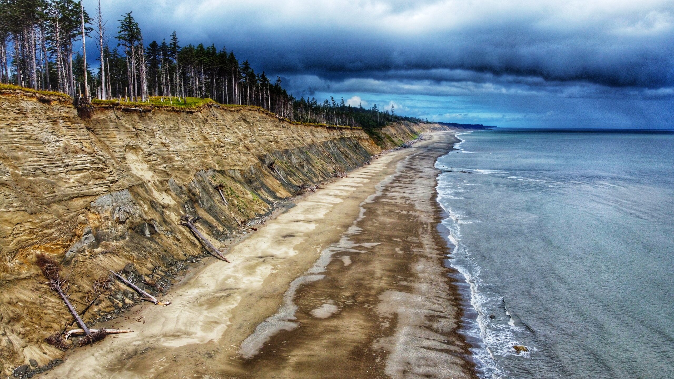
Aerial view facing towards Bear Skin Bay on the horizon
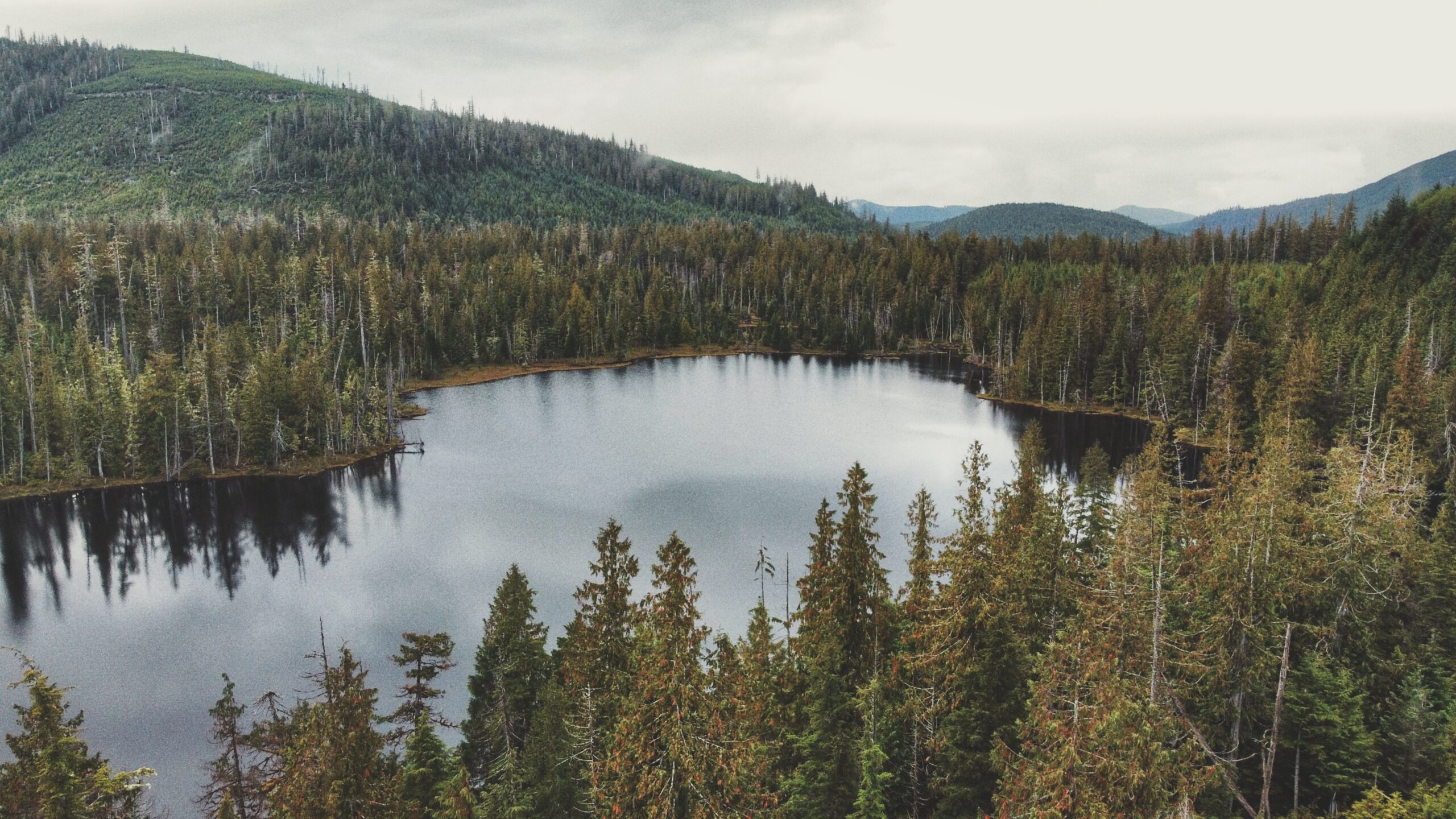
Small Lake in eye level
Some evidence of a past forest fire?
Boggy environment for exploration around the lake
Small Lake Features: Boggy explorations Old Forest Fire Remnants A most likely Elks’ destination
ABOUT
Small Lake came to our attention after perusing an early edition of Fern Henderson’s Trail Hikes and Beach Walks. We got curious about this trail because it is not mentioned in the Haida Gwaii Trails Strategy (2011), nor is it mentioned in the last edition of Fern Henderson’s text (2005). Thus, we made it a point to explore this hike and see if the trail still existed since – we presumed – it probably was not being maintained.
LOCATING THE TRAILHEAD
Getting to Small Lake can be a little tricky: Drive west of Daajing Giids along the Honna Forest Service Road. Follow the Honna FSR north, past the Sleeping Beauty trail signage. The road gets fairly steep, so make sure you are driving a truck or capable SUV. A small car will not be able to complete the drive.
After driving for approximately 9.23 kilometres, or 20 minutes, you should notice a fairly obvious pullout to your RIGHT. We came upon this quite by chance. As we were driving up the narrow road, we spied what looked like an old spur road and assumed that’s where we’d have to walk to find Small Lake. We drove a few feet further and saw the pullout – that’s when we saw the unmarked trailhead! Talk about a stroke of luck!
HIKING THE TRAIL
The trail to Small Lake is unmarked, but obvious, and takes about 10 minutes to complete. It is single- track and muddy, so one should use caution. The environment is one of young Sitka Spruce, some moss, huckleberry bushes, and other flora typical of a bog environment. Once you arrive at Small Lake, the grounds are soggy (bog), but dense with Labrador Tea and sundews. In early editions of Trail Hikes and Beach Walks, Fern Henderson notes that Small Lake is “an interpretive circle walk [. . .] through virgin forest.” The brochure she mentions is long gone, but it is still possible to walk a circle around the lake.
The trail around Small Lake has been completely overgrown, but it is possible to identify the odd white trail marker on dead cedars that are still standing. At the time we did our hike, we only walked about halfway around the lake before turning around due to torrential rains. Given the size of Small Lake, we would anticipate it would take no more than 35-40 minutes to complete the circle.
At the time Fern Henderson wrote her text (1978), she noted the lake was a popular place for swimming, fishing, berry-picking and picnicking. While one can certainly still do those things, it’s probably not a beehive of activity these days; however, it is obvious that somebody still uses Small Lake as a recreational site. When we visited, there was clear evidence of a recent campfire and a small boat nearby.
Of note: Elk appear to frequent the area. As we ambled about the lake, we spied numerous elk droppings along the boggy ground.
The aerial view of Gold Creek towards the Mayer Lake
The smooth curvy placid waters of Gold Creek
Water lilies abound in summer just before reaching Mayer Lake
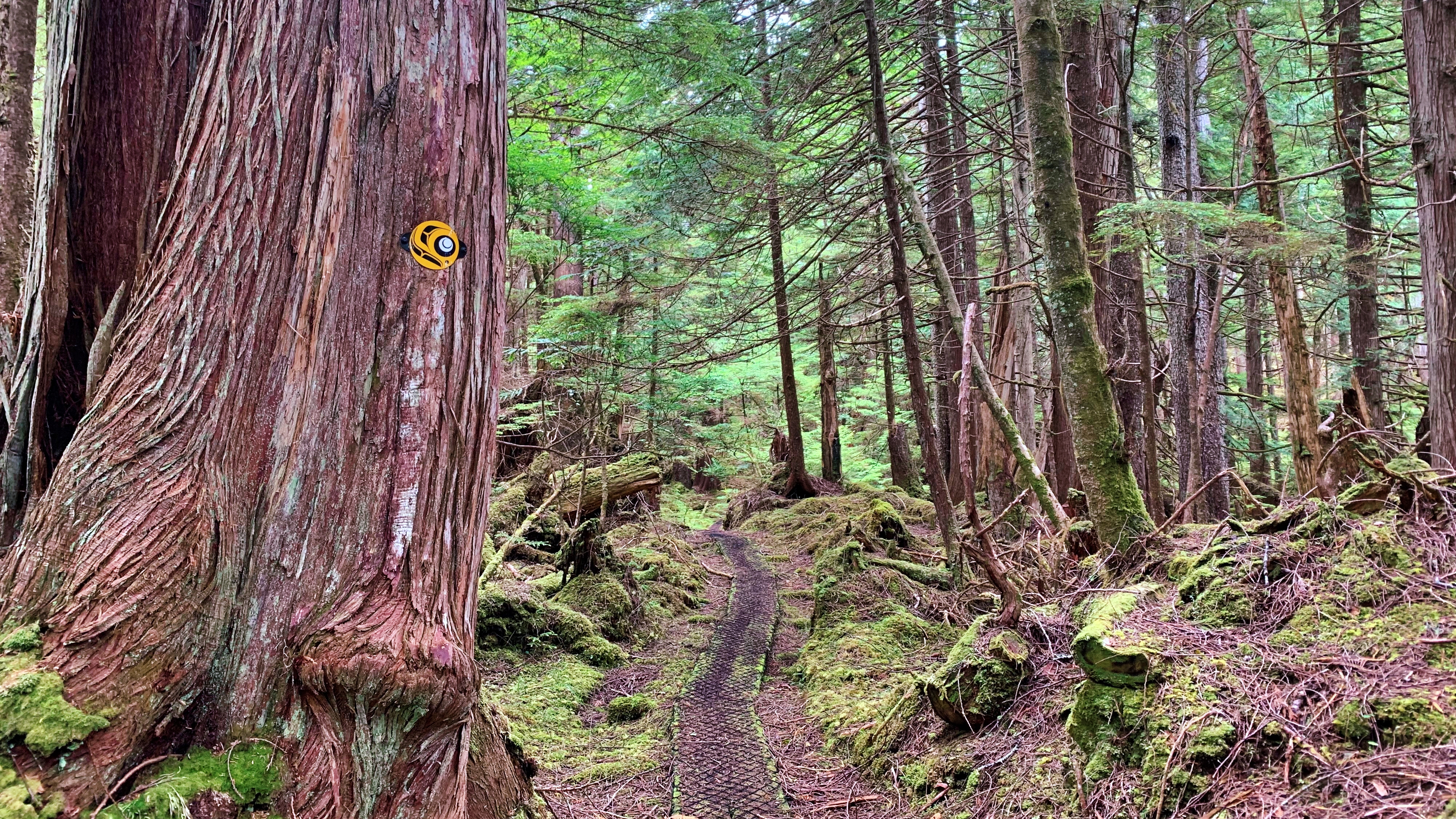
The initial part of the trail that shows the winding creek on the right side
Gold Creek Trail Features: Muskeg terrain and flora Winding creek Entry to Mayer Lake Homestead remnants
NOTE: Gold Creek often floods during the wet season, making the route inaccessible. We, therefore, recommend it as a summer-only hike.
ABOUT
Gold Creek Trail meanders through Muskeg, crosses the highway between Tlell and Port Clements (the old “Mexican Tom Trail”), and eventually flows into the south end of Mayer Lake via the Mayer River. The trail is informal – unmarked – and is typically begun at the Mayer Lake Day Use area; however, we decided to go against the grain and commenced our hike of this informal route at the “Gold Creek” bridge, just along Highway 16.
WHY GOLD CREEK TRAIL?
Unfortunately, you’re not too likely to find any gold along the banks of Gold Creek. According to Dalzell (1973), the name “Gold Creek” is simply a carry-over from the days when the Mayer River – which you’ll also pass by before reaching the south end of Mayer Lake – was called “Gold Creek” after an old prospector believed he’d found gold at the river’s mouth. The ungazetted name was given a bit of official status after the Department of Highways immortalized it on their bridge signage.
THE HIKE
We parked our vehicle on the shoulder at Gold Creek Bridge and started hiking on the west (LEFT) side of the creek. As noted above, the trail is informal and sans marker, but all you have to do is follow the creek until you reach the south end of Mayer Lake. The area around the creek is delicate muskeg, so a good pair of boots or waterproof shoes is recommended.
As you amble about the meandering creek, pay close attention to the fragile environment in which you’re walking: Labrador Tea, Sundews and other bog flora are not uncommon. Quite early on in the hike – at around the 10-minute mark – you will also spy two fence posts, from days gone by, on either side of the creek. We wonder what these were used for.
After about an hour, we reached the “junction” where Gold Creek meets the Mayer River. At this point in the hike, you enter a small forested area before re-emerging at the point where the Mayer River meets the south end of Mayer Lake. As you walk along the shore of Mayer Lake, an actual trail is finally visible. You will also likely notice some deer exclosures on the forested side (to your left). These are quite new, having been installed in 2022 in an effort to restore and protect k’ay trees (Crab apple) – the only native fruit trees on Haida Gwaii.
We concluded our hike at the Mayer Lake Day Use Area just as the sun was setting. The serene calm was interrupted by a beaver splashing its tail in the lake. To save time, we walked back along the dirt road and along the highway to our vehicle at the Gold Creek Bridge.
Of course, most people who choose to do this hike are more likely to begin at the Mayer Lake Day Use Area. In that case, once you reach the Gold Creek Bridge, you can simply return the way you came or walk back to the Day Use site via the Highway. Regardless of where you begin, we encourage you to take your time along the banks of the creek: The environment is so unique and so calm that one cannot help but admire the natural beauty that surrounds you. On a clear day, the waters of Gold Creek resemble that of a mirror!
DIFFICULTY: Easy TOTAL DISTANCE: 1.8km (one-way) TIME: 1 hour and 20 minutes TYPE: Out-and-Back ELEVATION GAIN: None
The Cape Fife shelter – it is cozier than it looks!
The signage is helpful
Cape Fife Trail Features: East Beach Access Old growth forest Overnight shelter Settler remnants Board walk trail parts
ABOUT
Cape Fife Trail was established circa 1910 as a settler wagon road to access parcels of land and serve as an important lifeline and access point to East Beach. The wagon road originally started slightly north of the current marked route and terminated at Kumara Lake. The trail now known as Cape Fife was cut in 1972 by the Masset Lions Club, though it does connect with – and follow – large sections of the original route (the old wagon road is obvious when you’re walking on it). At just over 11km one-way (signage says 10km, but this is wrong), it is a long but relatively easy hike with very little elevation gain.
As you hike this route, you will encounter varied landscapes: Rich forest, delicate bogs, intricate sand dunes and endless beaches. Taken as a comprehensive whole, Cape Fife offers a little something for everyone. Whether you choose to hike the whole route, part of it, or camp overnight at East Beach, is entirely up to you. In brief, you can make the hike whatever you’d like it to be.
LOCATING THE TRAILHEAD
The Cape Fife Trail is one of the few signed and marked routes on Haida Gwaii. To access the trail, drive north to Naikoon Provincial Park towards Taaw (Tow Hill). Park your vehicle at the Tow Hill parking lot. From here, walk across the Hiellen River Bridge You will see the Cape Fife trailhead to your right. Thus you now begin your epic hike toward Haida Gwaii’s East Beach!
HIKING THE TRAIL
The Cape Fife Trail begins on the north side of the Hiellen River and is mostly flat and level the whole way. After hiking for about 5 minutes, you’ll come upon a wide open space and a fork in the trail. Cape Fife continues to your LEFT (going right will take you onto the Four Corners). Before continuing, we recommend studying the Cape Fife information board also found in this area. It outlines the route and highlights a couple of key features – study it to ensure you’re adequately prepared for the hike.
The first 4 kilometres take you through a beautiful forest environment, including old-growth cedars, hemlock and pine. Thick mosses of various shades of green carpet on the ground and strategically placed boardwalks help navigate a number of potentially miry sections. After clearing the forest, you enter the bog ecosystem and begin crossing the Argonaut Plain.
If you’ve hiked other bog trails on Haida Gwaii – White Creek, Nadu Homestead or Boulton Lake, for example – you know they can be tricky on account of the delicate and wet ground. Thankfully, you don’t have to contend with that too much on the Cape Fife Trail because boardwalks and stepping logs line the route; however, we recommend still using caution because a number of the boardwalks in this area are old and in need of repair or replacement.
In addition, the trail, at this point, has a lot of roots jutting out of the ground – and this goes on for at least a few kilometres – making parts of the hike a little more challenging. Nevertheless, just watch your step and enjoy the bounty of Labrador tea that surrounds you.
An aside: Henderson (1978) notes that at the 5-kilometre mark, on the north side of the trail, a flagged route will take you to Mica Lake in approximately 15 minutes; at the same point, but on the south side of the trail, there are remnants of a homestead. In the 45 years since those words were written, the flagging tape is gone and we did not notice any homestead remnants at this point; however, the ditching, which was all done with pick and spade, is still very much in evidence along various sections of the Cape Fife Trail. We suppose one could still hike to Mica Lake, but be sure to have a compass or directional app with you.
At about the 7km mark you can hear the waves of Hecate Strait in the distance. The trail also begins a slow descending pattern as you make your way toward the beach. While this part of the trail is mostly clear, roots represent the most significant and sustained obstacle. There is also one area that requires you to get on your knees to crawl under some deadfall.
As you close in on Cape Fife, you descend some stairs and enter the home stretch! These last few meters, though, are covered with long beach grass, obstructing the trail from view. As such, use caution: It’s difficult to see what you’re stepping on and thus represents a tripping hazard. Once you clear the long grass, you are at the Cape Fife shelter!
The Cape Fife shelter was a joint initiative between the Haida Nation and BC Parks. It is built in the traditional longhouse style and contains all of the amenities one could want for a brief break (if hiking Cape Fife as an in-and-out route), or to camp overnight: 4 bunkbeds, wood stove and a small table with a guestbook. An outhouse and a couple of hammocks are also available on-site. Curiously, cellular service is also available here. Kumara Lake, the original terminus of the wagon road, is also visible about one-hundred meters north of the shelter.
Once at the shelter and East Beach, you might wonder “Why Cape Fife?” because there is no “cape” at the trail’s end or within the immediate vicinity. The simple answer is “time.” After years of erosion from the powerful waves, the “cape” that once jutted out here has fallen to the sea.
From Cape Fife, you can simply go back the way you came or make this a much longer hike by walking up East Beach towards the beginning of Rose Spit (roughly 8km) and then hiking south back towards Taaw (roughly 18km).
While Cape Fife is generally an easy hike, its length makes it challenging for some. Allow anywhere from 4 to 6 hours to complete the hike one-way and be sure to bring plenty of water and snacks. The route is well-delineated with a combination of orange triangles and Ben Davidson’s trail marker.
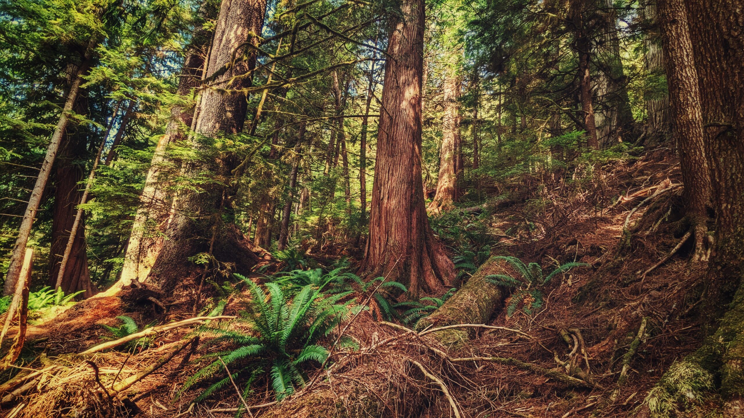
Dempsey Collinson Trail Features: Historic logging practices Salmon Habitat Old Growth Trees & CMTs Rope Sections
ABOUT
CONTEXT
Located just a few feet from the western Crabapple Creek trailhead entrance (near the old M&B site), you’ll spy the “Dempsey Collinson Chief Sgiidagids Memorial Trail” signage. The marker is posted on a large alder tree but, depending upon the time of year, it can be difficult to spot as branches may obstruct it from view. Who was Chief Skidegate and why is there a trail named in his honour? This is not the place for a detailed biography, but it is helpful to provide a brief overview for context:
Dempsey Collinson became Chief Skidegate on 23 March 1973. The event was historically significant because he became the first Haida of the 20th century to renew the ancient tradition of proclaiming his chieftainship through the potlatch ceremony. As Chief Skidegate, he played an integral and life-long role in the community: He helped guide the Council of the Haida Nation at their Hereditary Chiefs table; he worked for his community at the Band level as a Councillor and Chief Councillor; he helped save the Haida Gwaii Watchmen Program via a generous personal monetary donation in the 1980s; and he provided food for the community, always stating “when the tide is low, the table is set.”
When Chief Skidegate passed away in 2008, the tragic loss was even acknowledged in the BC Legislature by Premier Campbell. As such, it is little wonder that Dempsey should have a trail bearing his name. Throughout his life, in both thought and deed, he fought for and protected, Haida Gwaii.
THE VISION
In 2017, local trailblazers Mark Walsh and Remi Gauthier pitched “a plateau trail between Skidegate and [Daajing Giids]” to the municipality of Daajing Giids and even presented a rough outline of where the trail might go. As per their sketch, the route would begin at Skidegate’s Spirit Lake Trail; climb towards Slarkedus Lake and then swing west, run along the top of the plateau through delicate bog and muskeg.
It would eventually pass by Regier Lake before beginning a slow descent and passing along the Gore Brook and Crabapple Creek trails before exiting along the beach, rounding Haydn Turner and going towards Kagan Bay and the log sort. From here, said Walsh and Gauthier, you could connect up with the Sleeping Beauty and Slatechuck Mountain trails. If the route came to fruition, it would be an epic trail that would run north of 10 kilometres one-way.
The idea received a warm reception from the municipality and Skidegate; however, funding difficulties have prevented the full trail from taking shape. Nevertheless, a “rough draft” for a west-end loop began development in 2018 and finished in early 2020. It is this version of the trail covered here.
THE REALITY
As was noted above, the Dempsey Collinson Memorial Trail is located a few feet behind the western Crabapple Creek trail marker, near the old M&B site. Just a few feet in, you will spy the rusted remains of an old “diesel donkey” hidden behind some bushes to your RIGHT. After a couple of minutes, you’ll come upon the first of many minor rope sections of the hike – this one bringing you down to Crabapple Creek. Cross the creek and continue hiking north.
As you amble alongside Crabapple Creek, the trail is a bit overgrown thanks to an abundance of salmonberry bushes; however, after you clear them, the trail follows an old 1940s-era skid road and gently climbs. As you hike this section of the trail – crossing a Crabapple tributary along the way – you will spy more of Haida Gwaii’s early logging history: The skid road you’re hiking and many tree stumps, some showing clear evidence of springboard logging.
After climbing the slope and moving east, you begin to see the real treasures of the Dempsey Collinson Memorial Trail: Significant groves of old-growth cedar which, for us, was reminiscent of the Old Growth Alley Trail in Tlell. As you stand amongst this grove of ancient trees, you cannot help but feel small and in awe. Look closely: Many of the ancient cedars here show evidence of bark-stripping by the Haida.
Continuing east towards the Gore Brook Trail, there is one major rope section to contend with but, once you clear this hurdle, it’s a gradual descent down the ridge. You will eventually come upon scallop shells lining the trail. These were put in place by former school teacher and outdoor enthusiast, Kevin Borserio.
These shells signify that you’ve completed the marked “Dempsey Collinson Memorial Trail” and entered the Gore Brook Trail. After completing Gore Brook, you can stop your hike here, at the cul-de-sac on Second Avenue, or enter the Crabapple Creek Trail and make the entire route a big loop trail.
Trail co-creator Mark Walsh has said that the marked route “shows the whole history of human habitation on these islands.” That’s a lofty statement but, we think, holds true: As you hike this moderately challenging route, you see ancient trees and landscapes; evidence of ancient Haida land use; early 20th-century logging practices; and contemporary outdoor recreation. The trail, while only a small part of the original vision, is still epic in its coverage.
DIFFICULTY: Moderate TOTAL DISTANCE: 4.3km (one way); 6km, if including Gore Brook & Crabapple trail segments TIME: 3hrs TYPE: Loop (including Gore Brook & Crabapple trail segments) ELEVATION GAIN: 260 meters
2nd Avenue entrance marked by trail head of the Charlie Hartie Trail
The trail goes up gradually and can be challenging
Looking down at the lower trees of the trail
Some forest parts have ferns and moss blankets
Charlie Hartie Features: Monumental Cedars CMT (Culturally Modified Tree) Scout Lake access point
Note: This trail is also known as “Charlie Valley” and “Charlie Hardie South Lake Trail” (the latter referencing Scout Lake).
ABOUT
Charlie Hartie Trail, named after a nearby creek which itself was named after early residents of what was then Queen Charlotte City, located at the top of 6TH street, just off 1ST Avenue (turn right).
According to a small information card available at the Daajing Giids Visitor Centre, this rough out-and- the back trail takes approximately 2 hours to complete (return). It is important to note the red text used on the trailhead marker. The village uses this colour to denote moderate to hard trails while yellow is used to signify easy routes.
From the trailhead, the Charlie Hartie Trail starts off as a narrow path and gently slopes upward. About 15 minutes in, the trail widens and, as a result, gets a little easier to navigate. Please note that, at this point, the obvious path disappears as you continue your ascent; however, the trail is clearly marked with flagging tape and, curiously, clam shells, which have been placed in groups of three.
In this respect Charlie Hartie shares an affinity with the nearby Gore Brook Trail, which has been marked with scallop shells: Both demonstrate – through these markers – the complex interplay of forest and ocean on Haida Gwaii.
After about 30 or so minutes, the clam shells mostly disappear and blue flagging tape becomes the primary trail marker. The trail begins climbing steeply by this point and the forest remains fairly dense throughout; however, there are a few highlights along the way: A couple of massive trees that have long since fallen over (makes for a great selfie!), an interesting “handrail system” designed to assist you up one of the steeper sections (originally developed as a mountain biking obstacle), impressive cedars, and a culturally modified tree (CMT).
Following a challenging climb, you will eventually come across a fork in the trail and some signage. Curiously, this point marks the end of the “official” trail; or, at least, the hikeable portion of the Charlie Hartie Trail.
The LEFT pointing arrow – “Charlie Hardie” – will bring you to the trail’s namesake creek; however, it’s obvious this route hasn’t been used in a very long time. Significant amounts of blowdown, overgrowth, and lack of markers make navigating toward the creek an unrealistic option. In fact, the Village of Daajing Giids knowledge-holders familiar with this trail strongly advises hiking toward the creek for those reasons.
The RIGHT pointing arrow – “Scout Lake” – will eventually bring you to, well, Scout Lake! For more on this connector route, see our entry at this link.
We should note, by way of conclusion, that this trail seems awkwardly named. Outside of the trail’s starting point, you don’t actually follow the route’s namesake creek; rather, you follow “Templeton Creek” for much of the trail’s length. Based on old maps we’ve seen, this trail may once have been a loop, which took you along Charlie Hartie Creek but, again, overgrowth and lack of maintenance have all but eliminated a portion of this route.
The old fly wheel – remnants of the Saw Mill in town
The heritage tour illustrated map by Judie Hilgemman in “Village of Queen Charlotte Heritage Walking Tour” written by Heather Ramsay
Daajing Giids Seawalk Features: • Urban hike • Early & Contemporary history
ABOUT
On its surface, the Daajing Giids Seawalk is an inspiring urban hike or stroll along the village’s bustling waterfront. At a deeper level, though, this one-kilometre walk takes you deep into the historic heart of Daajing Giids, highlighting key milestones that helped in its own coming-of-age story. That, for us, is the real beauty of the Seawalk and makes it a “must-do” for anyone visiting Haida Gwaii.
The Daajing Giids Seawalk begins at the Visitor Center, near the humpback sculpture by Lon Sharp. It is here, near the strategically placed picnic tables, that you’ll come across the first nugget of historical wisdom on this hike: A short information write-up explaining what brought settlers to what is now Daajing Giids. The Visitor Center also distributes copies of “Village of Queen Charlotte Heritage Walking Tour” written by Heather Ramsay at a reasonable cost. This booklet is rich with the early history of Daajing Giids previously known as Queen Charlotte.
There are a total of 8 such write-ups found throughout the community, all but three of which are found directly along the Seawalk route (the three stragglers can be found across from J&T Restaurant, beside Premier Creek and near the old hospital).
Once you’ve finished admiring the views at the Visitor Centre and Skidegate Inlet, follow the brick-coloured paving stones – which mark the early and late parts of the route – as they wind through Spirit Square. Completed in 2011, this small plaza area has become a cornerstone of the community for public events. The annual Christmas tree light-up is done here and live music is often played on the impressive bandstand. In many ways, Spirit Square could represent just how far Daajing Giids has come in its progressive journey: A communal space welcoming to everyone.
Moving past Spirit Square, the pathway takes you down to the nearby docks. You’ll have to cross the road to continue along the Daajing Giids Seawalk, which is again signified by the brick-coloured paving stones. At this point in your hike, you can observe the Fisherman’s Memorial and the bustling harbour down below.
Another historic write-up, appropriately detailing the importance of the fishing industry, can also be found here. Curiously, from here, the Seawalk is unmarked for about two-hundred meters or so: Walk up the road, past Northern Savings and Charlisle Clothiers, until you hit Wharf Street. Turn LEFT and follow Wharf Street for approximately 150 meters until you hit Oceanview Drive (the main road in town).
Once on Oceanview Drive, the Daajing Giids Seawalk formal markings return; however, the pathway is no longer denoted by paving stones for this stretch of the journey. Instead, the route is marked by a yellow “walking” figure painted on the side of the road.
While this section might prove to be “too urban” for some (since you’re literally walking alongside vehicle traffic), it nevertheless provides epic views of the inlet, harbour and seaplane docks. On the opposite side of the road, you’ll also spy the historic Premier Creek Lodge. Take a brief detour and cross the highway if you’d like to read a bit more history!
After hiking alongside the highway for just over 200 meters, you’ll spy the return of the brick-coloured paving stones at the landscaped garden adjoining the local ballfield. The route will take you around the ballfield, past the Community Hall and children’s park before concluding near the Vancouver Island Regional Library.
At the terminus point of your urban hike, you’ll spy the remnants of Daajing Giids’ old sawmill, which operated between 1909 and 1926. Stroll down the stairs onto the rocky beach for a closer look at the village’s early economy! A nearby write-up helps to provide more context.
Of note, just beyond the library, you’ll see a narrow roadway (Bay Street). This area was once considered the heart of downtown as it was lined with many a business back in the day. Some classic structures still remain, hinting at days long gone by.
Indeed, the Daajing Giids Seawalk is an urban hike. There are plenty of beautiful photo-ops but, just as important, this immersive walk encourages us to learn along the way. Take your time here – you’ll be all the richer for it.
DIFFICULTY: Easy TOTAL DISTANCE: 1 kilometer TIME: 30 minutes TYPE: Point-to-Point ELEVATION GAIN: None
Some of the old fence poles are still around from the settler’s history
The start of the beach trail from the edges of the ranch fence
Looking forward on the beach, dunes amiss
Smooth beach sands on some parts of the trail when low tide
TLELL DUNES WALK FEATURES: · Sandy beach · Early settler history
ABOUT
The “Tlell Dunes Walk” has only ever been mentioned in Fern Henderson’s seminal text, Queen Charlotte Islands: Trail Hikes and Beach Walks (1978). Out of mere curiosity, we decided to check out this beach walkout.
Indeed, while much has changed since Henderson’s book was first published, the directions provided for this particular walk remained virtually unchanged in the current day.
In short, you will find the start of this “beach walk” approximately 3 kilometres south of the Tlell River Bridge and just north of Wiggins Road. A rough dirt road on the ocean side of Highway 16, not far from Hydro Pole 742, indicates the start of this walk.
To begin, gingerly make your way over the rocky shoreline and mountains of driftwood to the beach below. Once on the beach, walk approximately 2 kilometres north and link up with the Misty Meadows Loop trail.
Henderson describes this hike as “a family dune walk for a sunny day.” It certainly is family-friendly, but we’d recommend walking this beach – also known as “Wiggins Road Beach” in the current day – on a low tide; otherwise, you’ll spend the duration hiking over stones of various sizes. The sandy beach is really only exposed during low tides.
At low tide, a significant, firm, sandy beach is exposed. The cool waters of the Pacific Ocean may beckon and call you for a swim; or, if beach combing is your thing, the numerous tide pools that typically form may be of interest.
If you choose to walk closer to the marram grass and treeline, keep an eye on some of the fence posts that line this path – they belong to Richardson Ranch and some date back to 1920.
Besides the local settler history on the one hand and the powerful ocean on the other, the major attraction of this walk, according to Henderson, is the presence of sand dunes. In 2023, we view this statement as more of a historic curiosity and testament to the changing shoreline of Haida Gwaii.
There are certainly very minor sand dunes to be seen along this route, but the more notable ones are observed on the Misty Meadows loop trail and nearby Pesuta/East Beach hikes. Perhaps dunes were more significant here 45 years ago but, in the modern day, the beach itself takes center stage.
In any event, after you’ve walked approximately 2 kilometres, you can either continue along the Misty Meadows loop (which you will have entered by this point) or simply turn back and return the way you came. The original exit of this route – a path near the Parks building – has long since disappeared.
There are lush marsh lands on top of the sand dunes in some parts
The East Beach Trail beaches are endless, although one should closely estimate when the tides come in
The sand dunes on East Beach trail
The top view from the marshlands on top of the dunes
EAST BEACH TRAIL FEATURES: Miles of remote beach White Cliffs Wild Cows
ABOUT
Often described as “Haida Gwaii’s version of the West Coast Trail,” the East Beach Trail wilderness hike is a multi-day trek that will take you from the Tlell Day Use area all the way up towards Cape Fife and, if you’re feeling up to it, Rose Spit and Tow Hill. The total length of the hike depends on your desired exit point. If you choose to conclude your adventure at Cape Fife, you’ll have hiked approximately 78 kilometres when it’s all said and done; or, if you choose to do the Rose Spit loop, the total length of the trail is about 89 kilometres. Either way, it’s a long sojourn and Parks Canada recommends 4 to 8 days to complete the hike; however, the happy medium seems to be anywhere between 3 to 5 days, depending upon one’s fitness level and ambition.
Because this hike is multi-day, it is different from others on Haida Gwaii (the majority of which are day hikes or shorter). In brief, East Beach demands much greater preparation. In order to do this hike, and do it safely, we’d recommend some pre-planning by considering the following:
It is suggested that you hike SOUTH to NORTH so that prevailing winds will be at your back. Hiking in this direction should also shield you from being directly hit by torrential rains.
Bring enough supplies to last the length of your hike (in days).
Ensure you bring enough water OR a good quality water filter (we suggest LifeStraw). Fresh water is surprisingly difficult to come by along East Beach. If using a water filter, don’t be alarmed by the “brown” colour of your water – it’s perfectly safe to drink!
Have knowledge of – and be able to read – a tide table. Sections of East Beach should be completed on a low or receding tide.
Plan to cross rivers on a receding tide; the 3 major rivers along this route cannot be safely navigated on a high tide. We’ve seen unprepared hikers who started their adventure “whenever” and had to wait 5+ hours to cross a river!
The area known as “White Cliffs” is approximately 20 kilometres long and MUST be completed on a receding tide. If you get caught here on a rising tide, that could spell trouble!
There are 2 recognized shelters along the route: The first is at Cape Ball and the second is at Cape Fife. Older maps of East Beach indicate another shelter near the Oeanda River; however, we didn’t notice it (didn’t take the time to look!). There are other informal shelters along the way, too, signified by buoys and floats on driftwood.
The East Beach Trail, while long and somewhat arduous, can be a fun adventure with the above points kept in mind.
Once you cross the Cape Ball River, you’ll encounter the White Cliffs. Again, do this on a receding tide because the cliffs go on for some 20 kilometres and you don’t want to get stuck here! Nevertheless, this area of East Beach is extremely photogenic and, for us, represented one of the highlights. Once you clear the White Cliffs, there is “some interesting landscape but [it gets] mostly monotonous,” to quote another write-up. In short, it’s miles and miles of sand, interspersed with dunes and – in one area called the junk pile – a lot of debris from overseas.
Despite the length of the East Beach hike, there’s really not much to say in terms of narrative. Hiking from the Tlell River Day Use area, you’ll begin in a lovely and lush forest, which runs for about 2 kilometres. From here, you’ll emerge along the banks of the Tlell River and trek for the better part of 4 kilometres towards the Pesuta Shipwreck. Along the way, you might spy river otters frolicking in the Tlell and you’ll most definitely come across a couple of abandoned cabins – the perfect place to rest and have a snack!
As you approach the Pesuta, the sand dunes will undoubtedly grab your attention. From Pesuta, you’ll cross the Mayer River and make your way toward Cape Ball, which is approximately 6 kilometres down East Beach. While the sand is mostly firm, we found that comfortable footwear, i.e.: crocs are ideal here as it gives your feet a bit of a break . . . something you’ll need because you’ll be walking on a LOT of sand!
Anyway, the Cape Ball Shelter represents a nice place to stop depending upon your time of arrival. The shelter, restored in 2017, is small and rustic, but beats staying out in the elements! Speaking of which, did you know Cape Ball may have historically been a watering hole for mammoths? Research conducted in 2015 discovered a large abundance of dung-eating fungi under a layer of peat.
After crossing the Oeanda (the largest river along East Beach), you have the option of hiking along the beach OR exploring the grasslands and wild strawberry fields. For us, the grasslands were a welcomed change of pace, if only because they offered different scenery… . for a while. Seriously, you’d almost think you were transported over to the prairies – not the “edge of the world!” After a time, Cape Fife will come into view and this can be an early exit point or a rest stop before continuing on to Rose Spit and Tow Hill. The Cape Fife Shelter is large and luxurious in comparison to Cape Ball. You may find it difficult to leave 😉
We explored the Rose Spit loop and enjoyed the salty air and seeing Hecate Strait and Dixon Entrance meet. It’s so cool to observe East Beach and North Beach on opposite piles of driftwood! On the other hand, this area is kind of funny, too, because you get passed by many a local and tourists on their vehicles, either food gathering or checking out the culturally significant Rose Spit. Still, it’s fun because you encounter another (small) shipwreck – the Kelly Ruth – and get the pleasure of seeing Tow Hill from a unique perspective.
We did not encounter much wildlife on our East Beach explorations: Some eagles, ravens, beach crabs, a few deer, and a small herd of the fabled wild cows. We came across some bear paw prints, but no bears. Interestingly, as we got further north, we did observe a few carcasses on the beach. It was difficult to tell what they were, due to their states of decomposition, but I’d guess small whales. They smelled lovely 😉
At day’s end, is East Beach worth the time? Absolutely, if you want to partake in an epic hike; however, we wouldn’t say it’s essential. There are plenty of worthy day trips at either end of East Beach (Pesuta, Tow Hill and Rose Spit) – just drive the highway in between! And, if you really want to see the enormous White Cliffs, you can do so as part of a day hike that includes Pesuta because it’s entirely possible to hike out to the start of the Cliffs near Cape Ball and return to the Tlell Day Use site within the span of a day.
DIFFICULTY: Hard TOTAL DISTANCE: 89 kilometers TIME: Multi-day TYPE: Point-to-Point ELEVATION GAIN: None
The trail can go into these lush moss carpets and ferns
The fading trail sign showing the name
The pond along the trail
The forest walk is therapeutic
Around the Pond Trail Features: Forest therapy Connects to Onward Point
ABOUT
The “Around the Pond Trail” is easily missed. It isn’t mentioned in any of the sparse trail literature on Haida Gwaii (published or online), nor is it mentioned on the popular Backroad Mapbooks. As such, people find this trail by accident or learn about it from a helpful local. Where is this fabled trail?
If you’re coming from the Kwuna ferry terminal, the trailhead is approximately 6 kilometres down Alliford Bay Road; if coming from Sandspit, it’s about 3.5 kilometres away. Once you get to the Onward Point Trailhead and parking area, simply look across the road towards Hydro Pole 79. There you will see a large diamond-shaped marker. This represents the “Around the Pond” trailhead. If you look closely, you might be able to make out the trail’s name; however, most of it has been completely wiped away on account of being exposed to the elements.
Fading signage notwithstanding, the actual trail is quite nice. As you begin, the route takes you through some dense salal bushes before opening up into a forest dominated by spruce and alders. Here, the moss-covered ground takes center stage and almost makes you feel as though you’ve entered another world. At about the mid-way point, the trail splits in two: Here, you have the option of going around the pond (the trail’s namesake), or doing a “quarry loop.” Both routes eventually link back up with the main trail, so it’s more a matter of preference.
Just before reaching the trail’s end point, you’ll notice more signage pointing towards a cell tower. Taking this short route of about two minutes takes you, well, to the tower. From here, you can either turn back towards the trail or exit out onto the highway and walk to Onward Point.
Once you reach the main trail’s terminus point, you will emerge along the highway a few hundred meters from where you began. Once here, another option presents itself: 1) You can walk back along the road towards Onward Point; or, 2) Cross the road and continue along the trail – which provides some nice beach views – until it connects up with the more popular Onward Point Trail system.
All in all, Around the Pond, represents a nice 20-minute walk through the forest. The route is well- marked and, we’d suggest, is family-friendly. During the spring, this area is also ideal for viewing the endangered fairy slippers. For the best use of time, we’d recommend doing this trail as part of Onward Point.
DIFFICULTY: Easy TOTAL DISTANCE: 1 kilometer TIME: 20 minutes TYPE: Loop ELEVATION GAIN: None
Cookie Consent
We use cookies to improve your experience on our site. By using our site, you consent to cookies.
Contains information related to marketing campaigns of the user. These are shared with Google AdWords / Google Ads when the Google Ads and Google Analytics accounts are linked together.
90 days
__utma
ID used to identify users and sessions
2 years after last activity
__utmt
Used to monitor number of Google Analytics server requests
10 minutes
__utmb
Used to distinguish new sessions and visits. This cookie is set when the GA.js javascript library is loaded and there is no existing __utmb cookie. The cookie is updated every time data is sent to the Google Analytics server.
30 minutes after last activity
__utmc
Used only with old Urchin versions of Google Analytics and not with GA.js. Was used to distinguish between new sessions and visits at the end of a session.
End of session (browser)
__utmz
Contains information about the traffic source or campaign that directed user to the website. The cookie is set when the GA.js javascript is loaded and updated when data is sent to the Google Anaytics server
6 months after last activity
__utmv
Contains custom information set by the web developer via the _setCustomVar method in Google Analytics. This cookie is updated every time new data is sent to the Google Analytics server.
2 years after last activity
__utmx
Used to determine whether a user is included in an A / B or Multivariate test.
18 months
_ga
ID used to identify users
2 years
_gali
Used by Google Analytics to determine which links on a page are being clicked
30 seconds
_ga_
ID used to identify users
2 years
_gid
ID used to identify users for 24 hours after last activity
24 hours
_gat
Used to monitor number of Google Analytics server requests when using Google Tag Manager