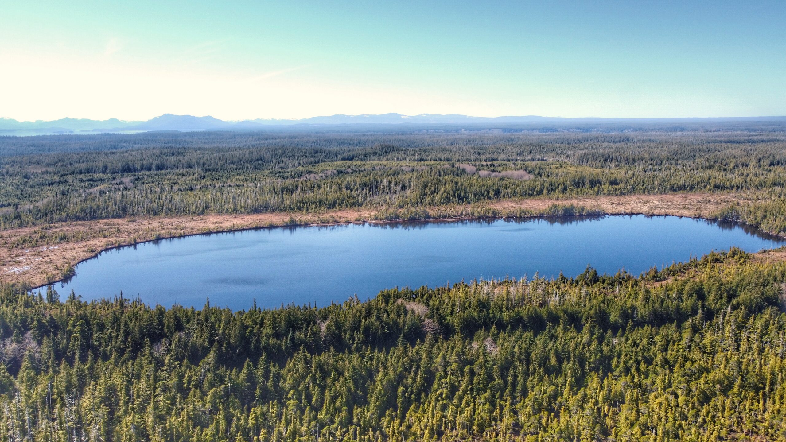
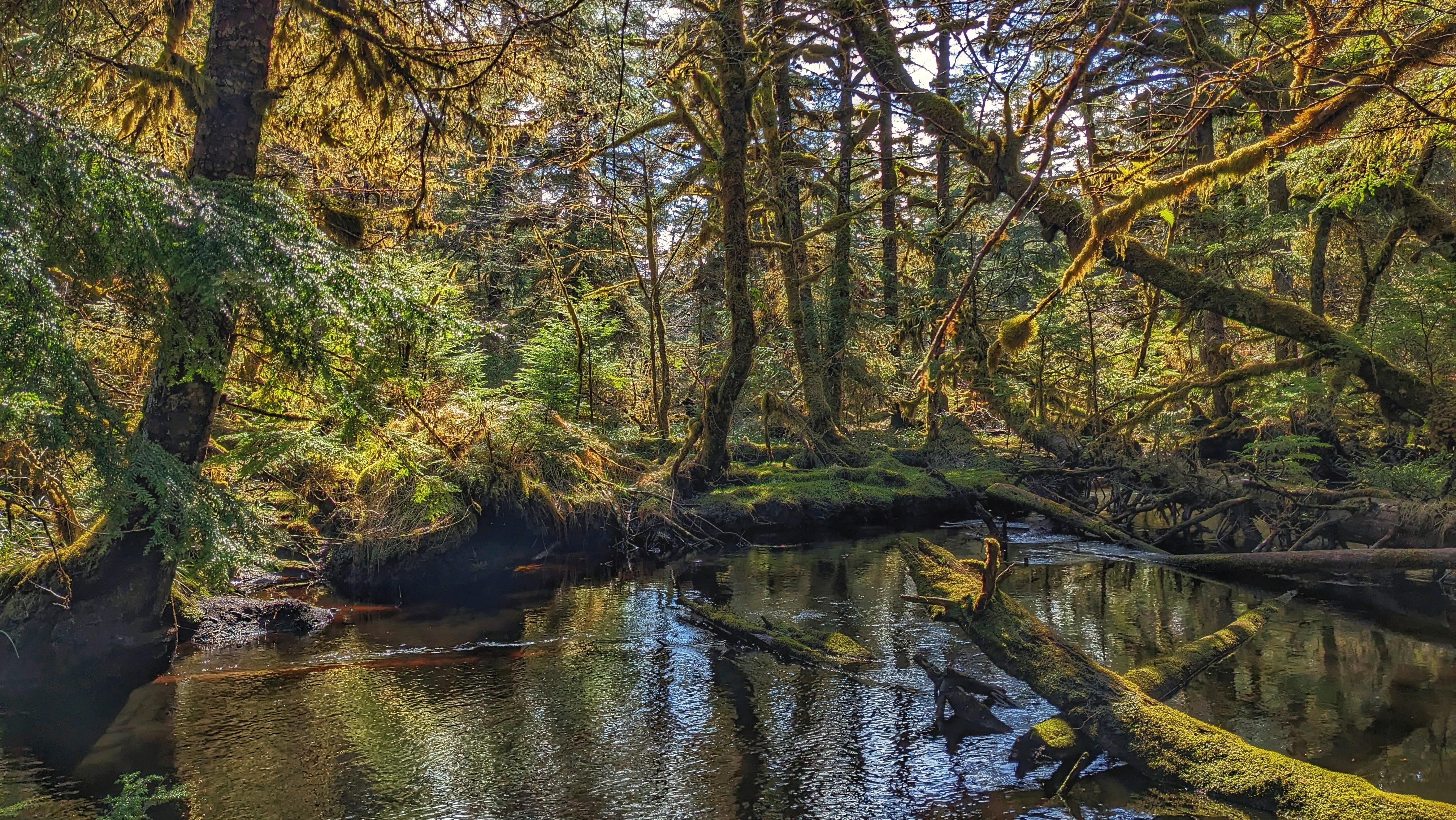
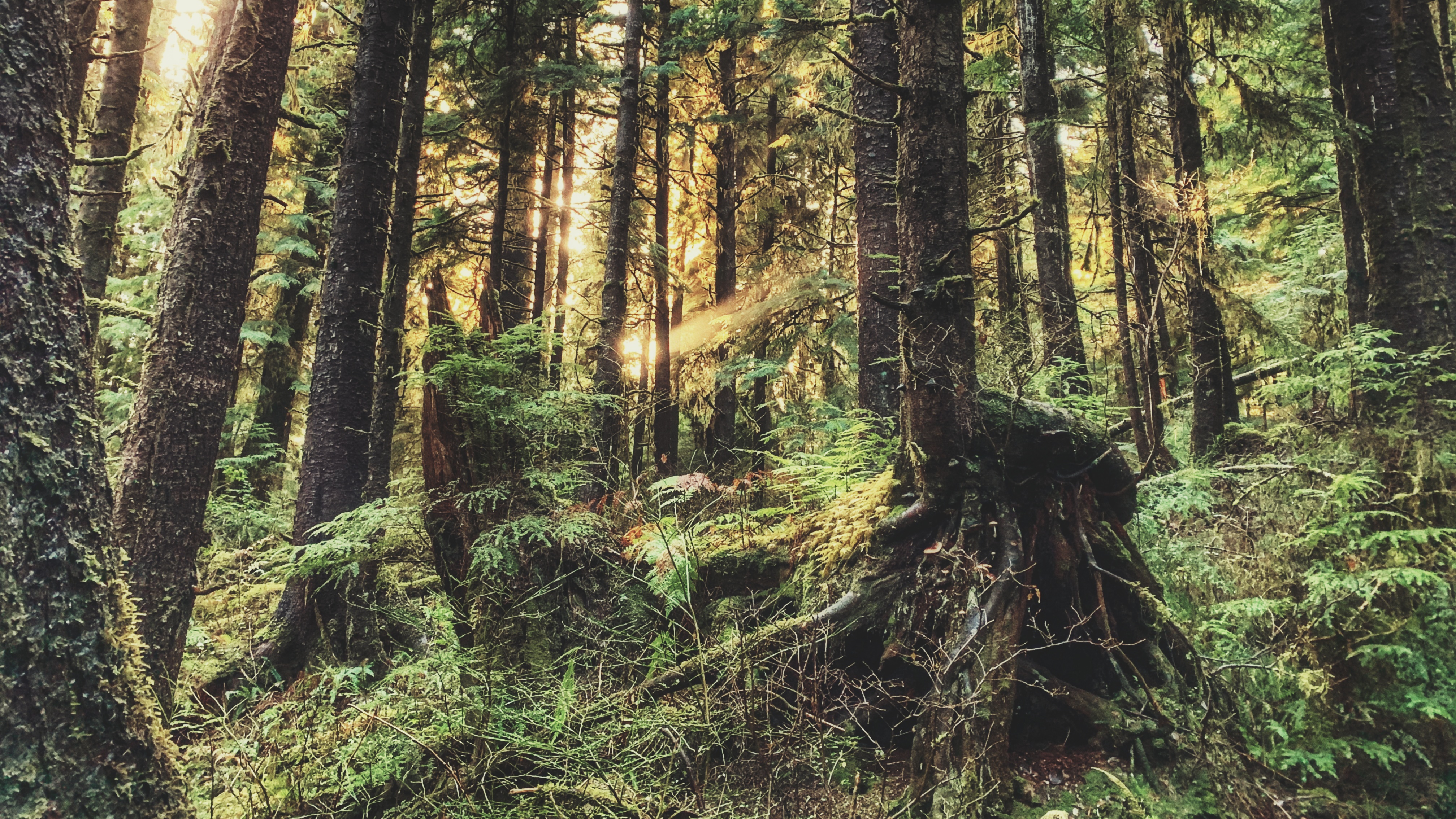
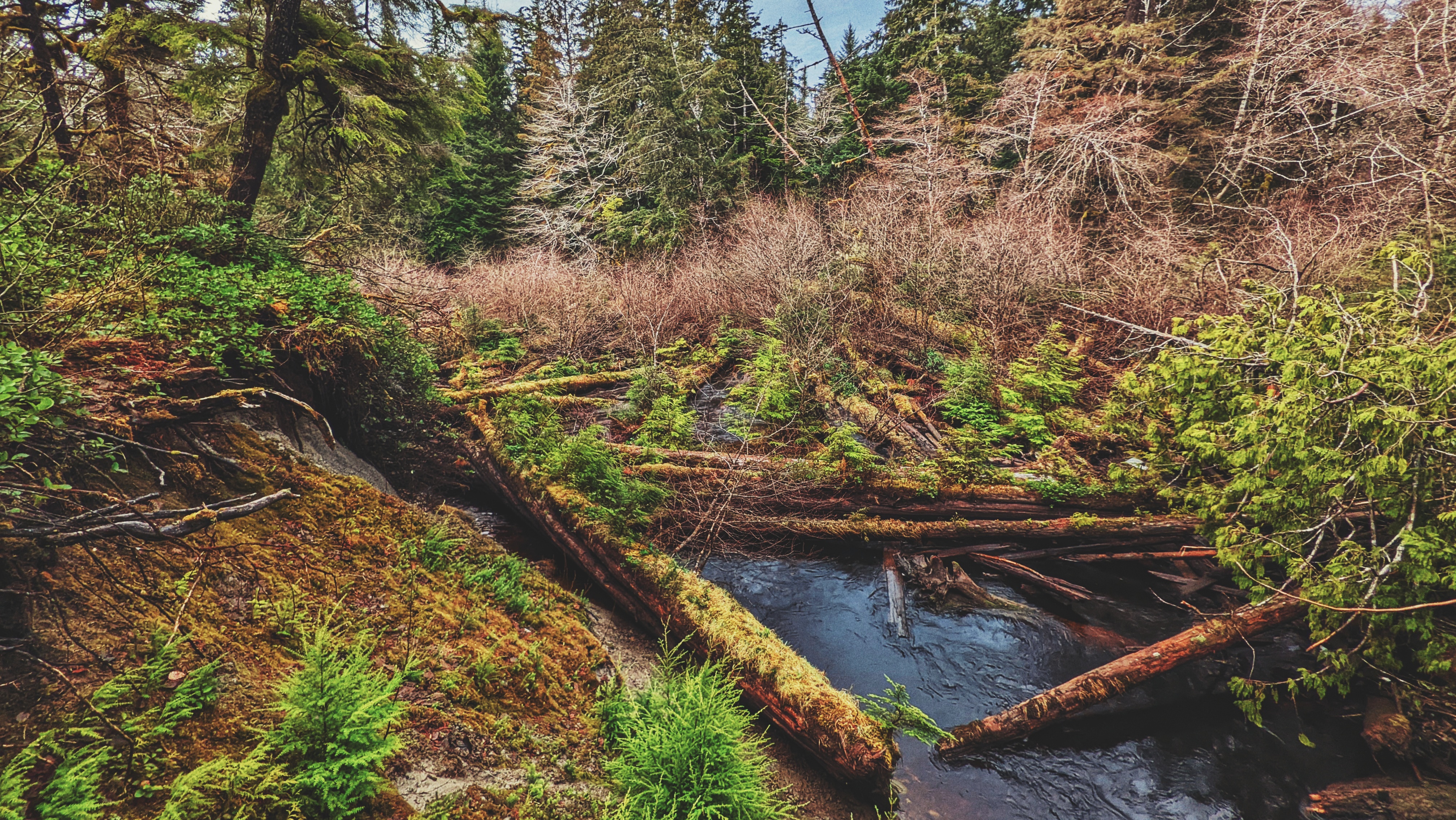
Boulton Lake Trail aerial view of the whole hidden lake
Boulton Lake Trail boggy part
In summer, tread on lightly as the tiny sundews are out!
BOULTON LAKE TRAIL FEATURES: Bog environment Water activities
ABOUT
Boulton Lake Trail is located approximately 28 kilometres south of Masset and 14.6 kilometres north of Port Clements, along Highway 16. The trailhead is unmarked but is signified by a small dirt pullout directly across from hydro pole 330. The pullout has enough room for two small vehicles.
After you’ve parked your vehicle, you should be able to see the trailhead through some dense salal bushes. Once you’ve pushed through these, the trail opens up very briefly before becoming overgrown with tall, thick salal bushes again. You’ll be pushing blindly through these for a few moments before entering much shorter stands of salal and a few skinny bog cedars.
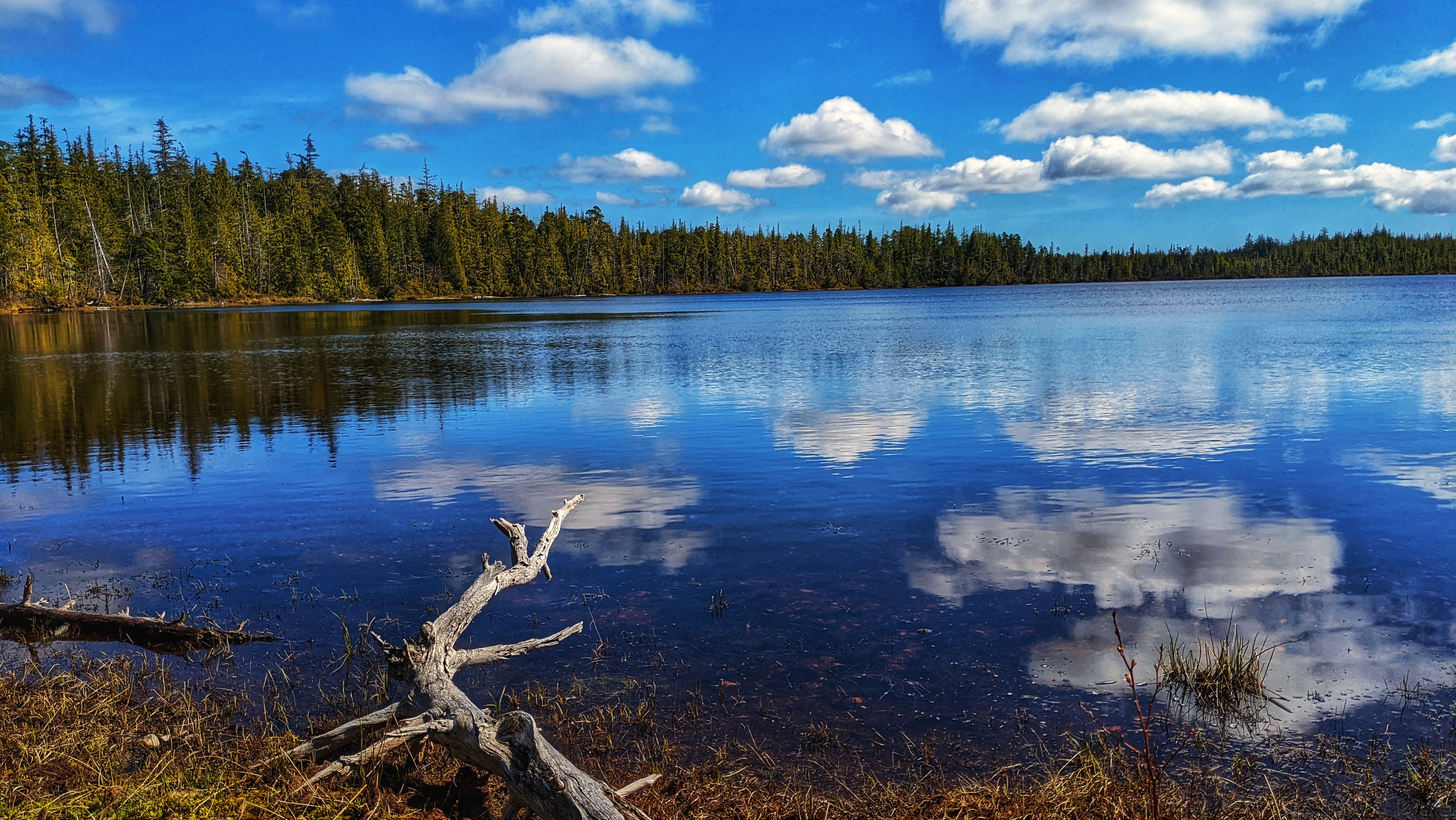
While you’ll no longer be blinded by tall salal, the trail remains overgrown, but the path is easy enough to follow. After about two minutes or so, you’ll come upon a very muddy/boggy section that’s often flooded. If you’re not wearing boots, try your best to step on the roots or deadfall to minimize getting wet feet. After you clear this obstacle, you’ll emerge onto the unique bog environment with its thick mosses and stunted trees. The impressive, but shallow, Boulton Lake is just steps away.
Because it only takes five minutes to walk this trail (one-way), it isn’t really used for recreational hiking; rather, the lake is multi-use: People have used Boulton Lake for kayaking and simply relaxing on the water. It’s also occasionally used for research. The Unarmoured Threespine Stickleback is endemic to this lake and has been subject to studies by the Federal Government.
If you’re here exploring the delicate bog environment or admiring the calm waters of Boulton, it can be tricky relocating the trail and finding your way back to the highway. A lot of the stunted trees look the same. Our pro tip? To head back towards the trailhead, line yourself up with the aluminum skiff resting at the edge of Boulton Lake. Walk towards the treeline from here – the boat is perfectly aligned with the unmarked trail.
Pure Lake Trail on summery skies reflect the heavens
The trail head or entrance to the short walk
Pure Lake Trail from above leading to the picnic tables to the lake
The aerial view of Pure Lake
PURE LAKE TRAIL FEATURES: Picnicking Swimming Family-friendly
ABOUT
Pure Lake Provincial Park was created in 1981 and covers approximately 142 hectares, completely encompassing Pure Lake within its boundaries. Located about 19 kilometres south of Masset and 25 kilometres north of Port Clements, along Highway 16, the park is popular with tourists and locals alike because it provides such easy access to a beautiful, calm and shallow lake.
You will see signage indicating the pullout to Pure Lake as you drive along Highway 16. There’s ample parking here for several vehicles. A single pit toilet is nearby.
To access Pure Lake Trail, you must hike a short trail of approximately 329 meters (one-way). It only takes about 3 minutes to reach the lake, but please note that sections of this trail can and do get quite muddy – especially after some rainfall. Once you reach the terminus point of the trail, you’ll come upon a small sandy beach and, of course, the lake. This is a popular day-use area for picnics and swimming. As such, you’ll find 5 picnic tables and 2 fire pits. Unfortunately, there is no formal trail system allowing further exploration of the lake. Thick underbrush and salal dominate the immediate landscape.
While Pure Lake is wildly popular during the warmer summer months, it is also a destination during the cold winters. Because the lake is so shallow, it’s not uncommon for it to completely freeze over. If conditions are right, you can walk right out onto the lake! Locals will typically visit Pure Lake during the winter to ice skate.
The Crab Trap Trail is a relatively new route in the Village of Daajing Giids. Created by Instagram user “theloamripper” over a period of 1.5 years, the trail officially opened in June 2020 with the posting of the official trailhead marker. We’d observed the signage when we first hiked the Gore Brook Trail near the end of 2020 but didn’t get around to hiking this route until now – nearly 3 years later. Curiosity – and the need for “new” trails – got the better of us!
GETTING TO THE TRAILHEAD
Locating the signed trailhead for Crab Trap Trail can be a little tricky because, much like the Scout Lake Trail, the trailhead marker for Crab Trap is actually located along another route. If you’d like to hike the Crab Trap, follow these steps:
1) Drive to the end of 2nd Avenue and park in the cul-de-sac.
2) You will see the trailhead marker for the Crabapple Creek route. To your RIGHT you will observe an unmarked trail (an early exit for Gore Brook Trail). Hike up this path for 200 meters.
3) After hiking for a couple of minutes, you will see the black Crab Trap trailhead marker to your LEFT. You are now at Crab Trap Trail!
THE ROUTE
Notwithstanding the trailhead sign, Crab Trap Trail is unmarked but the path is plainly obvious. Right out of the gate, the trail splits; however, don’t let this alarm you. It does not matter which path you take on the “Y” – they merge into one trail literally one minute into your hike.
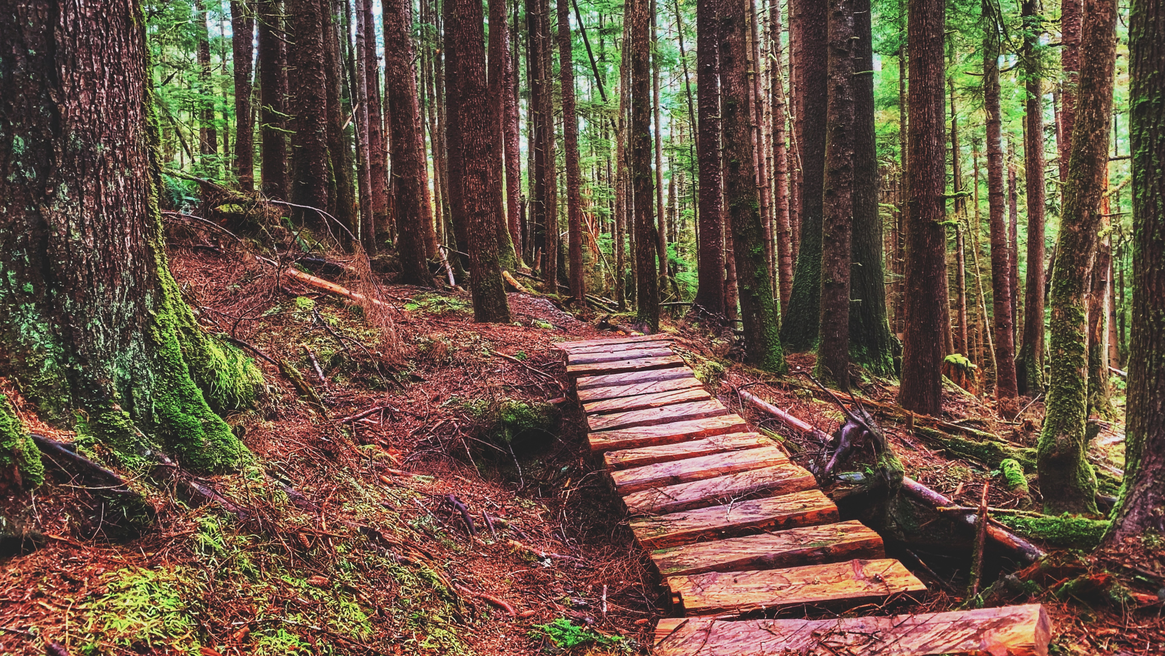
The path on the right is just a “shortcut” of sorts. A couple of minutes into your hike you’ll come across a bridge, which provides the first significant hint as to this trail’s primary purpose: Crab Trap Trail is promoted as a mountain biking route – something highlighted on both “theloamripper’s” Instagram page and the TrailForks website.
Indeed, evidence of this abounds: There are a couple of small jumps, including a “gap” jump; steep descents meant for bikers to get a bit of air time; and, there’s even a berm near the end of the route! Beyond the mountain biking structures in place, the obvious tire tracks in the mud also give it away!
While Crab Trap was designed to function as a mountain biking trail, it is also a wonderful hiking trail. Clocking in at a brisk 1.2 kilometres one-way, the route takes you through a beautiful forest of spruce, hemlock and lush ferns.
At about the mid-way point, the trail drops steeply for a moment. This was likely done to benefit those on mountain bikes, but it can be a little tricky navigating on foot due to mud. Once down the steep embankment, however, you will see orange arrows and another trail – that’s because Crab Trap actually intersects the old Crabapple Trail route at this point. You can follow it if you like, but if you wish to finish the Crab Trap, continue your gradual descent down the unmarked but obvious trail.
Hike another 10 minutes and you’ll eventually link up to the main Crabapple Trail, as signified by the giant tire. At this juncture, the “Crab Trap Trail” – as marked on TrailForks – essentially turns into the Crabapple Trail. Follow the marked route to your RIGHT, pass by the Dempsey Collinson Memorial Trail and end your adventure at the old M&B site.
From here, you can do one of 3 things: 1) Turn around and go back the way you came; 2) Follow the primary Crabapple Creek Trail route (denoted by white markers) back to Second Avenue; or, 3) Walk back along the road.
CRABAPPLE CREEK TRAIL FEATURES: Evidence of early logging Fish-bearing creek
ABOUT
Crabapple Creek Trail is another of the Daajing Giids’ “community trails.” It is approximately 1 kilometre in length (one-way) and is, in our view, one of the easiest of the local trails, only behind the Tarundl loops at Kagan Bay. Unlike a lot of trails on Haida Gwaii, Crabapple Creek is clearly denoted with formal trailhead markers and is, therefore, easy to find.
You may access the Crabapple Creek trail in two locations: 1) The west end of 2nd Avenue at the cul-de-sac; and, 2) At the old M&B site, near the start of the road to Rennell Sound.
As with most of the Daajing Giids community trails, the topography meanders between a mix of flat ground, occasional side hills and muddy sections all while passing through beautiful forest. For us, a key highlight of this trail included the lovely views one gets off the inlet about mid-way through the hike.
Peering through the trees at the landscape below – a mix of the natural and industrial – helps to provide one with a “refreshed” perspective of this place. Indeed, you could almost say it offers a space for deep contemplation thanks to the unintentional proximity to logging as represented by the old M&B structures at the trail’s eastern terminus point.
Of course, if philosophy isn’t really your thing, you can still enjoy this lovely short trail. The trees, lush ferns, fungus and angry squirrels give it much character. Sadly, though, you won’t actually encounter any crabapple trees on this hike.
In the village’s literature, Crabapple Creek is described as a loop trail, but this is incorrect. The trail is properly described as a “point-to-point” route because the start and end points are at least a kilometre apart. Thus, one may prefer to simply go back the way you came rather than, say, exit at the M&B site and walk along the road all the way back to 2nd Avenue.
Nevertheless, we found Crabapple Creek a most enjoyable trail to hike. It’s shorter than the nearby Gore Brook, but it’s also less strenuous. In addition, the unique juxtaposition of logging with the natural world makes for some fun discussion.
The total hike time was a quick 15 minutes one-way along the marked primary route, which is denoted by white diamonds.
Please note that Crabapple Creek offers two hiking routes. If you start your trek at 2nd Avenue, you will come to a fork in the trail about a minute in. Going LEFT will take you along the formally marked and maintained route promoted by the village; however, if you choose to go RIGHT, you will be treated to a longer hike – and one that actually takes you along Crabapple Creek for much of the route.
There’s a little more in terms of elevation gain, but the lovely cascade of the creek + small waterfall make it worth the added effort. We suspect this was the original trail – you can still see the odd “red arrow” markers along the way. This route, while longer, still connects to the main trail at the “big tire.” The total hike time for this alternate hike is about 45 minutes one-way.
Be advised that the Crabapple Creek Trail connects and links with other trails in the area, including the still-being-developed Dempsey Collinson Memorial Trail, Gore Brook Trail, and the informal Backyard Trail system.
DIFFICULTY: Easy TOTAL DISTANCE: 2 kilometres (return, depending on the route taken) TIME: 30 minutes to 1.5 hours (return) TYPE: Point-to-Point ELEVATION GAIN: 40 meters
FEATURES: Massive sitka spruce, CMTs, Old growth forest, Legacy Pole
DIFFICULTY: Moderate
DISTANCE: 1.2 kilometres one-way
Time: 40 minutesone way
Route Type: Point-to-point
Elevation Gain: Minimal
Community: Gwaii Haanas
GPS Coordinates:52.691971, -131.453913
SUMMARY
A guided forest hike in Hlk’yah G̱awG̱a (Windy Bay) that leads to an 800–900‑year‑old Sitka spruce, culturally modified trees, and the Legacy Pole—one of Haida Gwaii’s most meaningful cultural and historical trail experiences.
Four Corners Trail showing the obvious old wagon road
The big sitka spruce trees dot the trail, some of them growling in the wind blow
One can see the man-made ditches along the old wagon trail
The trail logically ends on Swan Creek although one can be adventurous and cross the natural log bridge
FOUR CORNERS TRAILS Naikoon Provincial Park Early Settler history
ABOUT
Four Corners Trail is located immediately east of the Hiellen River Bridge in Naikoon Provincial Park. The route is a settler wagon road, established initially circa 1910, to access parcels of land further inland. To access this trail, begin at the Cape Fife Trailhead and follow that route for approximately 5 minutes.
You will come upon an information board detailing the Cape Fife route. A marker to your left will signify the continuance of the 10 km-long Cape Fife trail. If you look to your RIGHT, you will see an unmarked but obvious trail – this is the beginning of the Four Corners route.
The full length of the Four Corners Trail is approximately 5 kilometres; however, today, only the first 2.5 kilometres or so can be safely hiked. Significant blowdown and overgrowth make walking the full route – eventually connecting with the more popular White Creek Trail and Carr-Whittle routes – hazardous. The first part of the trail, however, makes for a pleasantly short hike.
The old settler wagon road is now fringed with tall trees and thick mosses, giving an almost otherworldly appearance. Some massive cedar trees line the route, their low-hanging branches reminiscent of a scene from Sleepy Hollow! As we hiked the trail, we kept an eye out for previous human habitation.
Unfortunately, besides the old wagon road, the only evidence of previous human development we saw was some old machinery near the start of Four Corners and the old drainage ditches, which were all dug with pick and spade. As you observe these scenes, it’s not difficult to imagine what life might’ve been like in the early 20th century, as settlers attempted to establish roots and carve new routes.
About mid-way along the hike-able portion of the trail, you’ll round a corner and enter an area we’ve dubbed “cedar alley” due to the significant number of large cedar trees that line this section of the route. Keep a close eye on these special trees because a few of them are CMTs – they were “culturally modified” by the Haida hundreds of years ago. It is a powerful reminder that you’re treading on ancient Haida territory.
You will eventually come upon Swan Creek, which is a tributary of the Hiellen River. Of note, in her important book, Queen Charlotte Islands Trail Hikes and Beach Walks (1978), Fern Henderson reported that the bridge over Swan Creek was “very precarious and may not be usable.” 45 years later the man-made bridge is all but gone.
As such, this is the logical end-point of the Four Corners route. We say “logical” because while it is possible to go beyond the creek using a narrow natural log bridge, this is ill-advised for those not steady on their feet!
If you wish to hike this trail, parking is available in the nearby Tow Hill parking lot. It is advisable to bring a compass and/or use an app like BRMB or AllTrails as this is an unmarked/unmaintained route that is quite overgrown.
One can go closer to the creek side with no problem
In the summer, the Piper Creek is more calmer
Some foraging delights in Piper Creek Trail
PIPER CREEK TRAIL FEATURES: Monumental trees Foraging
ABOUT
The Piper Creek Trail is located approximately 3 kilometres west of Sandspit, adjacent to the “Piper Creek” bridge, heading towards the Kwuna ferry line-up. There is no formal parking; however, there is enough space on the shoulder of Piper Creek Bridge for two small cars. The trailhead is indicated by a small white marker a few feet from the bridge.
While there is minor elevation gain, we would classify Piper Creek Trail as easy. The route is mostly flat and well-marked for its duration. The trail, which winds through a mix of alder, spruce and cedar, basically follows Piper Creek upstream for about a kilometre before terminating at a small ravine adjacent to the creek. The dense forest part of the trail heading to the creek access is a relaxing experience and it is encouraged to take the time to savour forest walking.
Indeed, the trail is short, but it also connects to other routes like Around the Pond and Onward Point, making for a more robust hike. The connecting trail towards Onward Point, notably, takes you through a stand of monumental cedar trees sure to delight the tree-lover in all of us.
Along with being a relatively popular hiking trail, Piper Creek is also used for local foraging. The outstanding Raincoast Breads, for example, will come here and forage, Woodruff, Oyster mushrooms and even “aromatic” stones. We’ve also witnessed some large “Chicken of the Woods” growing near the entrance of this route.
Note: There is also a short trail directly across Highway 16, opposite the Piper Creek trailhead. Just look out for blue flagging tape. This brief route, which clocks in at about 250 meters one-way, takes you to the mouth of Piper Creek, through the trees and down to the beach.
The lighting of the afternoon setting sun creates a magical forest scenery
One of the plank “bridges” on the muddy parts of the trail
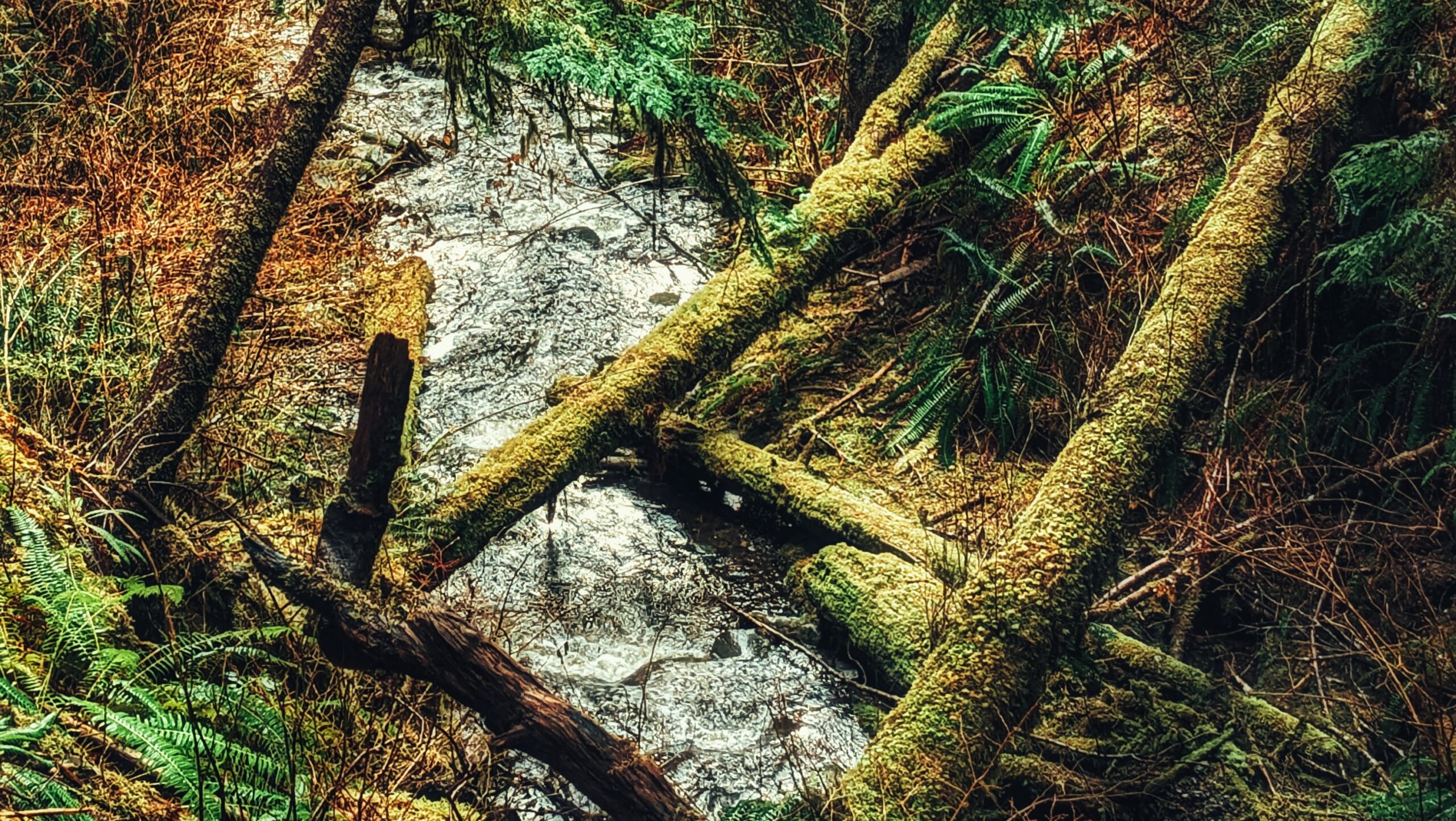
The Gore Brook on the trail
20 minutes into the Gore Brook Trail, you can find this waterfall
The dense trees in the trail plays good light to relax on the trail
Winter scene in the trail
At some point in the trail, carefully placed sea shell markers can be observed
Gore Brook spilling into the Daajing Giids ocean waters
Illuminated parts of the forest
In summer, most of the trail looks “greener”
GORE BROOK TRAIL FEATURES: Forest therapy School project
ABOUT
The Gore Brook Trail is one of 5 “community trails” in the Village of Daajing Giids. Unlike most trails on Haida Gwaii, Gore Brook actually has formal trailhead signage and is, therefore, easy to find. It has two main entry points: The first is at the top of 8th Street (north of the high school).
Once you reach the top of 8th, turn right and you should see the trailhead marker adjacent to a small side road. The second point of entry is on the 2nd avenue (above the municipal office), along the Village’s western end.
In terms of the community trails, Gore Brook is one of the better ones. First, it brings you marvellous examples of old-growth and second-growth forests. Second, the lush flora of the trail – and especially the vibrant mosses, ferns and other plant life – really highlights the fact that you’re hiking through a dynamic rainforest ecosystem unlike any other in the world. Third, if you enter Gore Brook at the 2nd Avenue entrance, you can gain quick access to a nice little waterfall – dubbed the Gore Brook Falls – approximately 20 minutes in. Fourth, the trail also provides hints of one of Haida Gwaii’s major historic industries: Logging. At a few points along the trail, those with a keen eye will notice some evidence of springboard logging.
While the trail is only about 1.6 kilometres long, it takes roughly an hour and a half to complete the full point-to-point route. The trail is quite rough and muddy in a lot of places. Additionally, there’s a significant amount of deadfall along the trail + root systems and a couple of creek crossings. As such, we’d strongly recommend the use of good boots so as to avoid getting your feet wet or muddy.
The trail is denoted in quite a unique way: With scallop shells! Follow them and you shouldn’t get lost. It’s kind of like following the breadcrumbs through the forest. But if following scallop shells isn’t your thing, don’t worry – white “diamond” markers also denote the main route.
Finally, it should be noted that Gore Brook connects with, and intersects, the village’s informal “backyard” trail system. These are a series of rough trails that are usually sans markers and can lead you astray if you’re not paying attention.
With Gore Brook, we don’t think getting lost is much of a problem since it’s pretty easy to follow the scallop shells and white markers. If entering Gore Brook from 2nd Avenue, however, you will come upon a fork in the trail system approximately 15 minutes into your hike.
If you continue to the RIGHT, you’ll stay on Gore Brook (and eventually come upon Gore Brook Falls). If you go LEFT, you’ll follow a backyard trail – which does have markers in this case – and will eventually exit onto the cul de sac at the end of Second Avenue, connecting with both Crabapple Creek Trail and the Crab Trap Trail.
While somewhat difficult, the Gore Brook Trail is a rewarding hike. The old growth, burls, abundant ferns, dynamic creek, and vibrant green mosses provide inspiration and energy. The local high school students, who played a key role in developing this trail in the late 1990s, did an excellent job.
In the current day, students – from high school and post-secondary – will occasionally use this trail for ecosystem interpretive work. As such, Gore Brook is as much a recreational hiking trail as it is a valuable learning opportunity.
Spirit Trail can have some decent log jam along its creeks
One of the lakes in the trails loops
The jam logs make way for the water from the lakes
Beautiful shrubs and big trees dot the sides of the trails
Spirit Lake Trail boasts of Dogwood flowers in summer
The main bridges one goes on the trail
The bridges and walkways on the trail makes it a favourite to locals
One of the CMT sample along Spirit Lake Trail
Frozen Spirit Lake Trail
Aerial shot of the Spirit Lake Trail
SPIRIT LAKE TRAIL FEATURES Culturally Modified Trees Haida history Interpretive hike
ABOUT
Spirit Lake Trail (GuuhlGa Siiwaay K’yuu) is located in Skidegate, just off Highway 16 and behind the George Brown Recreation Centre – clearly marked with a carved Wasco at the trail’s head. A smaller totem also sits close to the trail’s entrance, near the pit toilet.
Popular with tourists and locals alike, this well-maintained easy hike offers the curious a portal through which to view Haida Gwaii’s natural beauty: The carpeted moss floor; the meandering creeks; beautiful cedar and spruce trees; culturally modified trees (CMTs); a plethora of eagles and woodpeckers; wild blueberries and mushrooms; the large Haida Gwaii black bear; and, of course, Spirit Lake itself. Each of these elements complements the overall setting and lends a picture of serenity.
Whether one chooses the longer forest walk or Spirit Lake loop, one cannot help but recognize and acknowledge the inherent spirituality of the trail and its namesake lake. The presence of CMTs and culturally significant plants like Devil’s Club help to reinforce the fact that the Haida have used – and continue to utilize – this area since time immemorial.
In that regard, you know that you share the trail not just with the physical bodies you encounter, but those you do not see as well. The quietness and calm of the lake have much to say if we choose to listen and attune ourselves to its message.
The trail is not physically demanding and allows you to experience some of the best that Haida Gwaii has to offer. Free walking tours by Gaajiiaawa are also available during the summer, providing a fuller picture and appreciation of the trail and its significance. Depending on the route you choose, the total time spent here ranges from 1 to 2 hours.
In 2021 and 2022, GuuhlGa Siiwaay K’yuu underwent trail maintenance and received important Upgrades: The compacted gravel walkway was significantly redone; 20 new boardwalks were installed, replacing aging infrastructure, and recent posts for future interpretive signage were installed. One of the new boardwalks now extends out into the lake, giving hikers better and safer access to this particular body of water.
DIFFICULTY: Easy TOTAL DISTANCE: 5.3 kilometers TIME: 1 to 2 hours TYPE: Out-and-Back ELEVATION GAIN: 60 meters
The Anvil Trail goes along some parts of the Tlell River
The carefully placed board walk makes it an easier hike
The hiking trail is evident on the ground
ANVIL TRAIL FEATURES: Log Jam Old growth forest Interpretive hike
ABOUT
The Anvil Trail, which is located in the Tlall Conservancy, is one of the more popular trails on Haida Gwaii and is the only maintained route originally developed by the Tlell Watershed Society (TWS). It follows a 5-kilometre interpretive route and takes you through second-growth forests, old-growth, riparian floodplains, and even some minor boggy sections.
Much of the trail follows the meandering Tlell River before re-entering the dense forest and returning you to Highway 16, approximately 100 meters from where you started your journey.
The Anvil Trail takes you through several different environments and therefore becomes a destination in itself. When we did the hike, we opted to go against the grain and started our journey approximately 100 meters south of the standard trail entrance, which is located directly across from the Mariners Point parking lot. Of course, the entrance you choose is entirely up to you as the Anvil is ultimately a big loop trail.
The initial part of the Anvil Trail – at both entrances – is a dense and cluttered forest, very reminiscent of scenes from the Blair Witch Project (1999); however, after about 30 minutes, the trail does open up to more typical re-growth and much nicer scenery. At the 40-minute mark, if you’ve started your journey via the south entrance (as we did), you will come upon signage advising you to “NOT HIKE DOWNSTREAM FROM THIS POINT.”
That’s because there are 3 separate paths in this area: The orange route, which takes you to the log jam; the blue route, which is a “shortcut” and brings you to the other side of the orange loop, back towards Highway 16; and an unsigned/unmarked trail, which follows the Tlell River for roughly 2.5km before reconnecting with the orange route.
The early portion of the unmaintained trail appears decent enough; however, it very quickly becomes overgrown and virtually impossible to follow. The lesson here? Stay on the marked and maintained route!
Not long after this potentially disorienting area, the trail gets rather grown in and dense with salal bushes and other shrubs. At times, it almost felt like we needed a weed whacker! The trail also gets very miry at this point, but recent maintenance in the form of wooden stepping blocks has made navigating this section much easier.
If you manage to power through, you’ll be rewarded with this trail’s major attraction – the log jam! It is quite a sight and extends for some 250 meters along the Tlell River.
According to the posted signage, the Great Fire of the 1840s contributed to the jam when many of the burnt and mangled trees fell into the river. There are some rough side trails here that allow you to get closer to the log jam, but we recommend viewing from up above.
From here on out, the trail loops back to Highway 16 and takes you through some lovely old-growth forest consisting of massive cedar and Sitka spruce trees.
While the hike is mostly uneventful at this point, you may still encounter a few areas where earlier storms have knocked over large trees and effectively blocked the trail, requiring some creative detours.
Once you reach the point known as the “Big Bend” (a few hours into your hike if entering from the south, or a mere 30 minutes if you began at the signed trailhead directly across from Mariners Point), you again come upon a confluence of trails.
The orange markers will take you to the log jam (or back to the Highway if you’re hiking FROM the log jam); the blue markers represent a “shortcut” to the opposite end of the Anvil Trail; and, you can also choose to walk EAST adjacent the Tlell River, along an unmarked and unmaintained trail.
This unmarked route is called the “Wiggins Road Trail” and, if you follow it for its full length – approximately 1.5km – you will eventually connect up to Wiggins Road. It’s a nice trail overall, but sections can be a little difficult to follow.
Overall, we’d say the Anvil Trail is worth the time and effort. The route is marked and the trail is nicely maintained for the most part. Furthermore, the interpretive signs throughout certainly enhance the experience and one’s appreciation of the Tlall Conservancy.
Oh, and if you’re wondering, “Why is it called Anvil Trail?” That’s because it follows a section of the Tlell River that, on the outline, resembles an anvil. How crazy is that?
Contains information related to marketing campaigns of the user. These are shared with Google AdWords / Google Ads when the Google Ads and Google Analytics accounts are linked together.
90 days
__utma
ID used to identify users and sessions
2 years after last activity
__utmt
Used to monitor number of Google Analytics server requests
10 minutes
__utmb
Used to distinguish new sessions and visits. This cookie is set when the GA.js javascript library is loaded and there is no existing __utmb cookie. The cookie is updated every time data is sent to the Google Analytics server.
30 minutes after last activity
__utmc
Used only with old Urchin versions of Google Analytics and not with GA.js. Was used to distinguish between new sessions and visits at the end of a session.
End of session (browser)
__utmz
Contains information about the traffic source or campaign that directed user to the website. The cookie is set when the GA.js javascript is loaded and updated when data is sent to the Google Anaytics server
6 months after last activity
__utmv
Contains custom information set by the web developer via the _setCustomVar method in Google Analytics. This cookie is updated every time new data is sent to the Google Analytics server.
2 years after last activity
__utmx
Used to determine whether a user is included in an A / B or Multivariate test.
18 months
_ga
ID used to identify users
2 years
_gali
Used by Google Analytics to determine which links on a page are being clicked
30 seconds
_ga_
ID used to identify users
2 years
_gid
ID used to identify users for 24 hours after last activity
24 hours
_gat
Used to monitor number of Google Analytics server requests when using Google Tag Manager