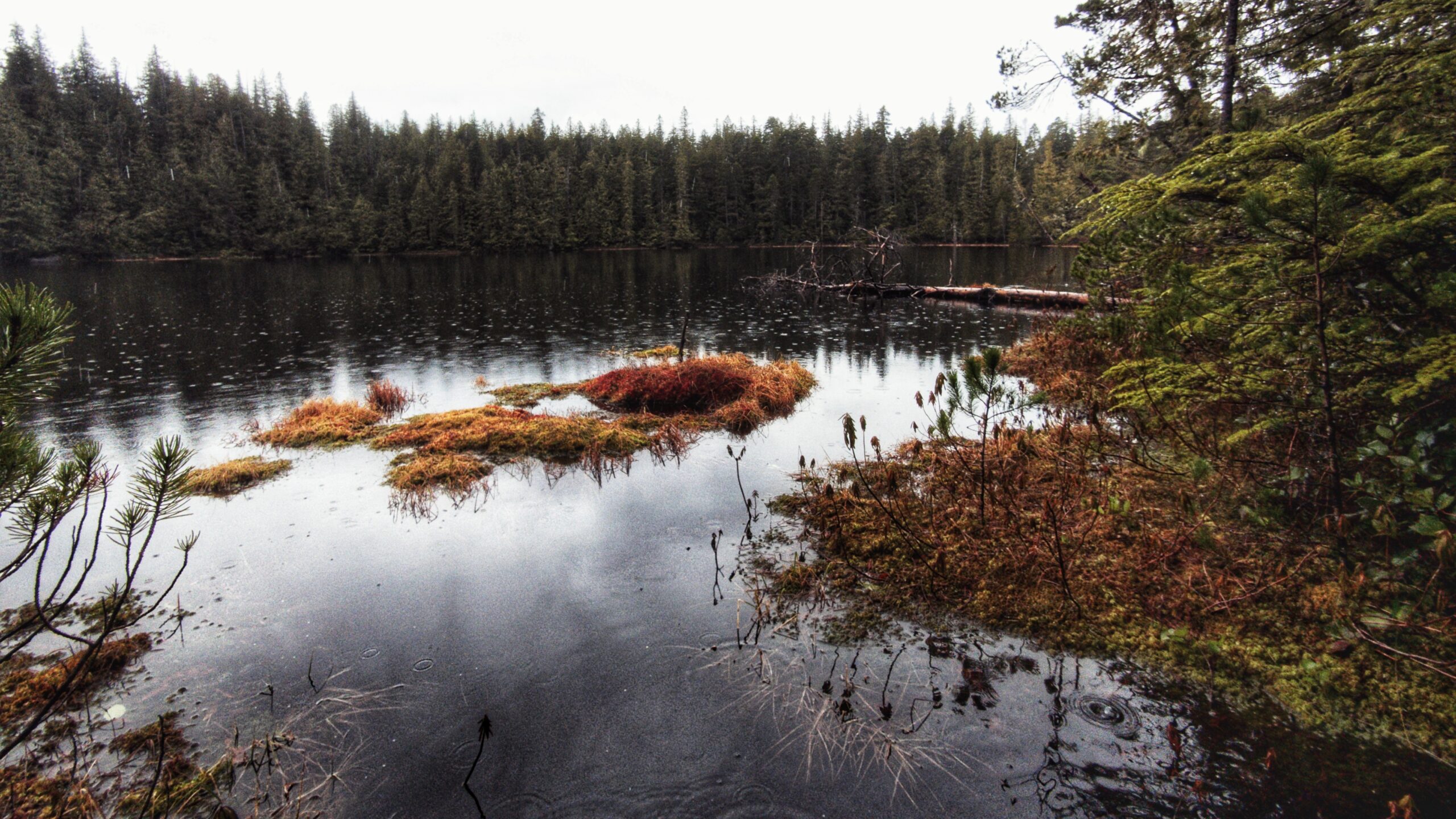
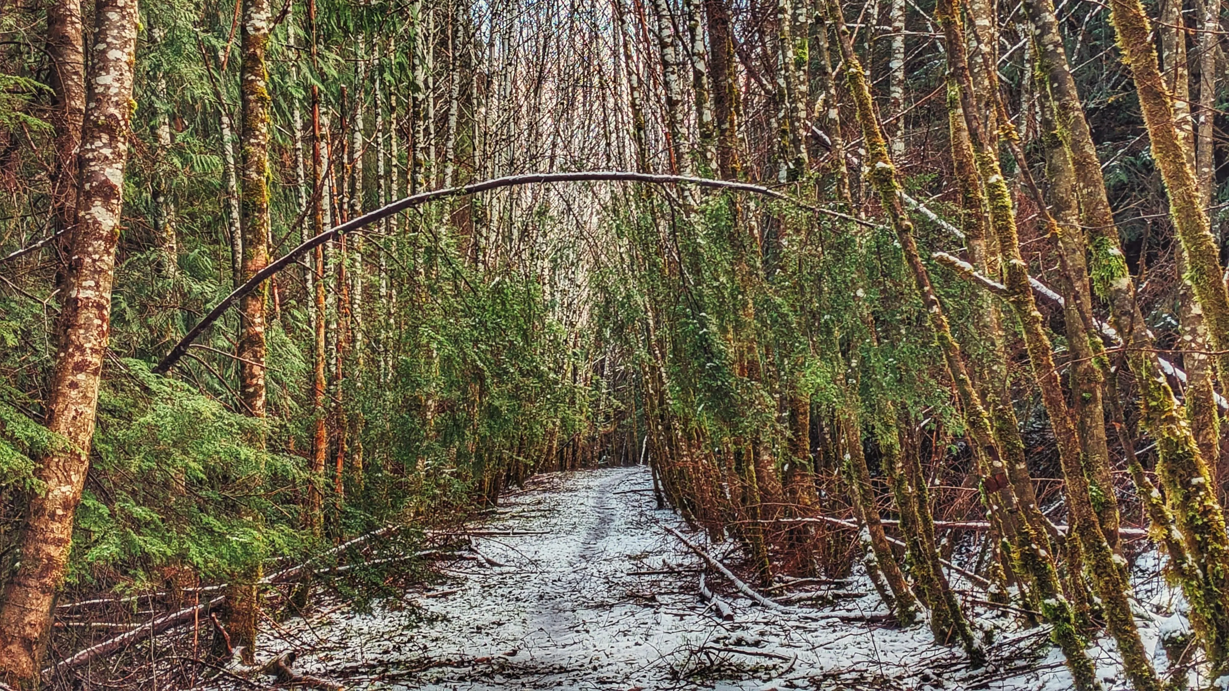
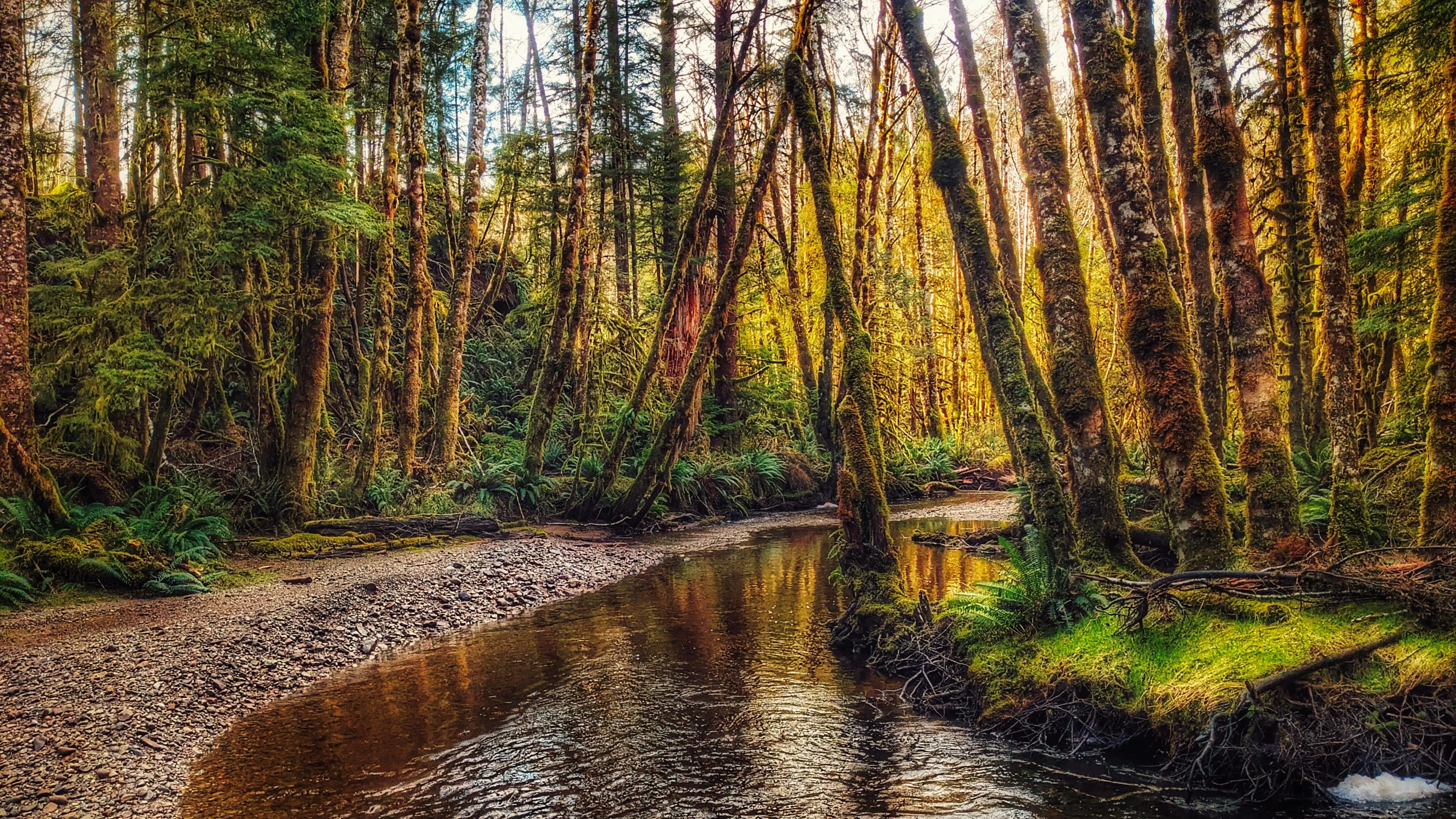
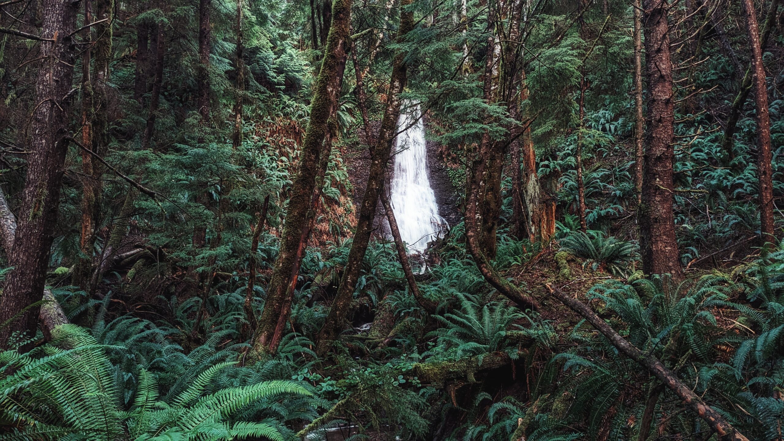
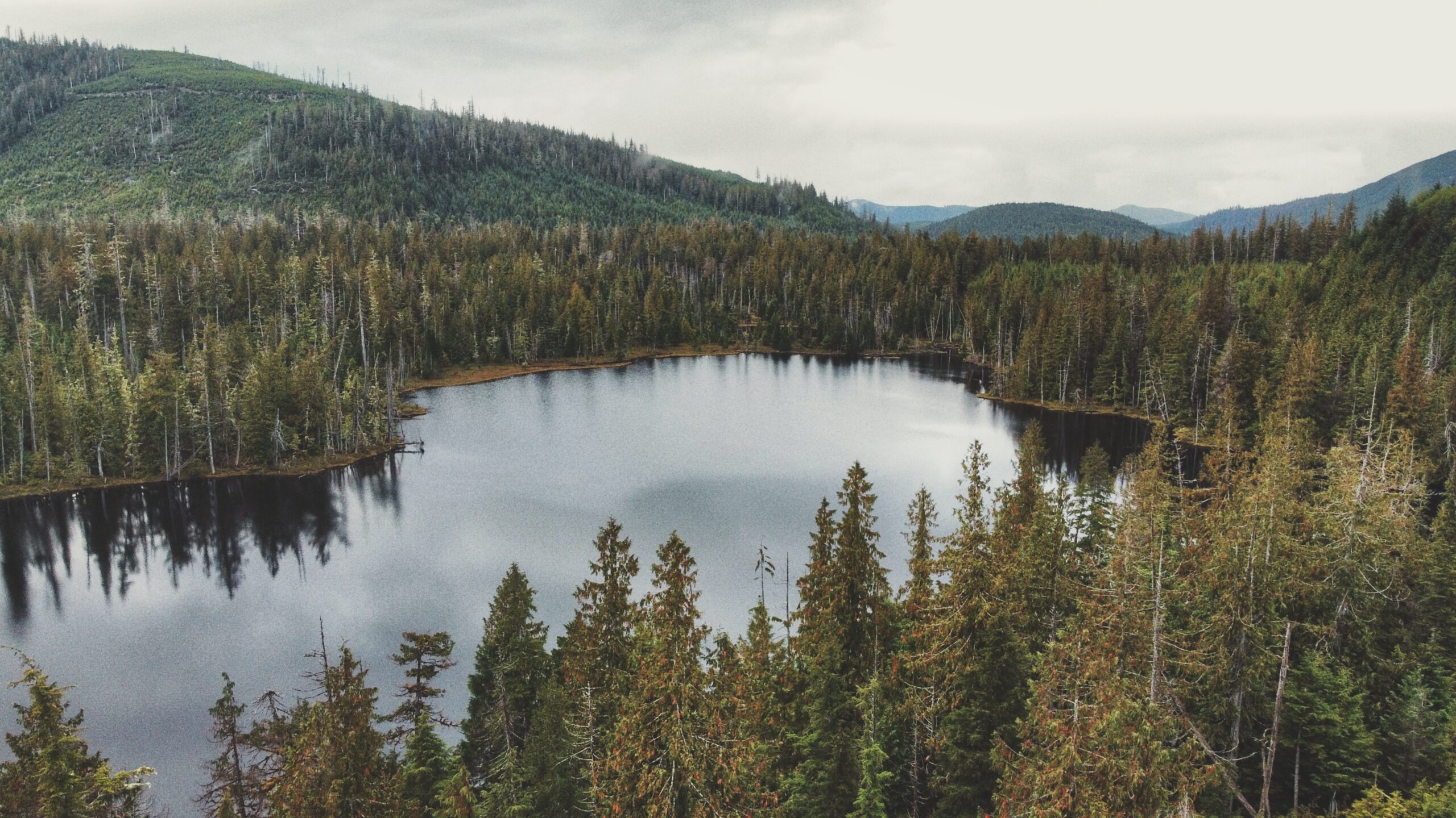
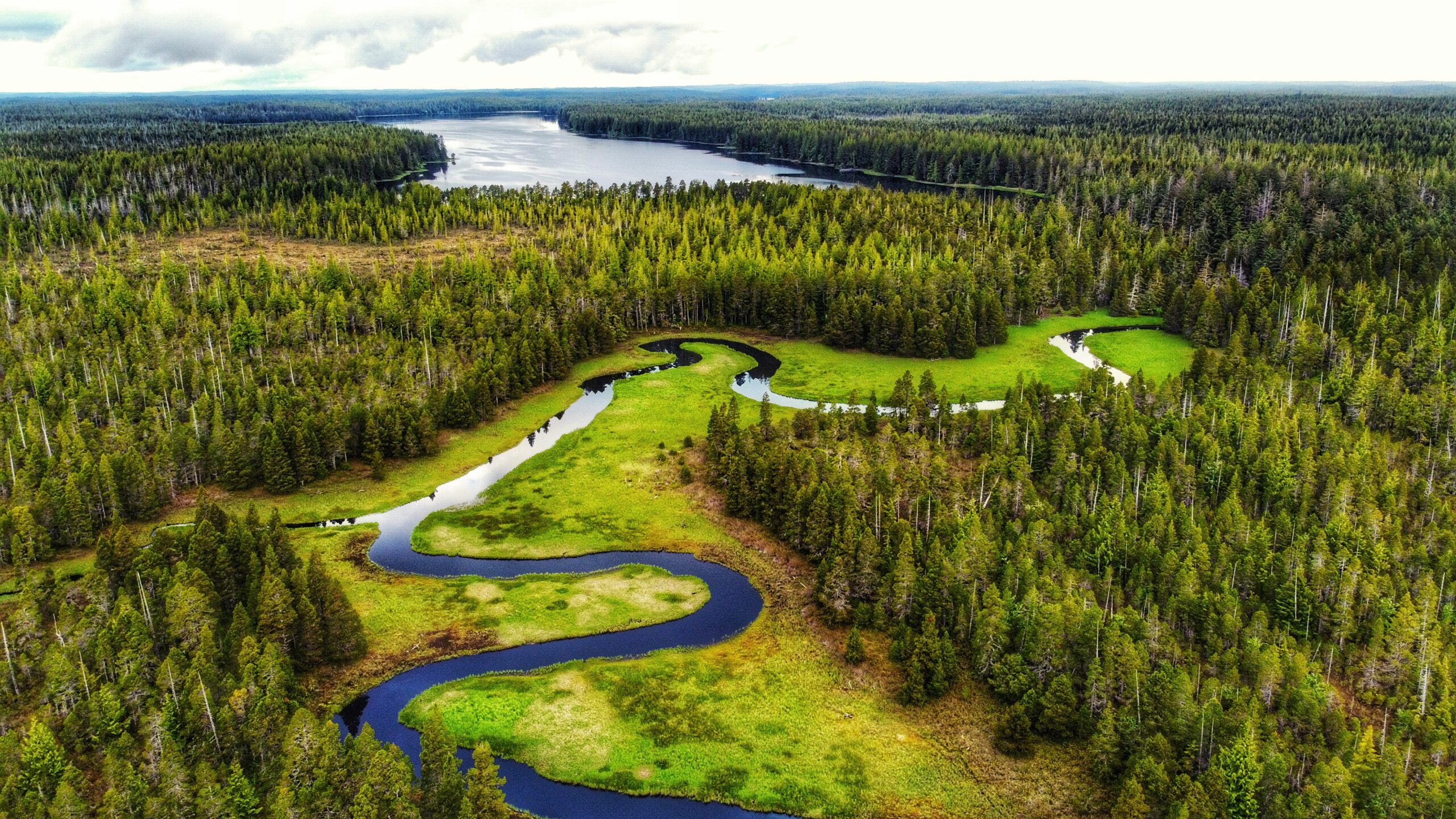
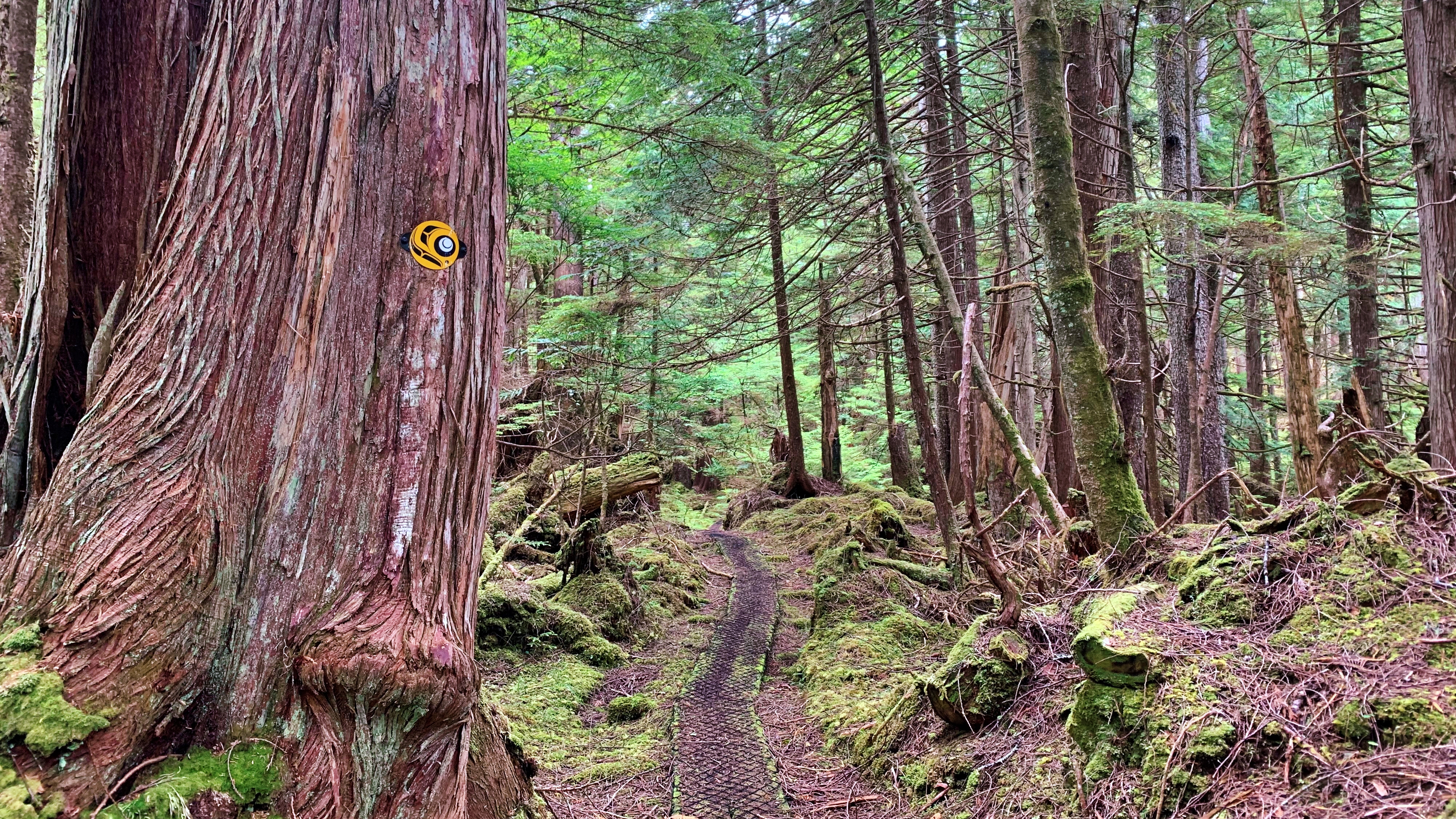
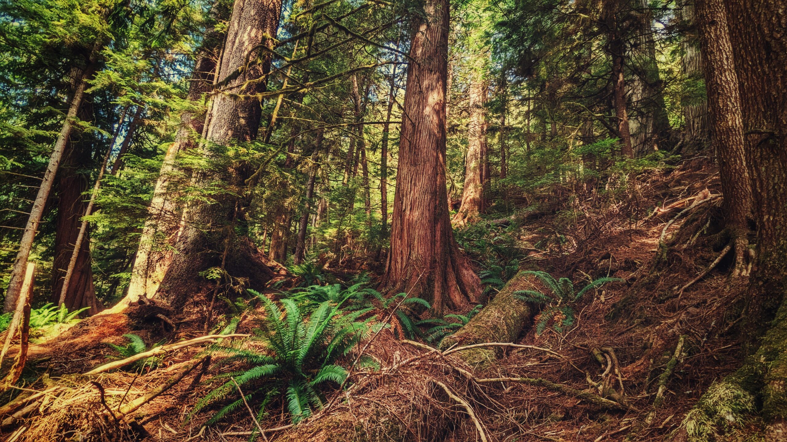
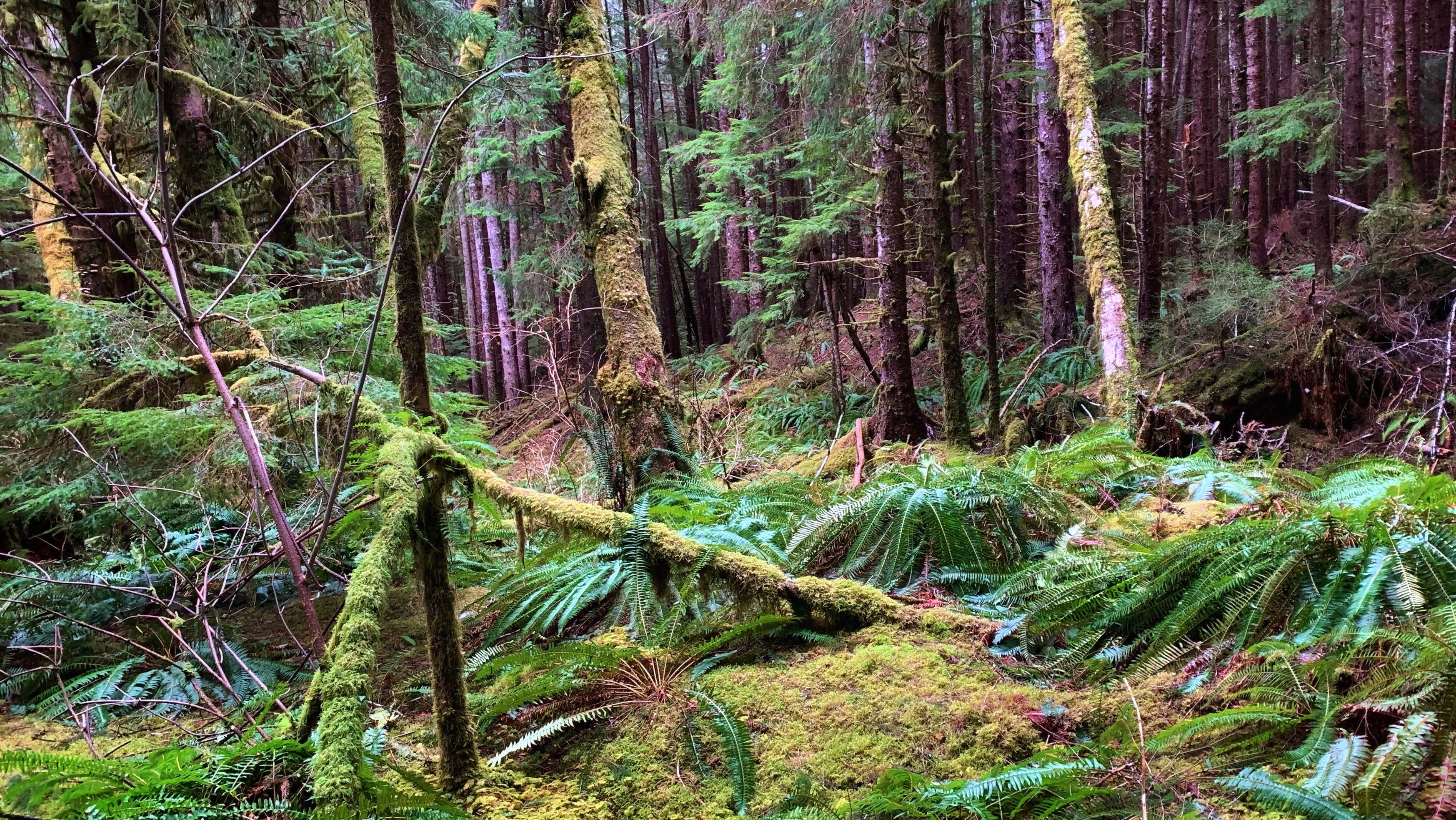
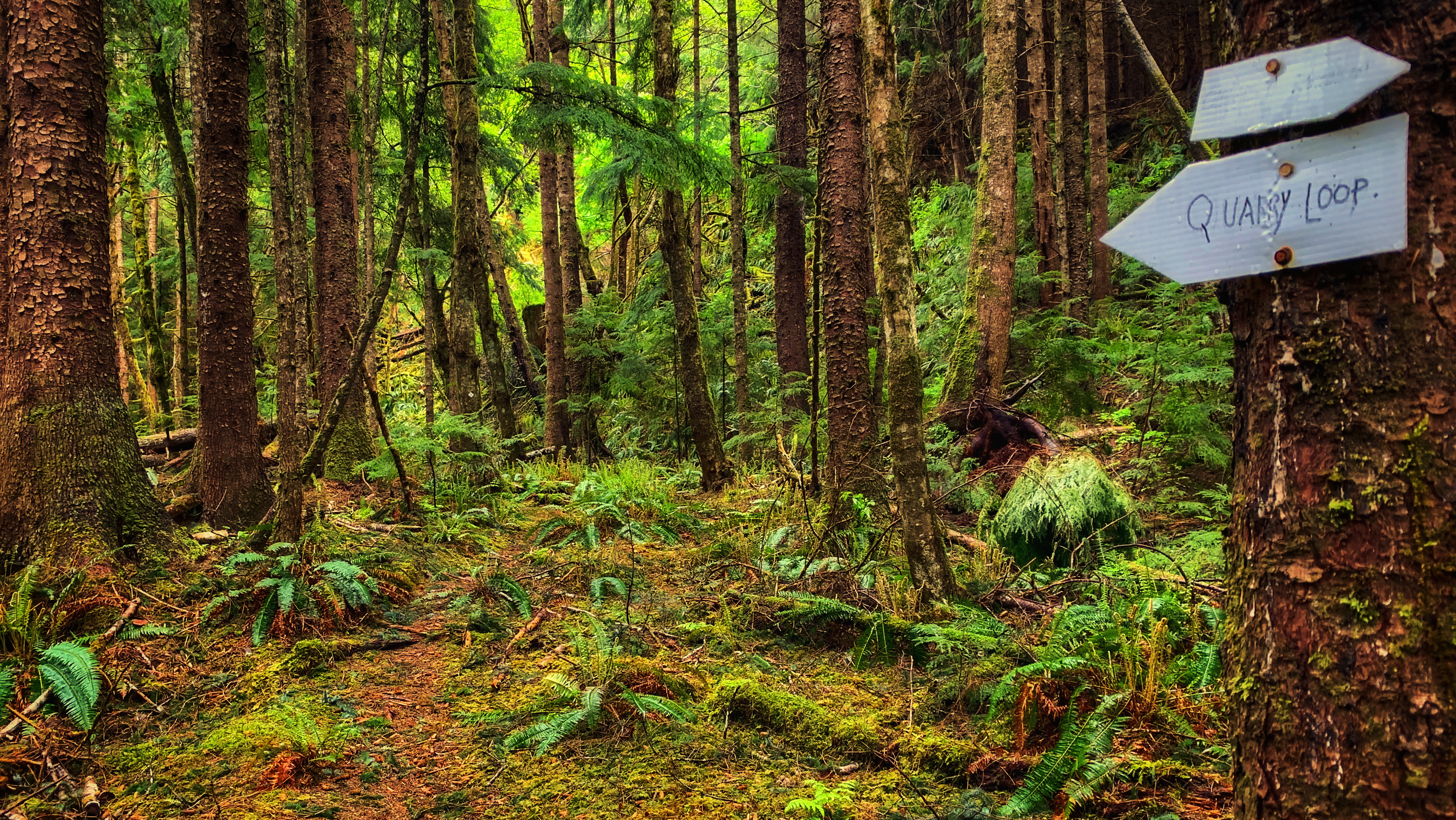
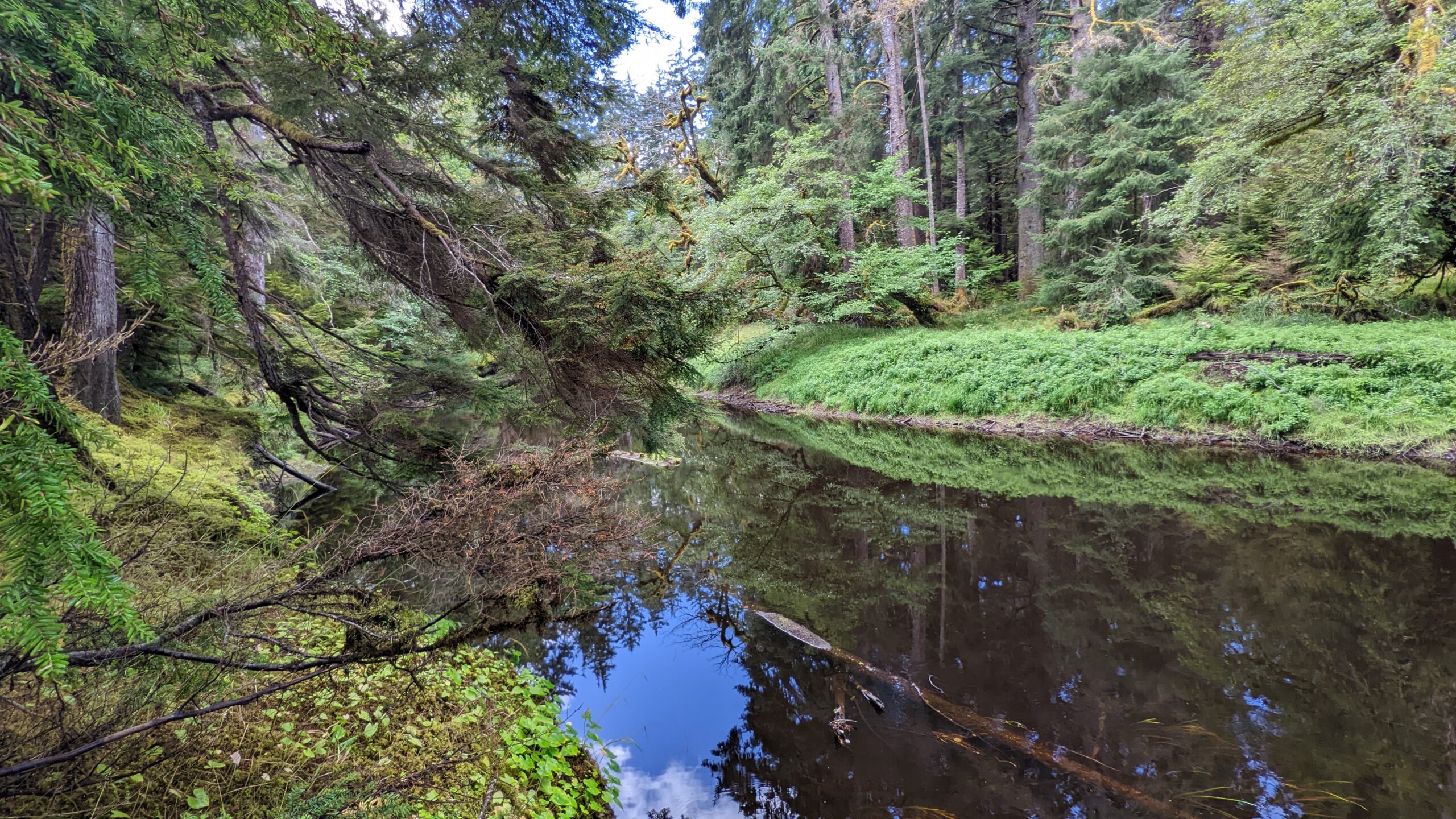
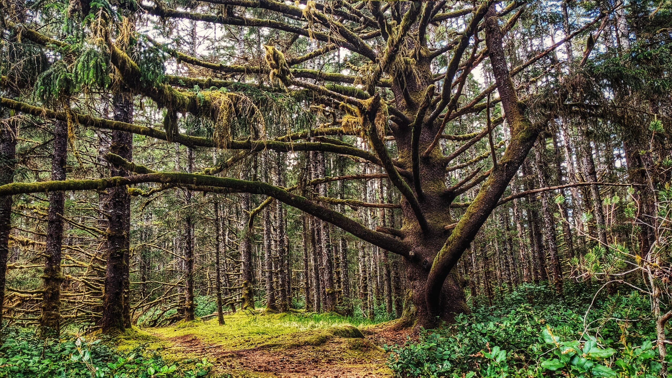
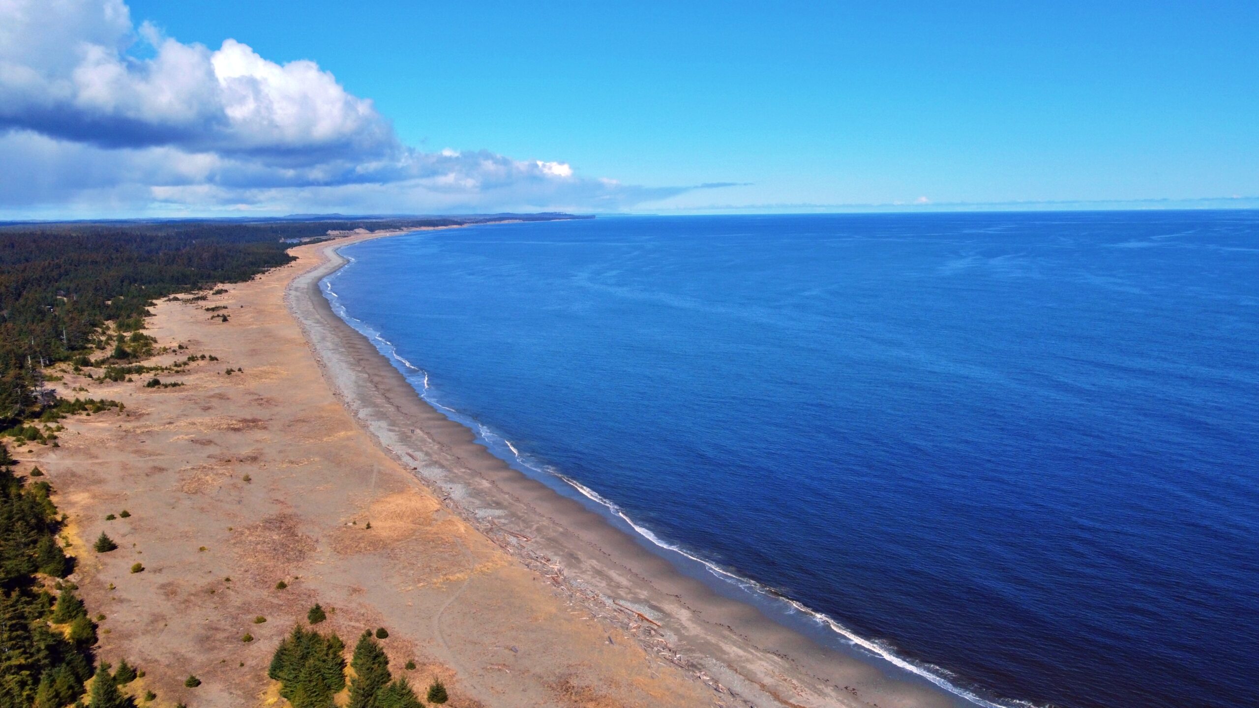
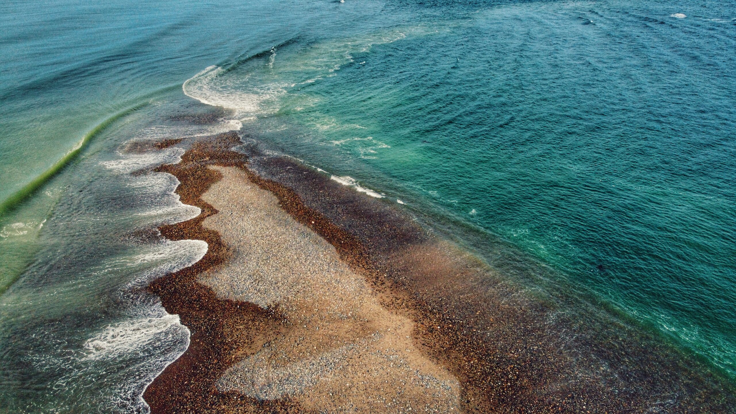
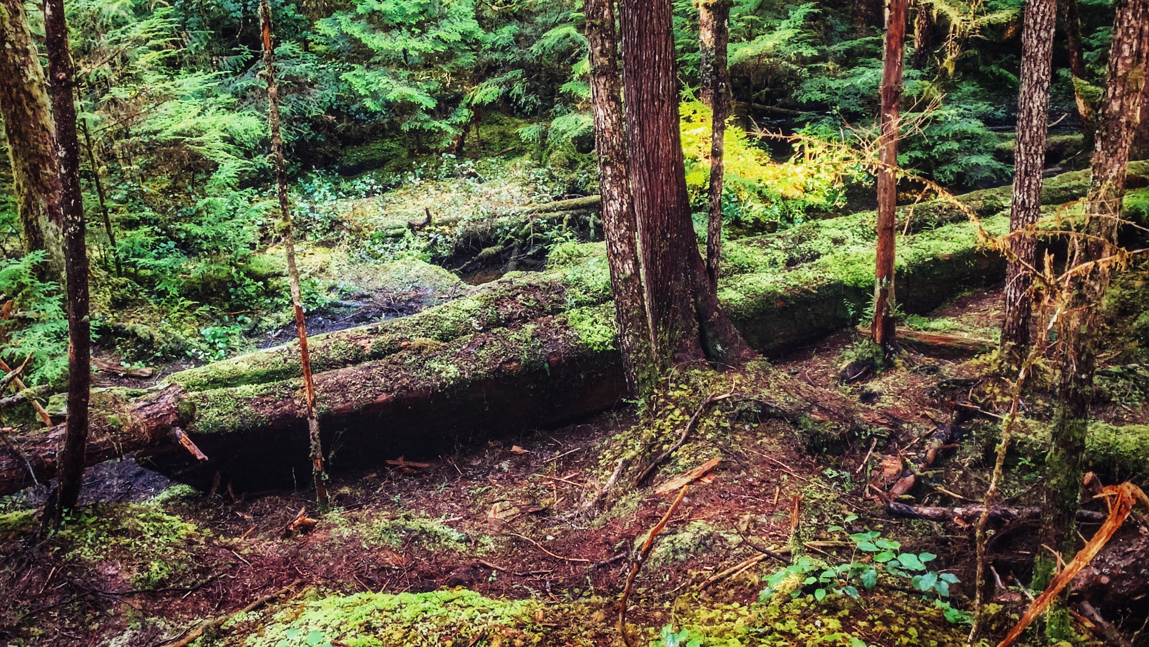
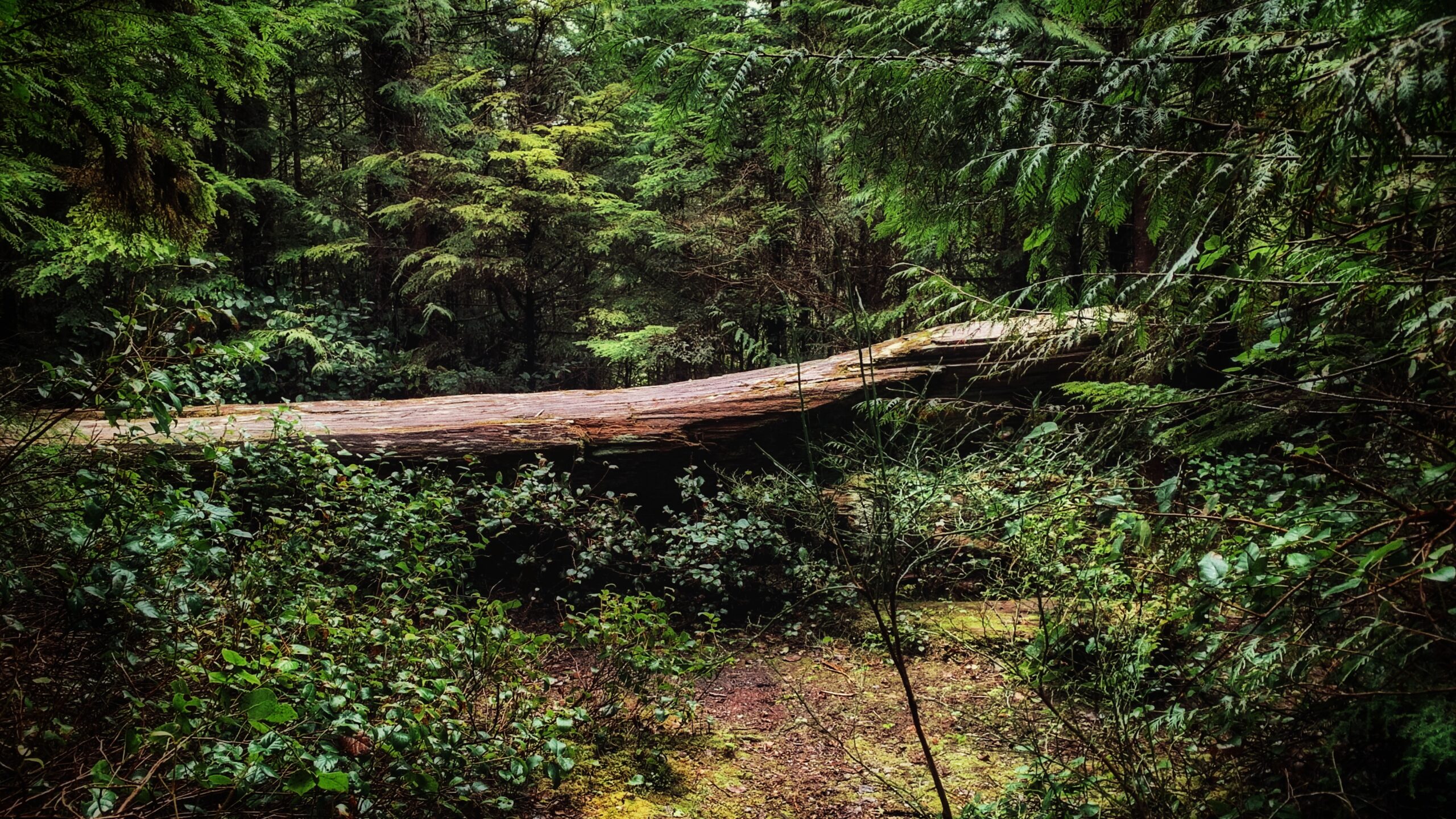
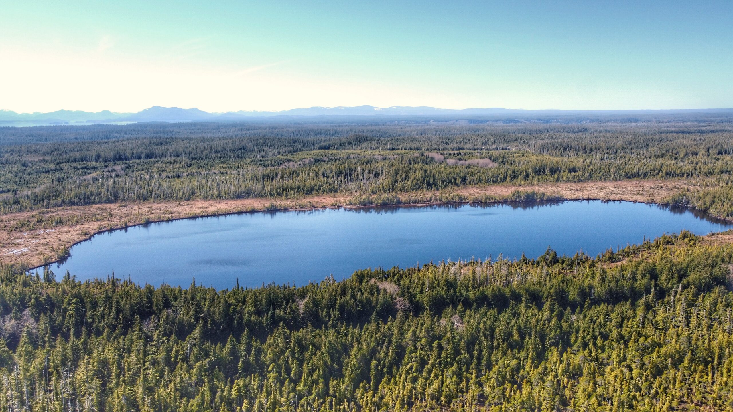
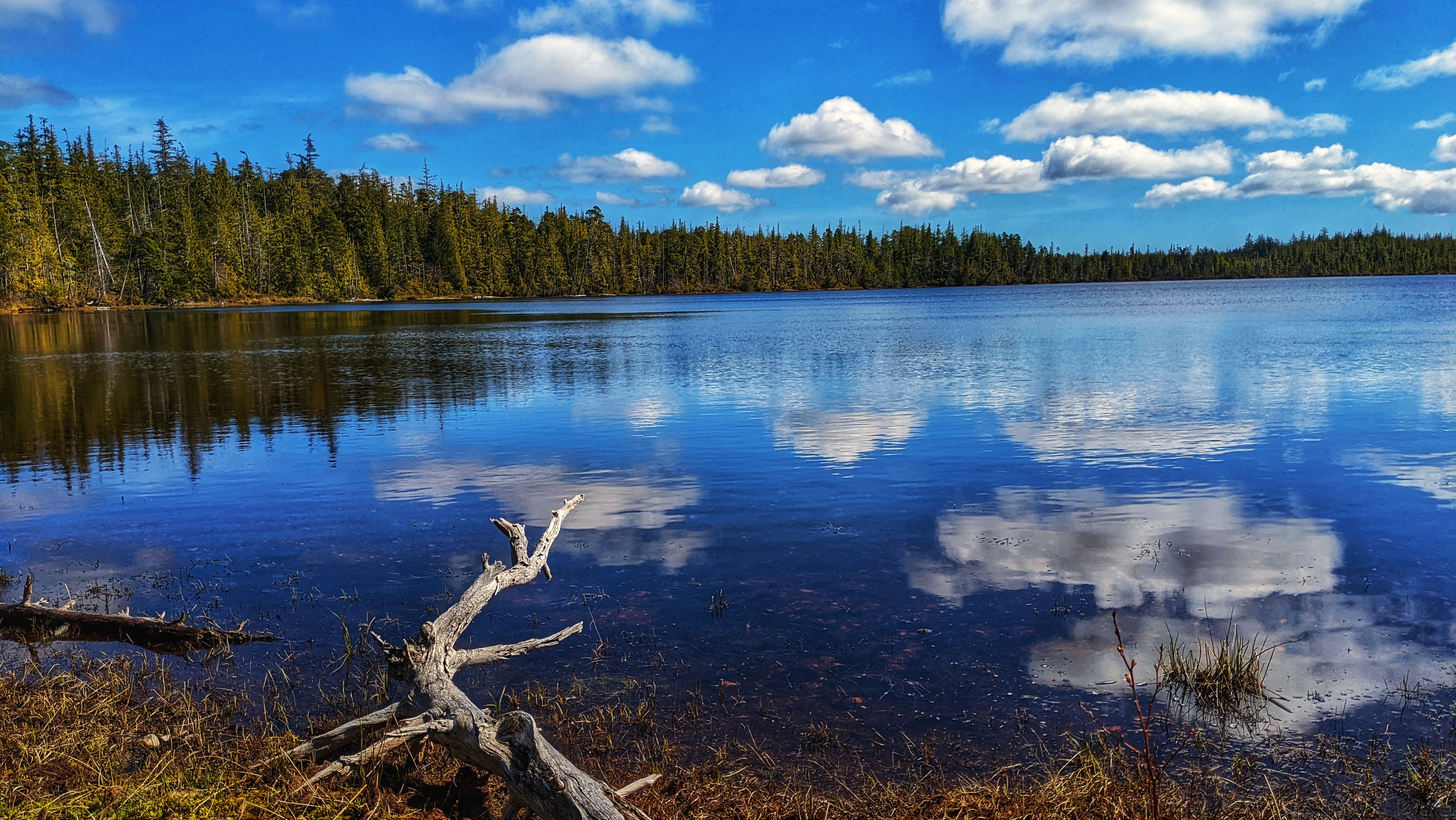
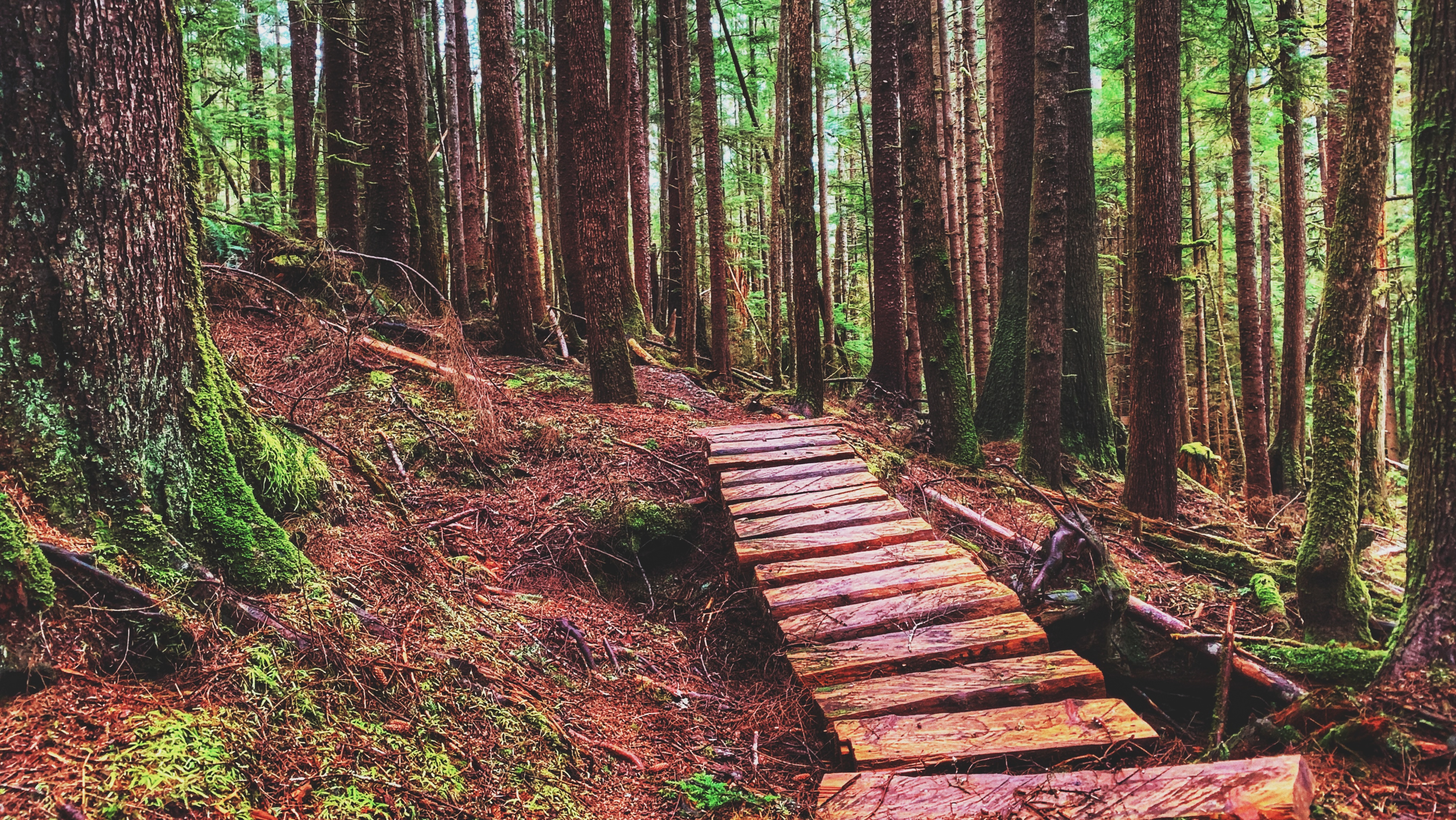
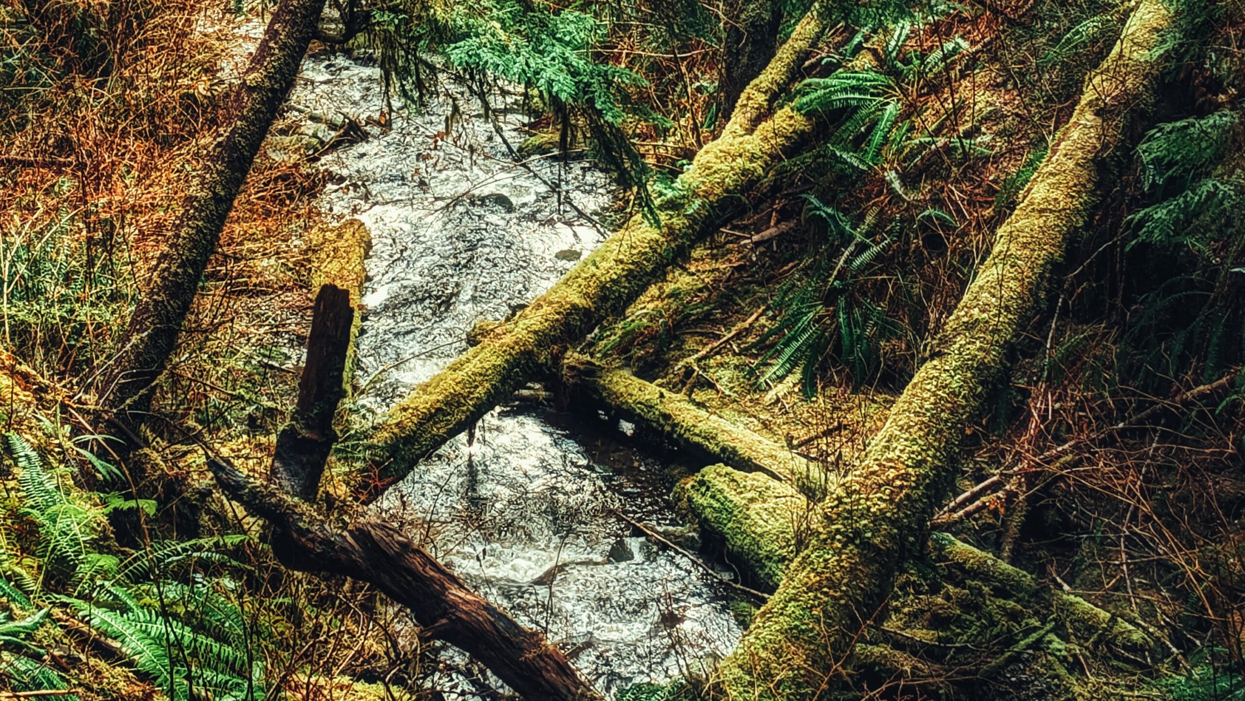
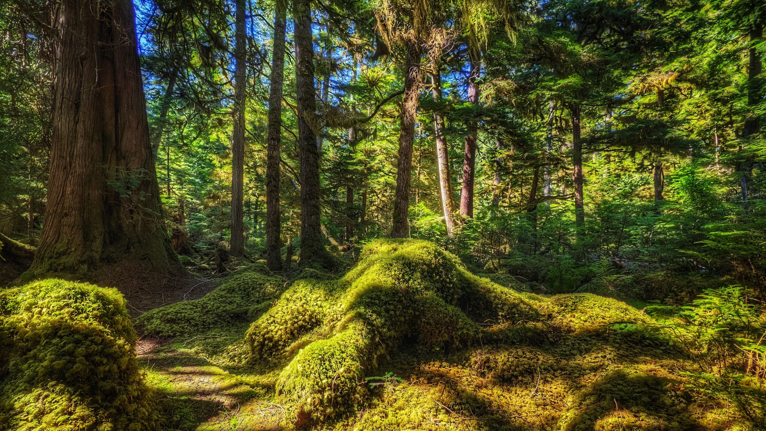
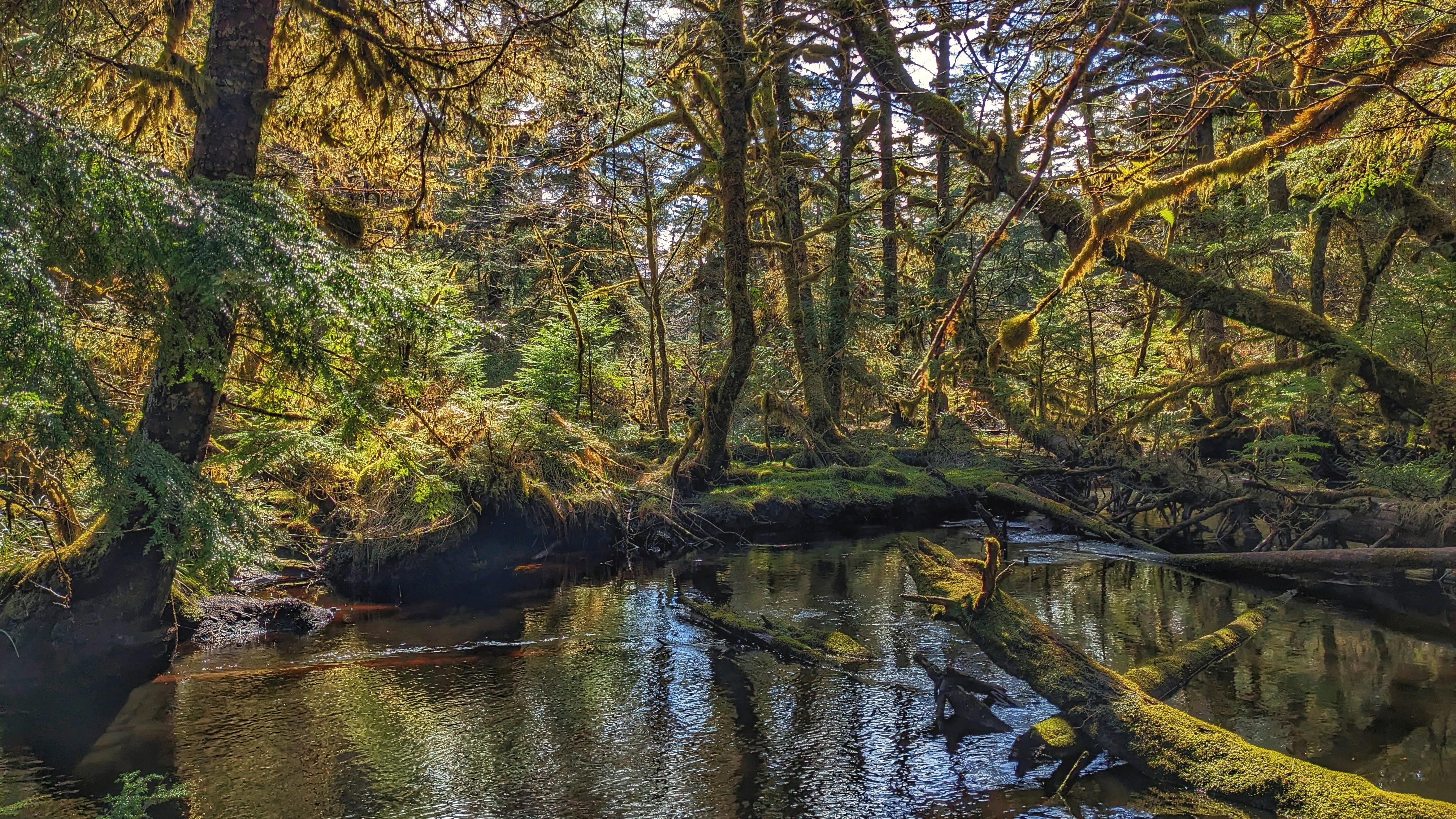
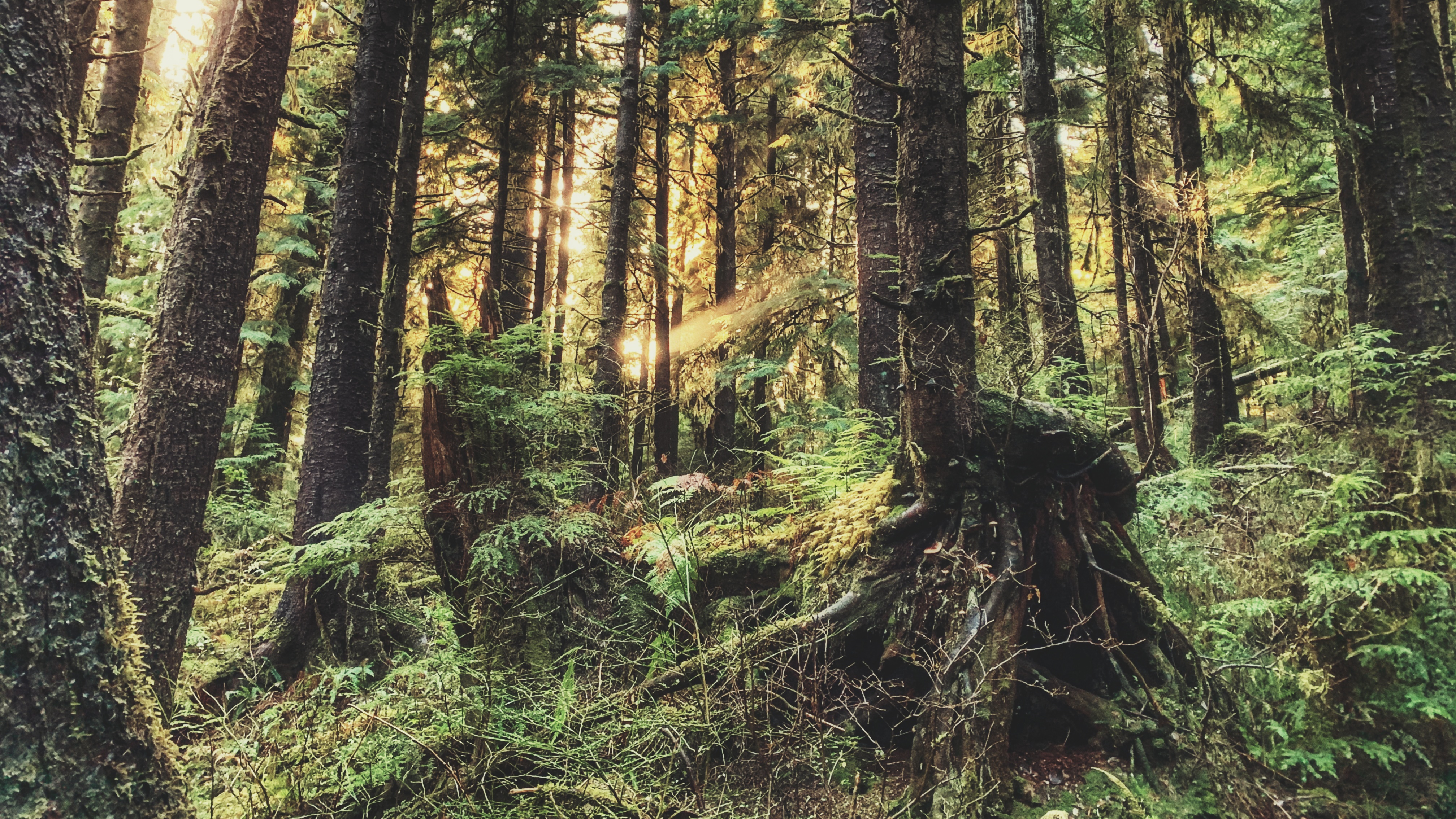
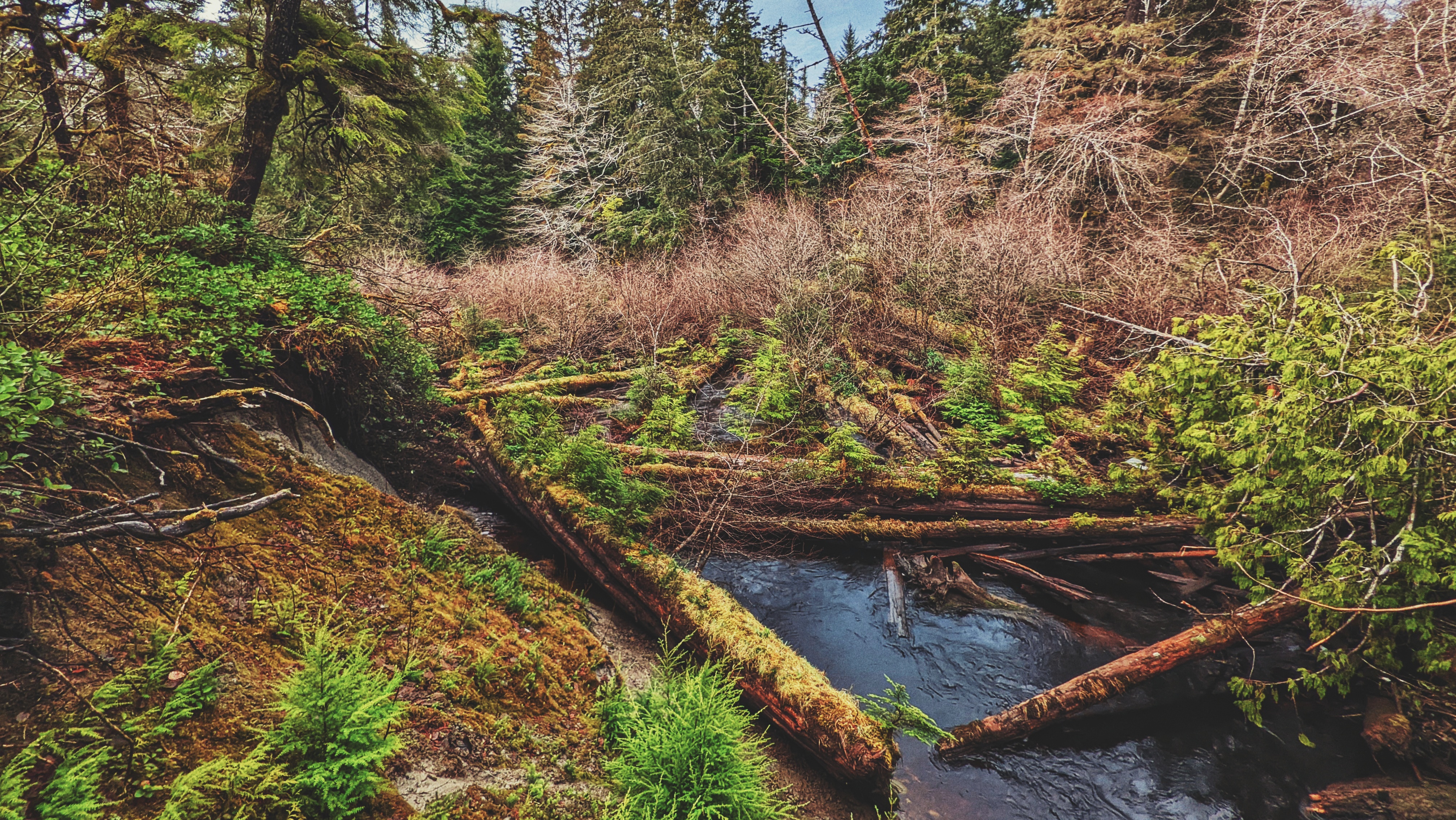
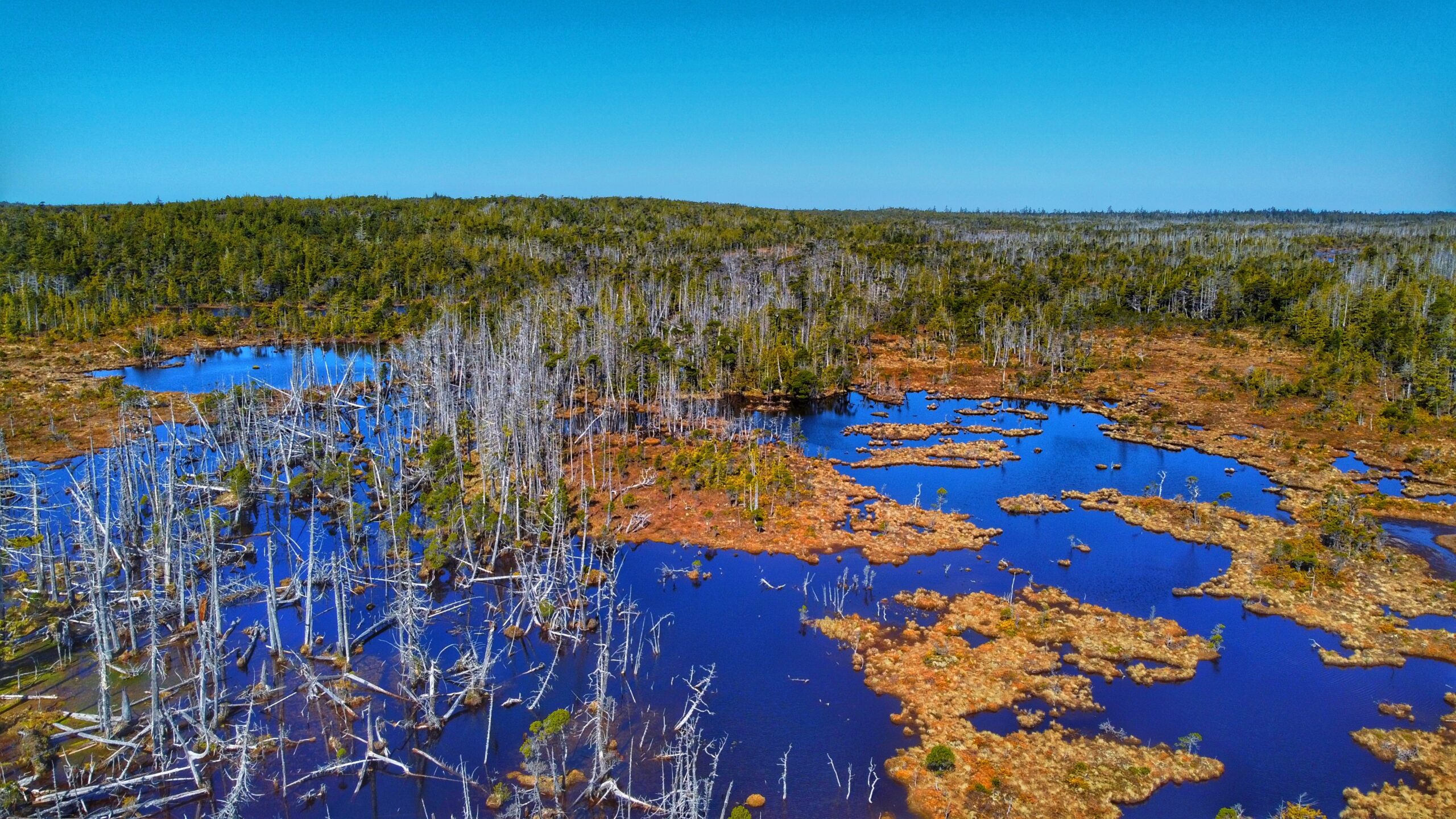
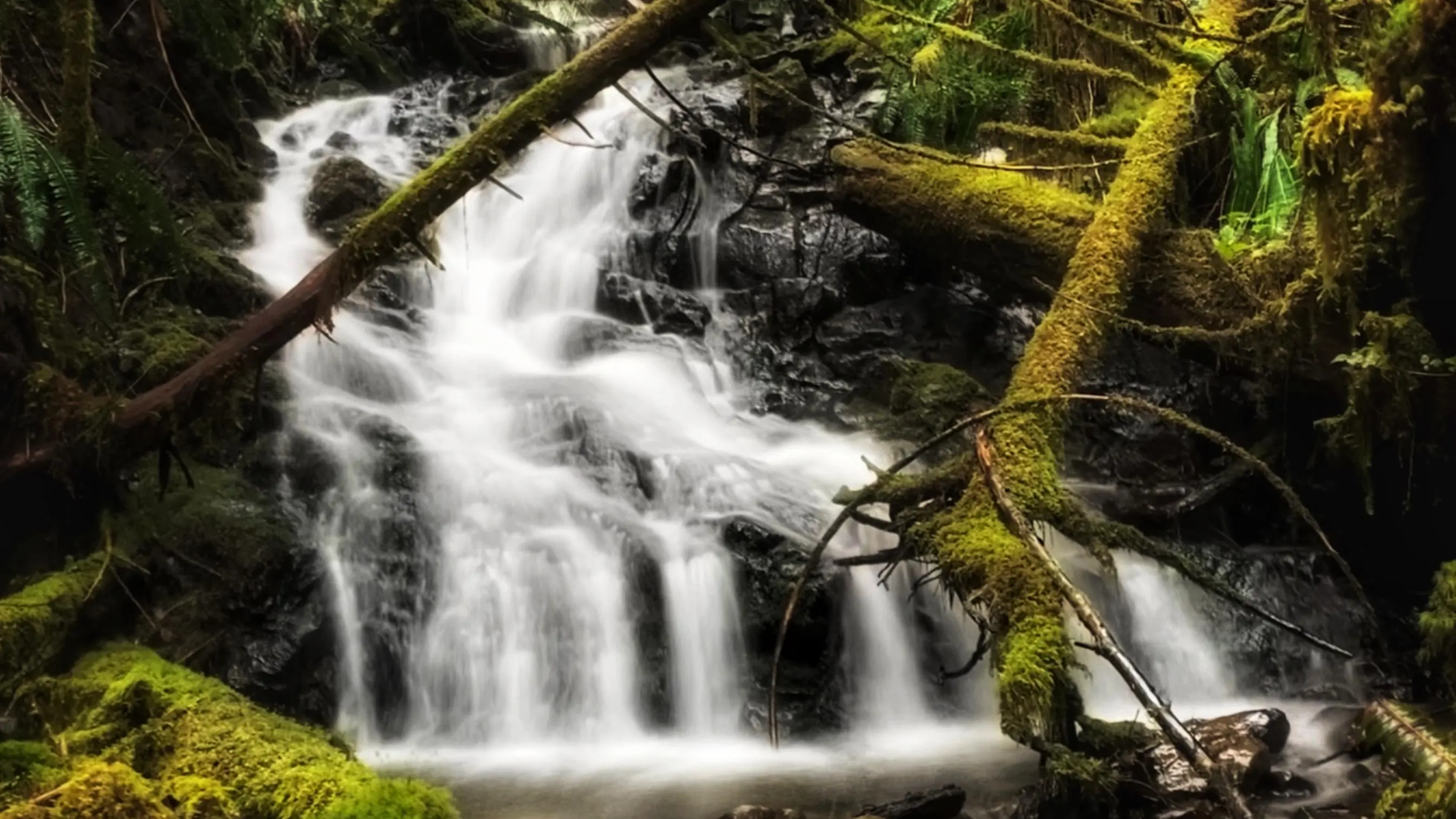
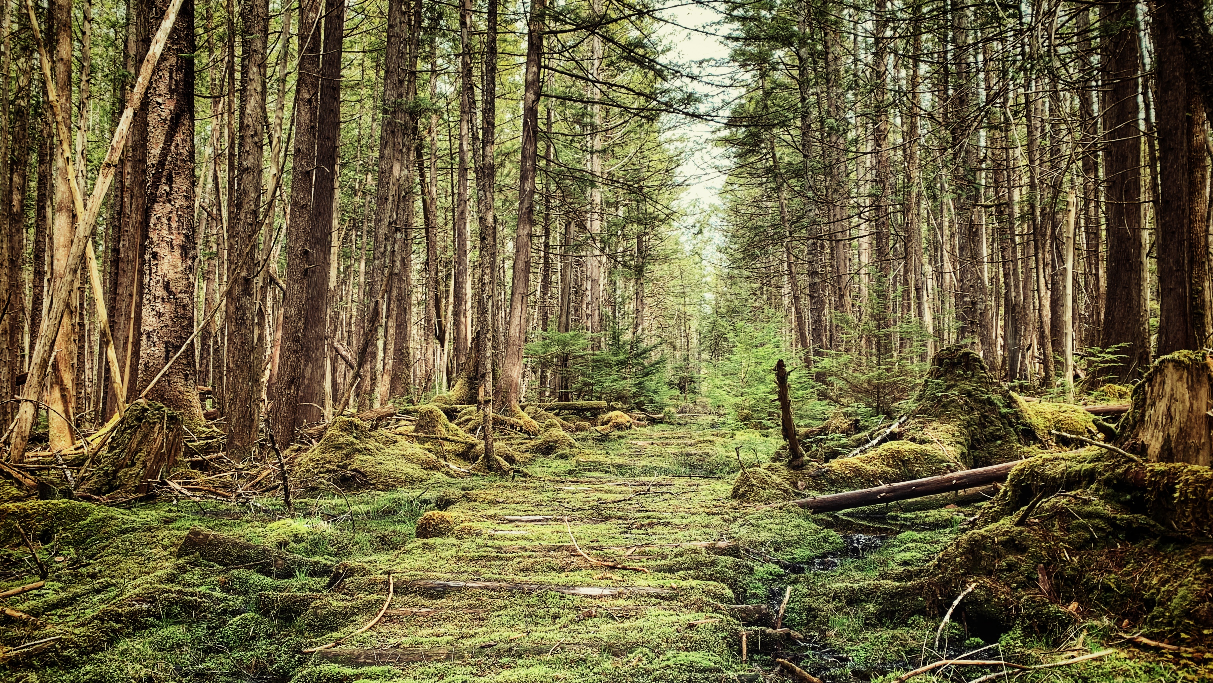
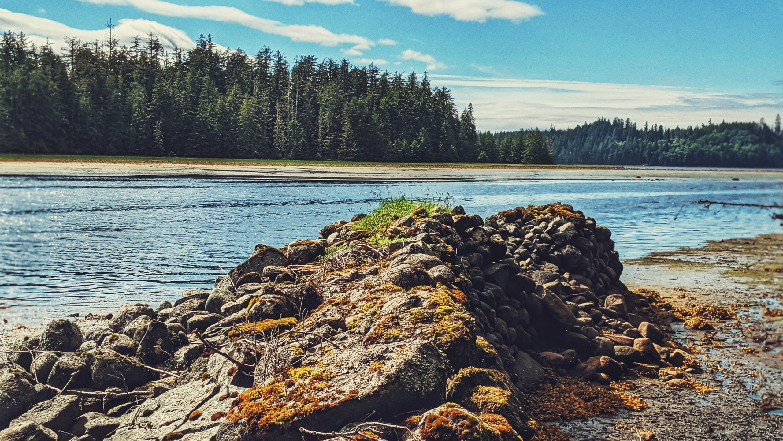
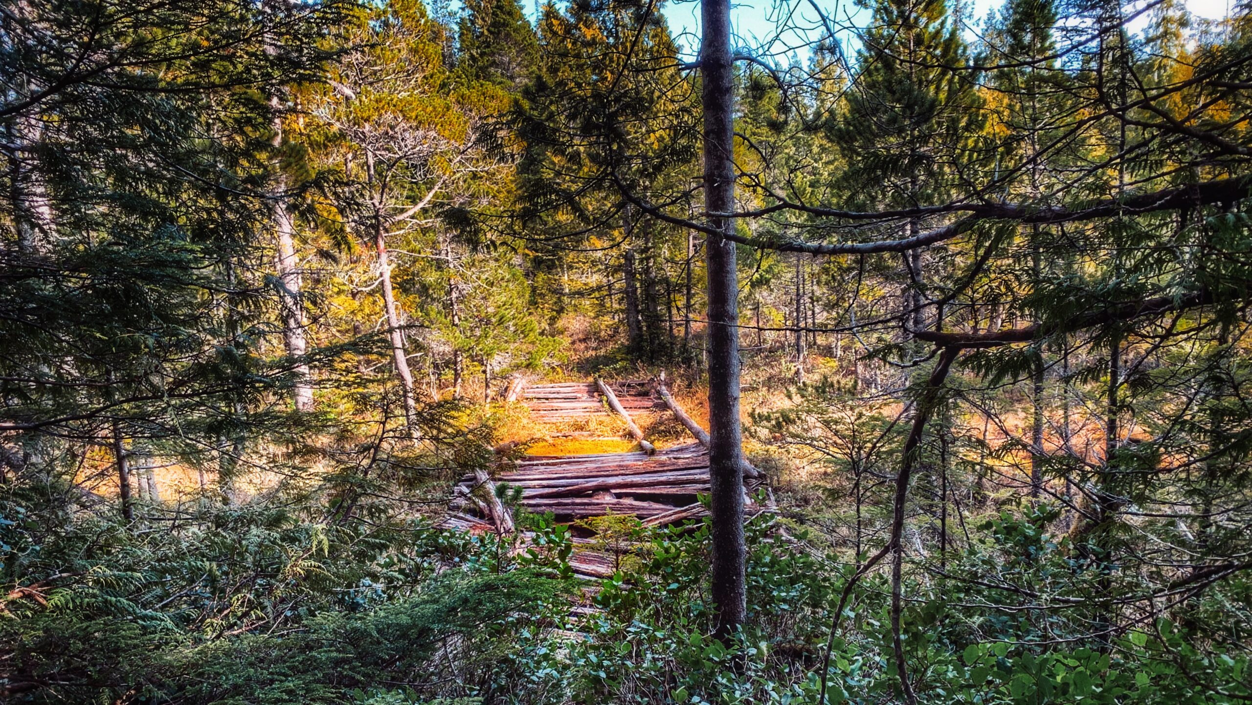
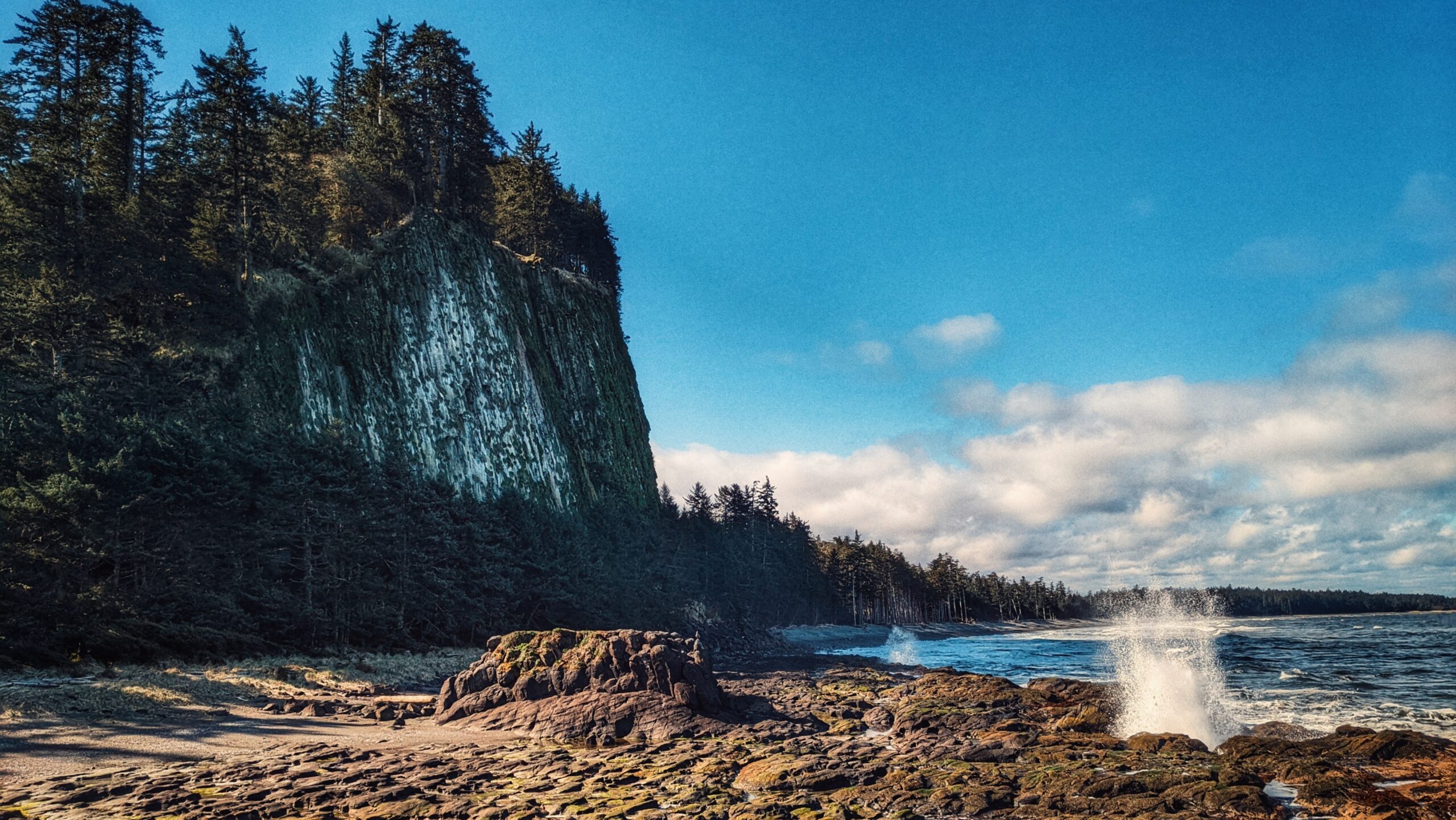
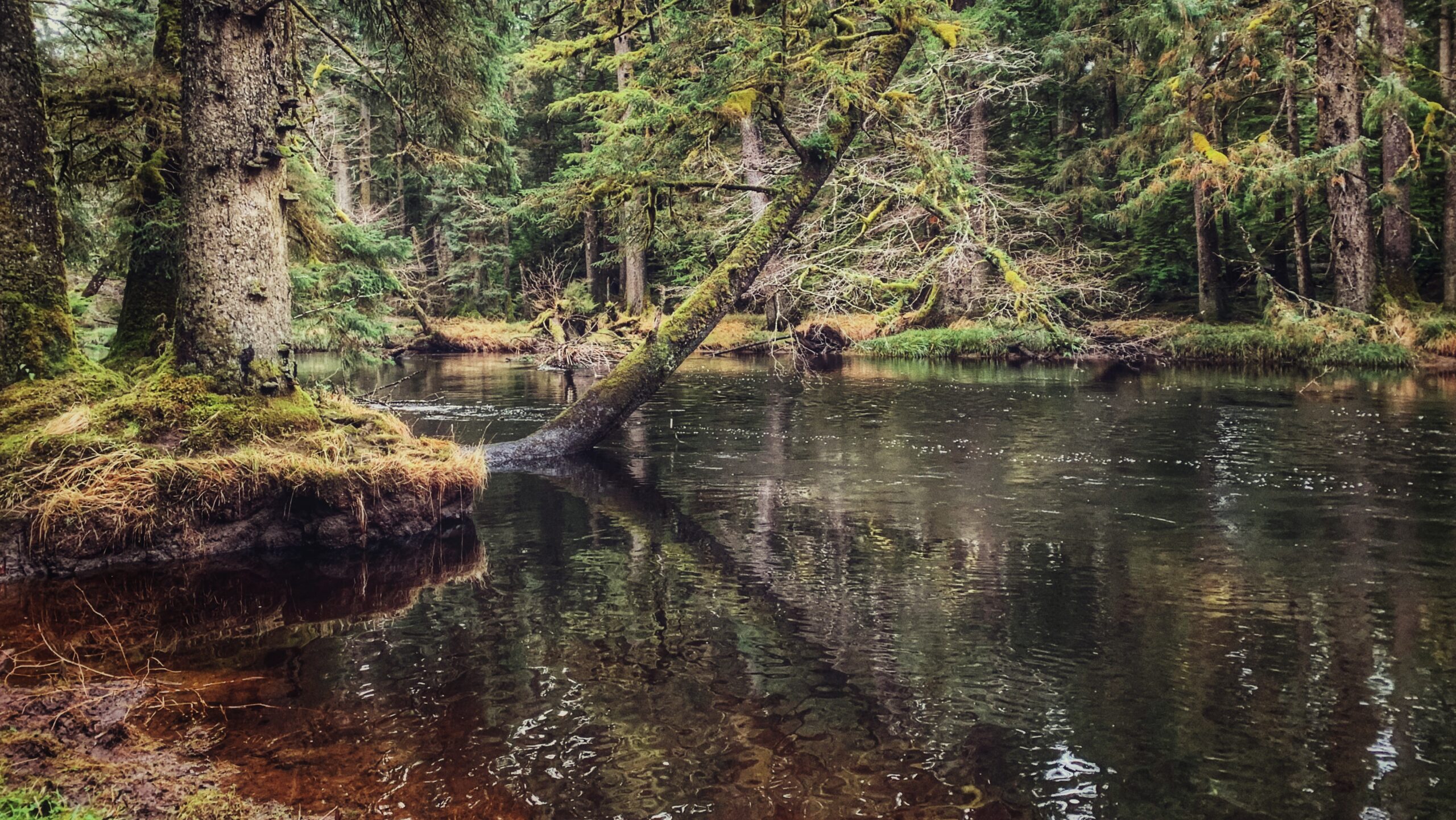
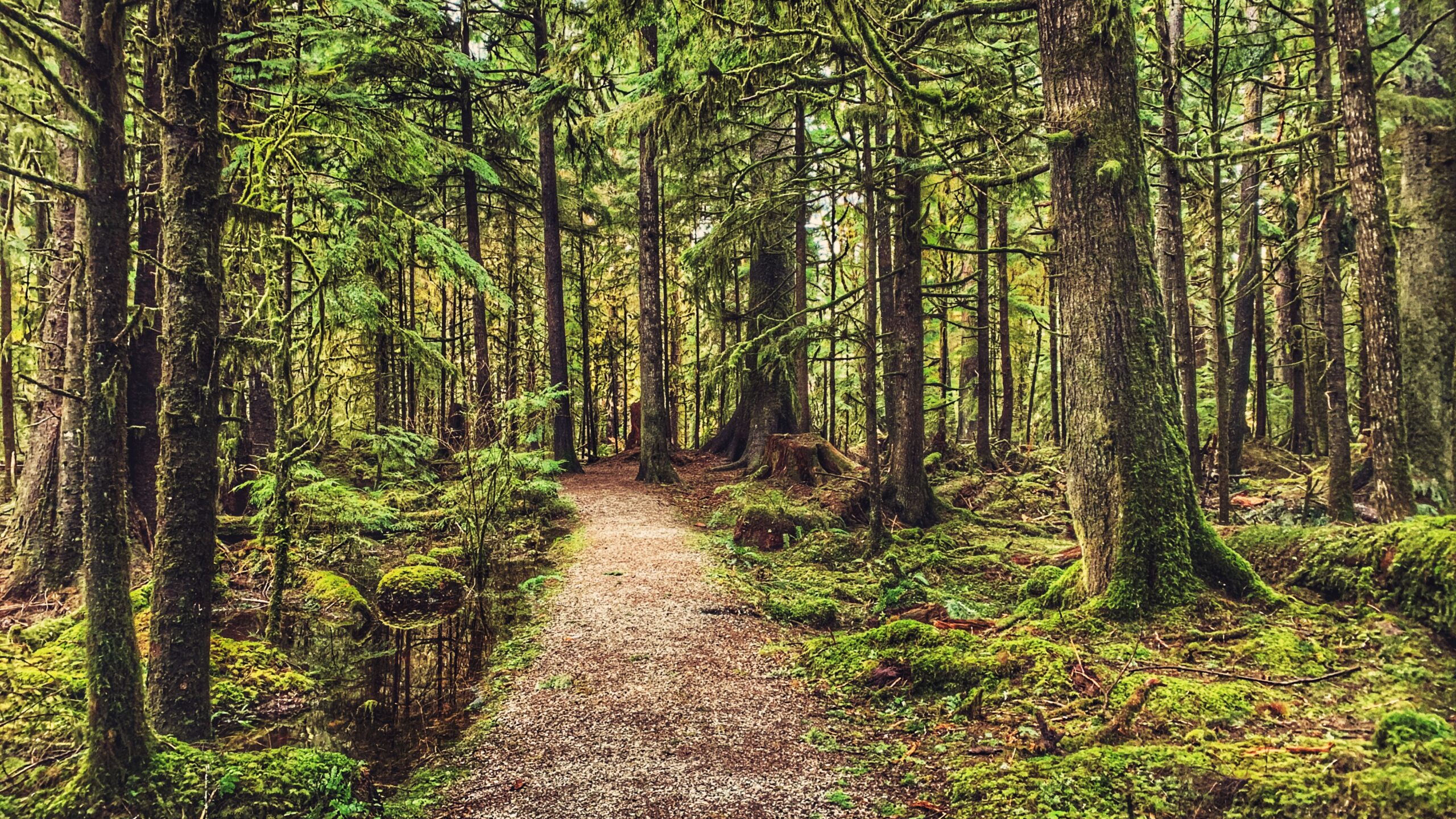
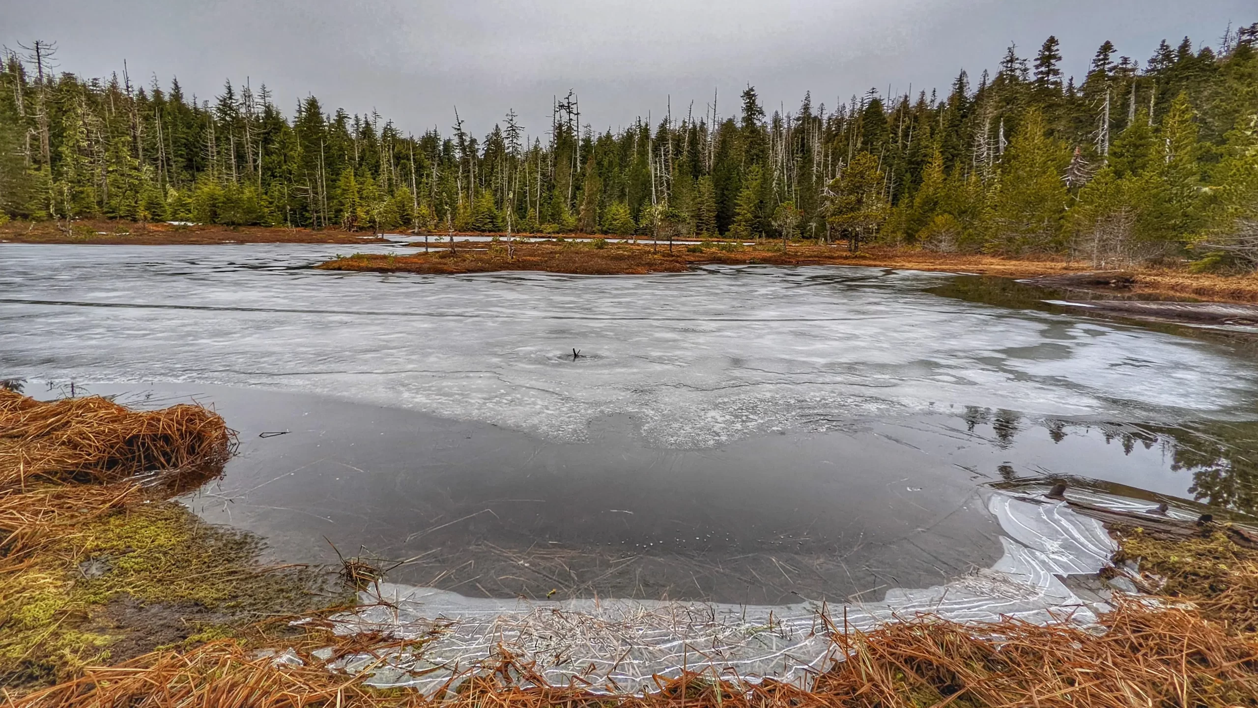
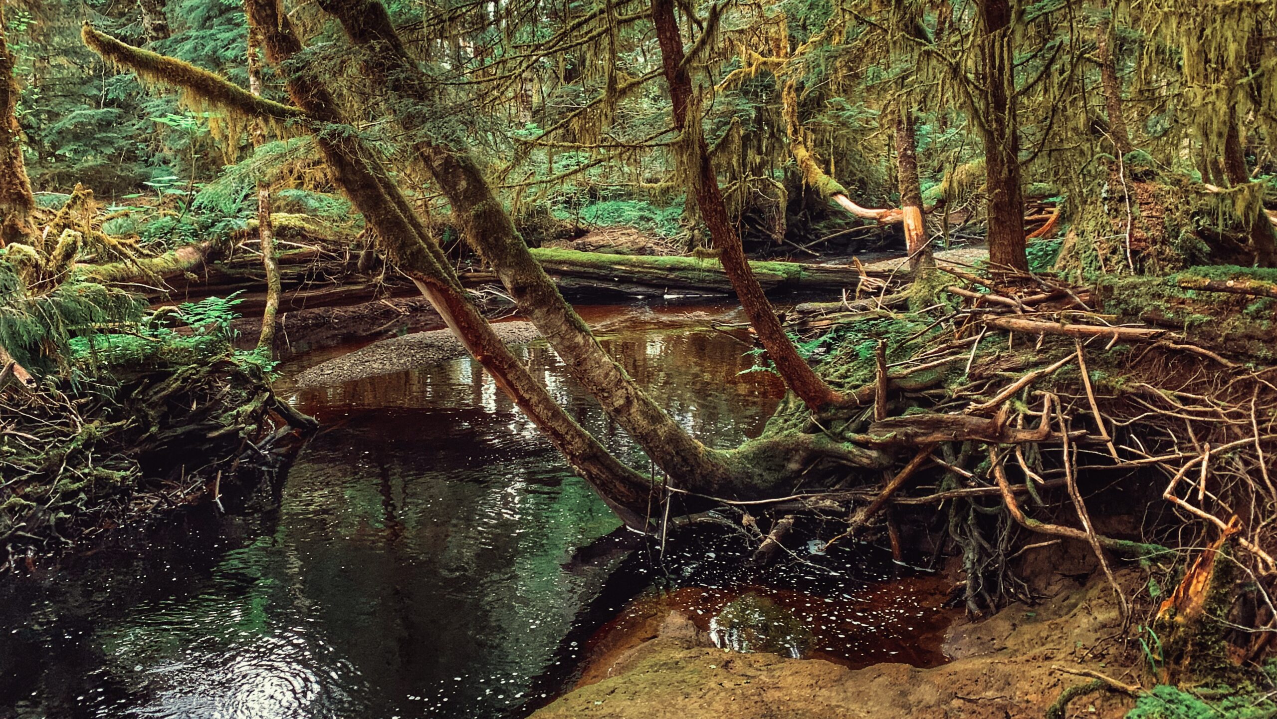
The Canoe Lake Trail, also lovingly called “Rat Lake,” is a rough route just outside the southern boundary of the Yaaguun Gandlaay Conservancy. The lake itself is small and characteristic of other bog lakes on Haida Gwaii; however, what makes this trail worth the trek and effort is what can be found around its general parameter: A number of blank/unfinished Haida canoes and culturally modified trees (CMTs)
Go Hike
In brief, there is no trail on Haida Gwaii called “Sleeping Beauty.” The name “Sleeping Beauty” actually refers to Mount Slatechuck and Mount Raymond – known collectively as the “Sleeping Beauty Trails” because, when viewed from the Village of Daajing Giids, the mountains resemble a woman’s face when laying in repose. What trail, then, are people referring to when they say they’re going to hike Sleeping Beauty?
Located within the Duu Guusd Conservancy, Gregory Beach offers a lovely sand and pebble beach for those wishing to relax and experience the dynamic environment that is Haida Gwaii’s rugged west coast. At the beach’s north end you will find Gregory Creek, which is home to spawning salmon in August and September. The small Gregory Beach campsite is located opposite the creek.
The Riley Creek Trail is the only substantive hiking trail within Rennell Sound where the trail itself functions as the attraction (with the other three, the trails are secondary to the beaches). While not formally maintained, the path is obvious and generally well-marked. When we hiked the route, there were only a couple of spots – just past the mid-way point – where we had to take a moment to locate the trail thanks to blowdown.
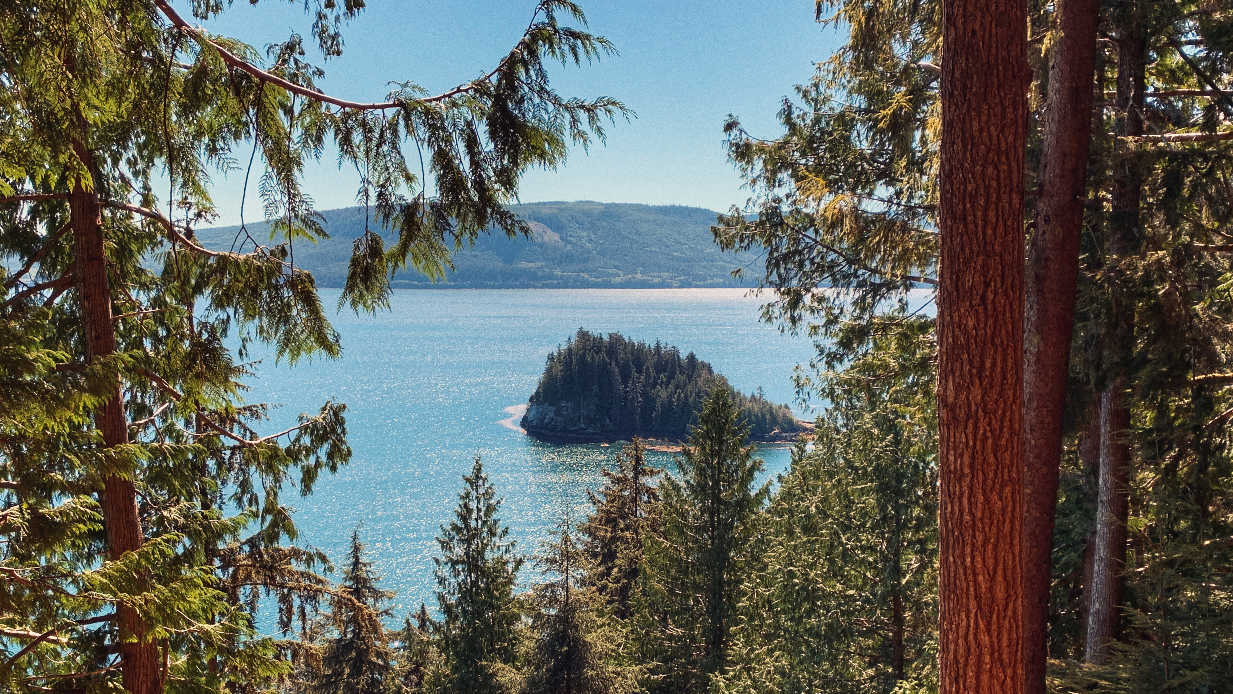
The Five Mile Beach Trail is short and straightforward. Clocking in at just 180 meters, it should take no more than a few minutes to reach the rocky beach. The trail, while not formally maintained, is clear. Step with caution as you near the beach, however, because there are some minor tree roots to watch out for. Once at the beach, take some time to admire the rocky shore, the surrounding mountains, and the eye-catching Five Mile Island. For those wishing to camp, there is space to set up a small tent just off the trail, adjacent the beach.
The trail to Bonanza Beach is brief @ only 400 meters one-way. As you hike towards the beach, you will be treated to second-growth forest, giant spruce burls, dense salal, and some beautiful old growth cedars as you approach the beach. It should take less than ten minutes for one to reach one of Haida Gwaii’s crown jewels: Bonanza Beach.
As noted, this is not a formal trail of the Yakoun Old Growth Sitka Spruce Grove; however, you should see a vague path once you cross the river. It will lead you to an old de-activated road. The grove of old growth Spruce is facing the river. Take your time and explore these monumental trees. You will feel dwarfed in their presence, but this is forest therapy in the best sense of that term! Use caution as it is often difficult to see where you are stepping.
Be prepared for six rope sections. Most of these are short, and designed to help you over minor obstacles, but the final two – just before you reach the zenith – are essential in helping you reach the viewpoint safely. Once at the top, follow the narrow trail to a couple of viewpoints of the Tarundl Flats and bays down below. Please use caution while you are here as there are no ropes in place as a safety measure.
The trail takes hikers along the “high road,” an old deactivated logging road, and gives the adventure-minded many options for completing the route: You can treat it as a large loop and come back hugging the highway; or, you can use the Hatchery Trail as a “connector” and branch out to other routes, including the Sachs Creek Trail, Around the Pond and Onward Point, amongst others.
Located roughly 1.6 kilometers east of the Moresby ferry waiting area, and just off Highway 16, you will find the informal Sachs Creek Trail. The trail is unmarked and isn’t primarily used as a recreational hiking route; the creek has been used with some regularity by university students in environmental studies programs. Today Sachs Creek remains an important salmon-spawning creek.
There are no notable landmarks to help identify where the trailhead is. If you’re not already looking for it, chances are you’ll drive right on by. Once you park safely off the side of the road, you should spy two alder trees behind a group of feisty ferns. One of the trees features a double white diamond marking with some yellow tape attached to the lower diamond. Welcome to the Moresby Waterfall trailhead!
The trail to Small Lake is unmarked, but obvious, and takes about 10 minutes to complete. It is single- track and muddy, so one should use caution. The environment is one of young Sitka Spruce, some moss, huckleberry bushes, and other flora typical of a bog environment.
We parked our vehicle on the shoulder at Gold Creek Bridge and started hiking on the west (LEFT) side of the creek. As noted above, the trail is informal and sans marker, but all you have to do is follow the creek until you reach the south end of Mayer Lake. The area around the creek is delicate muskeg, so a good pair of boots or waterproof shoes is recommended.
The Cape Fife Trail begins on the north side of the Hiellen River and is mostly flat and level the whole way. After hiking for about 5 minutes, you’ll come upon a wide open space and a fork in the trail. Cape Fife continues to your LEFT (going right will take you onto the Four Corners). Before continuing, we recommend studying the Cape Fife information board also found in this area. It outlines the route and highlights a couple of key features – study it to ensure you’re adequately prepared for the hike.
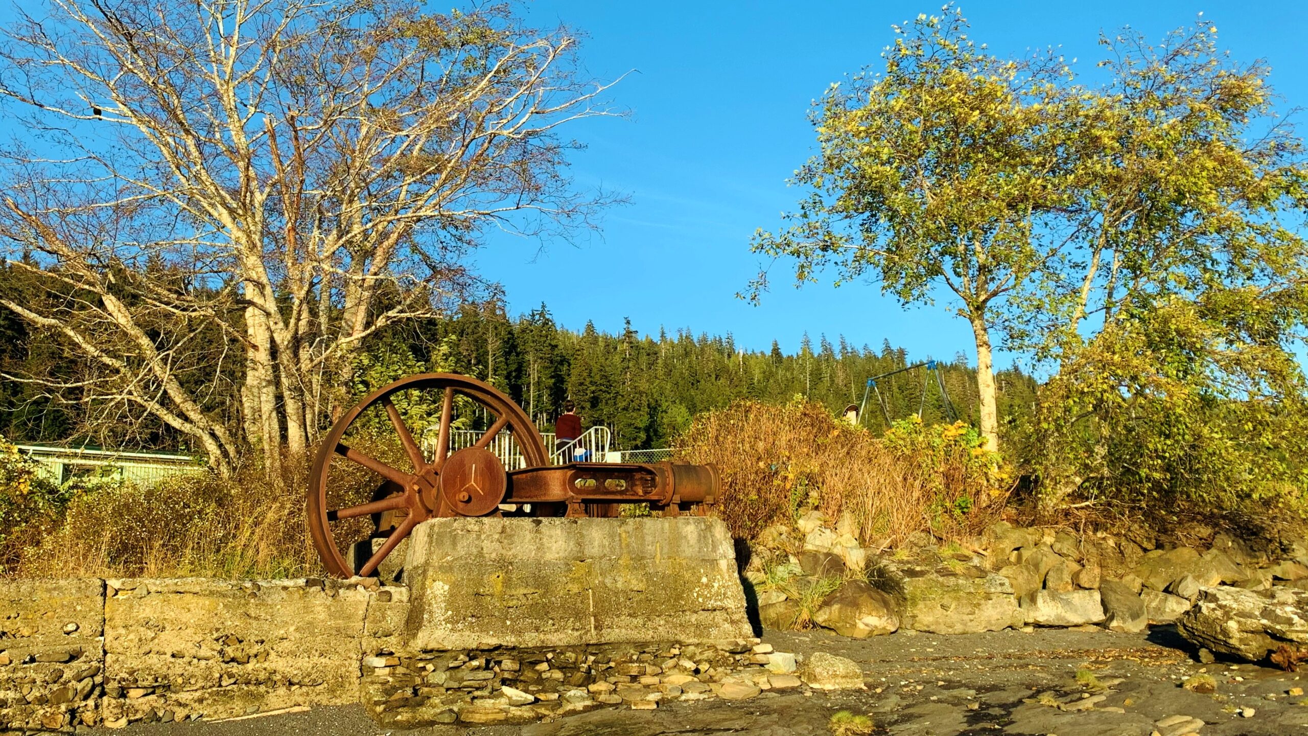
As was noted above, the Dempsey Collinson Memorial Trail is located a few feet behind the western Crabapple Creek trail marker, near the old M&B site. Just a few feet in, you will spy the rusted remains of an old “diesel donkey” hidden behind some bushes to your RIGHT. After a couple of minutes, you’ll come upon the first of many minor rope sections of the hike – this one bringing you down to Crabapple Creek. Cross the creek and continue hiking north.
Charlie Hartie Trail, named after a nearby creek which itself was named after early residents of what was then Queen Charlotte City, located at the top of 6TH street, just off 1ST Avenue (turn right).
On its surface, the Daajing Giids Seawalk is an inspiring urban hike or stroll along the village’s bustling waterfront. At a deeper level, though, this one-kilometre walk takes you deep into the historic heart of Daajing Giids, highlighting key milestones that helped in its own coming-of-age story
The Spirit Lake Connector /K’yuu Aanagungis a user-maintained point-to-point trail in Skidegate. The route is relatively short, clocking in at just over 2 kilometres one-way. Depending upon one’s fitness level, and how long you spend at each of the lookout points, the entire trail can be completed in about 2 hours.
Henderson describes this hike as “a family dune walk for a sunny day.” It certainly is family-friendly, but we’d recommend walking this beach – also known as “Wiggins Road Beach” in the current day – on a low tide; otherwise, you’ll spend the duration hiking over stones of various sizes. The sandy beach is really only exposed during low tides.
Often described as “Haida Gwaii’s version of the West Coast Trail,” the East Beach Trail wilderness hike is a multi-day trek that will take you from the Tlell Day Use area all the way up towards Cape Fife and, if you’re feeling up to it, Rose Spit and Tow Hill. The total length of the hike depends on your desired exit point. If you choose to conclude your adventure at Cape Fife, you’ll have hiked approximately 78 kilometres when it’s all said and done
The “Around the Pond Trail” is easily missed. It isn’t mentioned in any of the sparse trail literature on Haida Gwaii (published or online), nor is it mentioned on the popular Backroad Mapbooks. As such, people find this trail by accident or learn about it from a helpful local. Where is this fabled trail?
For those wishing to access the lower Tlell River and experience the old growth “alley” in a more expedient way and manner, then the northern entrance is the most convenient. To access this trailhead, turn up the short dirt road indicated by Tlell “Farmers Market” signage and then park your vehicle at the nearby soccer fields, just behind the Tlell Fire Hall.
Some 11 years later, the trail is little-known and most hikers walk right on by without even realizing it’s there. I suppose that’s understandable because there is no trailhead marker denoting the route – there’s just some subtle flagging tape off to the side that’s very easy to miss.
The Sangan River Trail is perhaps better described as a river walk than an actual trail. There is no formal trailhead, nor trail markers denoting the route; however, it is very easy to find and represents a peaceful walk – one that allows you to disconnect from the wired world and re-connect with nature and the elements. To access the Sangan River Trail, drive 10-minutes outside of Masset until you come upon the Sangan River Bridge
Located approximately 5 minutes north of Skidegate by car, you’ll find Chinukundl Creek, more popularly known as Miller Creek. Just up from the bridge, you’ll also spy Chinukundl Road. Turning up the road will take you into the informal community known as Miller Creek.
Susan’s Trail is unmarked, but its location is familiar: As you drive in towards the Misty Meadows campsite you will inevitably spy “the big tree” to your left. This marks the start, or trailhead, of Susan’s Trail. You can park your car on the side of the road or drive a couple of hundred meters forward to the campsite and park there before beginning your hike.
From a recreational perspective, Misty Meadows Beach Loop Trail serves as a nice introduction to the wonders of Naikoon Provincial Park. It offers beach access and some nice hiking.
Located on the northeastern tip of Graham Island, and wholly within Naikoon Provincial Park, Rose Spit is perhaps best described as a long beach walk rather than a trail hike. To begin your North Beach trek towards “the Spit,” walk down the dirt road from the Hiellen Cabins and onto the beach: You are now at the trailhead/start of your epic walk to Rose Spit.
The Spit Walk can be accessed at two major points – along Tacan Road or Beach Road. If you want to do this hike, we’d recommend starting at Beach Road adjacent to Lon Sharp’s “Spirit of Sandspit” (giant salmon) sculpture because there’s parking available at the site of the former government wharf.
This trail technically doesn’t have a name but, because it leads to another ancient Haida Canoe, the tendency has just been to call it “Haida Canoe Trail #2” – an interesting name choice since you actually come upon its trailhead BEFORE the “Haida Canoe Trail” that most everyone visits.
The Haida Canoe Trail is roughly 8km past the Golden Spruce Trail, along the Port Man Forest Service Road. You will notice a large sign that says “HAIDA CANOE” on the left side of the road, at the “Y” before the Port Man turns into the QC Mainline. The sign is impossible to miss and it points you in the direction of the ancient Haida canoe.
Boulton Lake Trail is located approximately 28 kilometres south of Masset and 14.6 kilometres north of Port Clements, along Highway 16. The trailhead is unmarked but is signified by a small dirt pullout directly across from hydro pole 330. The pullout has enough room for two small vehicles.
To access Pure Lake Trail, you must hike a short trail of approximately 329 meters (one-way). It only takes about 3 minutes to reach the lake, but please note that sections of this trail can and do get quite muddy – especially after some rainfall. Once you reach the terminus point of the trail, you’ll come upon a small sandy beach and, of course, the lake. This is a popular day-use area for picnics and swimming.
While Crab Trap was designed to function as a mountain biking trail, it is also a wonderful hiking trail. Clocking in at a brisk 1.2 kilometres one-way, the route takes you through a beautiful forest of spruce, hemlock and lush ferns.
Crabapple Creek Trail is another of the Daajing Giids’ “community trails.” It is approximately 1 kilometre in length (one-way) and is, in our view, one of the easiest of the local trails, only behind the Tarundl loops at Kagan Bay. Unlike a lot of trails on Haida Gwaii, Crabapple Creek is clearly denoted with formal trailhead markers and is, therefore, easy to find.
In order to get to Hlk’yah GawGa, you’ll have to book a tour through one of Haida Gwaii’s local touring operators or, if you’ve got the endurance and seafaring knowledge, a multi-day kayak adventure.
Four Corners Trail is located immediately east of the Hiellen River Bridge in Naikoon Provincial Park. The route is a settler wagon road, established initially circa 1910, to access parcels of land further inland. The full length of the Four Corners Trail is approximately 5 kilometres; however, today, only the first 2.5 kilometres or so can be safely hiked.
The Piper Creek Trail is located approximately 3 kilometres west of Sandspit, adjacent to the “Piper Creek” bridge, heading towards the Kwuna ferry line-up. There is no formal parking; however, there is enough space on the shoulder of Piper Creek Bridge for two small cars. The trailhead is indicated by a small white marker a few feet from the bridge.
The Gore Brook Trail is one of 5 “community trails” in the Village of Daajing Giids. Unlike most trails on Haida Gwaii, Gore Brook actually has formal trailhead signage and is, therefore, easy to find. It has two main entry points: The first is at the top of 8th Street (north of the high school). Once you reach the top of 8th, turn right and you should see the trailhead marker adjacent to a small side road. The second point of entry is on the 2nd avenue (above the municipal office), along the Village’s western end.
Popular with tourists and locals alike, this well-maintained easy hike offers the curious a portal through which to view Haida Gwaii’s natural beauty: The carpeted moss floor; the meandering creeks; beautiful cedar and spruce trees; culturally modified trees (CMTs); a plethora of eagles and woodpeckers; wild blueberries and mushrooms; the large Haida Gwaii black bear; and, of course, Spirit Lake itself. Each of these elements complements the overall setting and lends a picture of serenity.
The Anvil Trail, which is located in the Tlall Conservancy, is one of the more popular trails on Haida Gwaii and is the only maintained route originally developed by the Tlell Watershed Society (TWS). It follows a 5-kilometre interpretive route and takes you through second-growth forests, old-growth, riparian floodplains, and even some minor boggy sections.
The Sunset Park Trail, located along Bayview Drive, is an easy 2.7km out-and-back trail in the Village of Port Clements. The terrain is flat and basically follows the Yakoun Estuary the entire way. The track is so flat, in fact, that Port Clements even suggests it is wheelchair friendly.
Situated within Naikoon Provincial Park, White Creek Trail is a relatively flat 3.5-kilometre out-and-back trail. The trail, which is an early 20th-century settler wagon road, begins on the west side of White Creek, near the bridge. You’ll see a small sign – the trailhead marker – indicating that the route is not maintained. Despite this, it’s clear the trail is “user maintained” because it was clear and easy to navigate for the duration of our hike. The first kilometre of the hike takes you through a beautiful second-growth forest, carpeted with thick green moss, along an unmistakable wagon road.
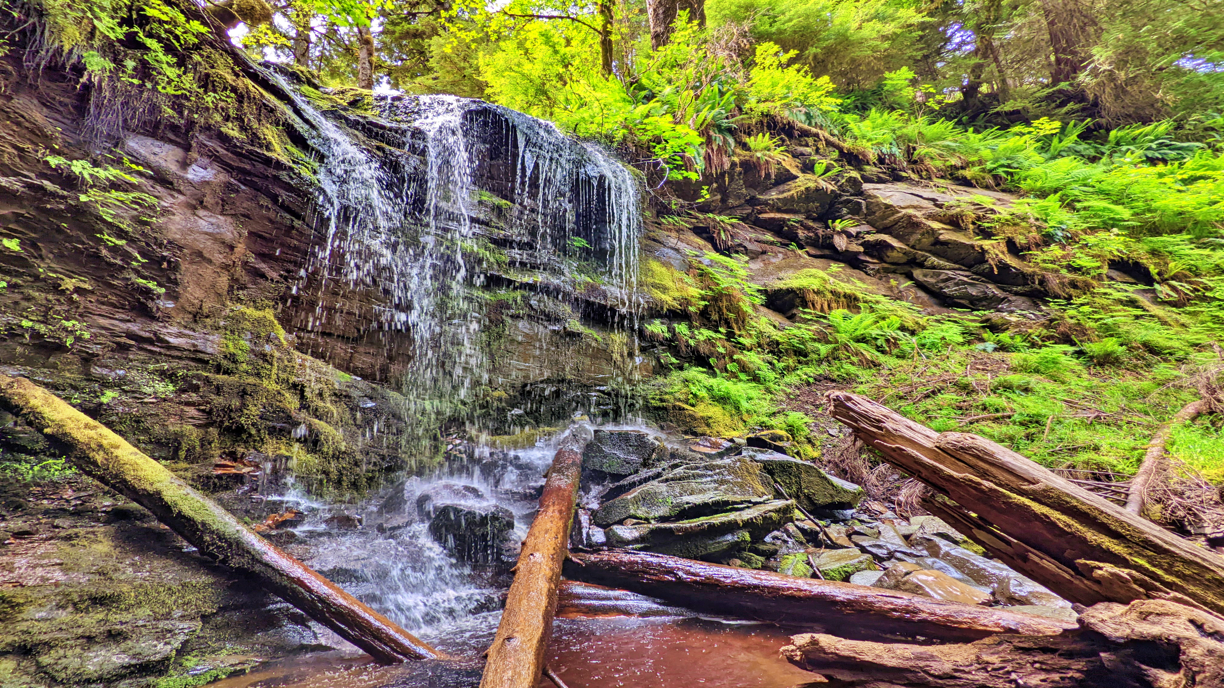
5-Mile Marker Waterfalls TrailQuick & easy to accessRelaxing spot ABOUT While there are a number of nice waterfalls on Haida Gwaii, most are either extremely remote and/or require a bit of effort to get to – some are some exceptions like the 5-Mile Marker Waterfall Trail. Then there are a select few that are relatively […]
Drive down Lawn Hill Road until you cross Lawn Creek Bridge. From here, and directly ahead, you’ll see a joke sign: “Violators will be prostituted.” This rather humorous sign indicates a private property; however, to your LEFT you will see a small yellow sign posted on an alder tree: “OLD WAGON ROAD.” This sign essentially signifies the start of your hiking adventure, but it is not the trailhead.
Located within the 2,722-hectare Kamdis Heritage Site/Conservancy, the “Evans Homestead” Trail was first brought to our attention via a series of old photos taken in 1957 by Terry Annis, and posted by Go Haida Gwaii. The ruins of the homestead, and the promise of massive rhododendrons, were most enticing. Unfortunately, directions towards this unmarked and unmaintained route are sparse.
The Nadu Homestead Trail – an old settler wagon road – is located approximately 20 kilometres east of Port Clements, heading towards Masset. Once you see the intersection for Nadu Road, you’ll know you’re in the right place – the trail is direct across the highway.
At about the 1-kilometre mark, you should see some pink and blue flagging tape to your RIGHT and a small footbridge. This is the start of the North Road and “Pontoons Wilderness Historic Interpretive Route.” If you cross the bridge and walk a few meters, you should also see a trailhead marker for Prettyjohn’s interpretive route to your LEFT.
Onward Point Trail – While at the gazebo – gaze out towards Skidegate Inlet … you may even spy a grey whale or an orca in springtime.
Probably the most quintessential and well-known of Naikoon Provincial Park’s attractions, the Tow Hill and Blow Hole Trails hiking routes are easy and family-friendly, thanks to boardwalks that go their entire length. At the trailhead, which is approximately 26 kilometres east of Masset, you’ll be greeted by two small Haida totems, both of whom sit on either side of a large infographic. This interpretive panel helps set the context for the hike you’re about to embark on.
Wiggins Road Trail FeaturesPopular fishing accessAccess to Tlall Conservancy A note of caution: One should avoid hiking this trail after heavy rainfall. Sometimes the banks of the Tlell River will overflow, flooding sections of the trail and making them virtually impassable. ABOUT The Wiggins Road trail is an unmaintained 1.5km out-and-back route that follows the Tlell […]
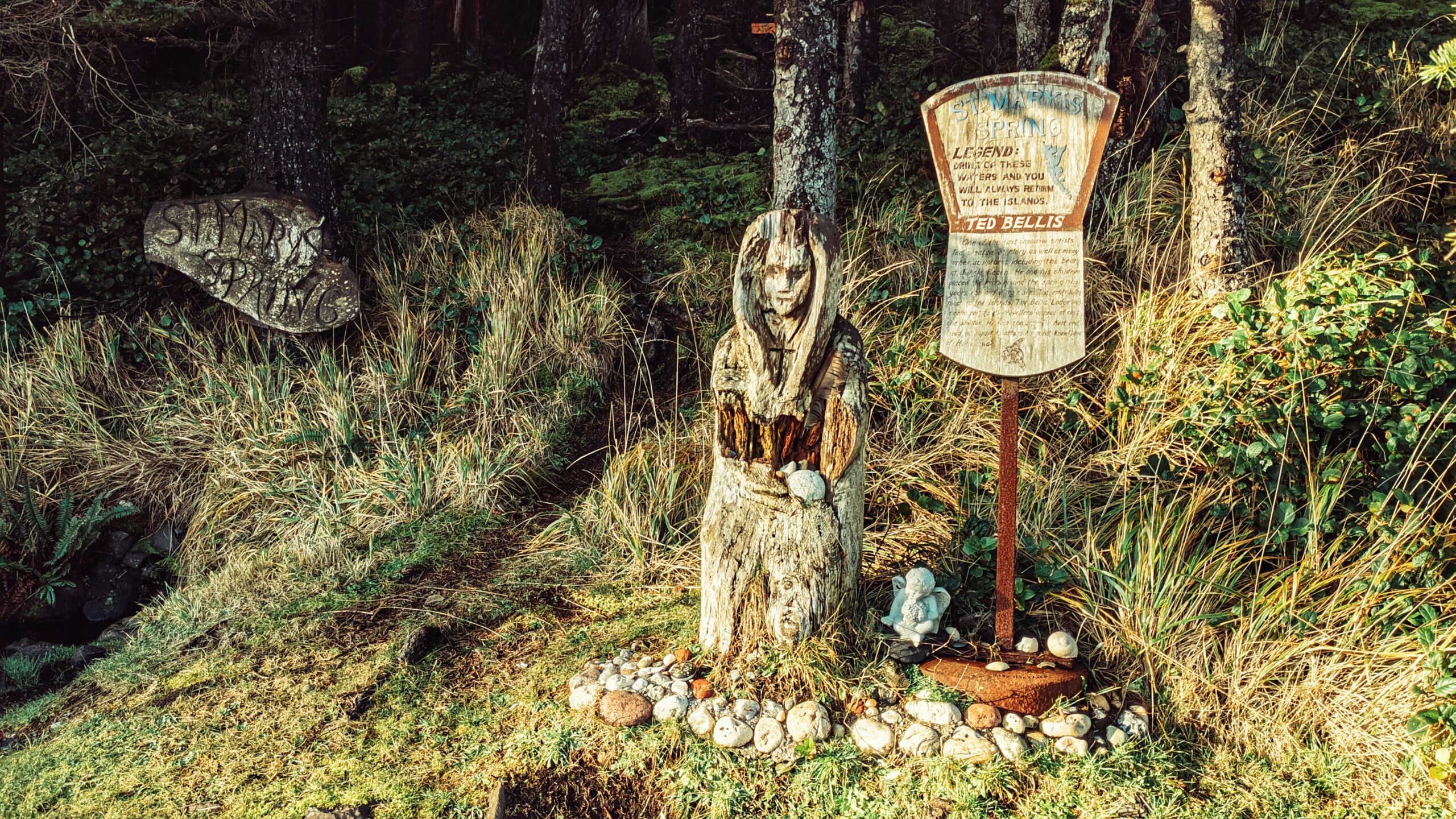
Unlike most places on Haida Gwaii, St. Mary’s Spring Trail is quite young in terms of its history. At the beginning of the 20th century, this area was known as “Duncan’s Well,” named after an early homesteader. It is said that travellers used to stop and re-hydrate their horses at the small well. Beginning in the early 1920s, however, Annie Richardson took it upon herself to name the spring after one she’d known in England – St. Mary’s.
It is nevertheless a nice, albeit very short, trail. The trail does not have formal trailhead signage, but it is easy enough to find. As you’re driving along Tow Hill Road, just keep an eye out for Hydro Pole 97. If you’re driving north from Masset, the pole will be on your LEFT. The unmarked trailhead will be obvious and almost immediately beside the hydro pole.
The “Naikoon Canoe Trail” is very short at just 140 meters one-way. It is also unmarked, but well worth the effort to find. Having seen and witnessed many blank or old Haida Canoes over the last few years, we were both keen and curious to locate this one after having seen it in some tourist photos.
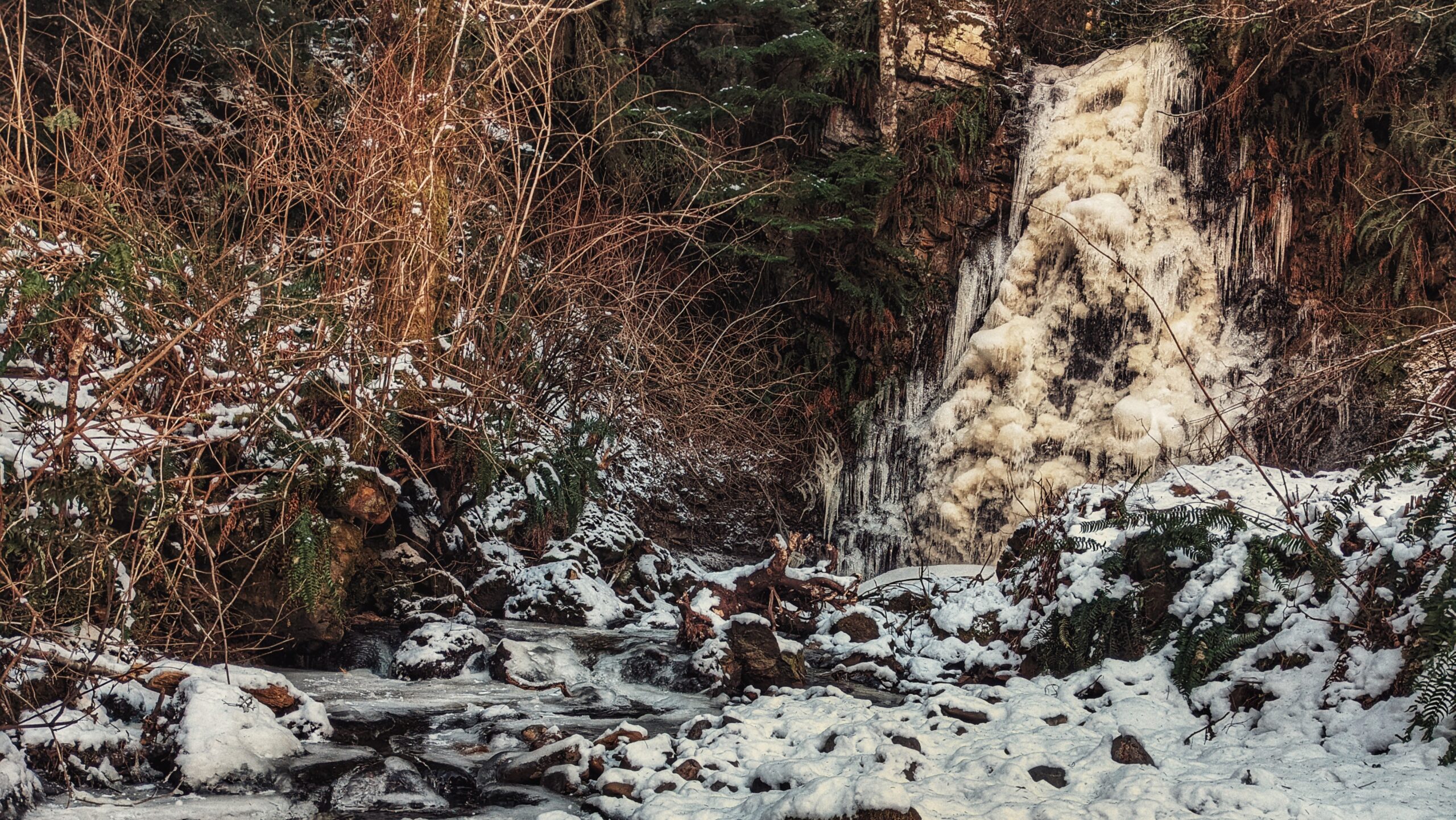
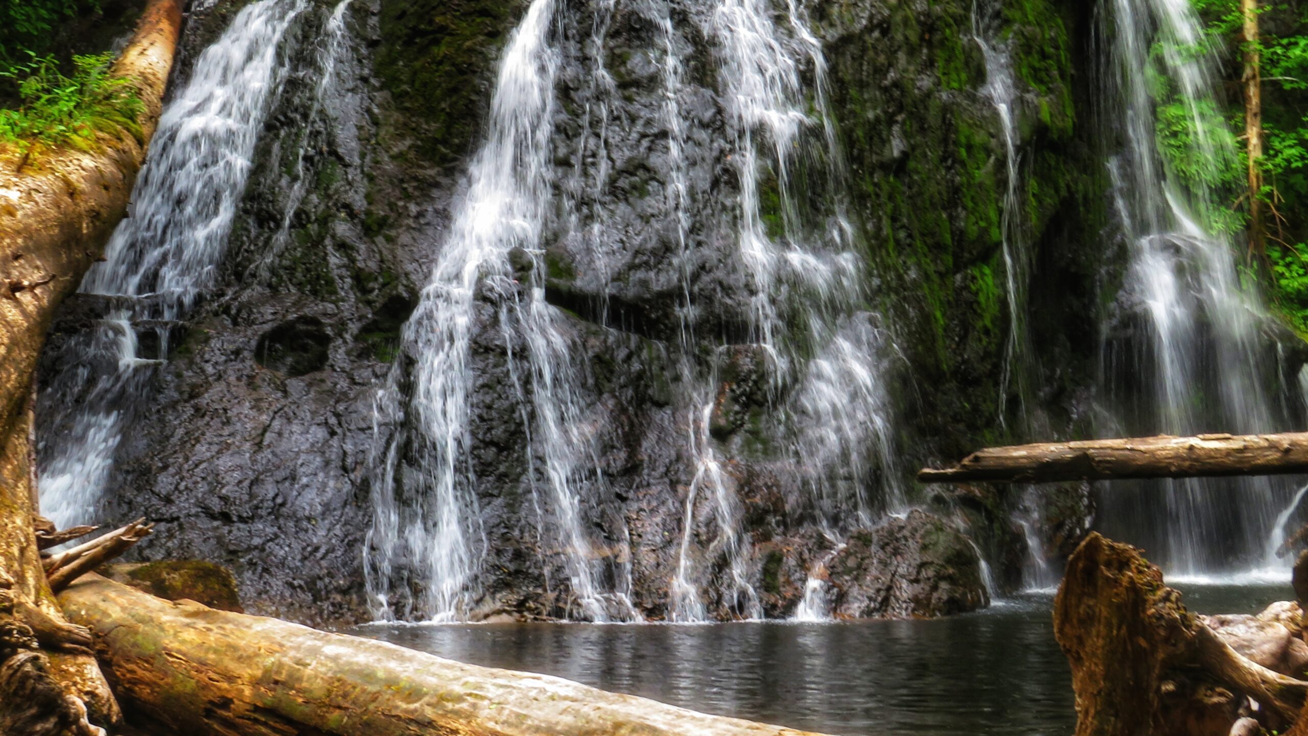
HlGaa K’aayhlina Gandlaay, or Rock Sitting Creek, is something of a hidden gem hiding in plain sight – as it features Rock Sitting Creek Waterfall along its path. Because of its close proximity to the far more popular Balance Rock, this little waterfall is often overlooked. And that’s unfortunate because the water cascading down the rock cliff can be impressive – especially after a significant amount of rainfall.
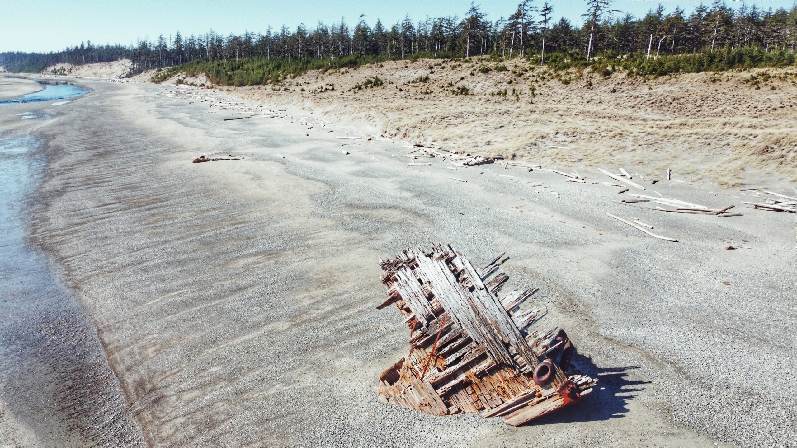
What is it about the Pesuta that draws so many? The story/context isn’t all that exciting. Basically, the Pezuta was built as a wood-hulled steam freighter during World War I and, after the war, she was sent to Seattle for “liquidation.”
Kwuna Point Trail is located on Moresby Island at Alliford Bay. To find it, assuming you’re driving off the Kwuna ferry, turn LEFT onto Kwuna Point Road and drive to the end of the road. You will see a small parking lot and dock – park here. Like most trails on Haida Gwaii, Kwuna Point does not have formal trailhead signage; however, it is clearly signified by the Stranraer 935 Memorial.
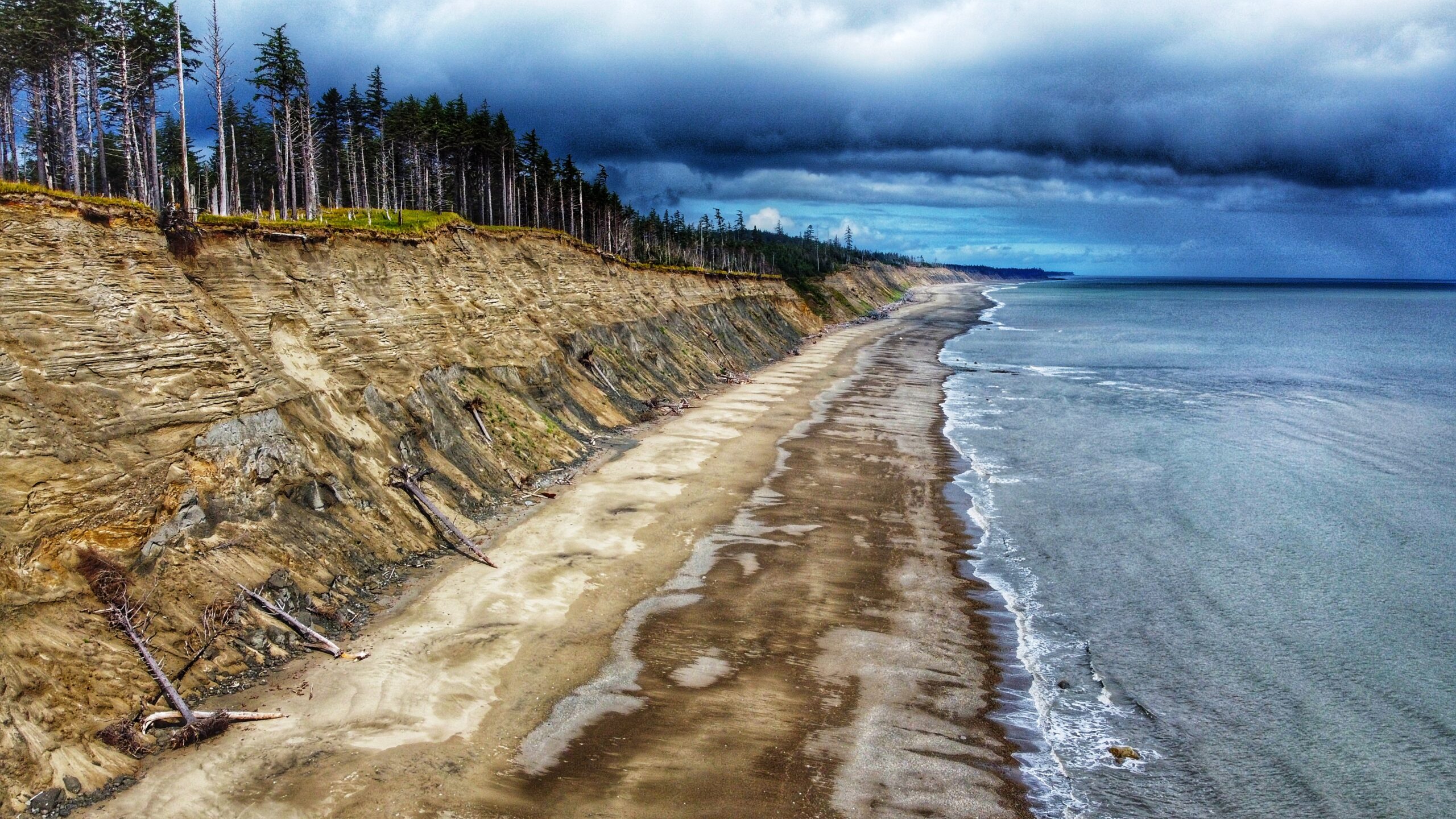
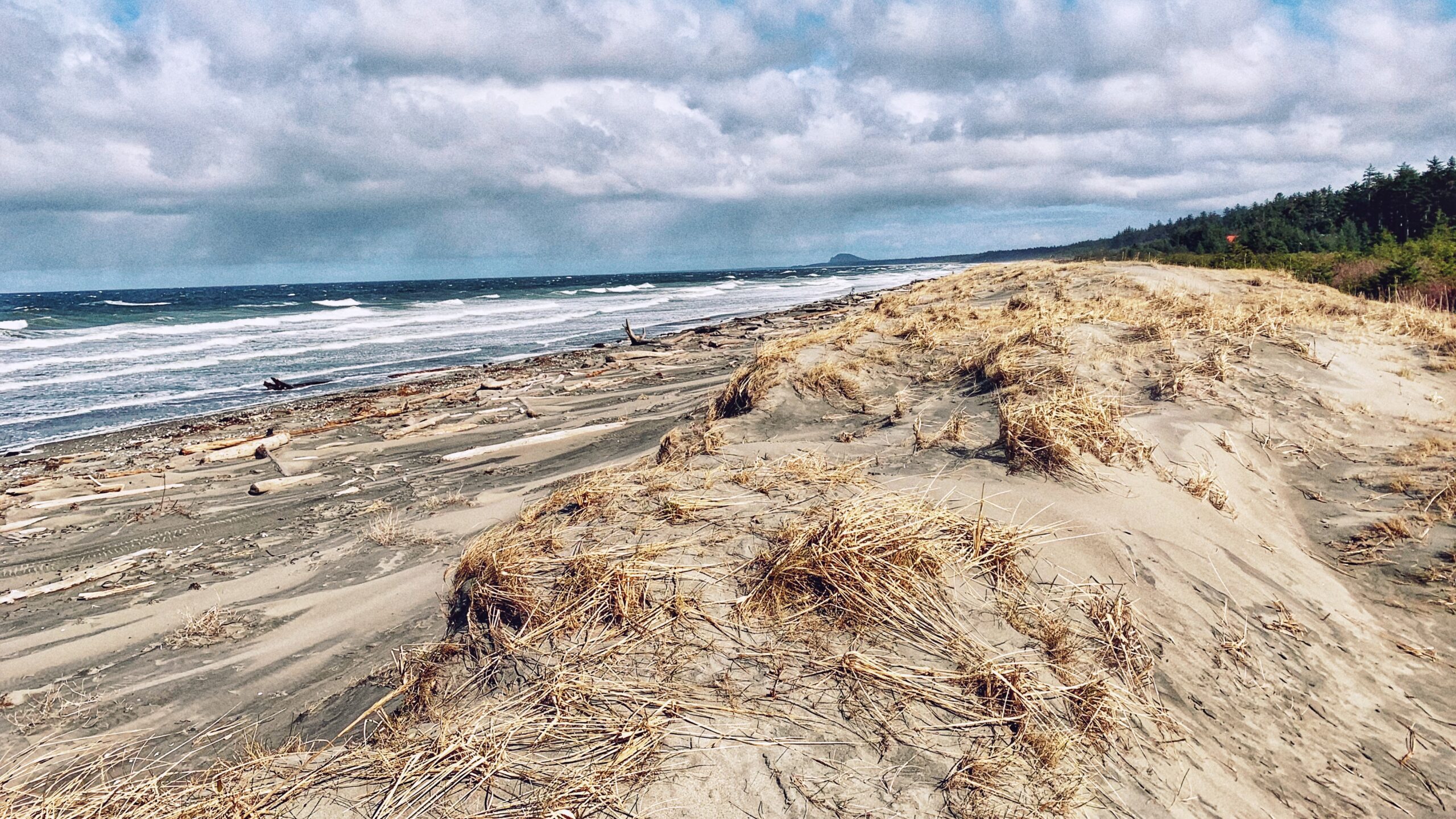
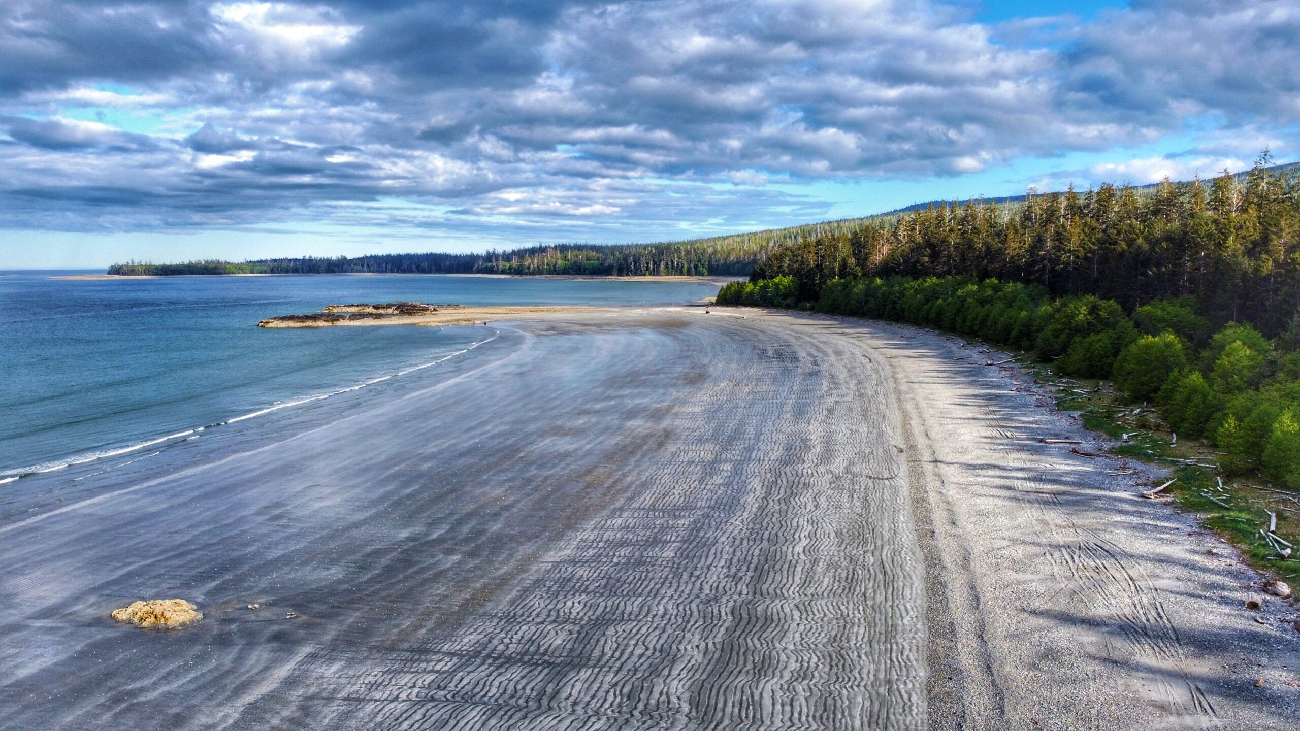
At low tide, one could seemingly walk for miles along the unique “wavy” gray sand, admire the delicate sea life in nearby tidal pools, beach comb, ride an ATV, kayak or enjoy a nice dip in the ocean. If hiking is more your thing, the 12km (one-way) Cumshewa Head Trail can be found at the south end of Gray Bay. Please note, though, that a lack of maintenance has resulted in this trail becoming very overgrown in recent years.
Located approximately 20 kilometers north of Skidegate, Jungle Beach is a popular swimming destination for locals and tourists alike. Its ease of access – just off the highway – concomitant with the roughly 2 kilometers of sandy beach makes for an appealing day out.
Tarundl Creek is part of the bigger Kagan Bay Recreation Site. Located west of Daajing Giids (less than 10 minutes by car), and along the Honna Service road, the Kagan Bay Recreation Site offers a host of activities for all members of the family to enjoy. The site has everything whether you want to go fishing, kayaking, hiking, or camping.
Located west of Daajing Giids, and approximately 3 kilometres along the Honna Forest Service road, is the Kagan Bay Beach Trail. The Kagan Bay Beach recreational site offers six user-maintained campsites, all of which face the beach.
The Haydn Turner Beach Trail is located at the end of Oceanview Drive, towards the western end of Daajing Giids. Once at the terminus of Oceanview Drive, you’ll spy Haydn Turner campground signage at the head of a narrow road.
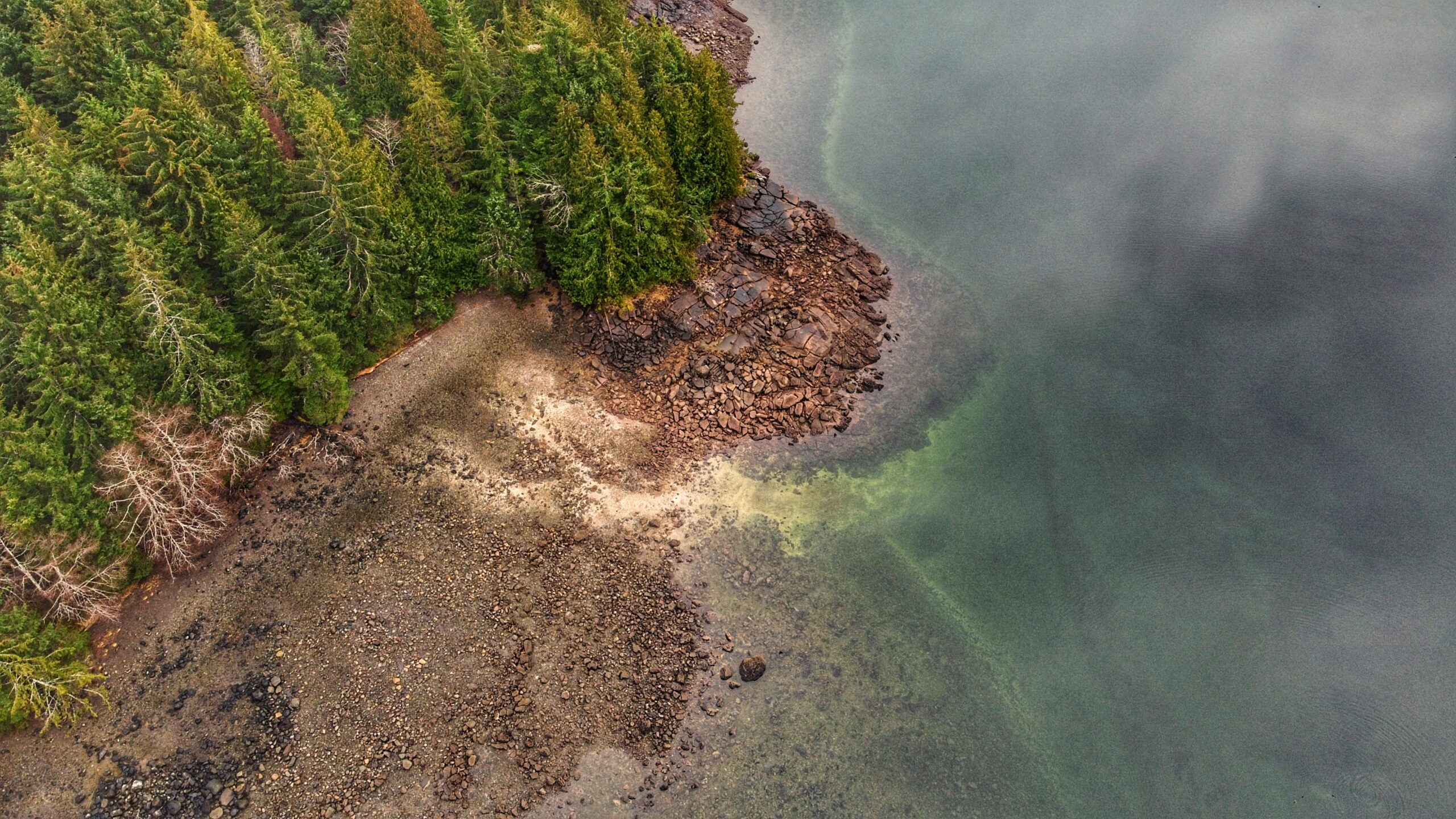
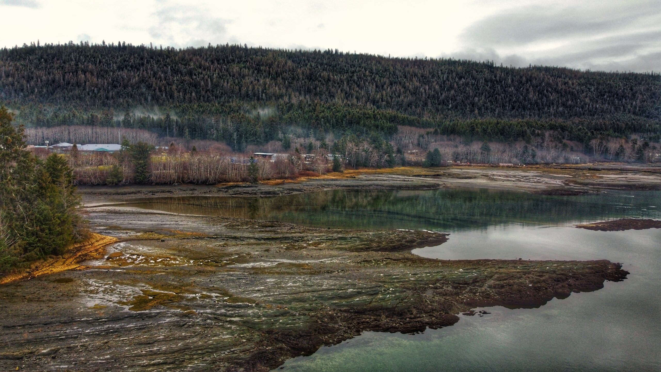
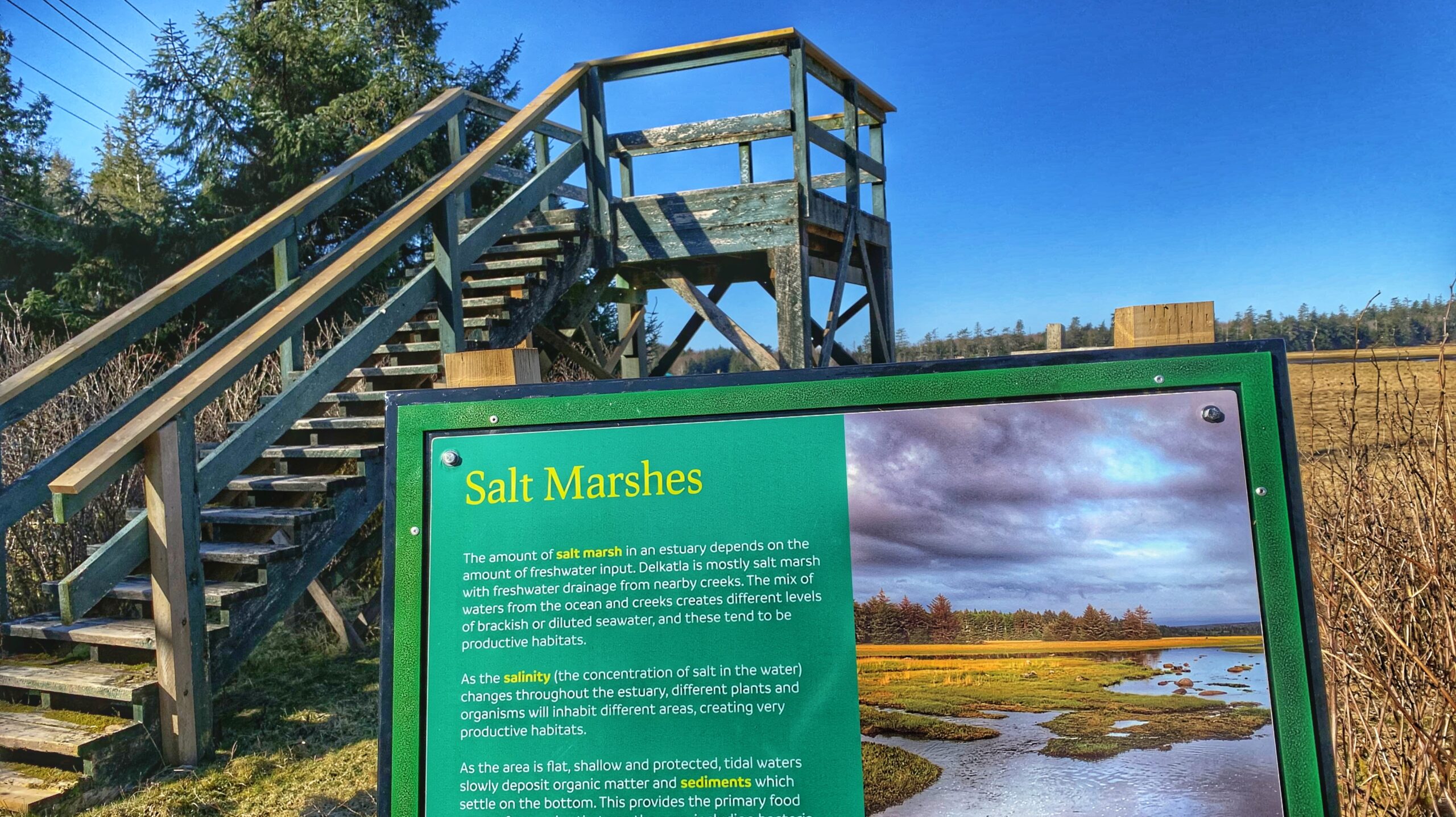
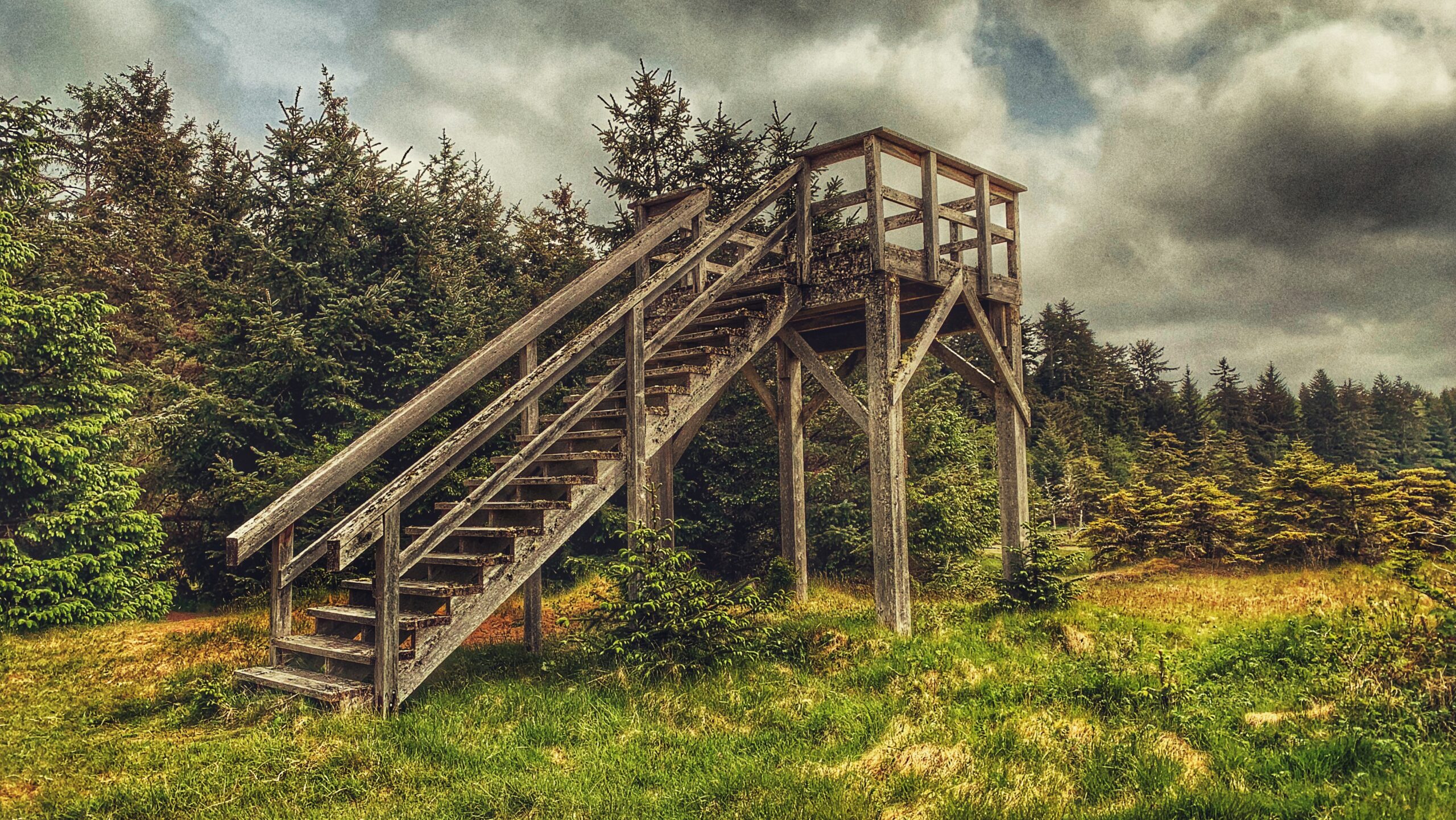
Described by the Village of Masset as “one of [its] main attractions,” the Delkatla Nature Sanctuary Trail was established in 1969 and is a 290-hectare intertidal wetland area that serves as a “critical migratory stopover for birds during spring and fall migration, an important wintering waterfowl area and home to many summer nesting species.” Since its establishment, some 50 years ago, over 140 species of bird have been observed here. We think the Nature Sanctuary is best appreciated as a two-part experience.
Every spring, millions of shorebirds leave their winter homes and fly north to nesting grounds in the Arctic region. A key migration route lies along the western edge of North America – the Pacific Flyway. Birds making the long journey will typically stop for a brief sojourn on Haida Gwaii at the Delkatla Sanctuary.
The Golden Spruce Trail is located approximately 10 minutes (3.5 km) outside the community of Port Clements and represents a brisk 20-minute roundtrip walk. Up until January 1997, the end of this short well-manicured trail led to a viewpoint whereby you could see and admire Kiidk’yaas, the Golden
Spruce.
The Watun River Road, which has also been identified as a trail elsewhere, is accessible just off the Watun River Bridge, approximately 20 minutes south of Masset. The road is roughly 400 meters in length but is often muddy.
Locating the Scout Lake Trailhead marker is an adventure in itself. To find this trail, you first have to hike the full Charlie Hartie Trail, which clocks in at approximately 800 meters one way and has an elevation gain of 160 meters. After about an hour of hiking, you’ll come upon the official terminus point of the Charlie Hartie Trail, as indicated by a fork and some signage. One arrow points left towards “Charlie Hardie,” but blowdown and lack of maintenance have made this route towards the creek virtually unnavigable. The right-pointing arrow, on the other hand, indicates the route to Scout Lake and, in effect, represents the trailhead.
The Monique Creek Trail, like the Three Mile Creek Trail, is found deep within the Tlall Conservancy. Accessing it in the current day requires a bit of effort because the original point of entry – Survey Forest Service Road – was formally decommissioned in 2016 after years of disuse.
The Kumdis River Trail is a short out-and-back route located approximately 2 kilometers outside the village of Port Clements. Like most trails on Haida Gwaii, the Kumdis River Trail lacks a formal trailhead; however, it is easy enough to find.
The Andrews Place Road Trail is a short out-and-back route located at the end of, well, Andrews Place Road in Tlell. The trailhead is not formally marked; however, it can be seen adjacent to a hydro pole at the end of the cul-de-sac, next to Sandy House. At just 250 meters in length, it only takes 5 minutes to complete this trail and emerge, first, onto the flat sand dunes and then the pebbly beach below.
The Blackwater Creek Waterfall Trails are a couple of hidden gems on Haida Gwaii. The two trails are short – clocking in at about 200 and 400 meters respectfully – and very remote; however, if one enjoys chasing waterfalls, these two routes are definitely worth the effort. As these trails are not well known, they do not appear in any of the literature available on Haida Gwaii.
The aptly named Masset Cemetery Road Beach Access Trail is exactly as it says: It is located adjacent to Masset Cemetery and provides straightforward access to South Beach. In this regard, it isn’t much of a hiking trail but serves a functional purpose. The trail is wide and flat, taking you through compacted sand and a few scattered spruce trees before hitting the beach.
The Louise Dover Trail is located adjacent to the Haans Creek bridge, just before entering Sandspit. Initially conceived in the mid-1990s, the trail is named after Louise Dover, an influential woman of Haida ancestry who lived in the community of Sandspit. In many respects, the trail is an apt memorial and tribute because it introduces hikers to key elements of Haida Gwaii: Important fish streams; unique flora and fauna; ancient Haida culture; rare geology and fossils; and, a larger appreciation for how everything depends upon everything else.
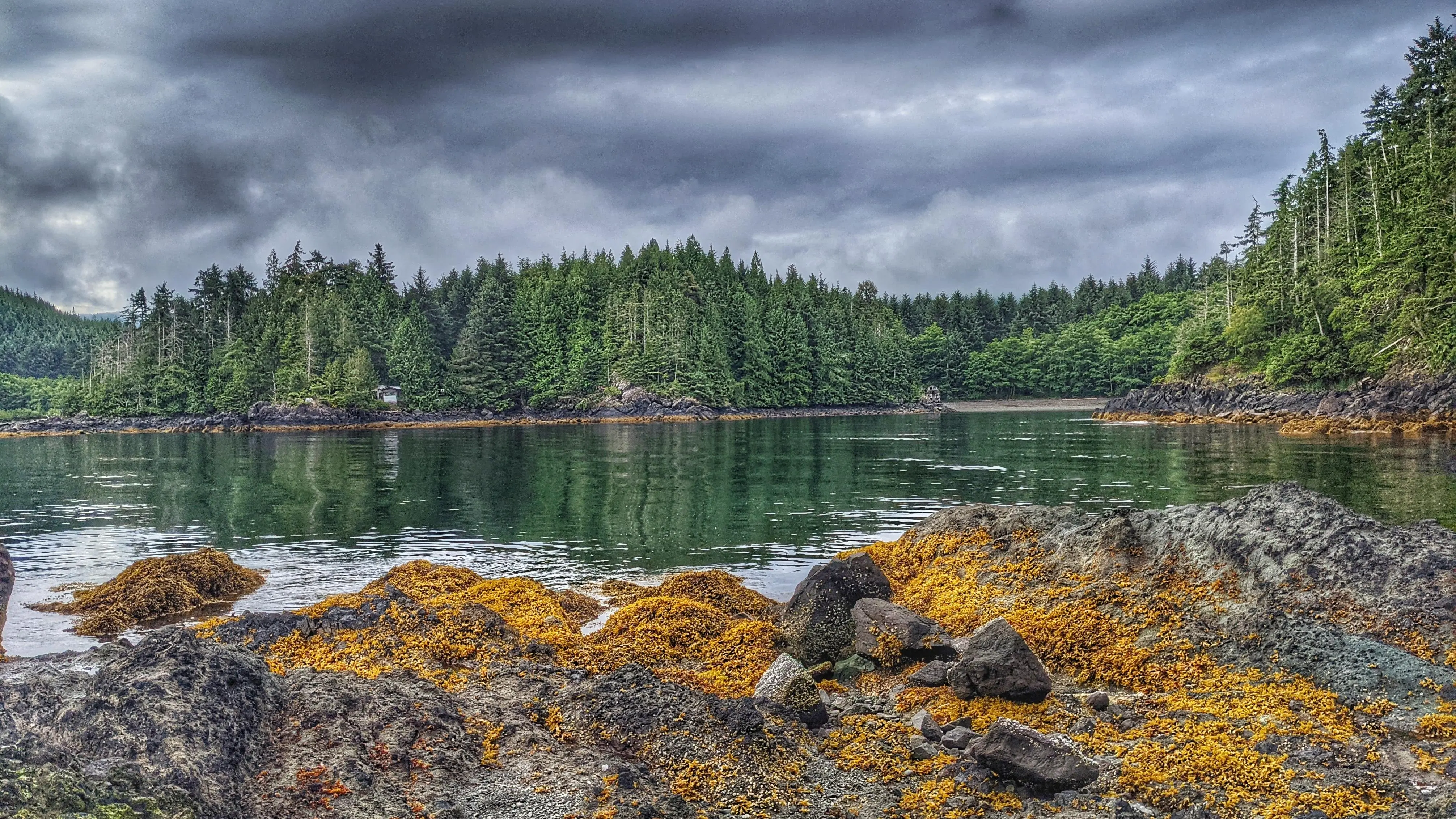
Smugglers Cove is tiny but its ease of access makes it far more attractive, in our view than the more popular Secret Cove. Smugglers Cove is literally right off the road whereas, with Secret Cove, you have to drive nearly an hour on rough logging roads and then hike a short trail.
The Three Mile Creek Trail is found deep within the Tlall Conservancy. Accessing it in the current day requires a bit of effort because the original point of entry – Survey Forest Service Road – was formally decommissioned in 2016 after years of disuse.
It might seem silly to write about the three Haida Gwaii Government Docks as trails – and believe me, I do feel kind of silly – but they are identified as “trails” in the Haida Gwaii Trails Strategy document (2011). I suspect this was probably done for funding purposes and to inflate the number of trails on the archipelago, though I’m not sure why one would need to do that.
Secret Cove Trail is relatively flat and an easy hike. After making your way through lush ferns, alders, and beautiful spruce trees, you’ll come upon the trail’s namesake cove. Once here, take a dip in the Pacific Ocean; however, we do advise you to keep your clothes on!

