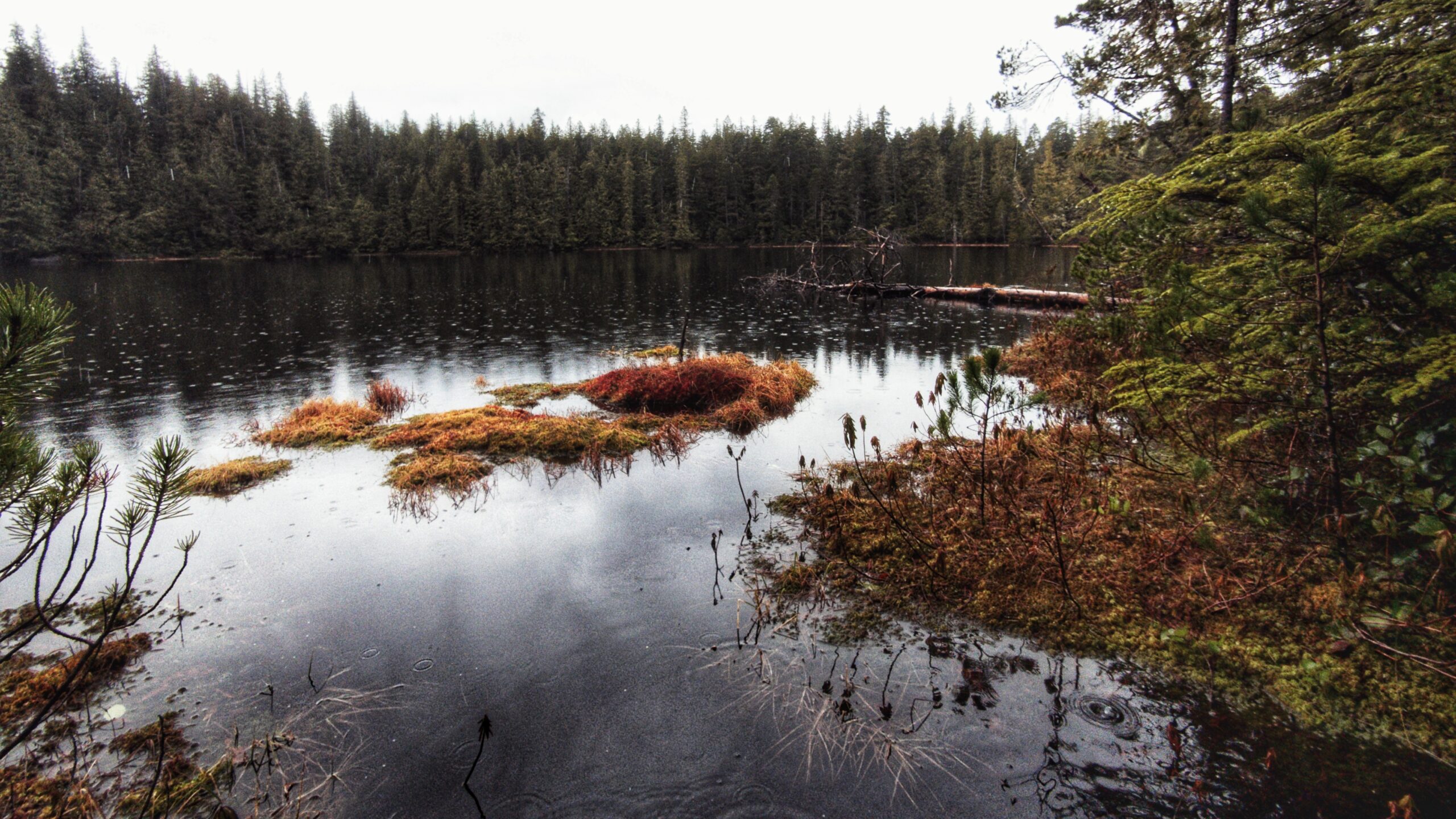
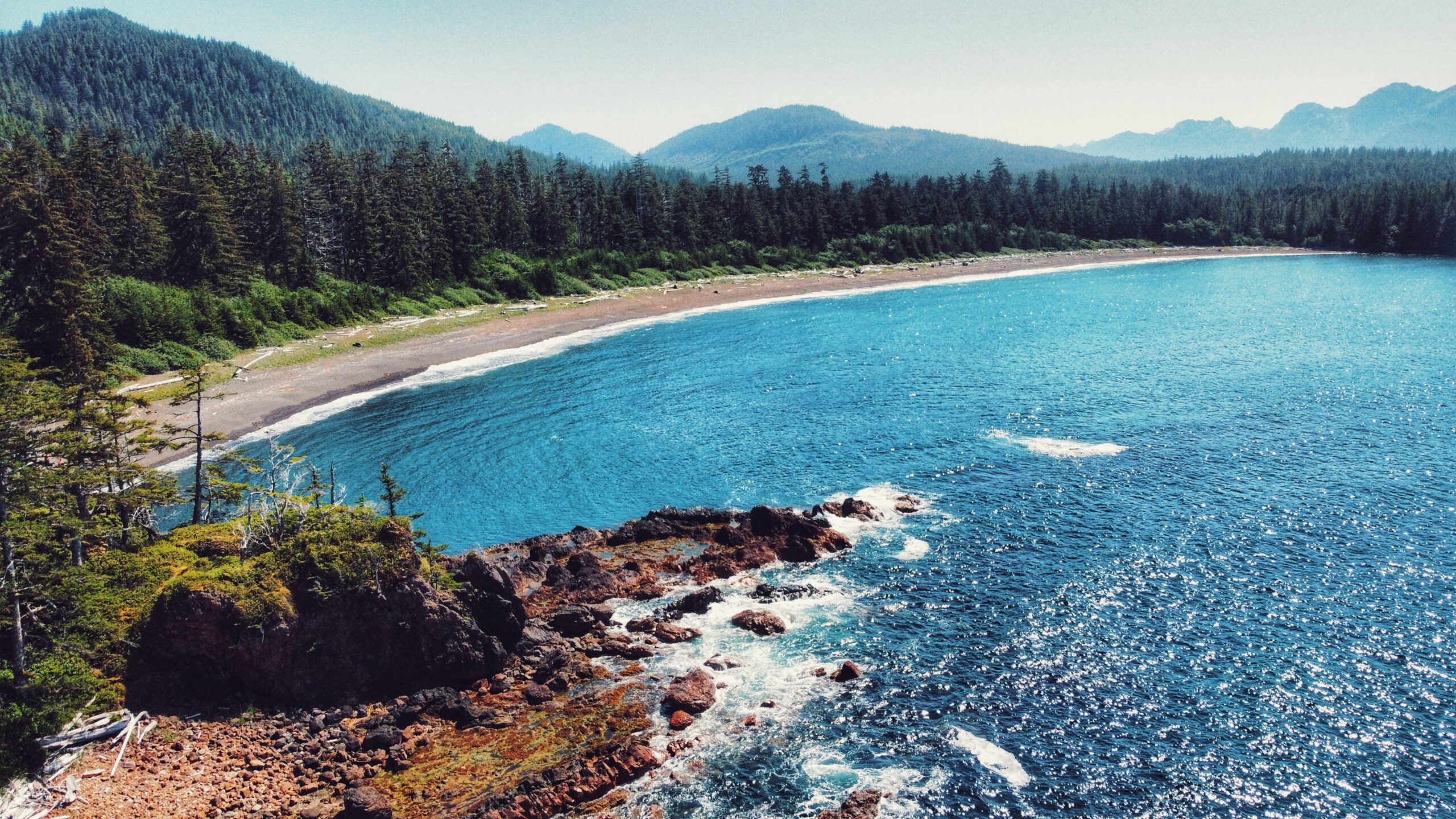
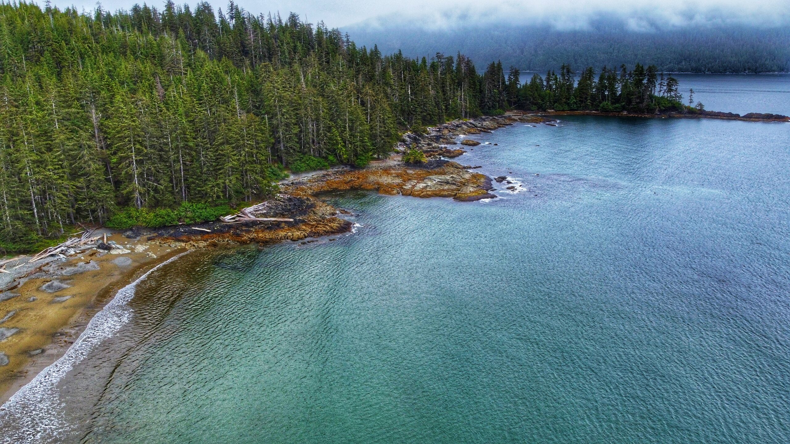
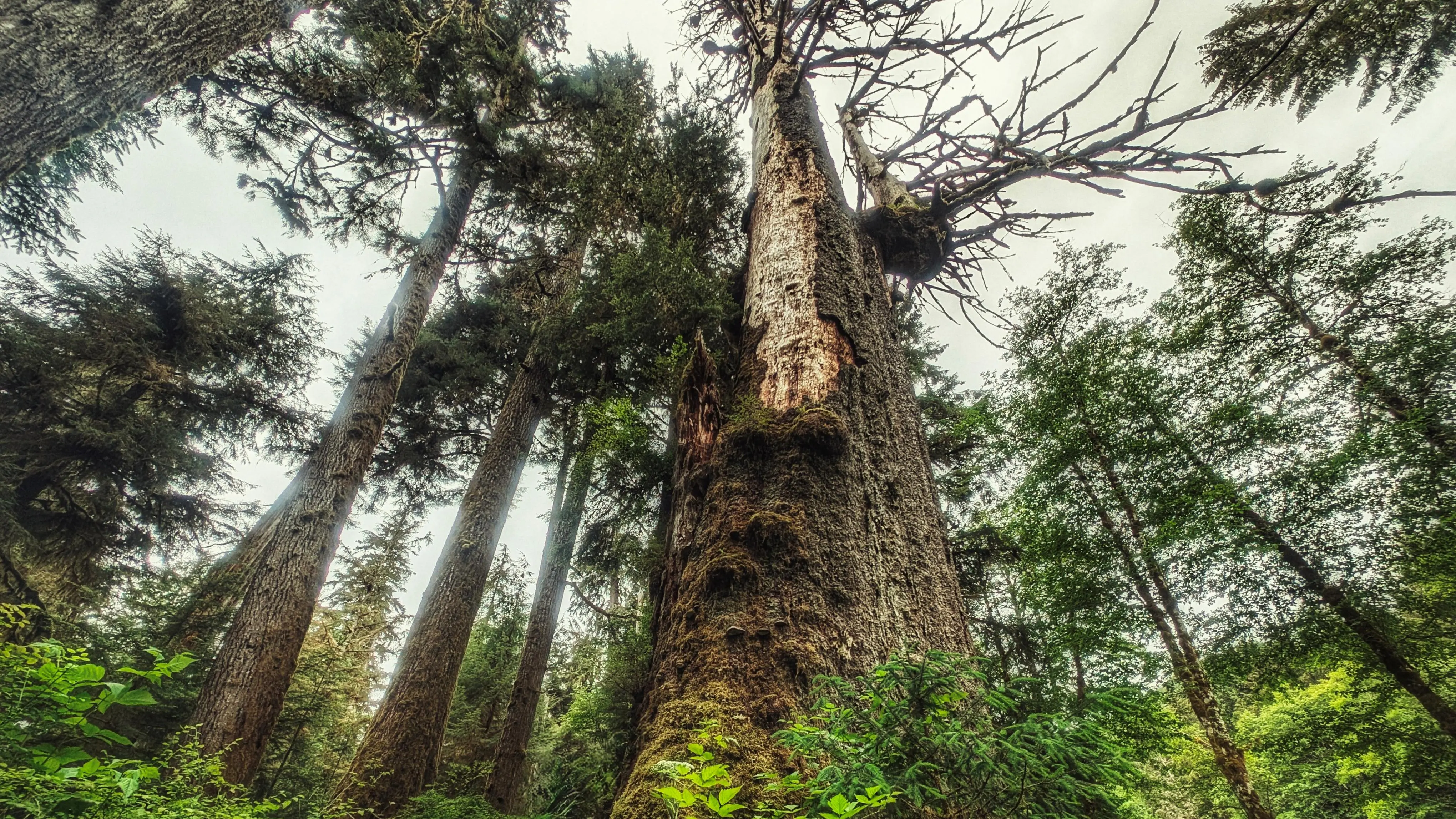
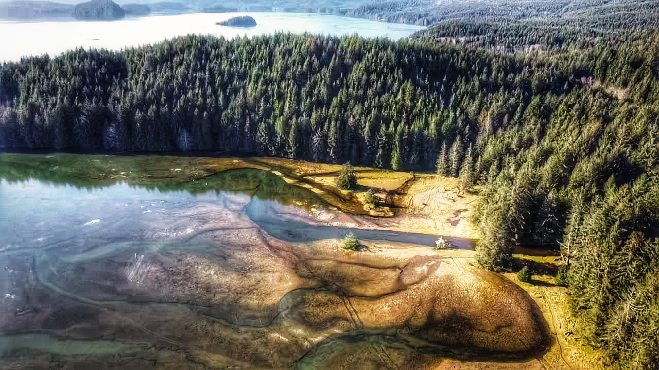
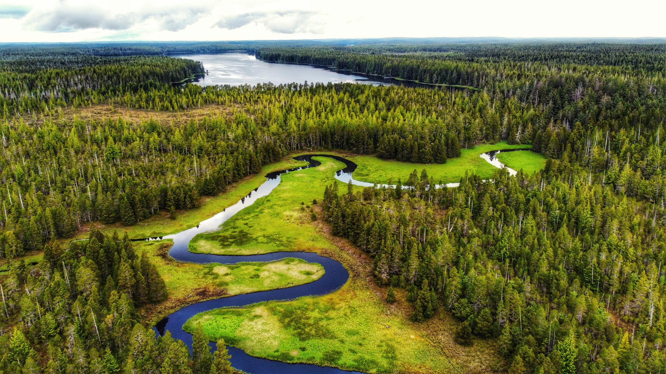
Discover a short but meaningful forest hike leading to unfinished Haida canoes and culturally modified trees (CMTs)— powerful reminders of the 1860s smallpox epidemic. This rough, unmarked trail just south of the Yaaguun Gandlaay Conservancy border offers a glimpse into Haida history, old‑growth cedar, and quiet bog‑lake scenery, making it one of the most culturally significant short hikes on the islands.
NOTE: Cellular service is available for most of the hike, less at the trailhead.
DIFFICULTY: Hard
DISTANCE: 5.3 kilometres one-way
Time: 3 hours one way
Route Type: Out‑and‑Back
Elevation Gain: 664 kilometres
Community: Daajing Giids
GPS Coordinates:53.261667, -132.215278
SUMMARY
A steep, rewarding climb above Daajing Giids, the Sleeping Beauty Trail leads to the ridge between Mount Slatechuck and Mount Raymond — the mountains whose silhouette resembles a woman resting, giving the area its “Sleeping Beauty” name. This challenging forest ascent offers big elevation, rugged terrain, and sweeping views over Skidegate Inlet, making it one of Haida Gwaii’s most iconic summit hikes.
An easy beachwalk with access to the clear waters of Gregory Creek at the end
The mossy forest short trail towards Gregory Beach
Gregory Beach at eye level with its pebbly beach
Gregory Beach Features: Easy access to Gregory Creek Conehead view
NOTE: Rennell Sound is subject to variable weather conditions, heavy rainfall, and landslide risk, particularly from September thru May. Be prepared for emergencies and road closures during weather events.
ABOUT
Located within the Duu Guusd Conservancy, Gregory Beach offers a lovely sand and pebble beach for those wishing to relax and experience the dynamic environment that is Haida Gwaii’s rugged west coast. At the beach’s north end you will find Gregory Creek, which is home to spawning salmon in August and September. The small Gregory Beach campsite is located opposite the creek.
As described by Haida Hereditary Chief Gidansda, Duu Guusd “stands as a testament to the power of the earth” and “maintains all of the elements that spawned the Haida cultural heritage.” Indeed, the conservancy is huge, clocking in at 229,107 hectares in size (144,934 terrestrial and 84,173 foreshore), and stretching from the western side of Naden Harbour to Langara Island, and south to Rennell Sound. It should come as no surprise that Duu Guusd is an area rich in cultural values. 39 village sites or seasonal camps have been identified; 88 registered archaeological sites have been noted, including CMts, shell middens, habitation caves, burial sites, and blank canoes; the area is rich in unique geological formations from antiquity; and it is home to some of the most productive marine habitat on all of Haida Gwaii. The intertidal pools – prominent at the Conehead Recreational camping site – provide a beautiful and vivid example of this latter point.
To reach Gregory Beach, and others in the area, one requires a good deal of patience and a high clearance vehicle because the old logging road out to Rennell is in poor shape and rife with large potholes. Once you make it, however, you will be rewarded with some of the most beautiful beaches anywhere in the world.
If traveling from Daajing Giids, drive approximately 22 kilometers along the QC Mainline (use appropriate caution as these are active logging roads). You will come upon a blue sign with white text pointing you WEST towards the Duu Guusd Conservancy and Rennell Sound. You are now on the Rennell Sound Forest Service Road. From here, it is a 15 kilometer drive towards the Sound. Along the way, you will drive through Rennell Pass, including Rennell Hill with its steep 25% grade. While there is no longer active logging in this area, it is strongly recommended that you still drive with caution because the Rennell FSR is narrow and filled with significant potholes. For this reason, a high clearance vehicle is suggested.
LOCATING THE TRAILHEAD
Once at the bottom of Rennell Hill, you will come upon the Rennell Sound Recreation Site. From here, drive north for approximately 13 kilometers along the Rennell FSR. You will pass the trailhead signs for Five Mile Beach and Riley Creek before finally coming upon the Gregory Beach trailhead marker. There is a small pullout with enough room for two or three vehicles to park. Welcome to the Gregory Beach Trail!
HIKING THE TRAIL
The trail to Gregory Beach is brief at only 300 meters one-way. It should take approxim?ately 5 minutes to reach the beach. As you hike this brief path, which takes you through some nice shoreline forest, be cognizant of some muddy sections; otherwise, the single-file trail is mostly clear and an easy walk. It is also the only trail within Rennell Sound to feature the Ben Davidson Haida trail marker. Once you reach the beach, enjoy the rugged beauty of Haida Gwaii’s west coast: Surf the waves, swim in the ocean, comb the beach, or have a picnic (please pick up after yourself). As you relax in this oasis of calm, it is easy to lose all sense of time . . . and that’s okay.
The flat beach on the left and the rocky beach on the right
The clear calming sound of Riley Creek along the trail
Mossy section of the trail
Riley Creek spilling into the sea
Riley Creek Trail Features: Old Growth Trees Multiple access to Riley Creek Pristine beaches
NOTE: Rennell Sound is subject to variable weather conditions, heavy rainfall, and landslide risk, particularly from September thru May. Be prepared for emergencies and road closures during weather events.
ABOUT
Located within Rennell Sound and the Duu Guusd Conservancy, the Riley Creek Trail offers hikers a substantive walk through riparian old growth forest, which terminates at a secluded sand and pebble beach. According to Dalzell, Riley Creek was named after the engineer who “surveyed the proposed railway route to the west coast of Graham Island.” The trail is not formally maintained, so be prepared for potentially challenging conditions as a result of blowdown.
To reach the Riley Creek Trail, and other trails in the area, one requires a good deal of patience and a high clearance vehicle because the old logging road out to Rennell is in poor shape and rife with large potholes. Once you make it, however, you will be rewarded with some of the most beautiful beaches anywhere in the world.
If traveling from Daajing Giids, drive approximately 22 kilometers along the QC Mainline (use appropriate caution as these are active logging roads). You will come upon a blue sign with white text pointing you WEST towards the Duu Guusd Conservancy and Rennell Sound. You are now on the Rennell Sound Forest Service Road. From here, it is a 15 kilometer drive towards the Sound. Along the way, you will drive through Rennell Pass, including Rennell Hill with its steep 25% grade. While there is no longer active logging in this area, it is strongly recommended that you still drive with caution because the Rennell FSR is narrow and filled with significant potholes. For this reason, a high clearance vehicle is suggested.
LOCATING THE TRAILHEAD
Once at the bottom of Rennell Hill, you will come upon the Rennell Sound Recreation Site. From here, drive north for approximately 12 kilometers along the Rennell FSR. You will pass the trailhead sign for Five Mile Beach before coming upon the Riley Creek trailhead marker. There is a small pullout with enough room for two or three vehicles to park. Welcome to the Riley Creek Trail!
As you get ready for the hike, you will undoubtedly read the information contained on the trailhead sign. Please note that key information on this board is incorrect. First, while the trail is marked throughout, the Ben Davidson trail marker is not used; rather, it is a mix of flagging tape ad orange squares. Second, the stated length of the trail – 2.3km one way – is off by a significant margin. Other sources indicate the route to be 2 kilometers, 5 kilometers and 10 kilometers one-way; however, none of these are correct. The actual length of the trail, one way, is 3.44 kilometers. As such, one should ensure they’ve brought sufficient water and snacks for this trek through the forest.
HIKING THE TRAIL
The Riley Creek Trail is the only substantive hiking trail within Rennell Sound where the trail itself functions as the attraction (with the other three, the trails are secondary to the beaches). While not formally maintained, the path is obvious and generally well-marked. When we hiked the route, there were only a couple of spots – just past the mid-way point – where we had to take a moment to locate the trail thanks to blowdown.
As you hike the riparian wilderness, take time to appreciate the lush flora that surrounds you. Much of the Riley Creek route is covered in thick green moss, which gives the environment a fairy-like atmosphere. Combine this with the gentle lull of the creek and you have all the ingredients necessary for a relaxing stroll through Haida Gwaii’s rainforest.
We should note that, even during dry conditions, parts of the trail can be quite miry. There are boardwalks and stepping blocks to assist with this, but even these should be used with caution. The boardwalks are old and some have been compromised; the stepping blocks, while solid, are extremely slippery and pose their own hazard. In addition, there are numerous sections of blowdown along the way. Most of it is minor and easy to navigate, but there are at least two areas with fairly significant deadfall on the trail: About 45 minutes in, while walking along a ridge, you’ll notice a large spruce has toppled over and ripped out a large section of the trail. We briefly thought about turning around at this point, but carefully navigated around the fallen tree and returned to the trail. Then, about 40 minutes later, you’ll come upon this area with a clutter of fallen alder and spruce. It’s easy enough to duck around these, but it does make the trail a little difficult to follow – at least momentarily.
About 500 meters out from Riley Beach, the trail splits. At this point, you have the option of crossing Riley Creek and continuing along the southern side of the creek towards the beach OR staying on the north side of Riley Creek and continuing to the beach via this route. One should only cross Riley Creek when water levels are low. If you choose not to cross the creek, you will still get to the beach. After such a lengthy and somewhat challenging trek through the woods, Riley Beach provides the perfect spot for a bite to eat and re-charge before hiking back to your vehicle.
The 2009 title holder for biggest Sitka Spruce in BC
Yakuon River inviting you to fish
One of the trees in the grove dwarfing some hiking companions
Yakuon Old Growth Sitka Spruce Grove Features: Yakuon River fishing spots Old growth trees
ABOUT
Yakoun Old Growth Sitka Spruce Grove – this grove of beautiful old growth trees is situated along the Yakoun River, near the “30 mile” marker. Together these trees give a small glimpse of what was common place in Haida Gwaii’s forests before unfettered logging practices destroyed large areas of old growth on the archipelago.
Perhaps the most famous of the old growth trees in this area is the one known as the “Bellis Spruce,” which is named after Skil Q’uas Dick Bellis. A self-described “BSer,” Mr. Bellis spent most of his working life in the forest industry as a heavy duty mechanic. He was also a notable carver. Perhaps his most well-known piece is an eagle sculpture carved in 1993 in memory of his brother, Ted. The eagle sculpture sat at Jungle Beach, next to the Black Bear, carved by Ted, until it mysteriously vanished in 2001 (the aging Black Bear vanished in 2023). Thought to be lost forever, the sculpture was found in Prince George in 2009 and returned to the Bellis family. In his later years, Dick Bellis served as a guide for tourists visiting Haida Gwaii. Along with jaunts to Rennell Sound, Bellis often took his guests to the Yakoun River to view the giant Sitka Spruce, which he’d say was “the biggest tree they’ll ever see.” And he was probably right.
Estimated to be approximately 750 years old (BC Forest Services does not have an increment bore large enough for a more accurate age), with a circumference of 45 feet and a height of just over 68 metres, the “Bellis Spruce” puts everything into perspective and highlights, in microcosm, the essence of Haida Gwaii. The giant Sitka Spruce gained significant attention in 2009 when it was officially recognized as the largest Sitka Spruce in BC – a title it held for a couple of years. Unfortunately, the “Bellis Spruce” was declared dead in 2011; however, it is still standing and leaves those lucky enough to find it in awe.
LOCATING THE TRAILHEAD
There is no formal trailhead marker for this short trek into the Yakoun Old Growth Sitka Spruce Grove. If you wish to locate the Bellis Spruce and its surrounding grove of giants, you must drive approximately 30 kilometers outside of Daajing Giids along the QC Mainline logging road. At this point, the Yakoun River will be clearly visible on your RIGHT. Look for a suitable place to pull over, walk through the woods, and safely cross the Yakoun River. About a decade ago, a large log functioned as a natural “bridge,” but it has since washed away. As such, one should only try crossing the Yakoun when the river is low – typically during the late summer months.
HIKING THE TRAIL
As noted, this is not a formal trail of the Yakoun Old Growth Sitka Spruce Grove; however, you should see a vague path once you cross the river. It will lead you to an old de-activated road. The grove of old growth Spruce is facing the river. Take your time and explore these monumental trees. You will feel dwarfed in their presence, but this is forest therapy in the best sense of that term! Use caution as it is often difficult to see where you are stepping.
Tarundl Lookout Trail Features – Views of Bear Skin Bay -Challenging Rope Sections -View of the Tarundl Flats
ABOUT
The Tarundl Lookout Trail, located west of Daajing Giids (less than 10-minutes by car), and along the Honna Service road, you will find the Kagan Bay Day Use Recreation Site at about the 2-kilometer mark. The site features a picnic table, fire ring and beach access. At low tide, one could walk quite a distance onto the beach. Here you will also find the Tarundl Creek network of trails (see our earlier write-up here). It is also at this site where you can park your vehicle to begin a moderate-level hike towards an attractive and compelling lookout.
TRAILHEAD
Unlike the more popular Tarundl Creek loop trail, the Tarundl Lookout Trail does not have formal trailhead signage; however, it is easy enough to find:
Park your vehicle at the Kagan Bay Day Use Site.
Walk directly across the Honna Forest Service Road from the Day Use Site.
You should see some candy cane-patterned tree tape, which signifies the start of the trail.
Welcome to the Tarundl Lookout Trail!
HIKING THE TRAIL
While the trail is fairly short at just over 1 kilometer in length, it is a steady uphill climb the entire way. The trail begins with a gentle slope, but this gets steeper further on. The route is a little rough, but is well marked with orange tree tape the entire way. Hiking through the ferns, young hemlock, and occasional spruce, the terrain reminds us of the Jags Trail @ Spirit Lake. As you hike, use caution because the trail is also muddy and slippery in some areas.
Be prepared for six rope sections. Most of these are short, and designed to help you over minor obstacles, but the final two – just before you reach the zenith – are essential in helping you reach the viewpoint safely. Once at the top, follow the narrow trail to a couple of viewpoints of the Tarundl Flats and bays down below. Please use caution while you are here as there are no ropes in place as a safety measure. After taking in the view, return the way you came!
The trail is a good winter walk on old deactivated logging roads
This view is on the road walk back to the Hatchery building
The trail is marked well with white triangles thank to local trail hero, Remi Gauthier
Some brooks and streams on the trail
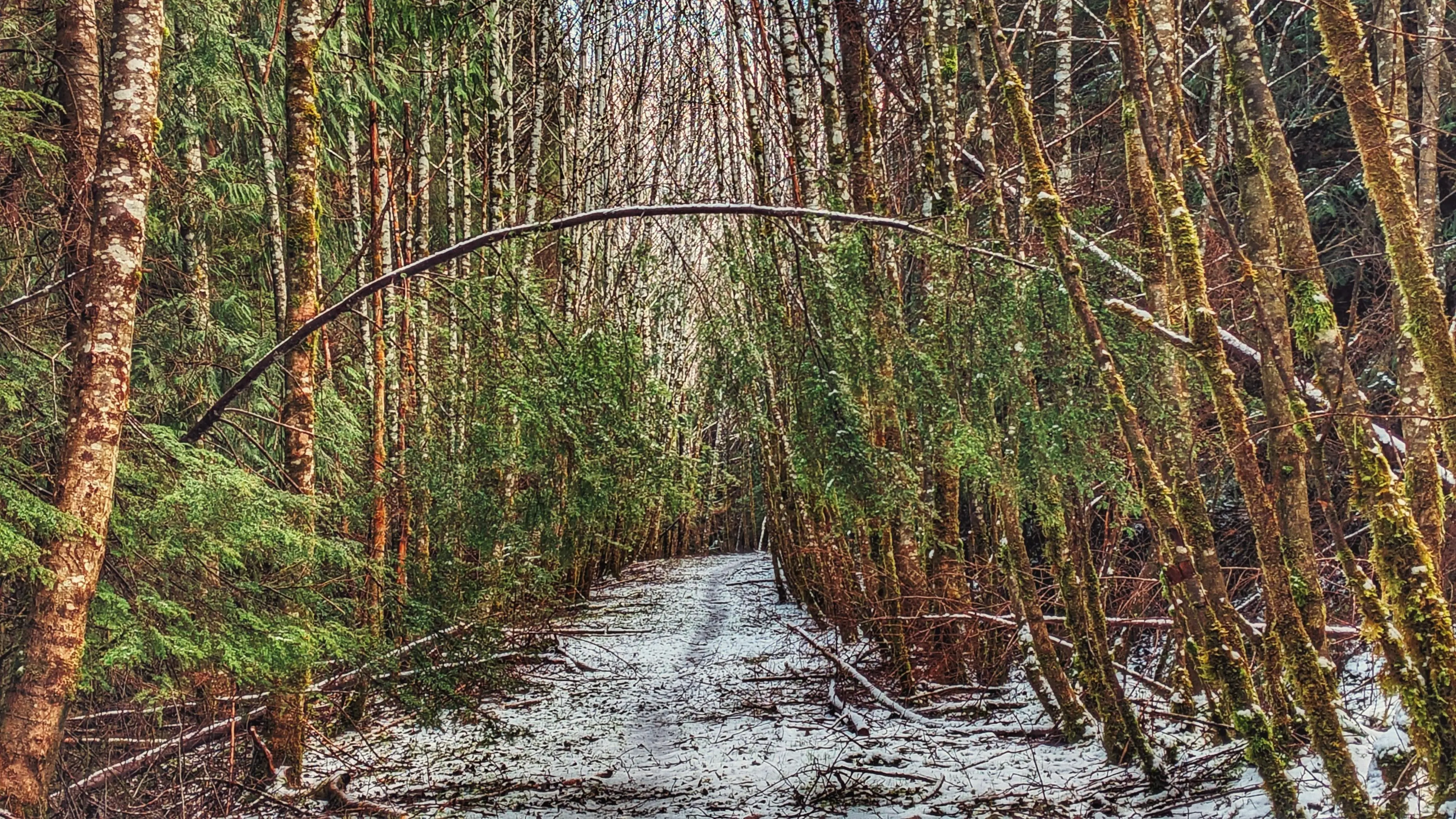
Feel lucky to find some “forest arches” along the way
Hatchery Loop Trail Features Connects to numerous trails in area Trailblazed by Remi Gauthier Old logging road
ABOUT
The Hatchery Loop Trail is another route developed by local hero and trail-builder, Remi Gauthier. The trail takes hikers along the “high road,” an old deactivated logging road, and gives the adventure-minded many options for completing the route: You can treat it as a large loop and come back hugging the highway; or, you can use the Hatchery Trail as a “connector” and branch out to other routes, including the Sachs Creek Trail, Around the Pond and Onward Point, amongst others.
We initially came upon this trail by chance in the summer of 2022. En route to an enjoyable repast at Raincoast Breads, we spied a small white marker on the side of Alliford Bay Road denoting “Fish Hatchery Trail.” We observed no safe place to park at the time given the marker was near a soft corner. It wasn’t until the end of 2023, while reading the newly updated Sandspit Community Society’s “Hikes and walks” page, that this trail starts near the Sandspit Salmon Enhancement Society’s hatchery building.
LOCATING THE TRAILHEAD
The trailhead marker for the Hatchery Loop Trail is fairly understated and is, therefore, somewhat easy to miss if you’re not already looking for it. First, park your vehicle at the hatchery building. As per the Sandspit Community Society, “1 or 2 vehicles can park max” and “Please leave the hatchery accessible to volunteers and helpers.” Once settled, walk back out onto the main highway and trek south (LEFT) for about 80 meters. At this point, you will see an old road to your left with a white rectangle marker on a nearby alder tree. Welcome to the start of the Hatchery Loop Trail!
HIKING THE TRAIL
Most of the route follows a deactivated logging road; so, it’s fairly easygoing. It had snowed the night before our planned hike; as a result, much of the road was covered in a thin layer of snow and ice but this did not detract from the experience. Just a few feet in from the trailhead, you will note a series of white markers: Some pointing east and others pointing south. Going south will take you along a rough, but short trail to what we’ve called the Sandspit Waterfall. Trekking east will continue taking you along the Fish Hatchery route.
At about the 200-meter mark, you will see another directional trail marker. It points north (or LEFT) to “Jason’s Mill Rd” and south (or RIGHT) to Sachs Creek. Walking south for about a kilometre will eventually connect you to the informal Sachs Creek Trail; however, if you wish to hike the Hatchery Trail, you must trek north along “Jason’s Mill Rd,” also known as the “high road.” From this point, you follow the old road north for just over 3.5 kilometres. The hike is easy – peaceful – and takes you through a variety of forests and trees, though the primary types observed include alder and spruce trees. The hike promised “some views of Skidegate Inlet through the trees,” but we did not observe this at any point because the trees along the road, and on the forest trail, were too dense.
While the hike is pretty straightforward, we do recommend hiking this route with an app like BRMB. Once you start trekking north from the “Jason’s Mill Rd” marker, there are no further trail markers along the route until you’re about ready to re-emerge onto the highway and shoreline. The app will help you stay on the correct road – there are at least four “forks” along the trail that could potentially lead you astray (the last of these is another “connector” towards the Around the Pond/Onward Point network of trails).
According to the map available on the Sandspit Community Society webpage, there are two options for completing the loop trail: A forest hike that hugs the highway or a much easier trek along the shoreline. We chose the latter as we were unable to locate any trail markers for the forest route. In any event, as you complete the loop along the shoreline, you will spy at least two “Fish Hatchery” trail signs along the Highway – these take you through the forest, re-connecting to the old road. Regardless of which route you take, you will end up back at the fish hatchery!
Note: The Hatchery Loop Trail route is outlined on Gaia GPS. You can view the route online by activating “public trails” on the Gaia GPS website. Unfortunately, as of 2024, the “Overlays” function does not appear to include “public trails” in the app version of Gaia GPS anymore.
The forest hides the waterfall from view when the foliage grows
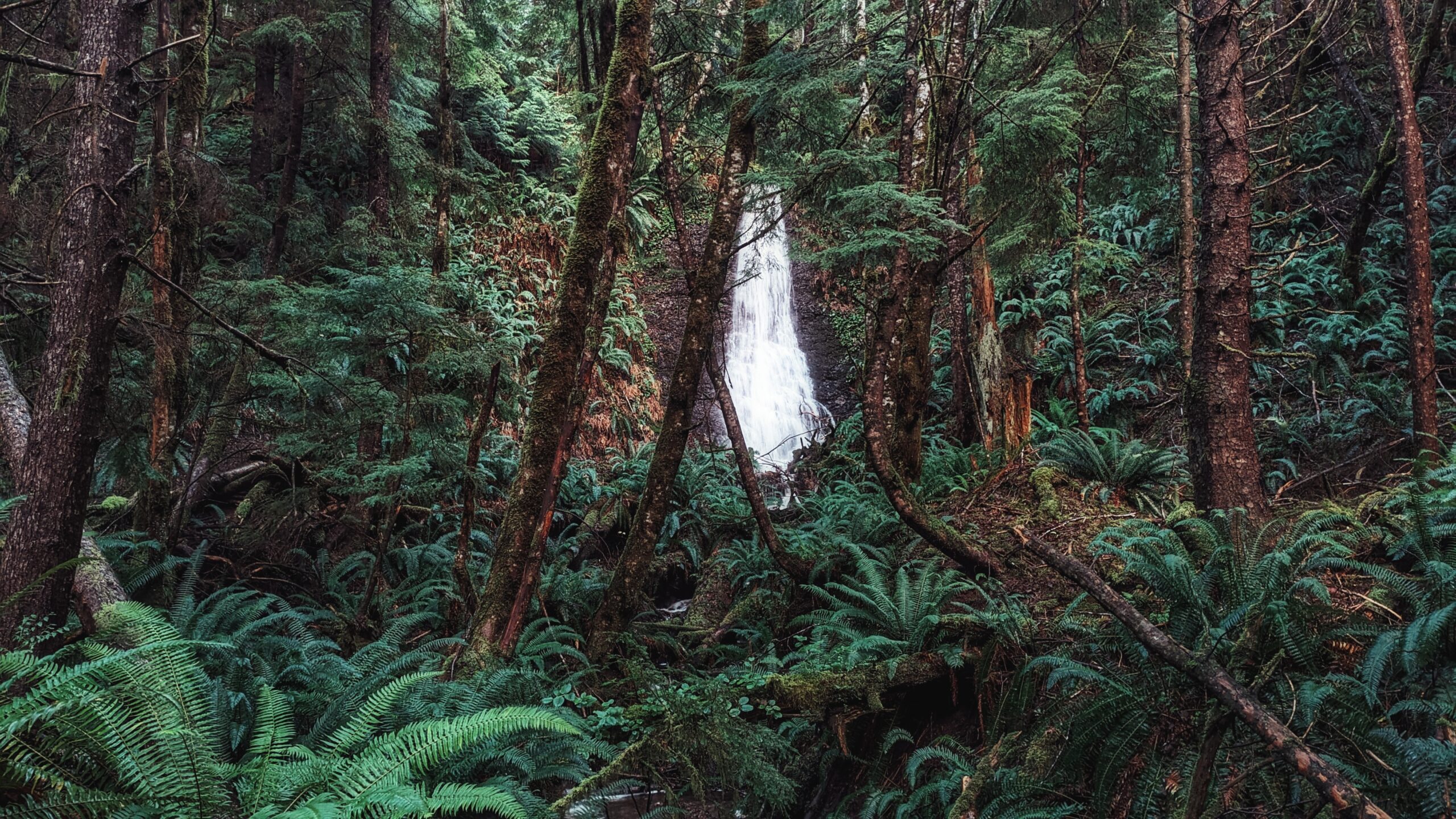
A closer look of the waterfall
Moresby Waterfall Trail Feature: Along the highway access Less than five minutes hike Gorgeous waterfall
ABOUT
The Moresby Waterfall Trail first came to our attention a couple of years ago. We were given a map of Moresby-area trails and one of them identified a “waterfall” just off the side of the highway between the BC Ferries waiting area and Sandspit. Eager to explore and find this waterfall, we set out in mid-Autumn 2021.
Unfortunately, the coordinates were a little off and we just ended up trudging through the bush before calling it a day and photographing Fall foliage in Sandspit as a consolation prize. Fast-forward to the end of 2023.
LOCATING THE TRAILHEAD
Haida Gwaii had endured a series of winter storms, which took down several trees. As we drove towards Sandspit, we spied a glimpse of the waterfall from the road! Deciding the hike wouldn’t be long (nothing more than a few minutes), we pulled off to the side of the road and hiked the short trail toward what we’ve called the Moresby Waterfall.
There are no notable landmarks to help identify where the trailhead is. If you’re not already looking for it, chances are you’ll drive right on by. Once you park safely off the side of the road, you should spy two alder trees behind a group of feisty ferns. One of the trees features a double white diamond marking with some yellow tape attached to the lower diamond. Welcome to the Moresby Waterfall trailhead!
HIKING THE TRAIL
Surprisingly, the short trail is denoted with white diamond-shaped markers all the way through, which leads us to believe this route was created by local trailblazer Remi. Follow the white markers the length of the trail towards the waterfall. At about the mid-way point, there is an option to cross a small creek and visit the eastern side of the waterfall; however, because we lacked proper footwear (this was an impromptu stop), we opted to stay on the western side of the creek. After walking a mere five minutes, your efforts are rewarded with a beautiful cascading waterfall – up close and personal. Just be sure to use caution when walking the path near the waterfall as it is quite slippery and muddy.
The trail, while very short, is informal and user-maintained. There is plenty of deadfall to navigate en route to the falls; however, it is nothing major. While here, take a few moments to enjoy the slight rumble of the falls and the comforting silence of the forest that surrounds you. Forest therapy 101!
Note: The waterfall may not be as prominent during extended periods of drought.
Aerial view facing towards Bear Skin Bay on the horizon
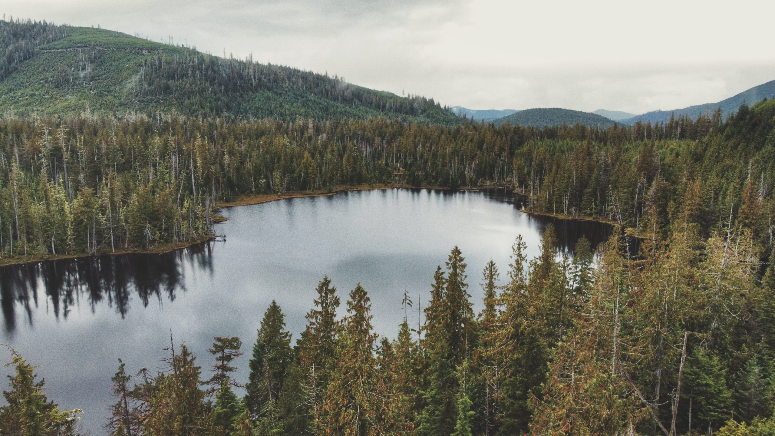
Small Lake in eye level
Some evidence of a past forest fire?
Boggy environment for exploration around the lake
Small Lake Features: Boggy explorations Old Forest Fire Remnants A most likely Elks’ destination
ABOUT
Small Lake came to our attention after perusing an early edition of Fern Henderson’s Trail Hikes and Beach Walks. We got curious about this trail because it is not mentioned in the Haida Gwaii Trails Strategy (2011), nor is it mentioned in the last edition of Fern Henderson’s text (2005). Thus, we made it a point to explore this hike and see if the trail still existed since – we presumed – it probably was not being maintained.
LOCATING THE TRAILHEAD
Getting to Small Lake can be a little tricky: Drive west of Daajing Giids along the Honna Forest Service Road. Follow the Honna FSR north, past the Sleeping Beauty trail signage. The road gets fairly steep, so make sure you are driving a truck or capable SUV. A small car will not be able to complete the drive.
After driving for approximately 9.23 kilometres, or 20 minutes, you should notice a fairly obvious pullout to your RIGHT. We came upon this quite by chance. As we were driving up the narrow road, we spied what looked like an old spur road and assumed that’s where we’d have to walk to find Small Lake. We drove a few feet further and saw the pullout – that’s when we saw the unmarked trailhead! Talk about a stroke of luck!
HIKING THE TRAIL
The trail to Small Lake is unmarked, but obvious, and takes about 10 minutes to complete. It is single- track and muddy, so one should use caution. The environment is one of young Sitka Spruce, some moss, huckleberry bushes, and other flora typical of a bog environment. Once you arrive at Small Lake, the grounds are soggy (bog), but dense with Labrador Tea and sundews. In early editions of Trail Hikes and Beach Walks, Fern Henderson notes that Small Lake is “an interpretive circle walk [. . .] through virgin forest.” The brochure she mentions is long gone, but it is still possible to walk a circle around the lake.
The trail around Small Lake has been completely overgrown, but it is possible to identify the odd white trail marker on dead cedars that are still standing. At the time we did our hike, we only walked about halfway around the lake before turning around due to torrential rains. Given the size of Small Lake, we would anticipate it would take no more than 35-40 minutes to complete the circle.
At the time Fern Henderson wrote her text (1978), she noted the lake was a popular place for swimming, fishing, berry-picking and picnicking. While one can certainly still do those things, it’s probably not a beehive of activity these days; however, it is obvious that somebody still uses Small Lake as a recreational site. When we visited, there was clear evidence of a recent campfire and a small boat nearby.
Of note: Elk appear to frequent the area. As we ambled about the lake, we spied numerous elk droppings along the boggy ground.
The aerial view of Gold Creek towards the Mayer Lake
The smooth curvy placid waters of Gold Creek
Water lilies abound in summer just before reaching Mayer Lake
The initial part of the trail that shows the winding creek on the right side
Gold Creek Trail Features: Muskeg terrain and flora Winding creek Entry to Mayer Lake Homestead remnants
NOTE: Gold Creek often floods during the wet season, making the route inaccessible. We, therefore, recommend it as a summer-only hike.
ABOUT
Gold Creek Trail meanders through Muskeg, crosses the highway between Tlell and Port Clements (the old “Mexican Tom Trail”), and eventually flows into the south end of Mayer Lake via the Mayer River. The trail is informal – unmarked – and is typically begun at the Mayer Lake Day Use area; however, we decided to go against the grain and commenced our hike of this informal route at the “Gold Creek” bridge, just along Highway 16.
WHY GOLD CREEK TRAIL?
Unfortunately, you’re not too likely to find any gold along the banks of Gold Creek. According to Dalzell (1973), the name “Gold Creek” is simply a carry-over from the days when the Mayer River – which you’ll also pass by before reaching the south end of Mayer Lake – was called “Gold Creek” after an old prospector believed he’d found gold at the river’s mouth. The ungazetted name was given a bit of official status after the Department of Highways immortalized it on their bridge signage.
THE HIKE
We parked our vehicle on the shoulder at Gold Creek Bridge and started hiking on the west (LEFT) side of the creek. As noted above, the trail is informal and sans marker, but all you have to do is follow the creek until you reach the south end of Mayer Lake. The area around the creek is delicate muskeg, so a good pair of boots or waterproof shoes is recommended.
As you amble about the meandering creek, pay close attention to the fragile environment in which you’re walking: Labrador Tea, Sundews and other bog flora are not uncommon. Quite early on in the hike – at around the 10-minute mark – you will also spy two fence posts, from days gone by, on either side of the creek. We wonder what these were used for.
After about an hour, we reached the “junction” where Gold Creek meets the Mayer River. At this point in the hike, you enter a small forested area before re-emerging at the point where the Mayer River meets the south end of Mayer Lake. As you walk along the shore of Mayer Lake, an actual trail is finally visible. You will also likely notice some deer exclosures on the forested side (to your left). These are quite new, having been installed in 2022 in an effort to restore and protect k’ay trees (Crab apple) – the only native fruit trees on Haida Gwaii.
We concluded our hike at the Mayer Lake Day Use Area just as the sun was setting. The serene calm was interrupted by a beaver splashing its tail in the lake. To save time, we walked back along the dirt road and along the highway to our vehicle at the Gold Creek Bridge.
Of course, most people who choose to do this hike are more likely to begin at the Mayer Lake Day Use Area. In that case, once you reach the Gold Creek Bridge, you can simply return the way you came or walk back to the Day Use site via the Highway. Regardless of where you begin, we encourage you to take your time along the banks of the creek: The environment is so unique and so calm that one cannot help but admire the natural beauty that surrounds you. On a clear day, the waters of Gold Creek resemble that of a mirror!
DIFFICULTY: Easy TOTAL DISTANCE: 1.8km (one-way) TIME: 1 hour and 20 minutes TYPE: Out-and-Back ELEVATION GAIN: None
Cookie Consent
We use cookies to improve your experience on our site. By using our site, you consent to cookies.
Contains information related to marketing campaigns of the user. These are shared with Google AdWords / Google Ads when the Google Ads and Google Analytics accounts are linked together.
90 days
__utma
ID used to identify users and sessions
2 years after last activity
__utmt
Used to monitor number of Google Analytics server requests
10 minutes
__utmb
Used to distinguish new sessions and visits. This cookie is set when the GA.js javascript library is loaded and there is no existing __utmb cookie. The cookie is updated every time data is sent to the Google Analytics server.
30 minutes after last activity
__utmc
Used only with old Urchin versions of Google Analytics and not with GA.js. Was used to distinguish between new sessions and visits at the end of a session.
End of session (browser)
__utmz
Contains information about the traffic source or campaign that directed user to the website. The cookie is set when the GA.js javascript is loaded and updated when data is sent to the Google Anaytics server
6 months after last activity
__utmv
Contains custom information set by the web developer via the _setCustomVar method in Google Analytics. This cookie is updated every time new data is sent to the Google Analytics server.
2 years after last activity
__utmx
Used to determine whether a user is included in an A / B or Multivariate test.
18 months
_ga
ID used to identify users
2 years
_gali
Used by Google Analytics to determine which links on a page are being clicked
30 seconds
_ga_
ID used to identify users
2 years
_gid
ID used to identify users for 24 hours after last activity
24 hours
_gat
Used to monitor number of Google Analytics server requests when using Google Tag Manager