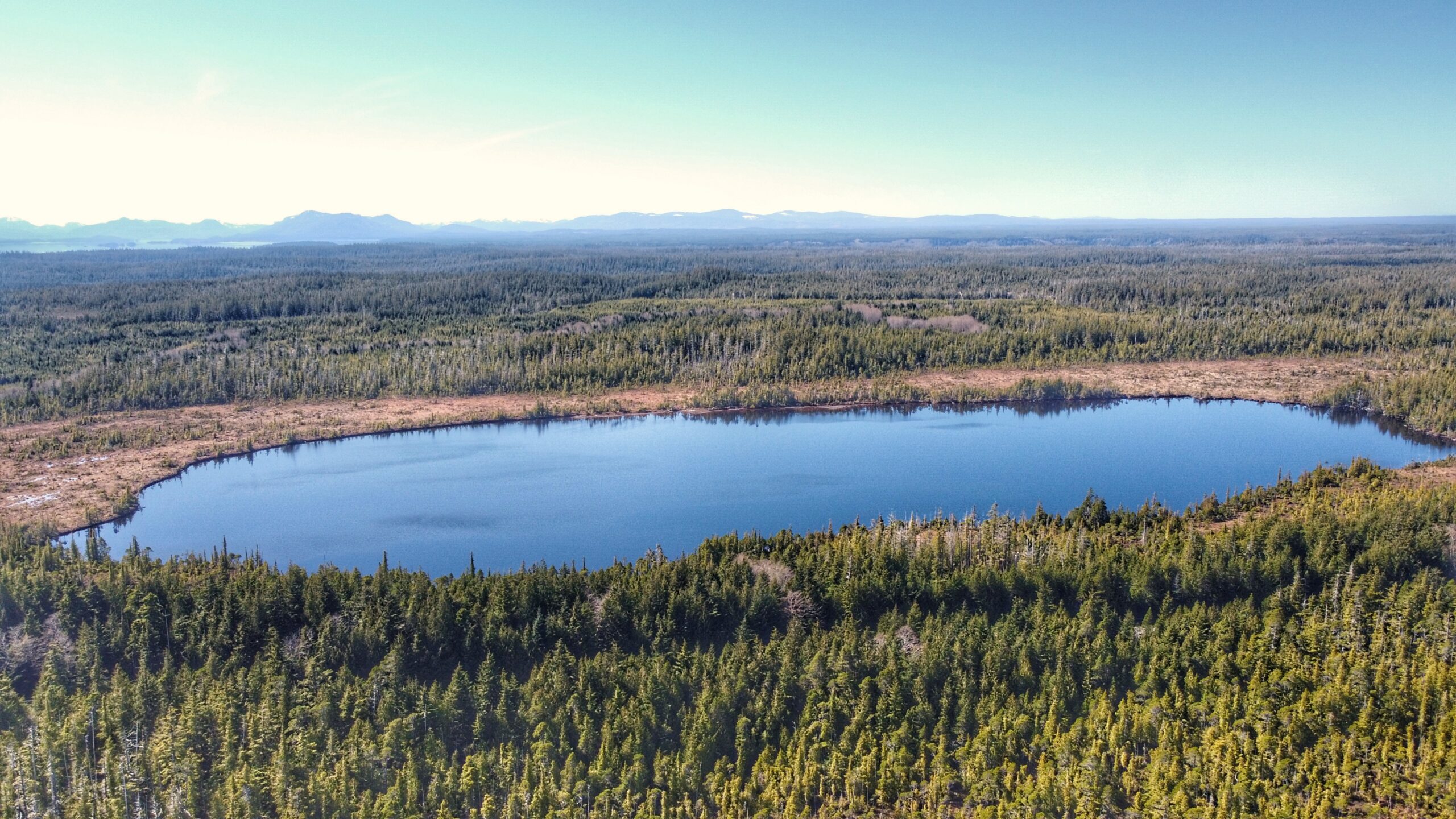
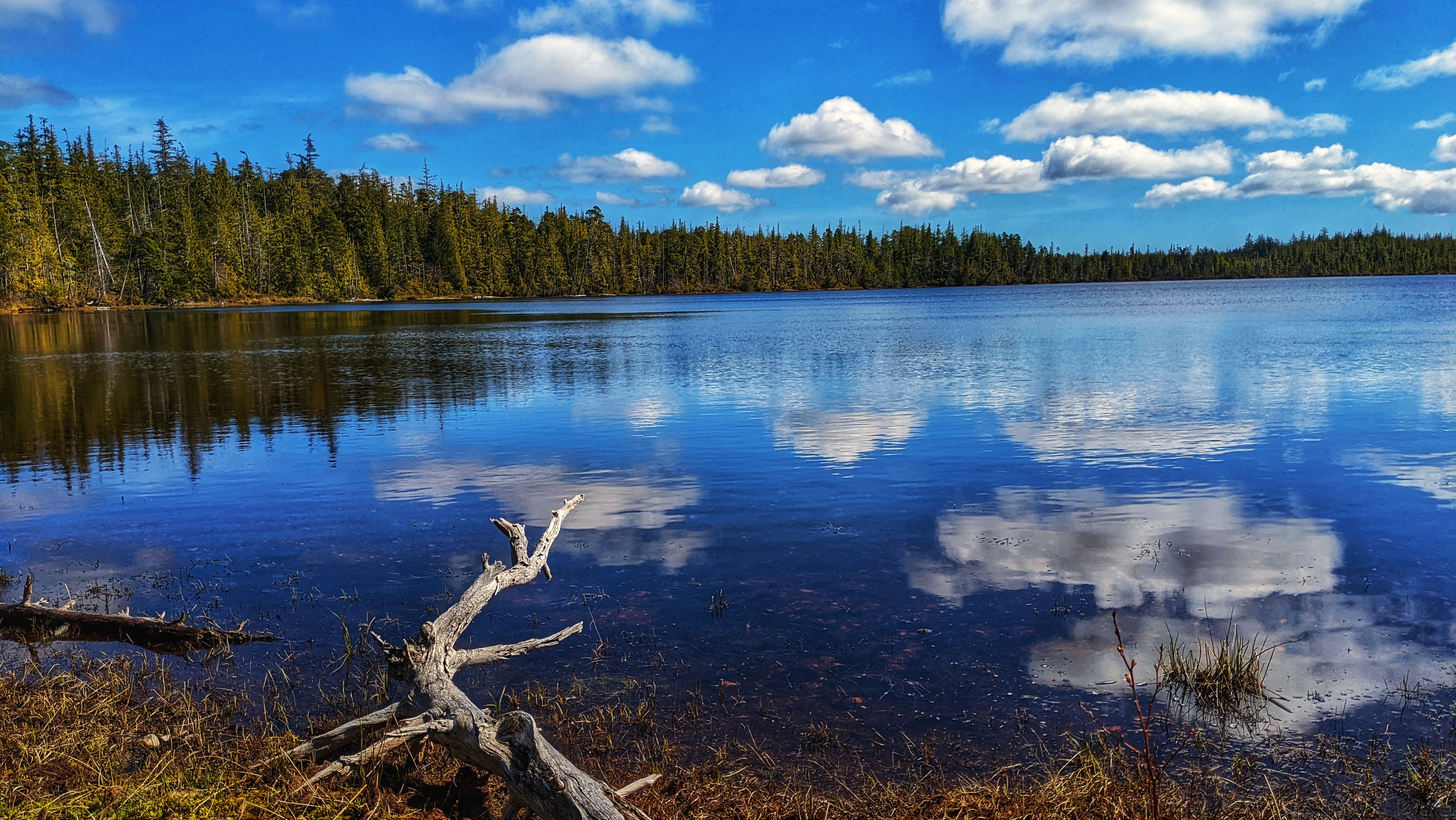
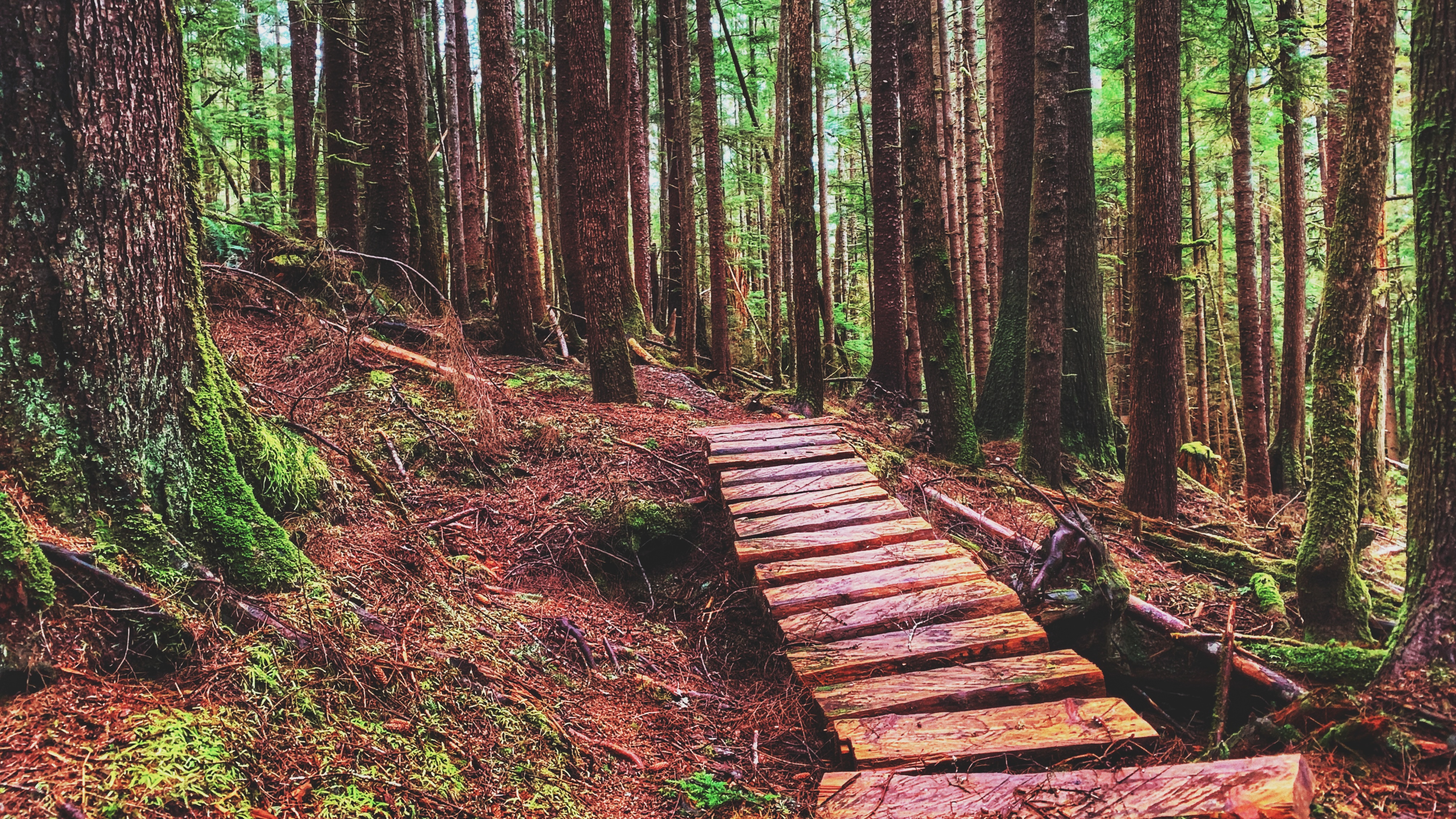
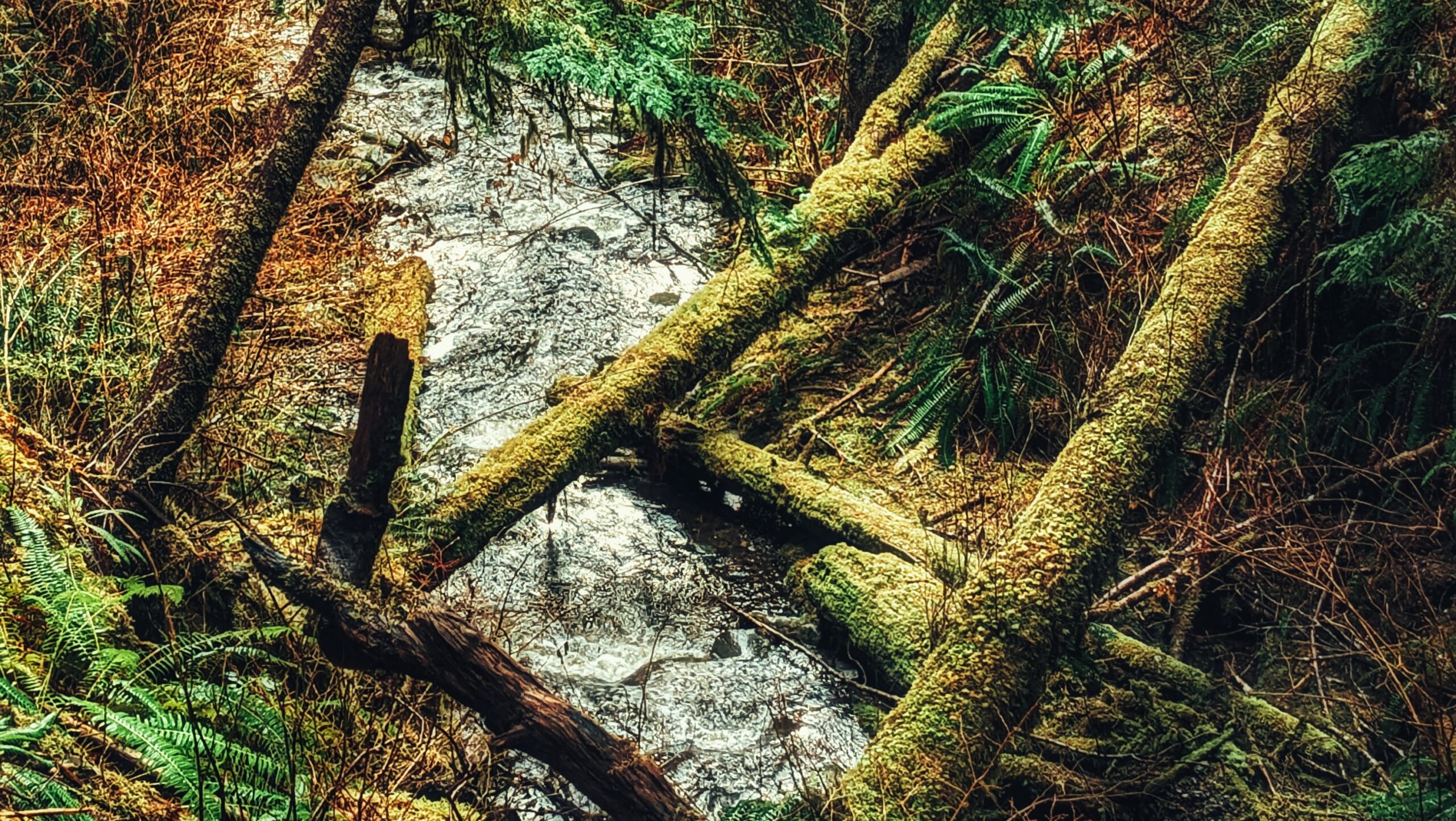
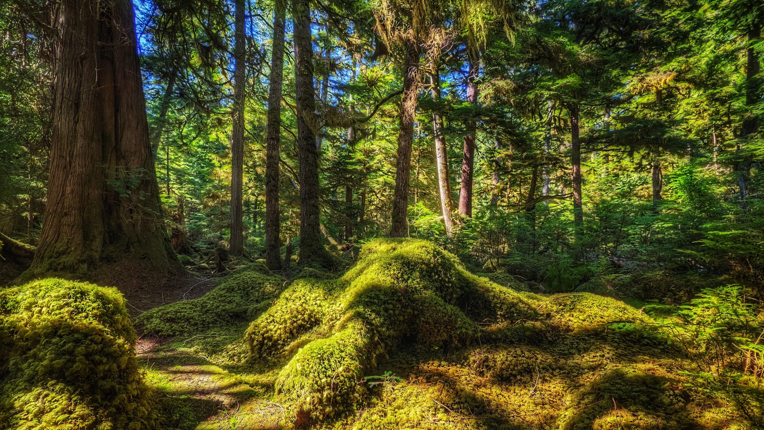
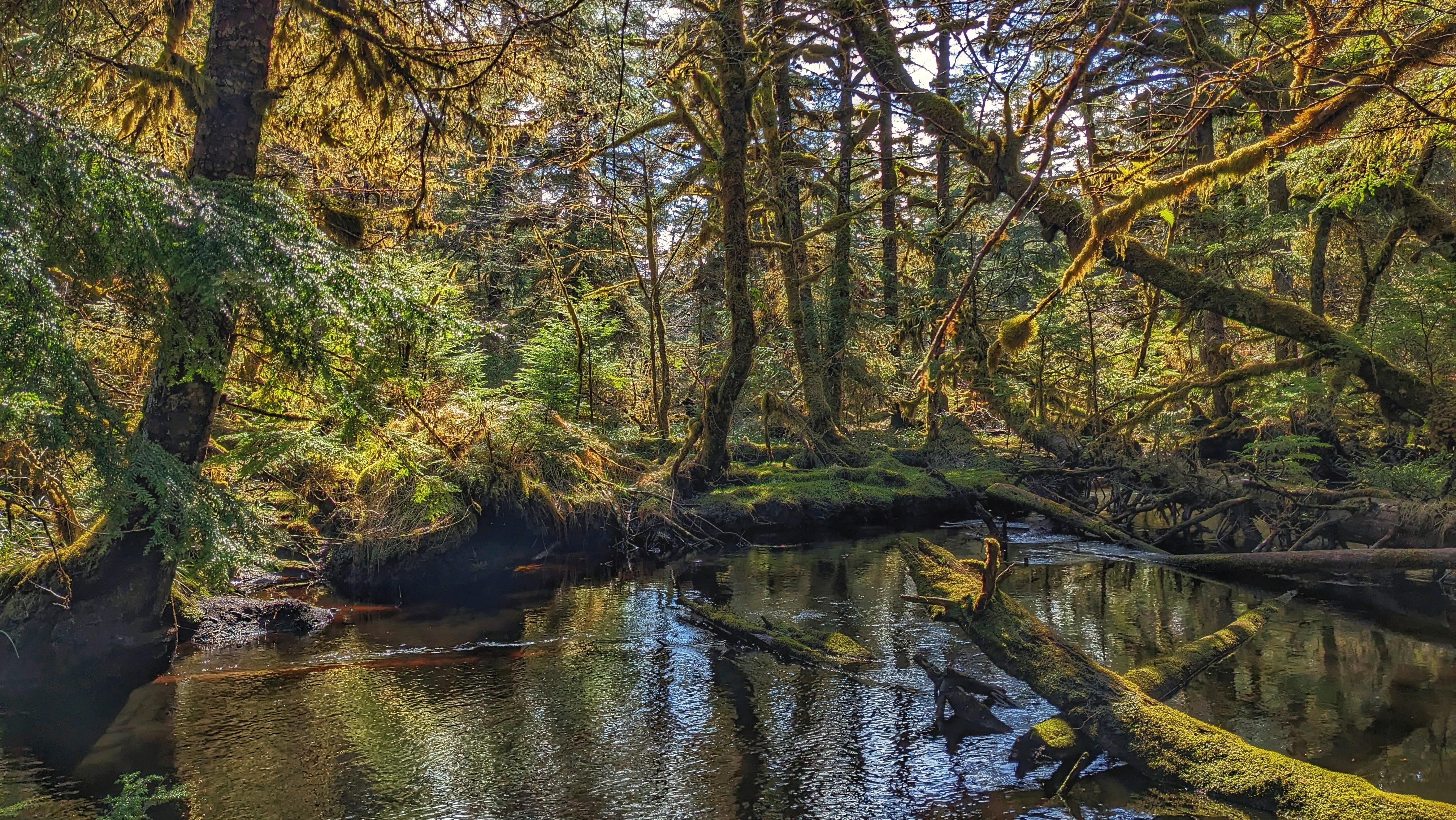
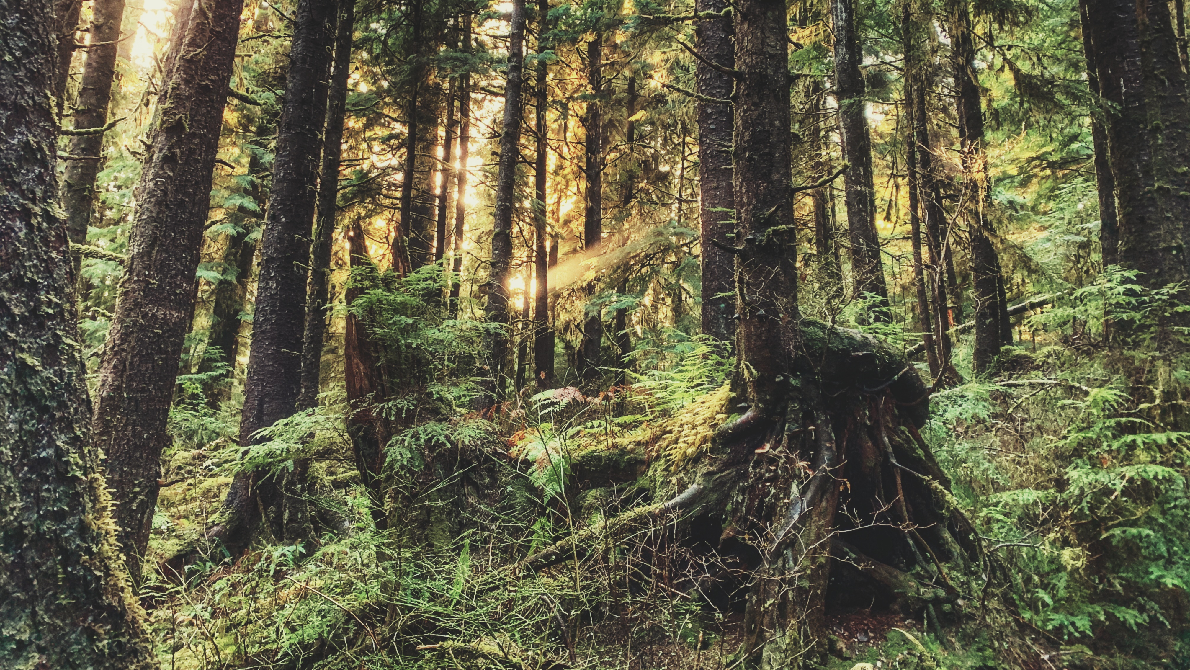
Boulton Lake Trail is located approximately 28 kilometres south of Masset and 14.6 kilometres north of Port Clements, along Highway 16. The trailhead is unmarked but is signified by a small dirt pullout directly across from hydro pole 330. The pullout has enough room for two small vehicles.
Category: Recreational/ Interpretative
To access Pure Lake Trail, you must hike a short trail of approximately 329 meters (one-way). It only takes about 3 minutes to reach the lake, but please note that sections of this trail can and do get quite muddy – especially after some rainfall. Once you reach the terminus point of the trail, you’ll come upon a small sandy beach and, of course, the lake. This is a popular day-use area for picnics and swimming.
While Crab Trap was designed to function as a mountain biking trail, it is also a wonderful hiking trail. Clocking in at a brisk 1.2 kilometres one-way, the route takes you through a beautiful forest of spruce, hemlock and lush ferns.
Crabapple Creek Trail is another of the Daajing Giids’ “community trails.” It is approximately 1 kilometre in length (one-way) and is, in our view, one of the easiest of the local trails, only behind the Tarundl loops at Kagan Bay. Unlike a lot of trails on Haida Gwaii, Crabapple Creek is clearly denoted with formal trailhead markers and is, therefore, easy to find.
In order to get to Hlk’yah GawGa, you’ll have to book a tour through one of Haida Gwaii’s local touring operators or, if you’ve got the endurance and seafaring knowledge, a multi-day kayak adventure.
Four Corners Trail is located immediately east of the Hiellen River Bridge in Naikoon Provincial Park. The route is a settler wagon road, established initially circa 1910, to access parcels of land further inland. The full length of the Four Corners Trail is approximately 5 kilometres; however, today, only the first 2.5 kilometres or so can be safely hiked.
The Gore Brook Trail is one of 5 “community trails” in the Village of Daajing Giids. Unlike most trails on Haida Gwaii, Gore Brook actually has formal trailhead signage and is, therefore, easy to find. It has two main entry points: The first is at the top of 8th Street (north of the high school). Once you reach the top of 8th, turn right and you should see the trailhead marker adjacent to a small side road. The second point of entry is on the 2nd avenue (above the municipal office), along the Village’s western end.
Popular with tourists and locals alike, this well-maintained easy hike offers the curious a portal through which to view Haida Gwaii’s natural beauty: The carpeted moss floor; the meandering creeks; beautiful cedar and spruce trees; culturally modified trees (CMTs); a plethora of eagles and woodpeckers; wild blueberries and mushrooms; the large Haida Gwaii black bear; and, of course, Spirit Lake itself. Each of these elements complements the overall setting and lends a picture of serenity.
The Anvil Trail, which is located in the Tlall Conservancy, is one of the more popular trails on Haida Gwaii and is the only maintained route originally developed by the Tlell Watershed Society (TWS). It follows a 5-kilometre interpretive route and takes you through second-growth forests, old-growth, riparian floodplains, and even some minor boggy sections.
The Sunset Park Trail, located along Bayview Drive, is an easy 2.7km out-and-back trail in the Village of Port Clements. The terrain is flat and basically follows the Yakoun Estuary the entire way. The track is so flat, in fact, that Port Clements even suggests it is wheelchair friendly.

