Category: Feature Spots

  • Daajing Giids Seawalk – An Educational Stroll

    Daajing Giids Seawalk – An Educational Stroll

    • Daajing Giids Seawalk
    • Daajing Giids Seawalk
    • Daajing Giids Seawalk
    • Daajing Giids Seawalk

    Daajing Giids Seawalk Features:
    โ€ข Urban hike
    โ€ข Early & Contemporary history

    ABOUT

    On its surface, the Daajing Giids Seawalk is an inspiring urban hike or stroll along the villageโ€™s bustling waterfront. At a deeper level, though, this one-kilometre walk takes you deep into the historic heart of Daajing Giids, highlighting key milestones that helped in its own coming-of-age story. That, for us, is the real beauty of the Seawalk and makes it a โ€œmust-doโ€ for anyone visiting Haida Gwaii.

    The Daajing Giids Seawalk begins at the Visitor Center, near the humpback sculpture by Lon Sharp. It is here, near the strategically placed picnic tables, that youโ€™ll come across the first nugget of historical wisdom on this hike: A short information write-up explaining what brought settlers to what is now Daajing Giids. The Visitor Center also distributes copies of “Village of Queen Charlotte Heritage Walking Tour” written by Heather Ramsay at a reasonable cost. This booklet is rich with the early history of Daajing Giids previously known as Queen Charlotte.

    There are a total of 8 such write-ups found throughout the community, all but three of which are found directly along the Seawalk route (the three stragglers can be found across from J&T Restaurant, beside Premier Creek and near the old hospital).

    Once youโ€™ve finished admiring the views at the Visitor Centre and Skidegate Inlet, follow the brick-coloured paving stones โ€“ which mark the early and late parts of the route โ€“ as they wind through Spirit Square. Completed in 2011, this small plaza area has become a cornerstone of the community for public events. The annual Christmas tree light-up is done here and live music is often played on the impressive bandstand. In many ways, Spirit Square could represent just how far Daajing Giids has come in its progressive journey: A communal space welcoming to everyone.

    Moving past Spirit Square, the pathway takes you down to the nearby docks. Youโ€™ll have to cross the road to continue along the Daajing Giids Seawalk, which is again signified by the brick-coloured paving stones. At this point in your hike, you can observe the Fishermanโ€™s Memorial and the bustling harbour down below.

    Another historic write-up, appropriately detailing the importance of the fishing industry, can also be found here. Curiously, from here, the Seawalk is unmarked for about two-hundred meters or so: Walk up the road, past Northern Savings and Charlisle Clothiers, until you hit Wharf Street. Turn LEFT and follow Wharf Street for approximately 150 meters until you hit Oceanview Drive (the main road in town).

    Once on Oceanview Drive, the Daajing Giids Seawalk formal markings return; however, the pathway is no longer denoted by paving stones for this stretch of the journey. Instead, the route is marked by a yellow โ€œwalkingโ€ figure painted on the side of the road.

    While this section might prove to be โ€œtoo urbanโ€ for some (since youโ€™re literally walking alongside vehicle traffic), it nevertheless provides epic views of the inlet, harbour and seaplane docks. On the opposite side of the road, youโ€™ll also spy the historic Premier Creek Lodge. Take a brief detour and cross the highway if youโ€™d like to read a bit more history!

    After hiking alongside the highway for just over 200 meters, youโ€™ll spy the return of the brick-coloured paving stones at the landscaped garden adjoining the local ballfield. The route will take you around the ballfield, past the Community Hall and childrenโ€™s park before concluding near the Vancouver Island Regional Library.

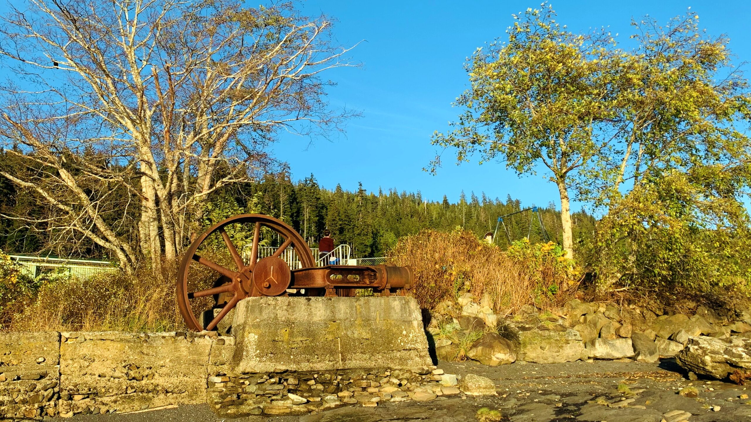
    At the terminus point of your urban hike, youโ€™ll spy the remnants of Daajing Giidsโ€™ old sawmill, which operated between 1909 and 1926. Stroll down the stairs onto the rocky beach for a closer look at the villageโ€™s early economy! A nearby write-up helps to provide more context.

    Of note, just beyond the library, youโ€™ll see a narrow roadway (Bay Street). This area was once
    considered the heart of downtown as it was lined with many a business back in the day. Some classic structures still remain, hinting at days long gone by.

    Indeed, the Daajing Giids Seawalk is an urban hike. There are plenty of beautiful photo-ops but, just as important, this immersive walk encourages us to learn along the way. Take your time here โ€“ youโ€™ll be all the richer for it.

    DIFFICULTY: Easy
    TOTAL DISTANCE: 1 kilometer
    TIME: 30 minutes
    TYPE: Point-to-Point
    ELEVATION GAIN: None
  • Spirit Lake Connector/Kโ€™yuu Aanagung – A Relaxing Hiking Network

    Spirit Lake Connector/Kโ€™yuu Aanagung – A Relaxing Hiking Network

    Subscribe to continue reading

    Subscribe to get access to the rest of this post and other subscriber-only content.

  • Jags Trail at Spirit Lake

    Jags Trail at Spirit Lake

    • Jags Trail
    • Jags Trail
    • Jags Trail
    • Jags Trail

    JAGS TRAIL FEATURES
    Viewpoints of Skidegate Inlet
    4 Rope Sections


    Note: The Jags Trail at Spirit Lake is one of a few trails created by Jags Brown. This trail should not be confused with his earlier effort, The Kโ€™yuu Aanagung / Spirit Lake Connector Trail, located across from the Haida Heritage Centre.


    ABOUT

    The Jags Trail at Spirit Lake was developed by Jags Brown, proprietor of the always excellent Jags Beanstalk, in 2012. Unfortunately, some 11 years later, the trail is little-known and most hikers walk right on by without even realizing itโ€™s there. I suppose thatโ€™s understandable because there is no trailhead marker denoting the route โ€“ thereโ€™s just some subtle flagging tape off to the side thatโ€™s very easy to miss. We hiked the trail, upon Jagsโ€™ recommendation, this Spring.

    GETTING TO THE TRAIL

    To locate the Jags Trail, start your hike at the Spirit Lake Trailhead. Hike the Spirit Lake Trail for approximately 710 meters, stopping near the newly installed โ€œDevilโ€™s Clubโ€ information sign. Once here, look to your RIGHT. You should see a not-so-obvious path with some faded pink flagging tape around a tree. This signifies the start of the Jags Trail. While the route does not appear long on paper, BRMB recorded it as 2.60 kilometres in length one-way, due in large part to the significant zig-zagging done in navigating the trail.

    HIKING THE TRAIL

    As you begin the trail, heading north from Spirit Lake Trail, it ascends fairly quickly. While no longer maintained, the route is exceptionally well-marked โ€“flagging tape is visible every few feet, so thereโ€™s very little chance of going off trail. Use caution, though, as the loose soil and twigs underfoot can make hiking the side hill a challenge.

    After about 20 minutes or so, you will encounter the first of four rope sections, which follow in seriatim. We recommend taking your time here, as the trail is very steep and some of the rope sections require you to navigate large deadfall. There are suitable places to rest after each rope section โ€“ great places to stop for a hydration break or admire the large cedars and narrow hemlock trees along the route. 

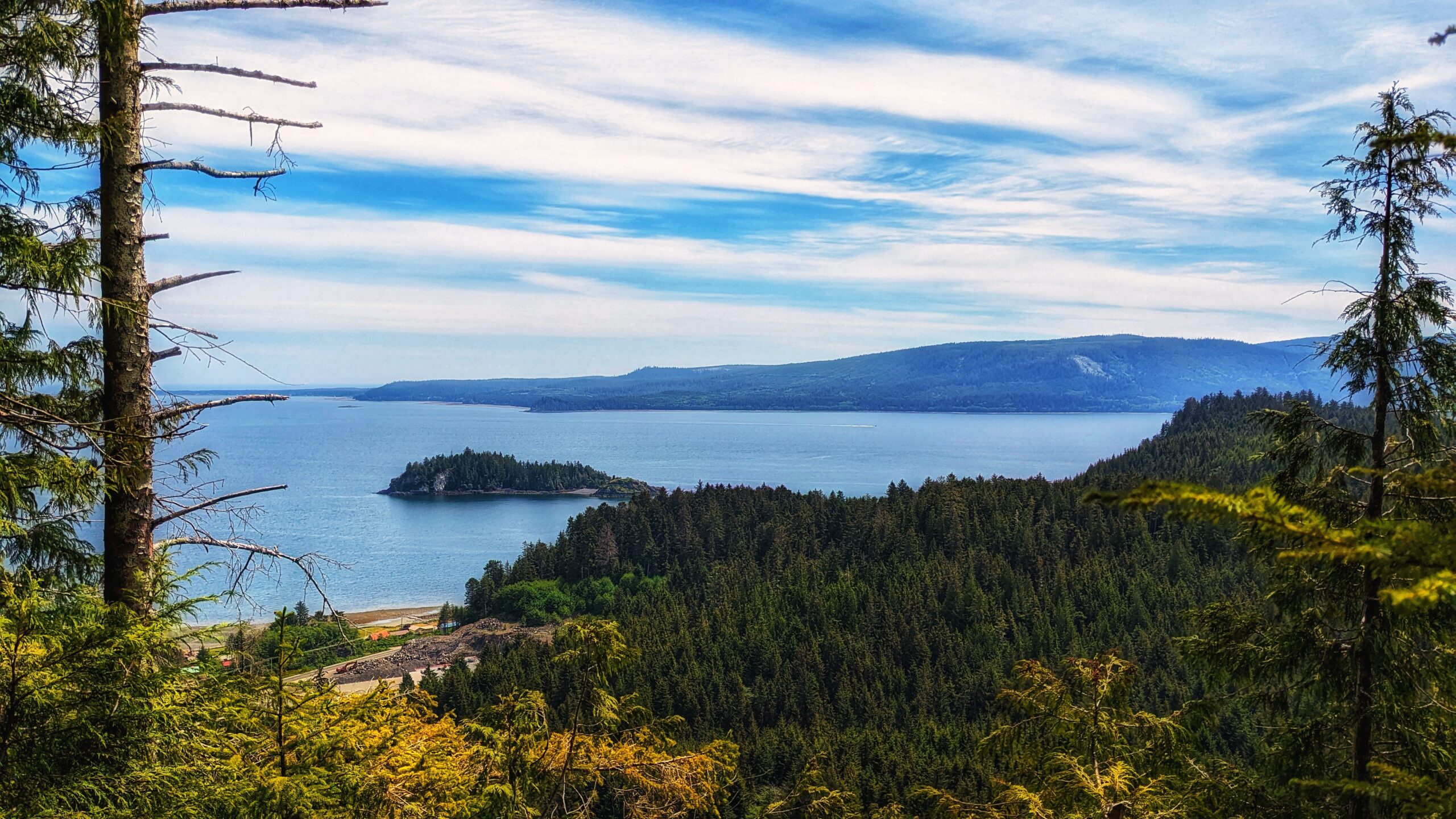
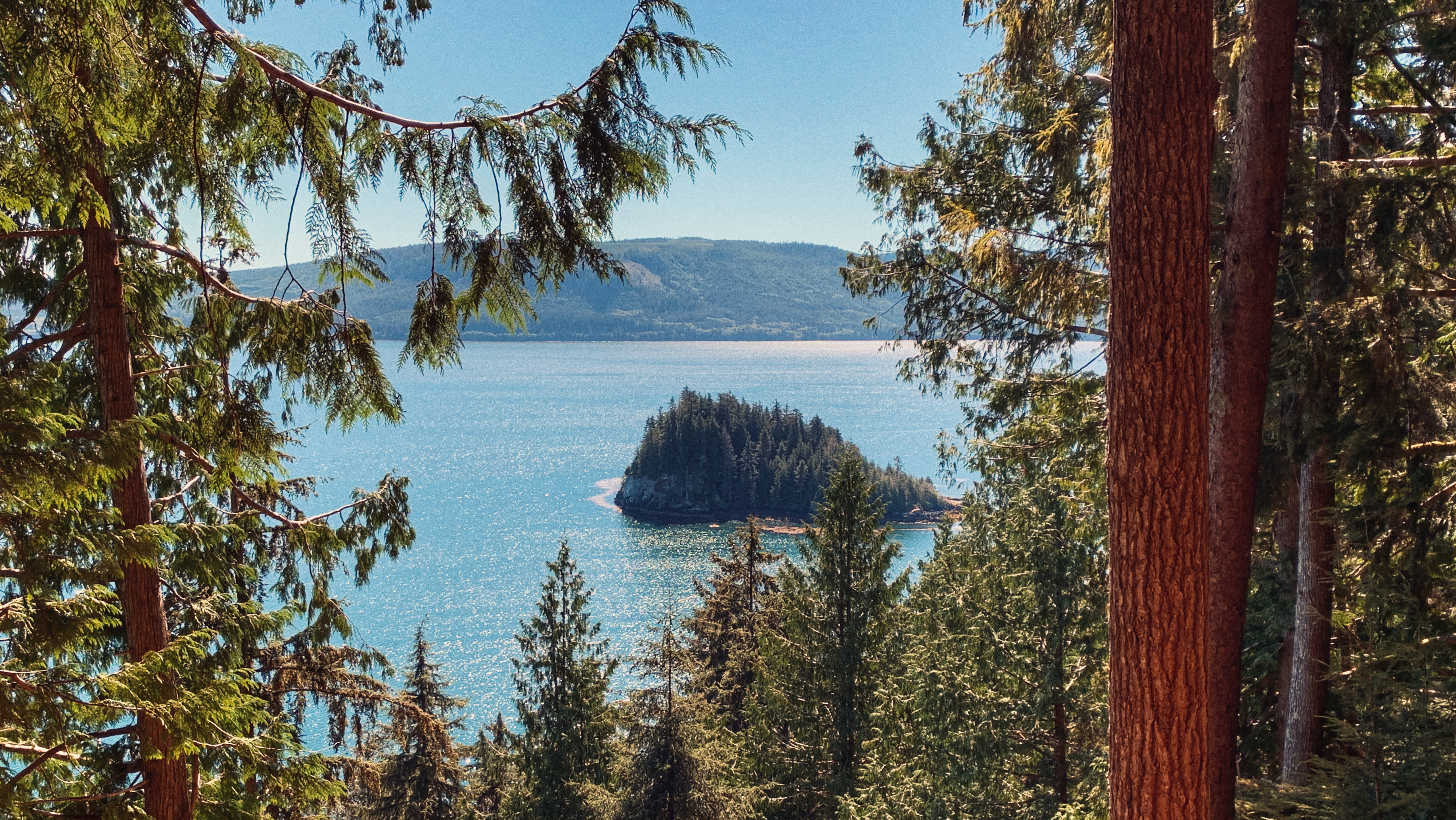
    Once youโ€™ve tackled the rope sections, itโ€™s just a short hike to the summit and viewpoint. The views of Skidegate Inlet, especially on a clear day, are breathtaking and make the difficult hike well worth the effort! We see there was once a hammock on site as well (similar to the Lookout Trail), but itโ€™s long since been shredded, which is a shame because a cozy rest wouldโ€™ve felt great after scaling the hill! After admiring the view and catching your breath, simply return the way you came.

    The Jags Trail is rough, steep and unmaintained, so be prepared for difficult conditions. If you manage to make it to the top, though, your efforts will be rewarded. Once you make it back to the Spirit Lake trailhead, why not head on over to Jags Beanstalk for a light bite and a good cup of coffee?

    DIFFICULTY: Hard
    TOTAL DISTANCE: 2.6km (one-way)
    TIME: 3 hours (return)
    TYPE: Out-and-Back
    ELEVATION GAIN: 120 meters

  • Susan’s Trail – A Forest Walk

    Susan’s Trail – A Forest Walk

    • Susan's Trail
    • Susan's Trail
    • Susan's Trail
    • Susan's Trail
    • Susan's Trail
    • Susan's Trail
    • Susan's Trail
    • Susan's Trail

    Susan’s Trail Features:
    A big wolf tree
    Mossy forest walk
    A route leading to Tlell River

    ABOUT

    We discovered Susanโ€™s Trail quite by chance earlier this year while browsing the Hospital Day-sponsored โ€œTrail Bingo.โ€ The โ€œbingo cardโ€ features a number of well-known short trails, including the aforementioned โ€œSusanโ€™s Trailโ€ โ€“ the only one on the list we were unfamiliar with. After a bit of detective work, we discovered the trail, in the current day, is recorded on most maps as part of the larger Misty Meadows Beach Loop Trail. Where, then, is Susanโ€™s Trail and why is it important?

    Susanโ€™s Trail is unmarked, but its location is familiar: As you drive in towards the Misty Meadows campsite you will inevitably spy โ€œthe big treeโ€ to your left. This marks the start, or trailhead, of Susanโ€™s Trail. You can park your car on the side of the road or drive a couple of hundred meters forward to the campsite and park there before beginning your hike.

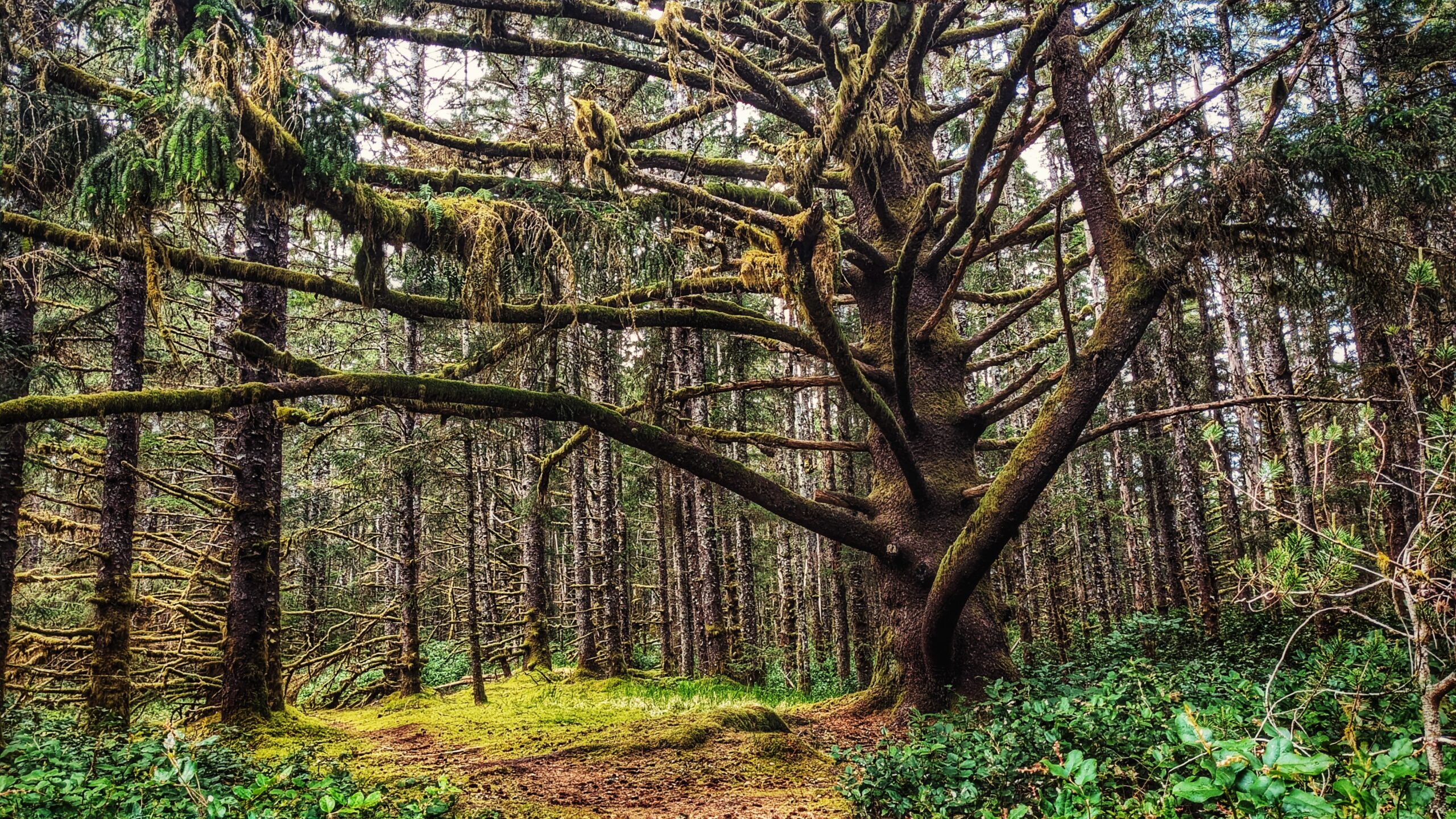
    Susanโ€™s Trail was developed by the late Susan Wright and her husband. It is single-track and runs for approximately 720 meters one-way through fairly dense salal early on before transitioning into mossy carpeted forest of a young hemlock. Within the final 70 meters, the trail runs close to Highway 16 and skirts the Tlell Cemetery, so if youโ€™re afraid of ghosts or ghouls you might wish to skip this one ๐Ÿ˜‰ At the trailโ€™s terminus point, you will emerge onto the dirt road that leads to the cemetery.

    From here, you have two options: Turn back and return the way you came OR walk out onto Beitush Road and stroll north along the Tlell River to experience and/or complete the larger Misty Meadows Loop Trail (described at length in another entry).

    The trail, while brief, represents a good bit of local contemporary history. In that respect, itโ€™s a shame the route is now just considered part of the larger Misty Meadows Beach Loop Trail.

    DIFFICULTY: Easy
    TOTAL DISTANCE: 1.44km (return)
    TIME: 20 minutes
    TYPE: Out-and-Back
    ELEVATION GAIN: None

  • Rose Spit – First People at the Edge of the World

    Rose Spit – First People at the Edge of the World

    • Rose Spit
    • Rose Spit
    • Rose Spit
    • Rose Spit

    ROSE SPIT FEATURES
    ย ย Edge of the World
    Haida Creation Story
    Crab and clam harvesting

    ABOUT

    Located on the northeastern tip of Graham Island, and wholly within Naikoon Provincial Park, Rose Spit is perhaps best described as a long beach walk rather than a trail hike. 

    To begin your North Beach trek towards โ€œthe Spit,โ€ walk down the dirt road from the Hiellen Cabins and onto the beach: You are now at the trailhead/start of your epic walk to Rose Spit. 

    At 18 kilometres one-way, a proper walk out to the precipice should be well timed on a falling tide because the last few kilometres do get submerged by the waves on a high tide. Thus, walk only as far as you believe to be reasonable โ€“ you are completely at the mercy of the tides here!

    While the hike to Rose Spit is entirely on flat ground, the hard sand and, later, pebbly beach are surprisingly tough on oneโ€™s feet! Be sure to wear comfortable footwear, otherwise, the long hike back to Towhill Road and the Hiellen Cabins could be a rather painful affair. Still, the hike is well worth the effort because thereโ€™s surprisingly a lot to see.

    As you walk along North Beach, youโ€™ll undoubtedly notice plenty of vehicle traffic. The majority will be trucks and ATVs, but itโ€™s not uncommon to see standard-size vehicles on the beach as well! Most are joyriding โ€“ enjoying the endless kilometres of sandy beach โ€“ but some are also gathering traditional foods like cockles, razor clams and Dungeness crab. If youโ€™re lucky, one of the locals just might show you how to catch a deceptively speedy razor clam, or offer up a freshly caught crab โ€“ true gifts of the sea!

    At about the 5-kilometre mark, youโ€™ll come upon one of this areaโ€™s unnatural attractions: The small shipwreck of the Kelly Ruth, which has been here since 1994. Like the larger Pesuta along East Beach, the Kelly Ruth is surprisingly photogenic, offering many unique angles and contrasts with the natural landscape. 

    It is also at this point, if youโ€™ve chosen to drive onto the beach using a small vehicle, that weโ€™d advise you stop and walk the rest of the way to Rose Spit because the compact sand begins to give way to a pebbly beach much more suited to ATVs and 4×4 trucks.

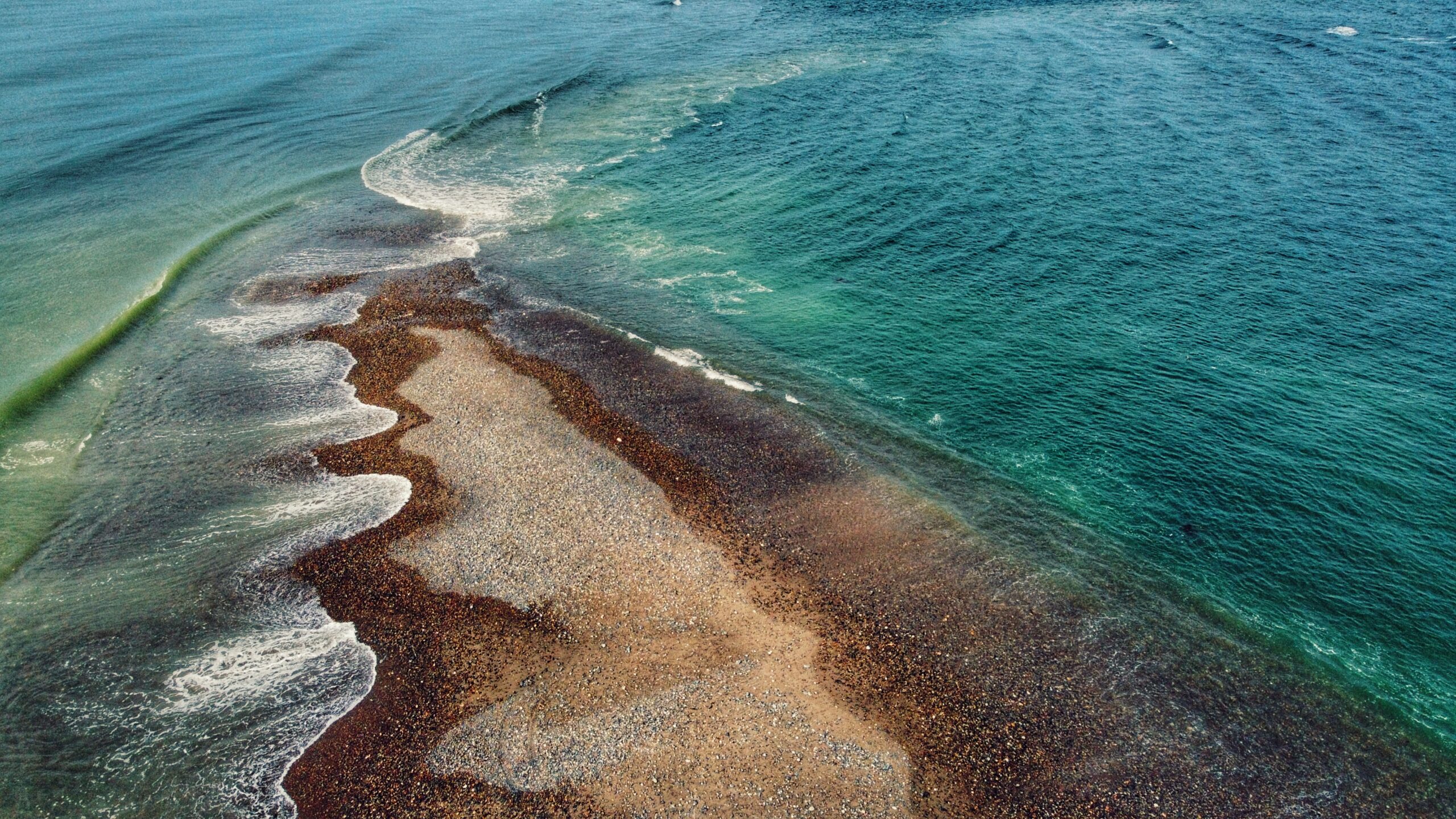
    Approaching the end of Rose Spit, things begin to come into perspective. Turn around and view Tow Hill: It looks so small off in the distance. Now, turn back around and look at the edge of the world. Roughly a kilometre wide at the forestโ€™s edge, Rose Spit narrows to just a few feet before disappearing beneath the waves of the Pacific Ocean. 

    As you stand here at the precipice of Haida Gwaii, you have the wind at your back; Dixon Entrance and North Beach on your left; and, the Hecate Strait and East Beach on your right. The pebbly Spit, wet sand and unique agates rest at your feet. When youโ€™re out here, itโ€™s easy to enjoy the cool sea breeze and rejuvenating wind . . . and then you notice a clam shell at your feet.

    Rose Spit is a place of high cultural significance to the Haida. The area figures prominently in their creation stories. As told in the story โ€œRaven and the First Man,โ€ Raven found himself alone day, flying over Rose Spit. 

    Landing on the beach, Raven noticed โ€œan extraordinary clamshell at his feet, and protruding from it were a number of small creatures.โ€ He coaxed them out of the shell and, even though some were hesitant, โ€œthey emerged from the partly open clamshell to become the first Haida.โ€ 

    This important creation story is beautifully captured in Bill Reidโ€™s โ€œRaven and the First Menโ€ carving at the UBC Museum of Anthropology.

    Knowing the Haida Creation Story adds a layer of complexity to oneโ€™s Rose Spit experience. For us, it makes this so much more than a beach walk or a place to observe rare plants like Sea Bluebells. 

    It brings into synthesis Haida culture, history, myth and physical geography. Standing at the tip of Rose Spit and looking back toward Tow Hill, we cannot help but come to a stark realization: No matter how imperfect we are, we each have a place in this world and we owe it to ourselves to protect it.

    DIFFICULTY: Moderate
    TOTAL DISTANCE: 36 kilometers (return)
    TIME: 12 hours
    TYPE: Out-and-Back
    ELEVATION GAIN: None

  • Easy Stroll – Spit Walk Trail

    Easy Stroll – Spit Walk Trail

    • Spit Walk Trail
    • Spit Walk Trail
    • Spit Walk Trail
    • Spit Walk Trail
    • Spit Walk Trail
    • Spit Walk Trail
    • Spit Walk Trail
    • Spit Walk Trail
    • Spit Walk Trail
    • Spit Walk Trail
    • Spit Walk Trail
    • Spit Walk Trail
    • Spit Walk Trail

    SPIT WALK TRAIL FEATURES:
    Access to Sand Spit
    Running & Biking
    Family-friendly

    ABOUT

    The โ€œSpit Walk Trailโ€ is something of a surprise on at least two fronts. First, we were flabbergasted to learn of this trailโ€™s existence. Despite spending a significant amount of time on Haida Gwaii, weโ€™d never once heard of this trail. It was only after reading a brief write-up from Ocean Sound Kayaking and spying the
    route on a detailed map of Haida Gwaii by BRMB that our veil of ignorance was lifted. Second, the Spit Walk surprised in that it was basically hiding in plain sight.

    On the one hand, it is kind of surprising we didnโ€™t know of this trail given that itโ€™s basically a 5-kilometre loop around the perimeter of Sandspit Airport (BRMB erroneously says 10KM); thus, itโ€™s hardly a brief walk easily missed. 

    On the other hand, we could argue itโ€™s not terribly surprising because, like most trails on Haida Gwaii, no explicit trailhead signage exists. It seems like you just have to โ€œknowโ€ about it. Then again, Ocean Sound Kayaking โ€“ the only piece of literature weโ€™ve seen on this trail โ€“ does say itโ€™s a โ€œlocals trail,โ€ indicating those who live here certainly know about it.

    The Spit Walk can be accessed at two major points โ€“ along Tacan Road or Beach Road. If you want to do this hike, weโ€™d recommend starting at Beach Road adjacent to Lon Sharpโ€™s โ€œSpirit of Sandspitโ€ (giant salmon) sculpture because thereโ€™s parking available at the site of the former government wharf. 

    If you choose to start at Tacan Road, youโ€™ll have a hard time with parking unless you park in the nearby SuperValu lot. So, for the sake of argument, letโ€™s assume youโ€™re starting from the โ€œSpirit of Sandspit.โ€

    From here, just walk along the perimeter fence of Sandspit Airport (YZP). The trail is wide, flat and clearly visible. It may seem a bit daunting going straight on such flat land for lengths at a time, but there are benches strewn about to allow for some rest. 

    Just note that because this trail is largely exposed to the elements, it is not advisable to hike or jog this route during high winds.

    In addition, if you wish to break up the monotony, there are a few little side paths that provide access to the rocky beach. If youโ€™re visiting at low tide, weโ€™d strongly recommend detouring off the Spit Walk and enjoying the Sand Spit (Sandspitโ€™s namesake). 

    Thereโ€™s just something peaceful about being able to walk so far out from the mainland and using the oceanโ€™s calm to clear oneโ€™s head. Not to mention, โ€œthe Spitโ€ is home to some of the best clam-digging on Haida Gwaii! Just make sure, if you do hike out to the actual โ€œSpit,โ€ you do so at a low or receding tide so as not to get caught by the incoming tide. 

    If you exclude an excursion to the beach, the physical landscape of the Spit Walk is largely grassy and flat. Daisies, Buttercups and Yarrow abound. However, given the flatness of the route, itโ€™s easy to see why many a local enjoys running or biking along this loop โ€“ makes for some good exercise.

    As you finish this easy walk and emerge onto Tacan Road, the only thing to watch out for is vehicle traffic since this part of the โ€œtrailโ€ as you walk along the side of an active road until you loop back to Beach Road. Besides that, there really is nothing to be wary of on the trail except for the odd low-flying aircraft (haha), winds and angry squirrels in the bushes.

    Overall, the Spit Walk is an enjoyable excursion suitable for the whole family. Along with the added benefit of some nice exercise, it affords us the opportunity to explore a little more of Sandspit. All of that said, this trail certainly isnโ€™t for everybody. If youโ€™re an adventure seeker or want to spend time in the forest, the Spit Walk may be a little boring or even one-note. If, however, you want to inhale that fresh sea air, then youโ€™ll enjoy this easy hike!

    DIFFICULTY: Easy
    TOTAL DISTANCE: 5 kilometers
    TIME: 2 hours
    TYPE: Loop
    ELEVATION GAIN: None

  • Forest & Canoes  – Haida Canoe Trail #2

    Forest & Canoes – Haida Canoe Trail #2

    • Haida Canoe Trail #2
    • Haida Canoe Trail #2
    • Haida Canoe Trail #2
    • Haida Canoe Trail #2

    HAIDA CANOE TRAIL #2 FEATURES:
    Ancient Haida canoe
    Culturally Modified Trees
    Late 20th century logging

    ABOUT

    This trail technically doesnโ€™t have a name but, because it leads to another ancient Haida Canoe, the tendency has just been to call it โ€œHaida Canoe Trail #2โ€ โ€“ an interesting name choice since you actually come upon its trailhead BEFORE the โ€œHaida Canoe Trailโ€ that most everyone visits. 

    How and why do most miss this trail? It isnโ€™t marked, but we will try to spell it out. From Port Clements, the unmarked trailhead is approximately 11.5 kilometres away:

    Drive 10 minutes, or 3.5 kilometres from Port Clements to the Golden Spruce trailhead pullout. The road turns from paved (Bayview Drive) to gravel. Once you hit the gravel Port Man Forest Service Road, please be aware that youโ€™re on active logging roads.

    From the Golden Spruce trailhead pullout, continue driving straight along the Forest Service road for approximately 7.5 kilometres. At this point, you should keep an eye out for an old single-track logging spur road on your LEFT. If you pass the โ€œHAIDA CANOEโ€ sign (Haida Canoe Trail), then youโ€™ve driven too far. The old road essentially represents the trailhead.

    From the old logging road, it is a one-kilometre stroll to the trailโ€™s terminus point. The hike is largely unremarkable โ€“ as you pass through a lot of alders and young spruce โ€“ though you may encounter the odd grouse strutting about! At one point, you do come to a large fork in the road: Go to your RIGHT.

    After a couple of minutes, you will come to the end of the road. Once here, look to your right. You should see what appears to be a deer trail going up a small incline through some fairly dense salal bushes. This part of the trail is only about 45 meters long and brings you to the reason you hiked this route: An ancient โ€œblankโ€ Haida canoe, carved circa the 1860s.

    In our opinion, this site is far more interesting than the better-known โ€œHAIDA CANOEโ€ trail nearby. It provides a richer experience. As soon as you pass through the salal, youโ€™re met with a cold chill and then you see everything in front of you: A culturally modified tree (CMT) โ€“ the stump of a large monumental cedar โ€“ greets you, demonstrating where the canoe below came from. To your left, another CMT with a large โ€œtest holeโ€ can be seen. Then, down below, is the moss-covered Haida canoe. The early shaping of the canoeโ€™s bow and stern is clearly evident, along with the flattening of the top of the log in preparation for its hollowing out. Maybe itโ€™s the green moss or the stories attached to the site, but this canoe just โ€œgrabsโ€ us far more than the other canoe trail.

    We were introduced to this unmarked trail by Dale Lore. Heโ€™s the former Mayor of Port Clements and the current owner of Bayview Market. As Mayor, he made a historic move in siding with the Haida Nation over logging disputes on the islands. This was notable because Port Clements is a logging community and Dale himself spent the better part of 20 years building roads for M&B and Weyerhaeuser to extract resources. Now, he offers tours of unique sites along the Port Clements backroads โ€“ this Haida canoe site being one of them.

    As Mr. Lore explained to us, this site was โ€œdiscoveredโ€ in the mid-1990s. Logging companies were building the access road to, well, cut down some trees and make a profit. As the road was being built, the loggers stumbled upon this site. There was talk of sneaking the blank canoe out and continuing uninterrupted, but Mr. Lore notified the Haida Nation โ€“ advising them that they โ€œneed to see this.โ€

    Subsequently, because logging is not permitted at culturally significant sites, the operation was halted and stopped. Back to that โ€œchillโ€ you feel: There is little doubt this site is full of energy. 

    You feel it the moment you exit the salal. The ancient structures of the past speak to us and share their story. They have much to teach us if only we have but the eyes to see and ears to listen. On the one hand, they highlight all that was lost during the smallpox epidemic of the 1860s; on the other hand, they symbolize just how intelligently the Haida used (and use) the forest.

    While you are visiting this site, or any other culturally significant area on Haida Gwaii, please practice Yahguudang (respect for all beings).

    Note 1: It is possible to drive the old spur logging road, but we would only recommend doing this if you donโ€™t mind getting your vehicle all scratched up from the trees reaching over onto the road.

    Note 2: If you would like to book a tour with Dale Lore, drop by and visit him at Bayview Market or contact him via email: dalelore@gmail.com

    DIFFICULTY: Easy
    TOTAL DISTANCE: 2 kilometers (return)
    TIME: 40 minutes
    TYPE: Out-and-Back
    ELEVATION GAIN: None

  • Ancient Haida Canoe Trail

    Ancient Haida Canoe Trail

    • Haida Canoe Trail
    • Haida Canoe Trail
    • Haida Canoe Trail
    • Haida Canoe Trail

    ANCIENT HAIDA CANOE TRAIL FEATURE:
    160 year-old Haida canoe

    ABOUT

    Realistically one doesnโ€™t have to travel very far if one wishes to see a Haida canoe while visiting Haida Gwaii. There are a number of beautiful examples at the Haida Heritage Centre, for example, including Bill Reidโ€™s famous โ€œLootas.โ€ Reidโ€™s โ€œwave eaterโ€ was originally carved from a single red cedar for Expo โ€™86. But what if we desire to see something older, something that harkens back to an earlier time?

    It is possible to see a โ€œblankโ€ (unfinished) Haida canoe not far from the community of Port Clements. To get to it, you must hike the aptly named โ€œHaida Canoe Trail.โ€ How do you get to it?

    The Haida Canoe Trail is roughly 8km past the Golden Spruce Trail, along the Port Man Forest Service Road. You will notice a large sign that says โ€œHAIDA CANOEโ€ on the left side of the road, at the โ€œYโ€ before the Port Man turns into the QC Mainline. The sign is impossible to miss and it points you in the direction of the ancient Haida canoe. We would not recommend driving up the old road leading to the trailhead. It is not maintained and is full of deadfall โ€“ rather large branches โ€“ strewn across sections of the road. Instead, weโ€™d recommend simply parking on the side of the main road and walking towards the trailhead. If youโ€™re worried about traffic getting by your vehicle โ€“ donโ€™t be. The Forest Service Road in this area is sufficiently wide for traffic to pass safely.

    The Haida Canoe Trail is a brisk 400 meters in length from the signed trailhead, though itโ€™s probably closer to 700 meters if you include the section of old road outside the HAIDA CANOE sign. Regardless, it is an easy hike โ€“ less than 10 minutes one-way. Once you reach the โ€œCanoe Trailโ€ signage, the route is single-track but well-maintained. After a little over 5 minutes, the dense forest opens up to the unfinished ancient Haida canoe. This canoe, now surrounded by thick salal bushes, is estimated to be around 150 years old. Itโ€™s quite remarkable that, even after all this time, you can still make out the shaping of the canoeโ€™s bow and stern along with the flattening of the top in preparation for its hollowing out via steam.

    Beyond being able to view this fantastic artifact in real-time, we appreciate the story it tells. This canoe, and others like it (there are dozens in the forests around Haida Gwaii), is a powerful reminder of all that was lost when the smallpox epidemic hit the Islands in the early 1860s. Itโ€™s not hard to imagine the carvers of this canoe succumbing to the disease, resulting in its abandonment in the forest. In the contemporary period, one could also suggest that this canoe and the story behind it help to explain why the residents of Haida Gwaii fought so hard to keep visitors away during the early stages of the COVID pandemic. History can teach us much if we have but the eyes to see and ears to listen.

    DIFFICULTY: Easy
    TOTAL DISTANCE: 1.4 kilometers (return, to logging road)
    TIME: 20 minutes
    TYPE: Out-and-Back
    ELEVATION GAIN: None
  • Windy Bay Sitka Spruce Trail

    Windy Bay Sitka Spruce Trail

    TRAIL DETAILS

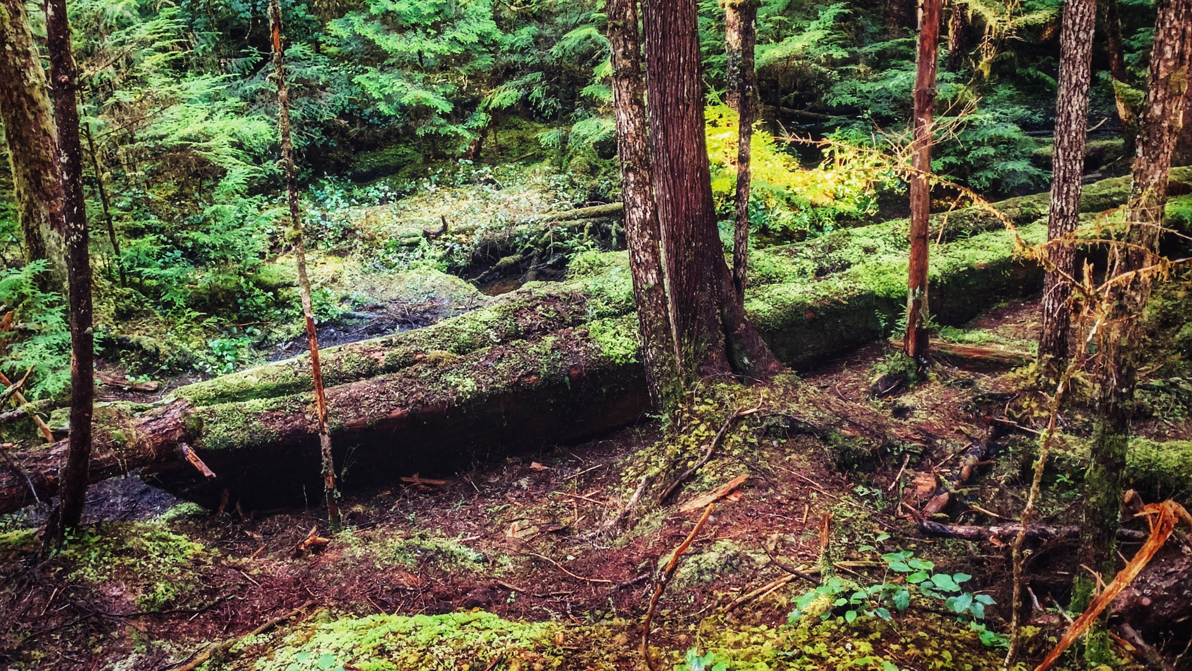
    FEATURES: Massive sitka spruce, CMTs, Old growth forest, Legacy Pole

    DIFFICULTY: Moderate

    DISTANCE: 1.2 kilometres one-way

    Time: 40 minutes one way
    Route Type: Point-to-point

    Elevation Gain: Minimal

    Community: Gwaii Haanas

    GPS Coordinates: 52.691971, -131.453913

    SUMMARY

    A guided forest hike in Hlkโ€™yah GฬฑawGฬฑa (Windy Bay) that leads to an 800โ€“900โ€‘yearโ€‘old Sitka spruce, culturally modified trees, and the Legacy Poleโ€”one of Haida Gwaiiโ€™s most meaningful cultural and historical trail experiences.

  • Four Corners Trail: An Unmaintained Wagon Road

    Four Corners Trail: An Unmaintained Wagon Road

    • Four Corners Trail
    • Four Corners Trail
    • Four Corners Trail

    FOUR CORNERS TRAILS
    Naikoon Provincial Park
    Early Settler history

    ABOUT

    Four Corners Trail is located immediately east of the Hiellen River Bridge in Naikoon Provincial Park. The route is a settler wagon road, established initially circa 1910, to access parcels of land further inland. To access this trail, begin at the Cape Fife Trailhead and follow that route for approximately 5 minutes.

    You will come upon an information board detailing the Cape Fife route. A marker to your left will signify the continuance of the 10 km-long Cape Fife trail. If you look to your RIGHT, you will see an unmarked but obvious trail โ€“ this is the beginning of the Four Corners route.

    The full length of the Four Corners Trail is approximately 5 kilometres; however, today, only the first 2.5 kilometres or so can be safely hiked. Significant blowdown and overgrowth make walking the full route โ€“ eventually connecting with the more popular White Creek Trail and Carr-Whittle routes โ€“ hazardous. The first part of the trail, however, makes for a pleasantly short hike.

    The old settler wagon road is now fringed with tall trees and thick mosses, giving an almost otherworldly appearance. Some massive cedar trees line the route, their low-hanging branches reminiscent of a scene from Sleepy Hollow! As we hiked the trail, we kept an eye out for previous human habitation. 

    Unfortunately, besides the old wagon road, the only evidence of previous human development we saw was some old machinery near the start of Four Corners and the old drainage ditches, which were all dug with pick and spade. As you observe these scenes, itโ€™s not difficult to imagine what life mightโ€™ve been like in the early 20th century, as settlers attempted to establish roots and carve new routes.

    About mid-way along the hike-able portion of the trail, youโ€™ll round a corner and enter an area weโ€™ve dubbed โ€œcedar alleyโ€ due to the significant number of large cedar trees that line this section of the route. Keep a close eye on these special trees because a few of them are CMTs โ€“ they were โ€œculturally modifiedโ€ by the Haida hundreds of years ago. It is a powerful reminder that youโ€™re treading on ancient Haida territory.

    You will eventually come upon Swan Creek, which is a tributary of the Hiellen River. Of note, in her important book, Queen Charlotte Islands Trail Hikes and Beach Walks (1978), Fern Henderson reported that the bridge over Swan Creek was โ€œvery precarious and may not be usable.โ€ 45 years later the man-made bridge is all but gone.

    As such, this is the logical end-point of the Four Corners route. We say โ€œlogicalโ€ because while it is possible to go beyond the creek using a narrow natural log bridge, this is ill-advised for those not steady on their feet!

    If you wish to hike this trail, parking is available in the nearby Tow Hill parking lot. It is advisable to bring a compass and/or use an app like BRMB or AllTrails as this is an unmarked/unmaintained route that is quite overgrown.

    DIFFICULTY: Moderate
    TOTAL DISTANCE: 5km return (hikeable portion)
    TIME: 2.5 hours
    TYPE: Out-and-Back
    ELEVATION GAIN: None