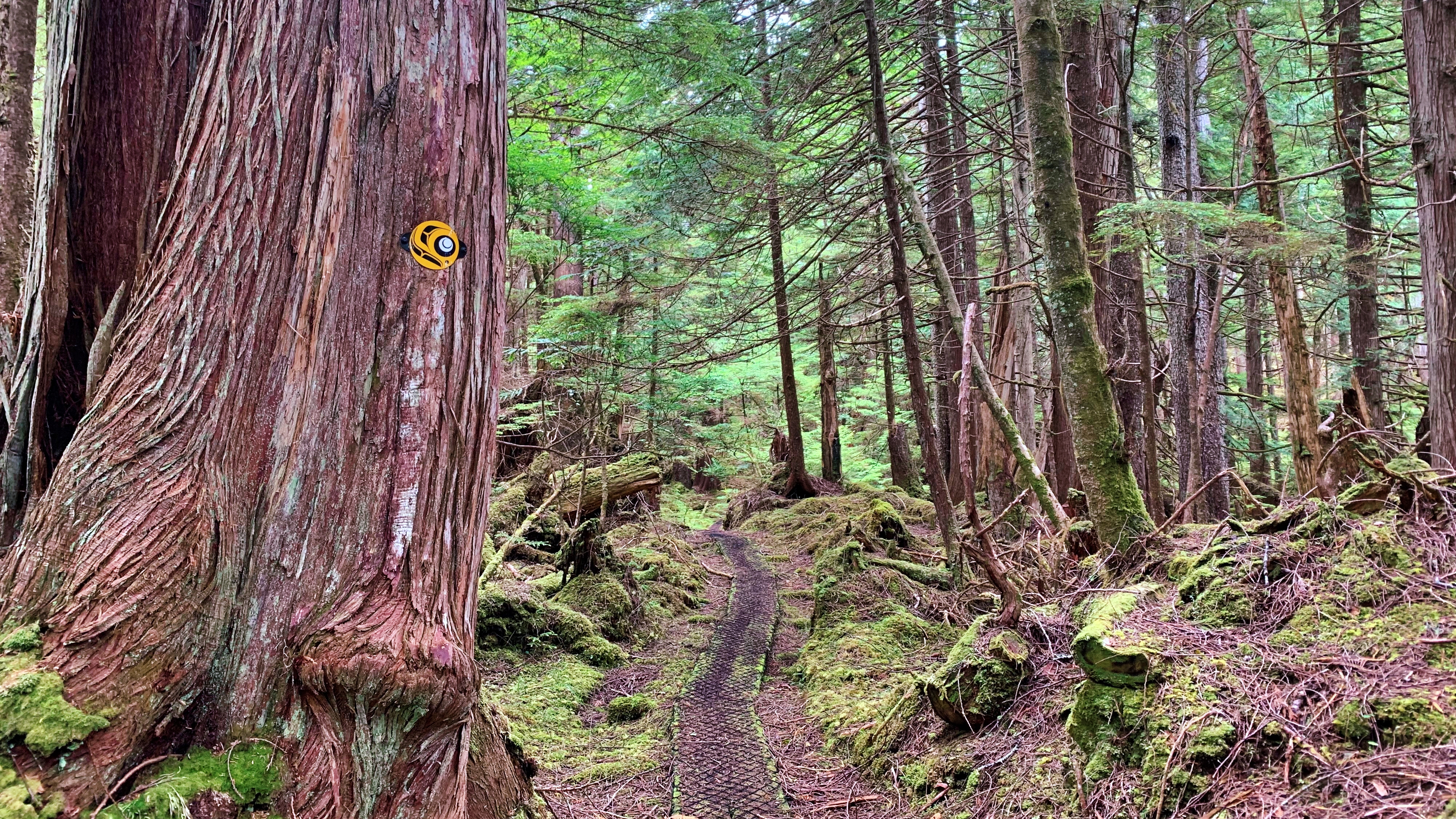
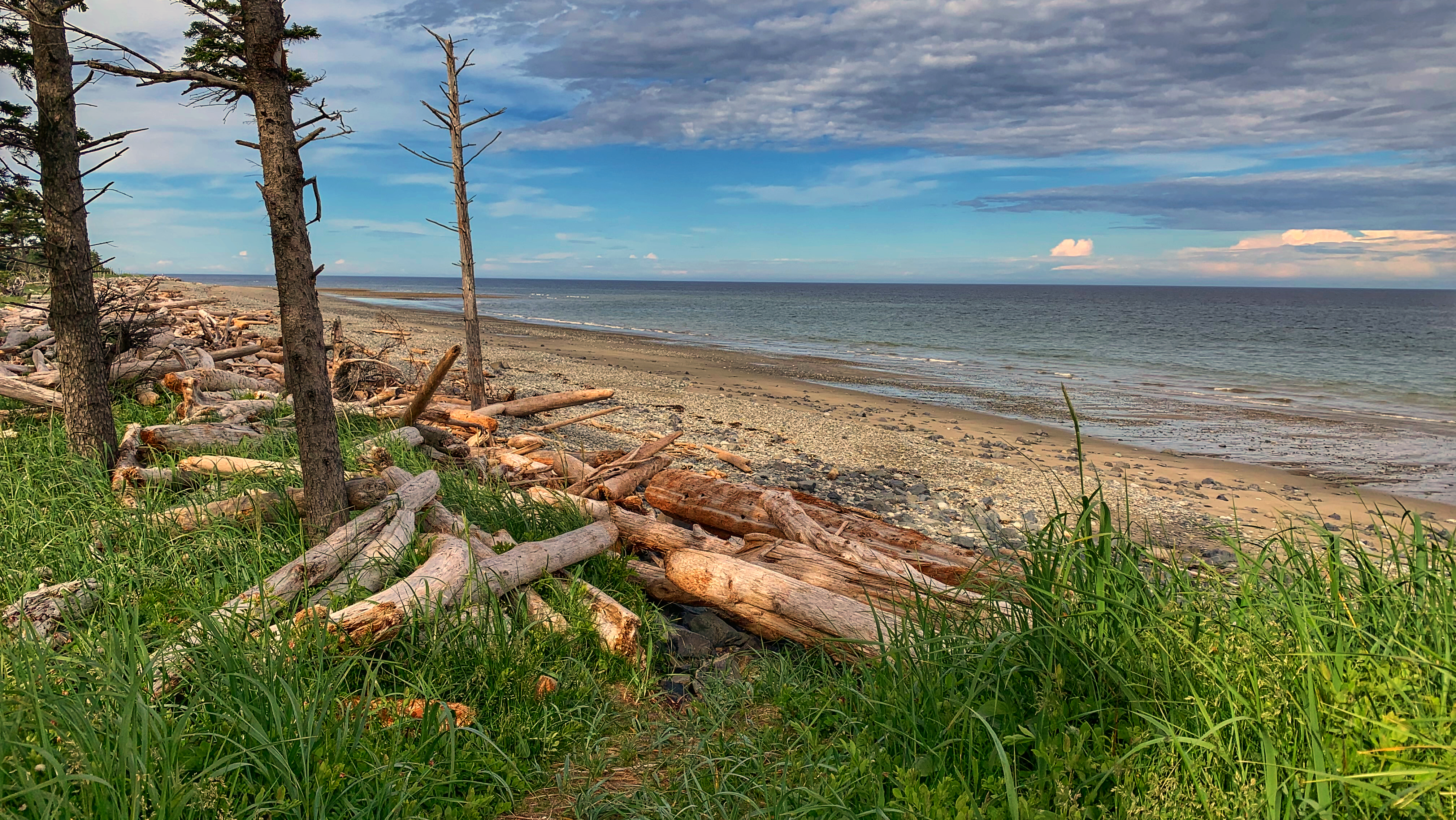
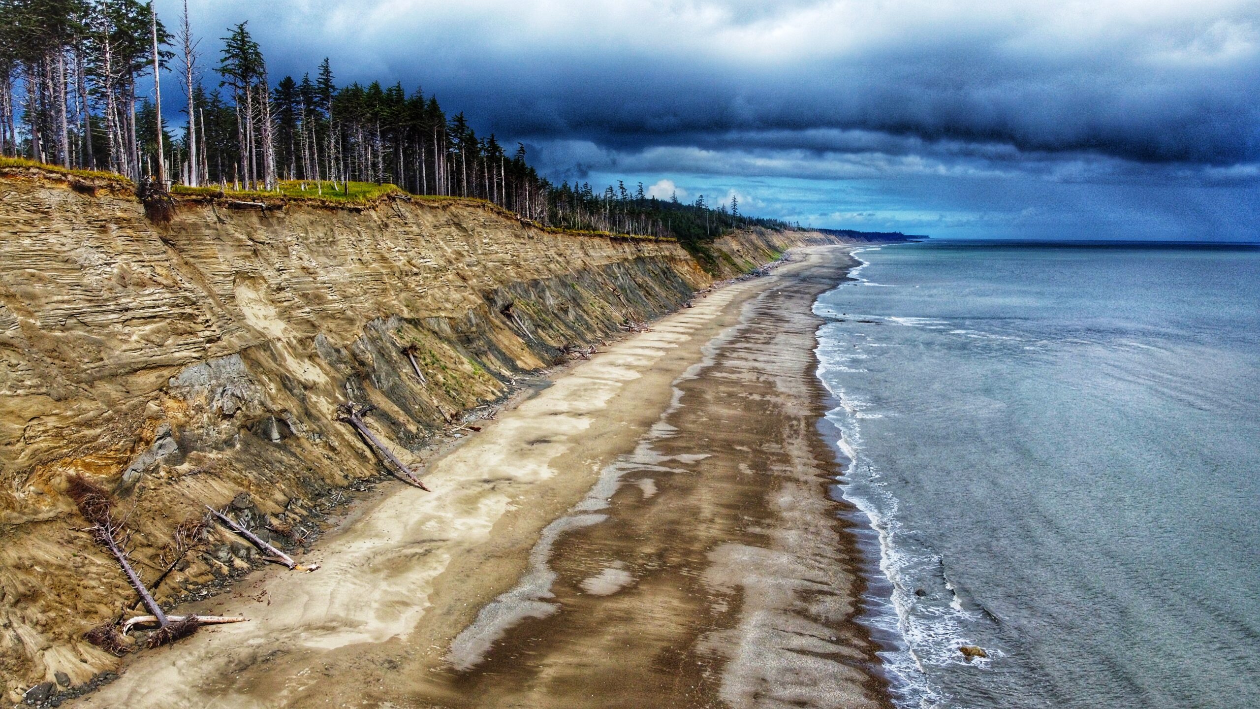
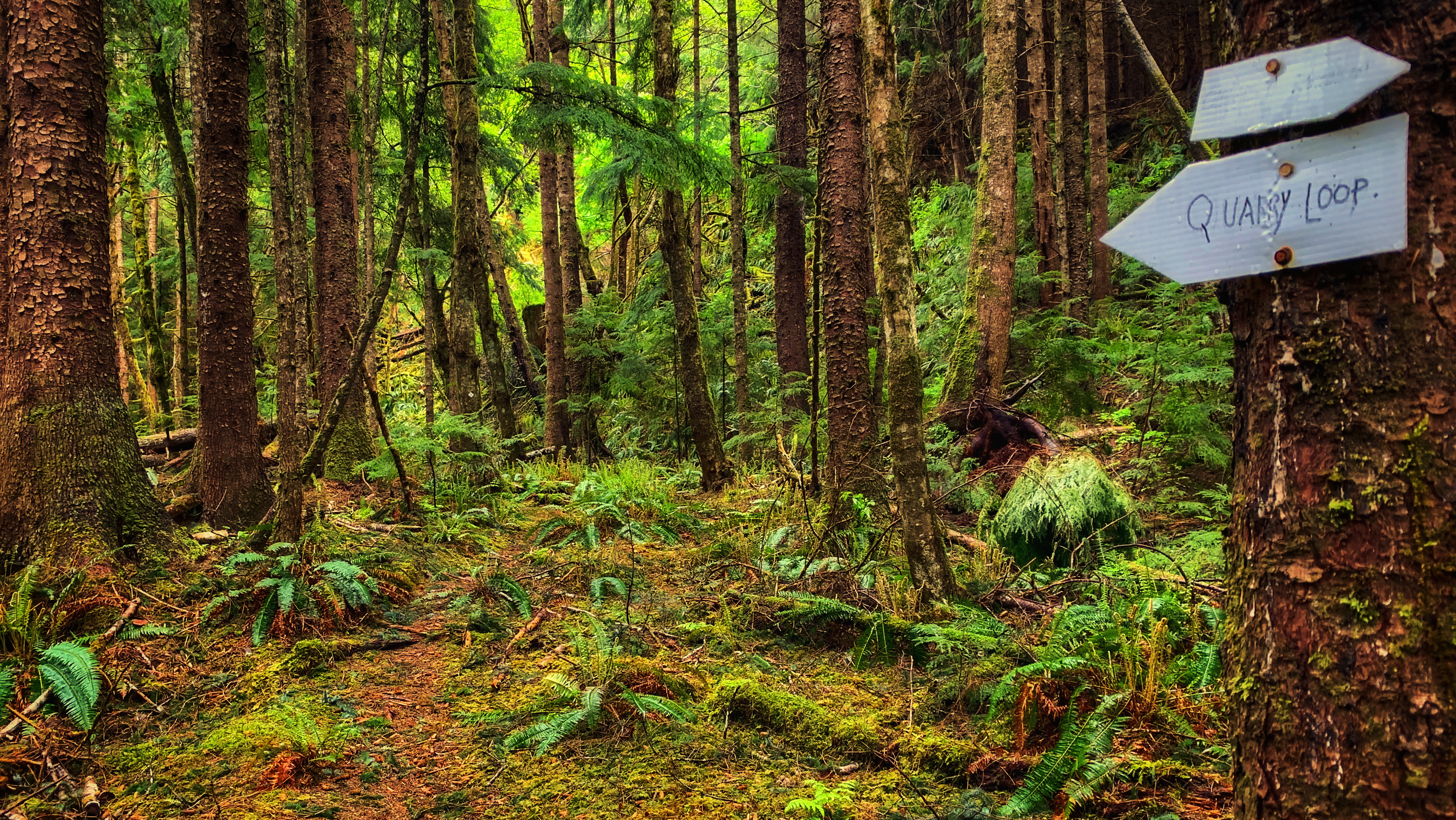
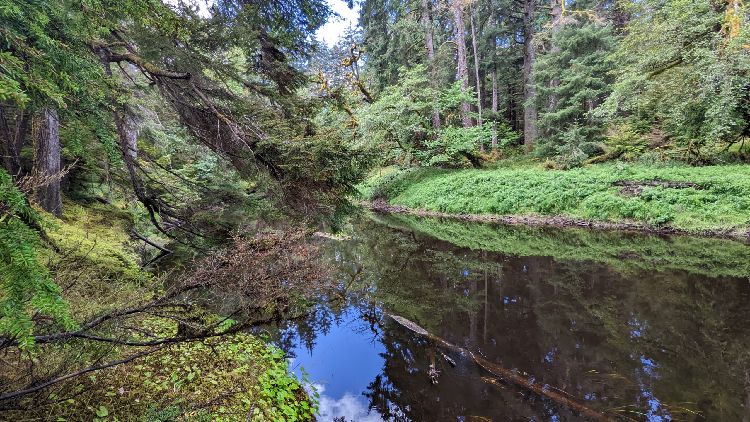
The Cape Fife Trail begins on the north side of the Hiellen River and is mostly flat and level the whole way. After hiking for about 5 minutes, you’ll come upon a wide open space and a fork in the trail. Cape Fife continues to your LEFT (going right will take you onto the Four Corners). Before continuing, we recommend studying the Cape Fife information board also found in this area. It outlines the route and highlights a couple of key features – study it to ensure you’re adequately prepared for the hike.
Author: Robert Williams
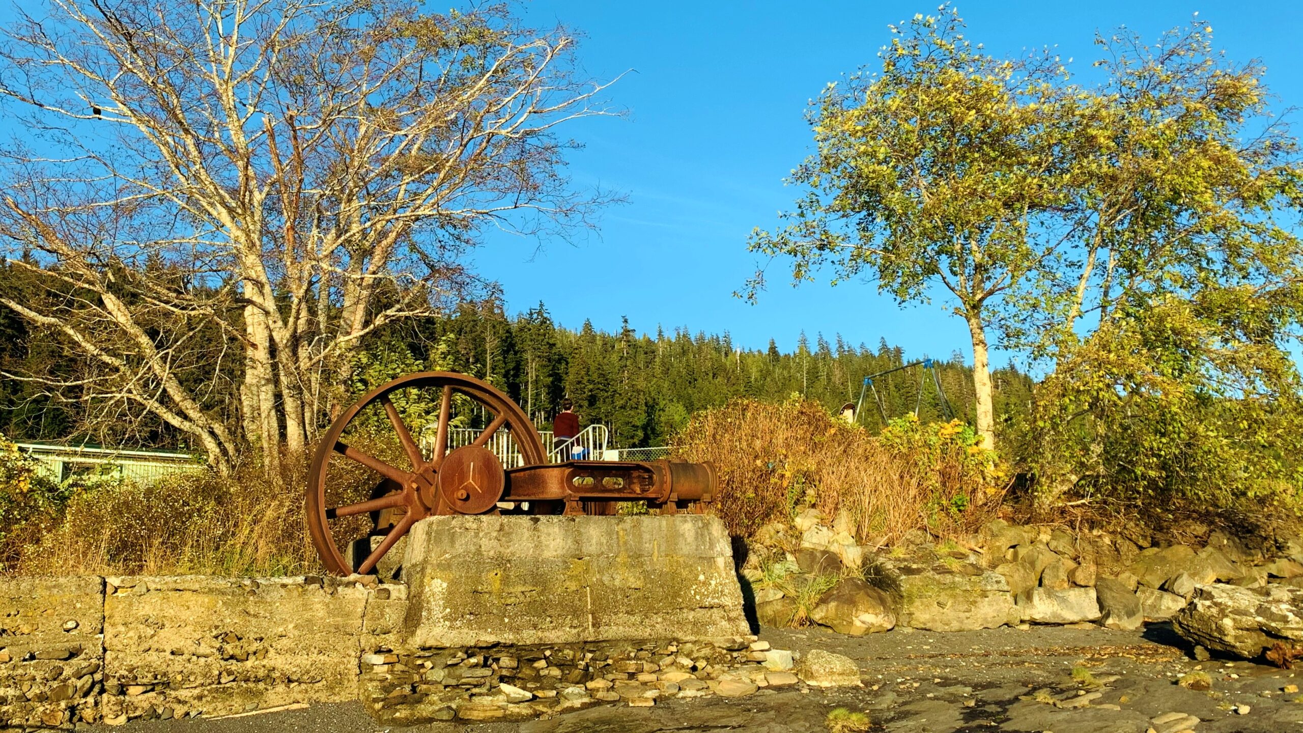
As was noted above, the Dempsey Collinson Memorial Trail is located a few feet behind the western Crabapple Creek trail marker, near the old M&B site. Just a few feet in, you will spy the rusted remains of an old “diesel donkey” hidden behind some bushes to your RIGHT. After a couple of minutes, you’ll come upon the first of many minor rope sections of the hike – this one bringing you down to Crabapple Creek. Cross the creek and continue hiking north.
Charlie Hartie Trail, named after a nearby creek which itself was named after early residents of what was then Queen Charlotte City, located at the top of 6TH street, just off 1ST Avenue (turn right).
On its surface, the Daajing Giids Seawalk is an inspiring urban hike or stroll along the village’s bustling waterfront. At a deeper level, though, this one-kilometre walk takes you deep into the historic heart of Daajing Giids, highlighting key milestones that helped in its own coming-of-age story
The Spirit Lake Connector /K’yuu Aanagungis a user-maintained point-to-point trail in Skidegate. The route is relatively short, clocking in at just over 2 kilometres one-way. Depending upon one’s fitness level, and how long you spend at each of the lookout points, the entire trail can be completed in about 2 hours.
Henderson describes this hike as “a family dune walk for a sunny day.” It certainly is family-friendly, but we’d recommend walking this beach – also known as “Wiggins Road Beach” in the current day – on a low tide; otherwise, you’ll spend the duration hiking over stones of various sizes. The sandy beach is really only exposed during low tides.
Often described as “Haida Gwaii’s version of the West Coast Trail,” the East Beach Trail wilderness hike is a multi-day trek that will take you from the Tlell Day Use area all the way up towards Cape Fife and, if you’re feeling up to it, Rose Spit and Tow Hill. The total length of the hike depends on your desired exit point. If you choose to conclude your adventure at Cape Fife, you’ll have hiked approximately 78 kilometres when it’s all said and done
The “Around the Pond Trail” is easily missed. It isn’t mentioned in any of the sparse trail literature on Haida Gwaii (published or online), nor is it mentioned on the popular Backroad Mapbooks. As such, people find this trail by accident or learn about it from a helpful local. Where is this fabled trail?
For those wishing to access the lower Tlell River and experience the old growth “alley” in a more expedient way and manner, then the northern entrance is the most convenient. To access this trailhead, turn up the short dirt road indicated by Tlell “Farmers Market” signage and then park your vehicle at the nearby soccer fields, just behind the Tlell Fire Hall.
Some 11 years later, the trail is little-known and most hikers walk right on by without even realizing it’s there. I suppose that’s understandable because there is no trailhead marker denoting the route – there’s just some subtle flagging tape off to the side that’s very easy to miss.

