


TLELL DUNES WALK FEATURES:
· Sandy beach
· Early settler history
ABOUT
The “Tlell Dunes Walk” has only ever been mentioned in Fern Henderson’s seminal text, Queen Charlotte Islands: Trail Hikes and Beach Walks (1978). Out of mere curiosity, we decided to check out this beach walkout.
Indeed, while much has changed since Henderson’s book was first published, the directions provided for this particular walk remained virtually unchanged in the current day.
In short, you will find the start of this “beach walk” approximately 3 kilometres south of the Tlell River Bridge and just north of Wiggins Road. A rough dirt road on the ocean side of Highway 16, not far from Hydro Pole 742, indicates the start of this walk.
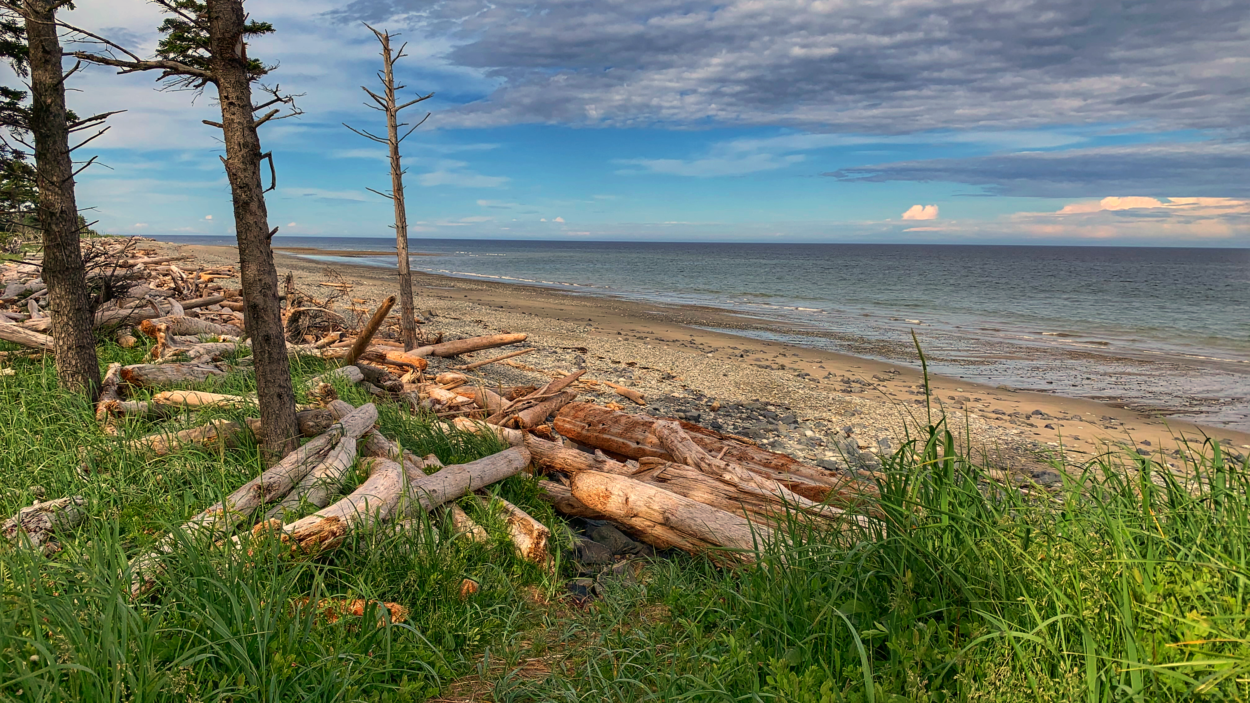
To begin, gingerly make your way over the rocky shoreline and mountains of driftwood to the beach below. Once on the beach, walk approximately 2 kilometres north and link up with the Misty Meadows Loop trail.
Henderson describes this hike as “a family dune walk for a sunny day.” It certainly is family-friendly, but we’d recommend walking this beach – also known as “Wiggins Road Beach” in the current day – on a low tide; otherwise, you’ll spend the duration hiking over stones of various sizes. The sandy beach is really only exposed during low tides.
At low tide, a significant, firm, sandy beach is exposed. The cool waters of the Pacific Ocean may beckon and call you for a swim; or, if beach combing is your thing, the numerous tide pools that typically form may be of interest.
If you choose to walk closer to the marram grass and treeline, keep an eye on some of the fence posts that line this path – they belong to Richardson Ranch and some date back to 1920.
Besides the local settler history on the one hand and the powerful ocean on the other, the major attraction of this walk, according to Henderson, is the presence of sand dunes. In 2023, we view this statement as more of a historic curiosity and testament to the changing shoreline of Haida Gwaii.
There are certainly very minor sand dunes to be seen along this route, but the more notable ones are observed on the Misty Meadows loop trail and nearby Pesuta/East Beach hikes. Perhaps dunes were more significant here 45 years ago but, in the modern day, the beach itself takes center stage.
In any event, after you’ve walked approximately 2 kilometres, you can either continue along the Misty Meadows loop (which you will have entered by this point) or simply turn back and return the way you came. The original exit of this route – a path near the Parks building – has long since disappeared.
DIFFICULTY: Easy
TOTAL DISTANCE: 4 kilometers (return)
TIME: 1hr 20mins
TYPE: Out-and-Back
ELEVATION GAIN: None