Tag: masset trails

  • Cape Fife Trail : Day Hike to East Beach

    Cape Fife Trail : Day Hike to East Beach

    • Cape Fife Trail
    • Cape Fife Trail
    • Cape Fife Trail
    • Cape Fife Trail

    Cape Fife Trail Features:
    East Beach Access
    Old growth forest
    Overnight shelter
    Settler remnants
    Board walk trail parts

    ABOUT

    Cape Fife Trail was established circa 1910 as a settler wagon road to access parcels of land and serve as an important lifeline and access point to East Beach. The wagon road originally started slightly north of the current marked route and terminated at Kumara Lake. The trail now known as Cape Fife was cut in 1972 by the Masset Lions Club, though it does connect with โ€“ and follow โ€“ large sections of the original route (the old wagon road is obvious when youโ€™re walking on it). At just over 11km one-way (signage says 10km, but this is wrong), it is a long but relatively easy hike with very little elevation gain.

    As you hike this route, you will encounter varied landscapes: Rich forest, delicate bogs, intricate sand dunes and endless beaches. Taken as a comprehensive whole, Cape Fife offers a little something for everyone. Whether you choose to hike the whole route, part of it, or camp overnight at East Beach, is entirely up to you. In brief, you can make the hike whatever youโ€™d like it to be.

    LOCATING THE TRAILHEAD

    The Cape Fife Trail is one of the few signed and marked routes on Haida Gwaii. To access the trail, drive north to Naikoon Provincial Park towards Taaw (Tow Hill). Park your vehicle at the Tow Hill parking lot. From here, walk across the Hiellen River Bridge You will see the Cape Fife trailhead to your right. Thus you now begin your epic hike toward Haida Gwaiiโ€™s East Beach!

    HIKING THE TRAIL

    The Cape Fife Trail begins on the north side of the Hiellen River and is mostly flat and level the whole way. After hiking for about 5 minutes, youโ€™ll come upon a wide open space and a fork in the trail. Cape Fife continues to your LEFT (going right will take you onto the Four Corners). Before continuing, we recommend studying the Cape Fife information board also found in this area. It outlines the route and highlights a couple of key features โ€“ study it to ensure youโ€™re adequately prepared for the hike.

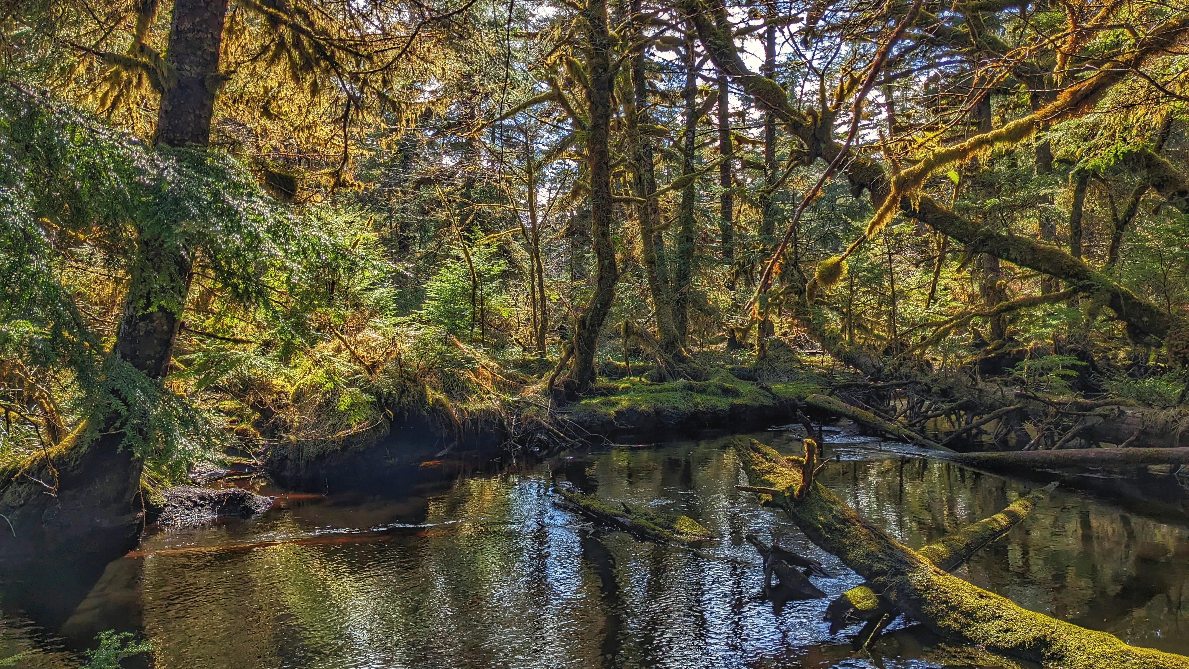
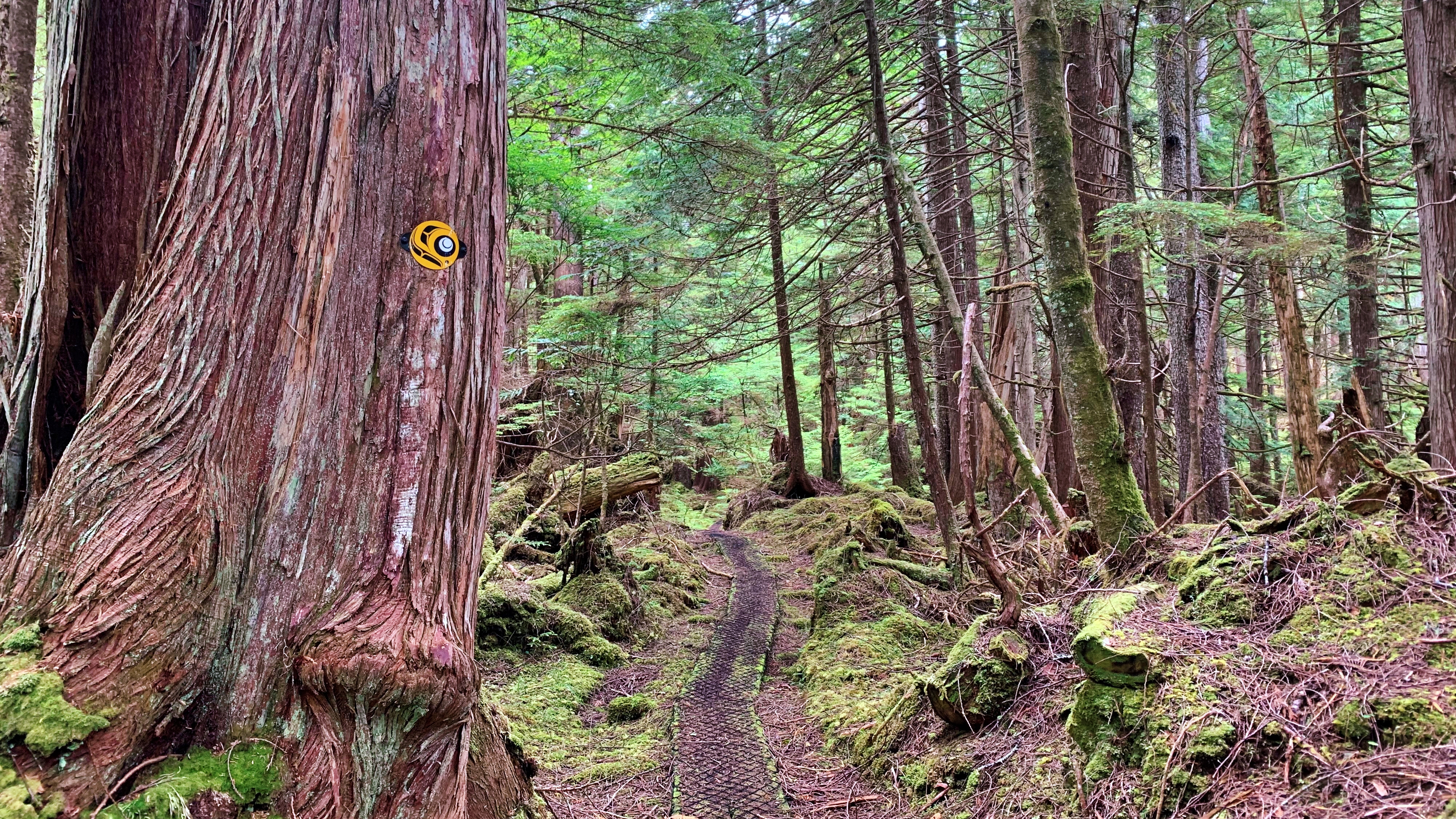
    The first 4 kilometres take you through a beautiful forest environment, including old-growth cedars, hemlock and pine. Thick mosses of various shades of green carpet on the ground and strategically placed boardwalks help navigate a number of potentially miry sections. After clearing the forest, you enter the bog ecosystem and begin crossing the Argonaut Plain.

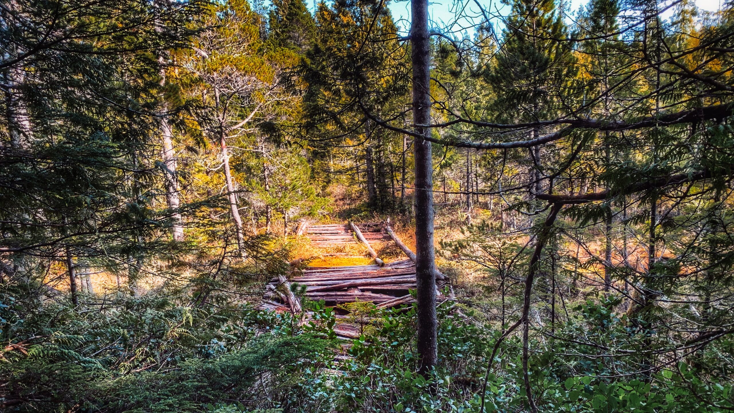
    If youโ€™ve hiked other bog trails on Haida Gwaii โ€“ White Creek, Nadu Homestead or Boulton Lake, for example โ€“ you know they can be tricky on account of the delicate and wet ground. Thankfully, you donโ€™t have to contend with that too much on the Cape Fife Trail because boardwalks and stepping logs line the route; however, we recommend still using caution because a number of the boardwalks in this area are old and in need of repair or replacement.


    In addition, the trail, at this point, has a lot of roots jutting out of the ground โ€“ and this goes on for at least a few kilometres โ€“ making parts of the hike a little more challenging. Nevertheless, just watch your step and enjoy the bounty of Labrador tea that surrounds you.


    An aside: Henderson (1978) notes that at the 5-kilometre mark, on the north side of the trail, a flagged route will take you to Mica Lake in approximately 15 minutes; at the same point, but on the south side of the trail, there are remnants of a homestead. In the 45 years since those words were written, the flagging tape is gone and we did not notice any homestead remnants at this point; however, the ditching, which was all done with pick and spade, is still very much in evidence along various sections of the Cape Fife Trail. We suppose one could still hike to Mica Lake, but be sure to have a compass or directional app with you.


    At about the 7km mark you can hear the waves of Hecate Strait in the distance. The trail also begins a slow descending pattern as you make your way toward the beach. While this part of the trail is mostly clear, roots represent the most significant and sustained obstacle. There is also one area that requires you to get on your knees to crawl under some deadfall.

    As you close in on Cape Fife, you descend some stairs and enter the home stretch! These last few meters, though, are covered with long beach grass, obstructing the trail from view. As such, use caution: Itโ€™s difficult to see what youโ€™re stepping on and thus represents a tripping hazard. Once you clear the long grass, you are at the Cape Fife shelter!


    The Cape Fife shelter was a joint initiative between the Haida Nation and BC Parks. It is built in the traditional longhouse style and contains all of the amenities one could want for a brief break (if hiking Cape Fife as an in-and-out route), or to camp overnight: 4 bunkbeds, wood stove and a small table with a guestbook. An outhouse and a couple of hammocks are also available on-site. Curiously, cellular service is also available here. Kumara Lake, the original terminus of the wagon road, is also visible about one-hundred meters north of the shelter.


    Once at the shelter and East Beach, you might wonder โ€œWhy Cape Fife?โ€ because there is no โ€œcapeโ€ at the trailโ€™s end or within the immediate vicinity. The simple answer is โ€œtime.โ€ After years of erosion from the powerful waves, the โ€œcapeโ€ that once jutted out here has fallen to the sea.


    From Cape Fife, you can simply go back the way you came or make this a much longer hike by walking up East Beach towards the beginning of Rose Spit (roughly 8km) and then hiking south back towards Taaw (roughly 18km).


    While Cape Fife is generally an easy hike, its length makes it challenging for some. Allow anywhere from 4 to 6 hours to complete the hike one-way and be sure to bring plenty of water and snacks. The route is well-delineated with a combination of orange triangles and Ben Davidsonโ€™s trail marker.

    DIFFICULTY: Moderate
    TIME: 5 hours (one-way)
    TYPE: Out-and-Back
    ELEVATION GAIN: Minimal
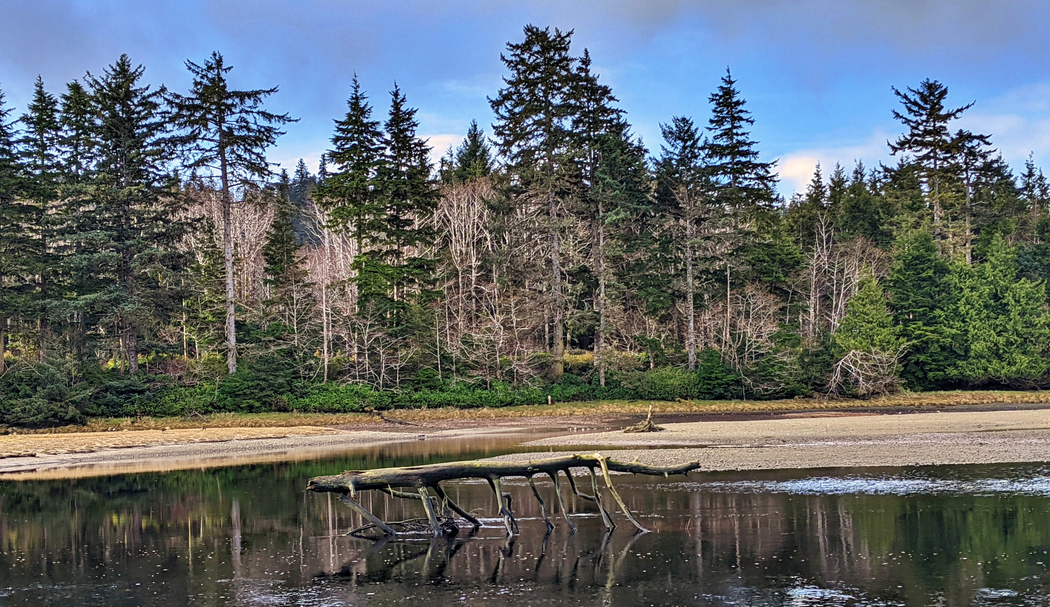
  • Peaceful Stroll up the Sangan River Trail

    Peaceful Stroll up the Sangan River Trail

    • Sangan River Trail
    • Sangan River Trail
    • Sangan River Trail
    • Sangan River Trail

    Sangan River Trail Features
    Fishing access point
    Cultural significance


    Please note: The Sangan River Trail can only be hiked on a receding or low tide.


    ABOUT

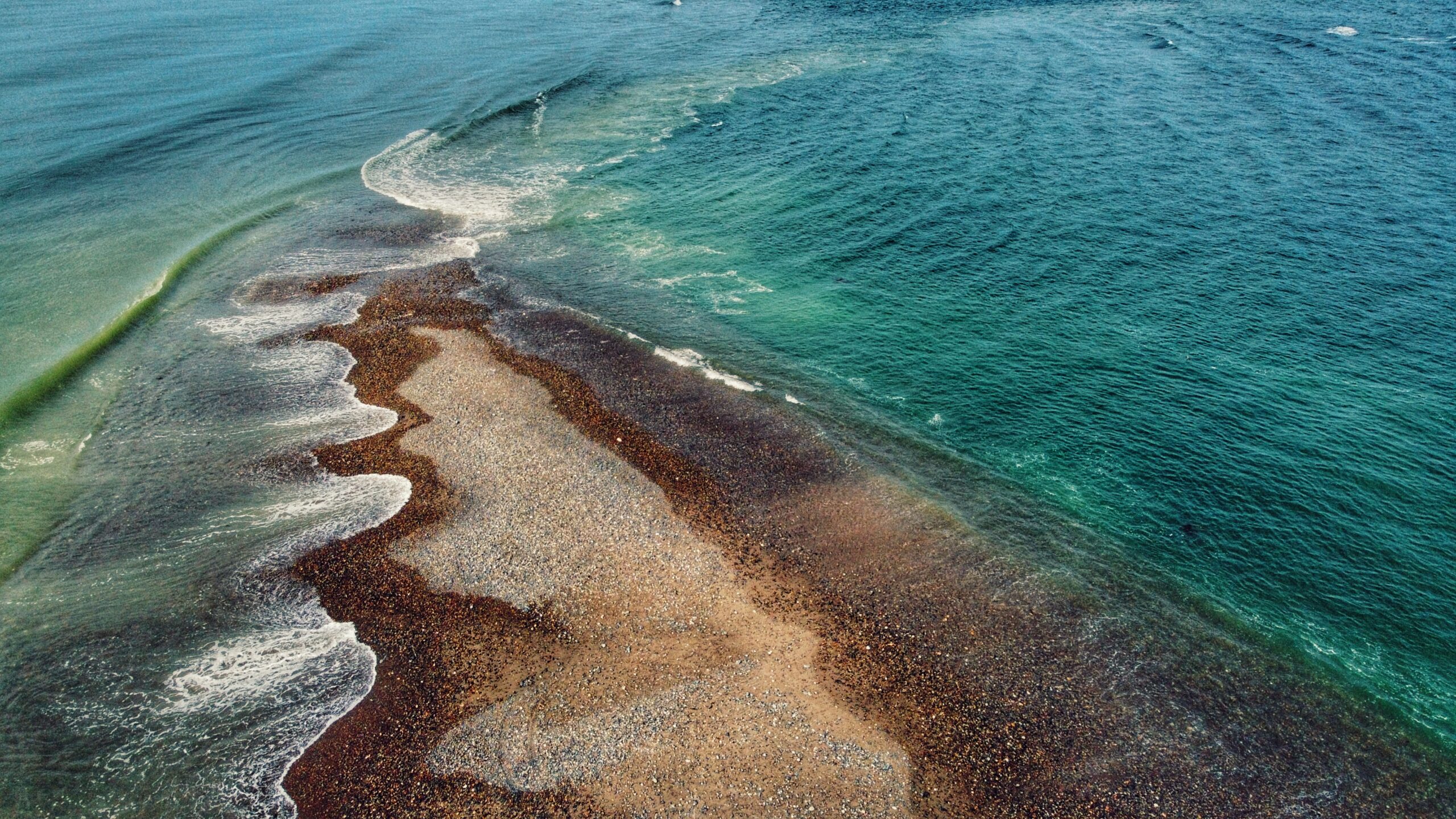
    The Sangan River (SGangan Gandlee) is a culturally significant river for the Haida. For thousands of years, theyโ€™ve used it for culture, food gathering, and recreational purposes. The river slowly meanders out of Naikoon Provincial Park spills out into the Pacific Ocean. Indeed, where the ocean and river meet is like a collision of two different, yet highly related worlds. It makes us recall, and reflect upon, an important Haida value: Gina โ€˜waadluxan gud ad kwaagid โ€“ Everything depends on everything else.

    The Sangan River Trail is perhaps better described as a river walk than an actual trail. There is no formal trailhead, nor trail markers denoting the route; however, it is very easy to find and represents a peaceful walk โ€“ one that allows you to disconnect from the wired world and re-connect with nature and the elements. To access the Sangan River Trail, drive 10-minutes outside of Masset until you come upon the Sangan River Bridge. Park your vehicle somewhere safely off the road and cross the bridge (the side nearest Limberlost Place). Now simply descend to the banks of the Sangan River. From this point, the trail runs approximately 900 meters before rounding the point to South Beach and connecting to the epic 25-kilometre (one-way) Tlโ€™lellan to Old Massett Trail โ€“ an epic beach walk that takes you from Tow Hill into Old Massett, or vice versa.

    From a recreational perspective, the Sangan River Trail represents an easy walk for people of all skill levels because the terrain is flat. Most people, if using it for hiking, tend to connect with South Beach for a more epic and worthwhile adventure; otherwise, the Sangan is primarily used for kayaking and as a world-renowned fishing river: Pink, Coho and Chum Salmon are regularly caught here.

    In many respects, walking the Sangan River Trail reminded me of the larger Misty Meadows beach loop trail. In both instances, youโ€™re walking the banks of famous fishing rivers; both rivers are low, calm and meander for many a mile; and both carry with them a deep cultural significance far greater than any of us could ever explain. At dayโ€™s end, though, the Sangan River, much like the Tlell further south, calms the mind and relaxes the soul.

    DIFFICULTY: Easy
    TOTAL DISTANCE: 1.8km (return)
    TIME: 40 minutes
    TYPE: Out-and-Back
    ELEVATION GAIN: None

  • Rose Spit – First People at the Edge of the World

    Rose Spit – First People at the Edge of the World

    • Rose Spit
    • Rose Spit
    • Rose Spit
    • Rose Spit

    ROSE SPIT FEATURES
    ย ย Edge of the World
    Haida Creation Story
    Crab and clam harvesting

    ABOUT

    Located on the northeastern tip of Graham Island, and wholly within Naikoon Provincial Park, Rose Spit is perhaps best described as a long beach walk rather than a trail hike. 

    To begin your North Beach trek towards โ€œthe Spit,โ€ walk down the dirt road from the Hiellen Cabins and onto the beach: You are now at the trailhead/start of your epic walk to Rose Spit. 

    At 18 kilometres one-way, a proper walk out to the precipice should be well timed on a falling tide because the last few kilometres do get submerged by the waves on a high tide. Thus, walk only as far as you believe to be reasonable โ€“ you are completely at the mercy of the tides here!

    While the hike to Rose Spit is entirely on flat ground, the hard sand and, later, pebbly beach are surprisingly tough on oneโ€™s feet! Be sure to wear comfortable footwear, otherwise, the long hike back to Towhill Road and the Hiellen Cabins could be a rather painful affair. Still, the hike is well worth the effort because thereโ€™s surprisingly a lot to see.

    As you walk along North Beach, youโ€™ll undoubtedly notice plenty of vehicle traffic. The majority will be trucks and ATVs, but itโ€™s not uncommon to see standard-size vehicles on the beach as well! Most are joyriding โ€“ enjoying the endless kilometres of sandy beach โ€“ but some are also gathering traditional foods like cockles, razor clams and Dungeness crab. If youโ€™re lucky, one of the locals just might show you how to catch a deceptively speedy razor clam, or offer up a freshly caught crab โ€“ true gifts of the sea!

    At about the 5-kilometre mark, youโ€™ll come upon one of this areaโ€™s unnatural attractions: The small shipwreck of the Kelly Ruth, which has been here since 1994. Like the larger Pesuta along East Beach, the Kelly Ruth is surprisingly photogenic, offering many unique angles and contrasts with the natural landscape. 

    It is also at this point, if youโ€™ve chosen to drive onto the beach using a small vehicle, that weโ€™d advise you stop and walk the rest of the way to Rose Spit because the compact sand begins to give way to a pebbly beach much more suited to ATVs and 4×4 trucks.

    Approaching the end of Rose Spit, things begin to come into perspective. Turn around and view Tow Hill: It looks so small off in the distance. Now, turn back around and look at the edge of the world. Roughly a kilometre wide at the forestโ€™s edge, Rose Spit narrows to just a few feet before disappearing beneath the waves of the Pacific Ocean. 

    As you stand here at the precipice of Haida Gwaii, you have the wind at your back; Dixon Entrance and North Beach on your left; and, the Hecate Strait and East Beach on your right. The pebbly Spit, wet sand and unique agates rest at your feet. When youโ€™re out here, itโ€™s easy to enjoy the cool sea breeze and rejuvenating wind . . . and then you notice a clam shell at your feet.

    Rose Spit is a place of high cultural significance to the Haida. The area figures prominently in their creation stories. As told in the story โ€œRaven and the First Man,โ€ Raven found himself alone day, flying over Rose Spit. 

    Landing on the beach, Raven noticed โ€œan extraordinary clamshell at his feet, and protruding from it were a number of small creatures.โ€ He coaxed them out of the shell and, even though some were hesitant, โ€œthey emerged from the partly open clamshell to become the first Haida.โ€ 

    This important creation story is beautifully captured in Bill Reidโ€™s โ€œRaven and the First Menโ€ carving at the UBC Museum of Anthropology.

    Knowing the Haida Creation Story adds a layer of complexity to oneโ€™s Rose Spit experience. For us, it makes this so much more than a beach walk or a place to observe rare plants like Sea Bluebells. 

    It brings into synthesis Haida culture, history, myth and physical geography. Standing at the tip of Rose Spit and looking back toward Tow Hill, we cannot help but come to a stark realization: No matter how imperfect we are, we each have a place in this world and we owe it to ourselves to protect it.

    DIFFICULTY: Moderate
    TOTAL DISTANCE: 36 kilometers (return)
    TIME: 12 hours
    TYPE: Out-and-Back
    ELEVATION GAIN: None

  • Four Corners Trail: An Unmaintained Wagon Road

    Four Corners Trail: An Unmaintained Wagon Road

    • Four Corners Trail
    • Four Corners Trail
    • Four Corners Trail

    FOUR CORNERS TRAILS
    Naikoon Provincial Park
    Early Settler history

    ABOUT

    Four Corners Trail is located immediately east of the Hiellen River Bridge in Naikoon Provincial Park. The route is a settler wagon road, established initially circa 1910, to access parcels of land further inland. To access this trail, begin at the Cape Fife Trailhead and follow that route for approximately 5 minutes.

    You will come upon an information board detailing the Cape Fife route. A marker to your left will signify the continuance of the 10 km-long Cape Fife trail. If you look to your RIGHT, you will see an unmarked but obvious trail โ€“ this is the beginning of the Four Corners route.

    The full length of the Four Corners Trail is approximately 5 kilometres; however, today, only the first 2.5 kilometres or so can be safely hiked. Significant blowdown and overgrowth make walking the full route โ€“ eventually connecting with the more popular White Creek Trail and Carr-Whittle routes โ€“ hazardous. The first part of the trail, however, makes for a pleasantly short hike.

    The old settler wagon road is now fringed with tall trees and thick mosses, giving an almost otherworldly appearance. Some massive cedar trees line the route, their low-hanging branches reminiscent of a scene from Sleepy Hollow! As we hiked the trail, we kept an eye out for previous human habitation. 

    Unfortunately, besides the old wagon road, the only evidence of previous human development we saw was some old machinery near the start of Four Corners and the old drainage ditches, which were all dug with pick and spade. As you observe these scenes, itโ€™s not difficult to imagine what life mightโ€™ve been like in the early 20th century, as settlers attempted to establish roots and carve new routes.

    About mid-way along the hike-able portion of the trail, youโ€™ll round a corner and enter an area weโ€™ve dubbed โ€œcedar alleyโ€ due to the significant number of large cedar trees that line this section of the route. Keep a close eye on these special trees because a few of them are CMTs โ€“ they were โ€œculturally modifiedโ€ by the Haida hundreds of years ago. It is a powerful reminder that youโ€™re treading on ancient Haida territory.

    You will eventually come upon Swan Creek, which is a tributary of the Hiellen River. Of note, in her important book, Queen Charlotte Islands Trail Hikes and Beach Walks (1978), Fern Henderson reported that the bridge over Swan Creek was โ€œvery precarious and may not be usable.โ€ 45 years later the man-made bridge is all but gone.

    As such, this is the logical end-point of the Four Corners route. We say โ€œlogicalโ€ because while it is possible to go beyond the creek using a narrow natural log bridge, this is ill-advised for those not steady on their feet!

    If you wish to hike this trail, parking is available in the nearby Tow Hill parking lot. It is advisable to bring a compass and/or use an app like BRMB or AllTrails as this is an unmarked/unmaintained route that is quite overgrown.

    DIFFICULTY: Moderate
    TOTAL DISTANCE: 5km return (hikeable portion)
    TIME: 2.5 hours
    TYPE: Out-and-Back
    ELEVATION GAIN: None

  • Serengeti of Haida Gwaii – White Creek Trail

    Serengeti of Haida Gwaii – White Creek Trail

    WHITE CREEK TRAIL FEATURES
    Bog environment
    Settler remnants


    ABOUT

    Situated within Naikoon Provincial Park, White Creek Trail is a relatively flat 3.5-kilometre out-and-back trail. The trail, which is an early 20th-century settler wagon road, begins on the west side of White Creek, near the bridge. Youโ€™ll see a small sign โ€“ the trailhead marker โ€“ indicating that the route is not maintained.

    Despite this, itโ€™s clear the trail is โ€œuser maintainedโ€ because it was clear and easy to navigate for the duration of our hike. The first kilometre of the hike takes you through a beautiful second-growth forest, carpeted with thick green moss, along an unmistakable wagon road. 

    As you walk this section itโ€™s not difficult to imagine the old settlers, in their horse and buggy, trudging along to their homesteads. In the current day, besides the obvious road, the hand-dug ditches and corduroy bridges are all that remain of this pioneering era along White Creek.

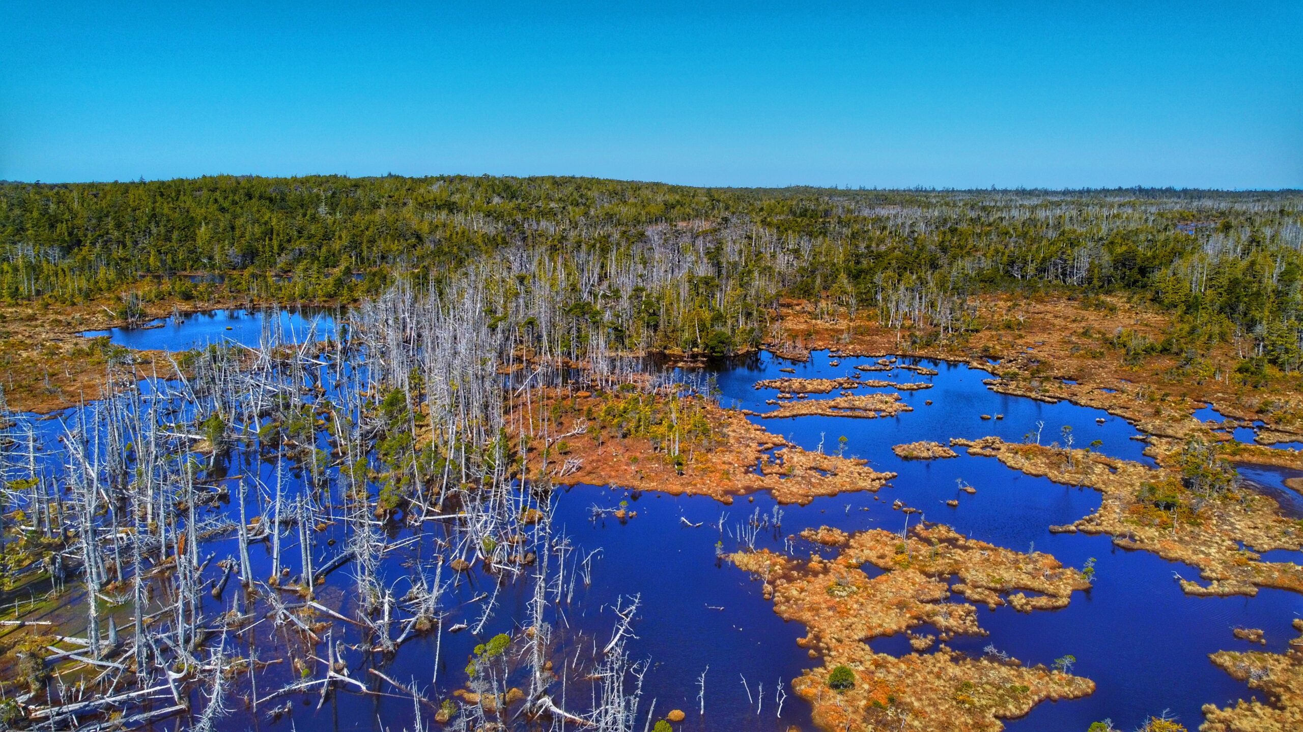
    After about 30 minutes or so, youโ€™ll emerge from the brush into what Go Haida Gwaii has described as โ€œHaida Gwaiiโ€™s Serengeti.โ€ The unique bog ecosystem โ€“ with its small ponds, grassland, and twisted and stunted pines โ€“ is certainly reminiscent of the African Savannah! As you hike this section of the White Creek Trail, youโ€™ll notice several small side trails, all of which provide access to the bog. 

    Weโ€™d recommend taking your time here to explore but do tread gently. Depending on the time of year you visit, itโ€™s possible to observe Shooting Stars, Labrador Tea, Sundews, and a host of other plants endemic to this environment. Who knows, you might even hear the frat boy-like calls of male grouse in the distance!

    The bog section of White Creek Trail runs for about 2.5 kilometres before you come upon the โ€œtrail endsโ€ signage. If youโ€™re wearing good boots, it is possible to cross Kliki Damen Creek and continue some 19 kilometres, past the Harelda Lakes, all the way to East Beach along what eventually becomes the Carr-Whittle Trail. If you do this, though, please note that the route is not marked or maintained.

    While there are other trails on Haida Gwaii offering access to bog environments (Nadu Homestead and Regier Lake, for example), White Creek is the most popular and, weโ€™d suggest, photogenic. 

    If you visit, take your time here. The mystical and magical effect of forest and bog still occupies and entices the mind!


    DIFFICULTY: Easy
    TOTAL DISTANCE: 7 kilometers (return)
    TIME: 3 hours
    TYPE: Out-and-back
    ELEVATION GAIN: Minimal

  • A Historic Settler – Nadu Homestead Trail

    A Historic Settler – Nadu Homestead Trail

    NADU HOMESTEAD TRAIL FEATURES
    Bog environment
    Settler remnants
    Harvesting


    ABOUT

    We first became aware of the Nadu Homestead Trail thanks to โ€œBackroad Mapbooksโ€ (physical maps available at the Daajing Giids Visitor Centre). Really, if BRMB didnโ€™t indicate the location of trails on Haida Gwaii weโ€™d probably miss most of them because a good number donโ€™t have any official signed trailheads. Of course, even with the guide, some trails can be a bit tricky to locate.

    The trail is a case in point. When we learned of this route, I recall thinking, โ€œhuh? Weโ€™ve driven by Nadu Road and donโ€™t recall seeing a trail just off the highway!โ€

    The Nadu Homestead Trail โ€“ an old settler wagon road โ€“ is located approximately 20 kilometres east of Port Clements, heading towards Masset. Once you see the intersection for Nadu Road, youโ€™ll know youโ€™re in the right place โ€“ the trail is direct across the highway. 

    Unfortunately, thereโ€™s no real parking available; so, if you wish to hike the trail, weโ€™d recommend parking on the side of Nadu Road and then walking across Highway 16 to the trail. There is no formal trailhead marker, but you should be able to see the trail partially obstructed by thick salal.

    Once you push your way through the thick salal bushes, the trail opens up into a visible wagon road. From here on out, the trail stretches just over 2 kilometres one-way and takes you through a unique bog environment and some old-growth corridors. Navigating the bog can be a bit delicate and very wet, so make sure you have waterproof footwear and be mindful of where you tread so as not to disturb the flora endemic to the area.

    As we hiked the route, it became readily apparent that the trail is scarcely used anymore. Thereโ€™s little in the way of markers along the trail; however, this shouldnโ€™t dissuade potential hikers. The route is literally a straight line, so itโ€™s difficult to get lost. Just make sure you donโ€™t stray from the trail because parts are extremely overgrown and one could get easily disoriented.

    The Nadu Homestead Trail essentially comes to an end at an old dilapidated bridge. While it is possible to cross using some creative techniques, we donโ€™t feel itโ€™s worth the effort (and risk) because the route ends a few minutes later, anyway, at what was likely the Hendersen homestead.

    Why would one wish to hike this trail? Well, thereโ€™s the historical aspect: itโ€™s an old settler wagon road, built circa 1910, to access parcels of land further inland. As such, you can see remnants of this early effort to โ€œdevelopโ€ Haida Gwaii: The clear evidence of the wagon road itself; the hand-dug ditches along the wagon road; old corduroy bridges (especially at the bog); and, vestiges of settler homesteads.

    Indeed, itโ€™s not difficult to use oneโ€™s imagination and transport yourself back to the early 20th century and picture ye olde horse and buggy ambling about these old roads!

    Beyond history, the Nadu Homestead Trail also offers an opportunity to explore and experience unique flora: Labrador Tea, Cow Berry, bog rosemary, cloudberry, and fairly slippers, amongst a whole host of others, call this area home.


    DIFFICULTY: Easy
    TOTAL DISTANCE: 4.2 kilometers (return)
    TIME: 2 hours
    TYPE: Out-and-Back
    ELEVATION GAIN: Minimal

  • Tow Hill and Blow Hole Trails – An Essential Experience

    Tow Hill and Blow Hole Trails – An Essential Experience

    • Tow Hill
    • Blow Hole
    • Tow Hill
    • Two Hill

    TOW HILL & BLOW HOLE TRAIL FEATURES
    Haida legend
    Basalt rock formations
    Unobstructed views


    ABOUT

    Probably the most quintessential and well-known of Naikoon Provincial Parkโ€™s attractions, the Tow Hill and Blow Hole Trails hiking routes are easy and family-friendly, thanks to boardwalks that go their entire length. At the trailhead, which is approximately 26 kilometres east of Masset, youโ€™ll be greeted by two small Haida totems, both of whom sit on either side of a large infographic. This interpretive panel helps set the context for the hike youโ€™re about to embark on.

    It enunciates important cultural, historic and environmental information. Notably, and keeping in line with the โ€œaccessibleโ€ theme, the information board includes colour contrasts and braille. The images can also be โ€œreadโ€ with your fingertips.

    From the trailhead, hike a little over 200 meters along the wide, hard-packed dirt path. Along the way, youโ€™ll come upon another important feature: A four-track solar-panelled talking sign: Hear a traditional Haida welcome, a Haida song, and the legend of the โ€œBig Spider.โ€

    Indeed, this network of trails โ€“ perhaps more than any other on Haida Gwaii โ€“ does much to entrench you in this space and this place; that is, Haida territory.

    Once you hit the beautifully constructed boardwalk โ€“ a partnership between Parks and Old Massett Village Council โ€“ you have two options: A hike up to the Tow Hill viewing area (just over 900 meters) or a hike towards the beach and blow hole (just over 700 meters). Each trail, from this point, takes approximately 30 minutes and 15 minutes, respectively.


    Tow Hill Trail

    Steeped in Haida lore, Tow Hill, or Taaw Tldรกaw, is a magnificent volcanic plug formed from eruptions of molten lava some 2 million years ago. Jutting out of the ocean, it is, unquestionably, the most distinguishing geographic feature of Naikoon Provincial Park. Standing at nearby Agate Beach, or North Beach, it dwarfs you with its size; in fact, you can even see it off in the distance while hiking White Creek or enjoying the epic Tlโ€™ellan to Old Massett beach route. Because of its prominence in literature and advertising, Taaw Tldรกaw is an iconic image and is synonymous with Haida Gwaii.

    Besides its awe-inspiring natural beauty, and deep connection to Haida lore, Taaw Tldรกaw and the surrounding area also make for some of Haida Gwaiiโ€™s best hiking. Once you reach the boardwalk, go LEFT to continue hiking toward Tow Hillโ€™s zenith.

    As noted, the hike is easy, but the incline does increase the higher you go. Along the way, youโ€™ll cross over some minor boggy sections and luxuriantly green moss-covered trees. Take your time to fully appreciate the natural and supernatural beauty of Haida Gwaii as it surrounds and enchants you with its lush rainforest, light mist and heavy cultural traditions.

    At about the mid-way point, you come upon the first viewing platform. From here, you can look out onto North Beach, towards Rose Spit โ€“ another place steeped in Haida tradition. Once you reach the summit of Taaw Tldรกaw, take a moment to breathe in the fresh sea air. From your perch, some 125 meters high, you can see Agate Beach below; the expanses of Naikoon Provincial Park; Dixon Entrance; and, on a clear day, even the shores of Alaska.

    Be warned, though, that it is generally quite windy at the top of Tow Hill โ€“ something clearly in evidence by the wind-swept trees just outside the viewing platform! Once youโ€™ve had your fill, descend the trail until you come upon a connector to the Blow Hole.


    Blow Hole Trail

    For our purposes, letโ€™s assume youโ€™re starting your hike from the Tow Hill/Blow Hole trailhead. Again, walk about 200 meters alongside the Hiellen River to the boardwalk. This time, go RIGHT towards the Blowhole. The hike is short โ€“ about 15 minutes โ€“ and provides some nice ground-level views of the Hiellen River, Christian Whiteโ€™s monumental pole, and North Beach. Lush mosses and a fairly dense forest greets you opposite Oceanside.

    Once you reach the end of the short Blow Hole Trail, youโ€™ll find detailed information boards on the origins of โ€œTowโ€ and how he separated from his brother โ€œTowustain.โ€ The Haida history weโ€™re privy to at this site โ€“ combined with nearby Rose Spit and Hiellen โ€“ enriches the overall experience and improves our appreciation of this mystical place. In this regard, Tow Hill and the surrounding area are a definite โ€œmust-visitโ€ on Haida Gwaii.

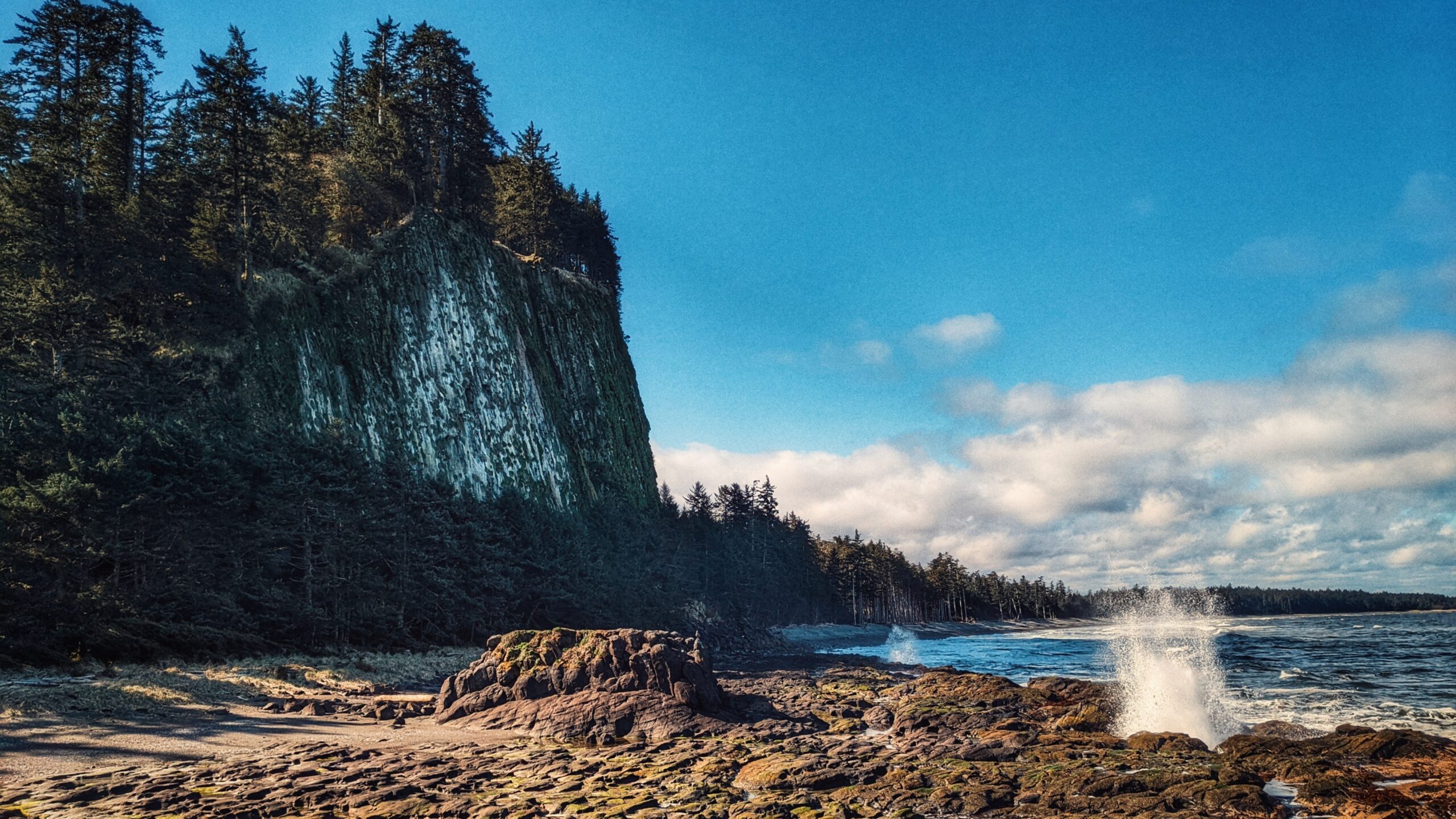
    Descending the stairs from the boardwalk, youโ€™re treated to a magical space: A coastline covered in lava rock formations, imposing rock cliffs and intense wave action, battering the shoreline. On a rising tide, you will see the โ€œblow holeโ€ in action โ€“ a truly special sight! A word of caution: We advise that you steer clear of the rockโ€™s edge on stormy days. The waves are larger and stronger and it is not uncommon for the odd rogue wave to hit this area.


    DIFFICULTY: Easy
    TOTAL DISTANCE: 2 kilometers return (Tow Hill); 1.8 kilometers return (Blow Hole)
    TIME: 1.5 hours
    ELEVATION GAIN: 125 meters


  • Hydro Pole 97 Trail – Easy Beach Access to Naikoon Provincial Park

    Hydro Pole 97 Trail – Easy Beach Access to Naikoon Provincial Park

    HYDRO POLE 97 TRAIL FEATURES
    Sand dunes
    Access to North Beach


    ABOUT

    The Hydro Pole 97 Trail Beach Access is pretty self-explanatory. It is one of many such trails in and around Naikoon Provincial Park that provides beach access; however, this one seems to receive special treatment, at least insofar as being mentioned in a couple of publications: The Haida Gwaii Trails Strategy (2011) and Backroad Mapbooks (available at the Daajing Giids Visitor Centre).

    While we find this rather curious, it is nevertheless a nice, albeit very short, trail. The trail does not have formal trailhead signage, but it is easy enough to find. As youโ€™re driving along Tow Hill Road, just keep an eye out for Hydro Pole 97. If youโ€™re driving north from Masset, the pole will be on your LEFT. The unmarked trailhead will be obvious and almost immediately beside the hydro pole.

    If you wish to access the trail, youโ€™ll have to park along the side of the road. While not formally maintained, this short trail is in good shape. The first part of the route takes you through a mix of young spruce and alder trees before entering the sand dune environment.

    Once you hit the sandy dunes, youโ€™ll notice some old fence posts โ€“ remnants of an earlier time. Please tread lightly along the dunes as these are very fragile environments home to unique flora.

    Because the Hydro Pole 97 trail is so short (approximately 235 meters one-way), it is not used primarily as a hiking trail; rather, as the name implies, people use it more for the easy access it provides to the south beach.

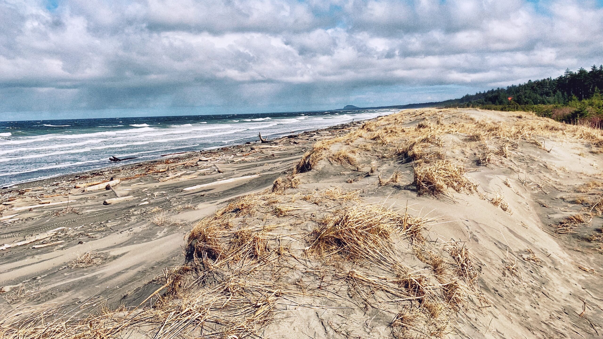
    The beach is often windy but, during low tides, you have miles upon miles of compact grey sand at your disposal. Once here, you can relax, and enjoy the sun and roar of the waves; or, you can use this as a jumping-off point to partake in the epic 50km Tlโ€™lellan to Old Massett beach hiking route.

    Having visited this short route numerous times, weโ€™ve been impressed with how quickly the landscape changes from year to year. The erosion at the sand dunes has been quite pronounced over the last few years. It is inching ever closer to the tree line!


    DIFFICULTY: Easy
    TOTAL DISTANCE: 470 meters (return)
    TIME: 5 minutes
    TYPE: Out-and-Back
    ELEVATION GAIN: None

  • Naikoon Canoe Trail Along Tow Hill Road

    Naikoon Canoe Trail Along Tow Hill Road

    NAIKOON CANOE TRAIL FEATURES
    Haida Canoe
    Agate Beach Views
    Venue Amenities


    ABOUT

    The โ€œNaikoon Canoe Trailโ€ is very short at just 140 meters one-way. It is also unmarked, but well worth the effort to find. Having seen and witnessed many blank or old Haida Canoes over the last few years, we were both keen and curious to locate this one after having seen it in some tourist photos.

    โ€œWhere was it?โ€ we pondered. Indeed, we knew the canoe was in Naikoon Provincial Park โ€“ and not too far from Tow Hill โ€“ because existing pictures made that plainly obvious. We initially thought weโ€™d have to walk west to the end of Agate Beach but, as we discovered during a long day of hiking, that wasnโ€™t necessary.

    After hiking the Tow Hill/Blow Hole loop and Four Corners Trail, we began returning to Masset. As we drove past Agate Beach, we spied a small pullout on the right-hand side of the road (if COMING from Masset, the pull-out will be on your left, approximately 450 meters AFTER the road to Yakan Point). Thereโ€™s enough room here for two vehicles to fit rather snuggly.

    Once parked, youโ€™ll see a small ramp and a short trail lined with clam shells. This is the trail to the โ€œNaikoon Canoe.โ€ Itโ€™s an easy walk, suitable for all ages, and only takes about two minutes to complete. At the trailโ€™s terminus point, youโ€™ll see a beautiful set-up: A number of pews and an archway, with the ancient Haida Canoe resting behind them.

    The space has obviously been established for important celebrations like weddings, and it is picture-perfect! Imagine tying the knot on a clear day: An old Haida Canoe mere feet away and Tow Hill functioning as an epic backdrop. The trickster Raven chuckles in the background or a majestic eagle flying overhead.

    The short trail obviously isnโ€™t used for recreational hiking, but it serves an essential functional purpose. And, hey, if youโ€™re not coming here to get married, at least you can take in a stunning photo and some history without travelling too far off the beaten path.


    DIFFICULTY: Easy
    TOTAL DISTANCE: 280 meters (return)
    TIME: Less than 10 minutes
    TYPE: Out-and-Back
    ELEVATION GAIN: None

  • A Birdwatcherโ€™s Delight – Stroll the Delkatla Nature Sanctuary Trail

    A Birdwatcherโ€™s Delight – Stroll the Delkatla Nature Sanctuary Trail

    • Delkatla Nature Sanctuary Trail
    • Delkatla Nature Sanctuary Trail
    • Delkatla Nature Sanctuary Trail
    • Delkatla Nature Sanctuary Trail

    DELKATLA NATURE SANCTUARY TRAIL KEY FEATURES
    Delkatla
    Bird-watching
    Dog-walking


    ABOUT

    Described by the Village of Masset as โ€œone of [its] main attractions,โ€ the Delkatla Nature Sanctuary Trail was established in 1969 and is a 290-hectare intertidal wetland area that serves as a โ€œcritical migratory stopover for birds during spring and fall migration, an important wintering waterfowl area and home to many summer nesting species.โ€ Since its establishment, some 50 years ago, over 140 species of bird have been observed here. We think the Nature Sanctuary is best appreciated as a two-part experience.

    The first part of the Delkatla experience is the Nature Centre, which is located at Trumpeter Drive. Admission is a very reasonable $2. The Centre is a place of orientation: Here you can learn a good deal about the local flora and fauna by observing a number of detailed write-ups on flowers, plants, and muskeg. The Centre also features a few โ€œstuffedโ€ examples of birds from the area. Itโ€™s a small space, but it provides a wealth of information.

    The second part of the Delkatla experience is the actual nature walk itself. The walk is approximately 5 kilometers in length and takes you on a mix of trails and roadside. Depending on your purpose, you may or may not find this segment of the experience somewhat dull because a fair length of the route is actually on roads. In fact, if you wanted, you could โ€œcheatโ€ and drive along a significant portion of the sanctuary without diluting oneโ€™s overall enjoyment โ€“ many of the viewing platforms are along the road, or just off it.

    If beginning your hike at the Nature Sanctuary, walk north along Trumpeter Drive for approximately 700 meters until you hit Northwest Drive. From here, you leave the paved road and start walking northeast along a gravel dike road, bringing you deeper into the sanctuary and its unique wetland environment.

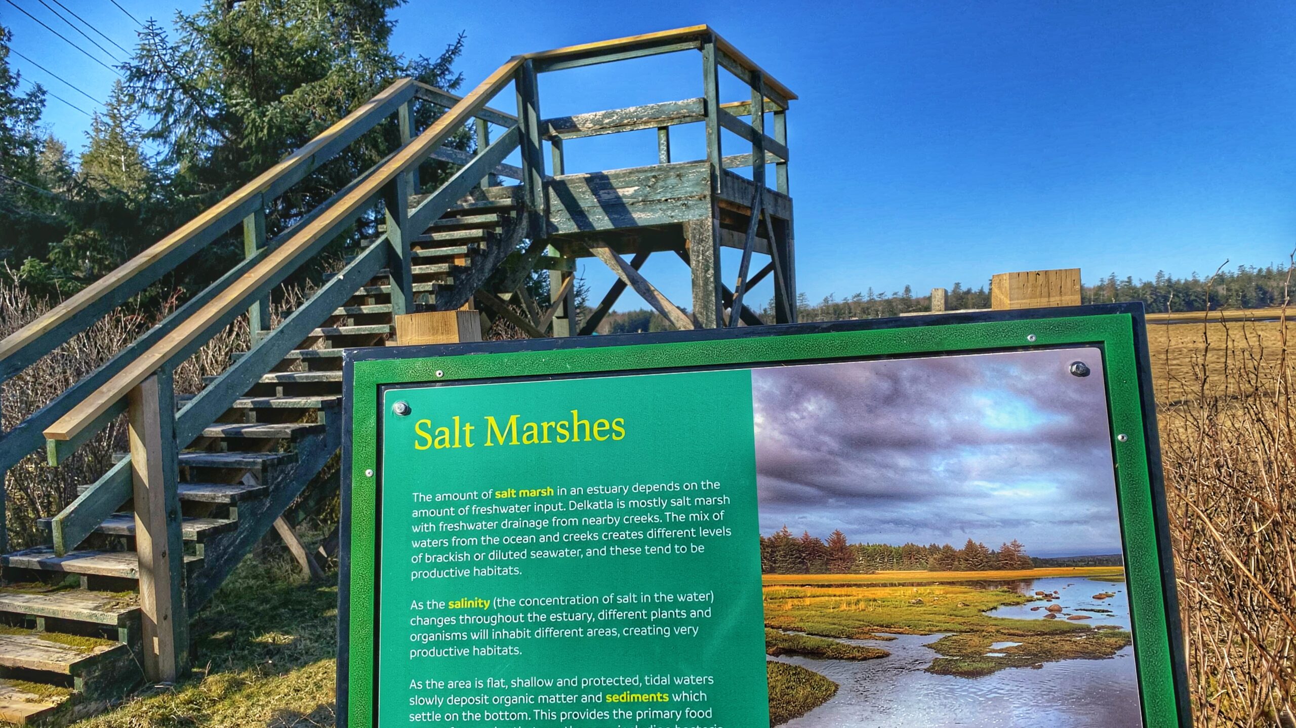
    Of note for birders, a viewing tower can be found in this area. Keep a keen and watchful eye for lovely sandhill cranes, blue herons, Canada Geese, ravens, and seagulls.

    Of historical note: This section of the route is also known as the โ€œStepping Stones Trailโ€ because, once upon a time, the road youโ€™re walking on was made up of stepping stones to help people cross the intertidal slough.

    After hiking approximately 1.4 kilometers, you will come upon Masset Cemetery Road. From here, you can hike south along the road and connect up with the Simpson Tower Trail, which will bring you near the end of Cemetery Road. Or, you can walk roughly 750 meters north towards Masset Cemetery and its Beach Access Trail.

    Assuming you chose to hike south along the Simpson Tower Trail โ€“ which also provides beautiful viewing opportunities of Delkatla Sanctuary โ€“ youโ€™ll eventually come upon the end of Cemetery Road. From here, walk west along Tow Hill Road back towards Masset. Along the way, youโ€™ll come upon another viewing tower. Read the information boards on site and then continue your walk back into Masset.

    Indeed, from a hiking perspective, Delkatla and its network of trails make for a good family walk; however, those wishing to explore more of Haida Gwaiiโ€™s wild side might be a little underwhelmed. Birders, on the other hand, should enjoy this experience at all times of the year. It truly is a birdwatcherโ€™s delight!


    DIFFICULTY: Easy
    TOTAL DISTANCE: 5 kilometers
    TIME: 1.5 hours
    TYPE: Loop
    ELEVATION GAIN: None