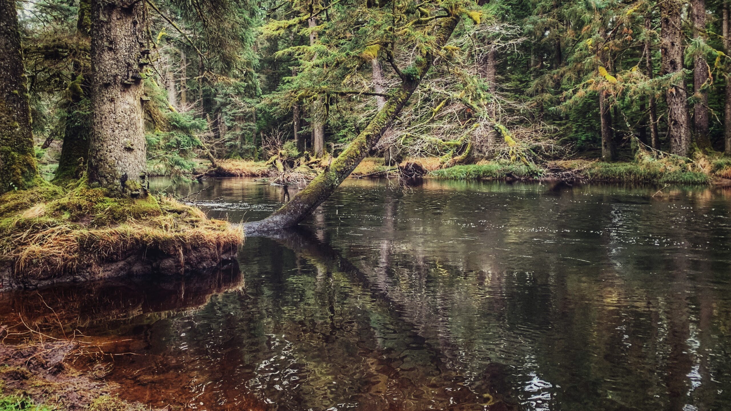
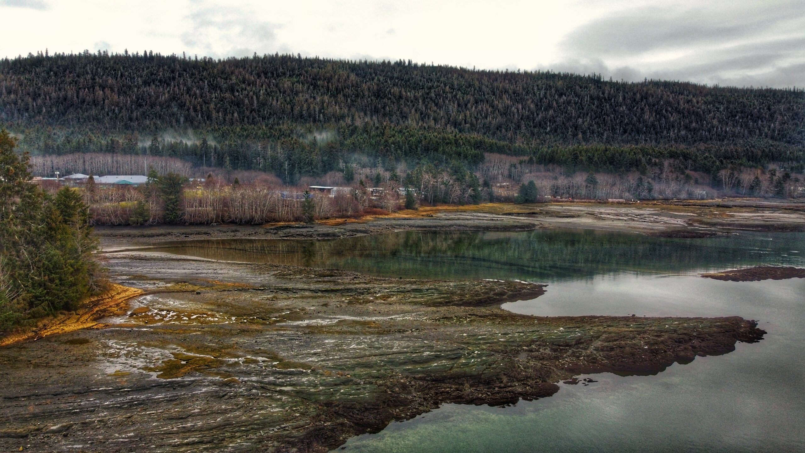
Wiggins Road Trail FeaturesPopular fishing accessAccess to Tlall Conservancy A note of caution: One should avoid hiking this trail after heavy rainfall. Sometimes the banks of the Tlell River will overflow, flooding sections of the trail and making them virtually impassable. ABOUT The Wiggins Road trail is an unmaintained 1.5km out-and-back route that follows the Tlell […]
Tag: hike haida gwaii
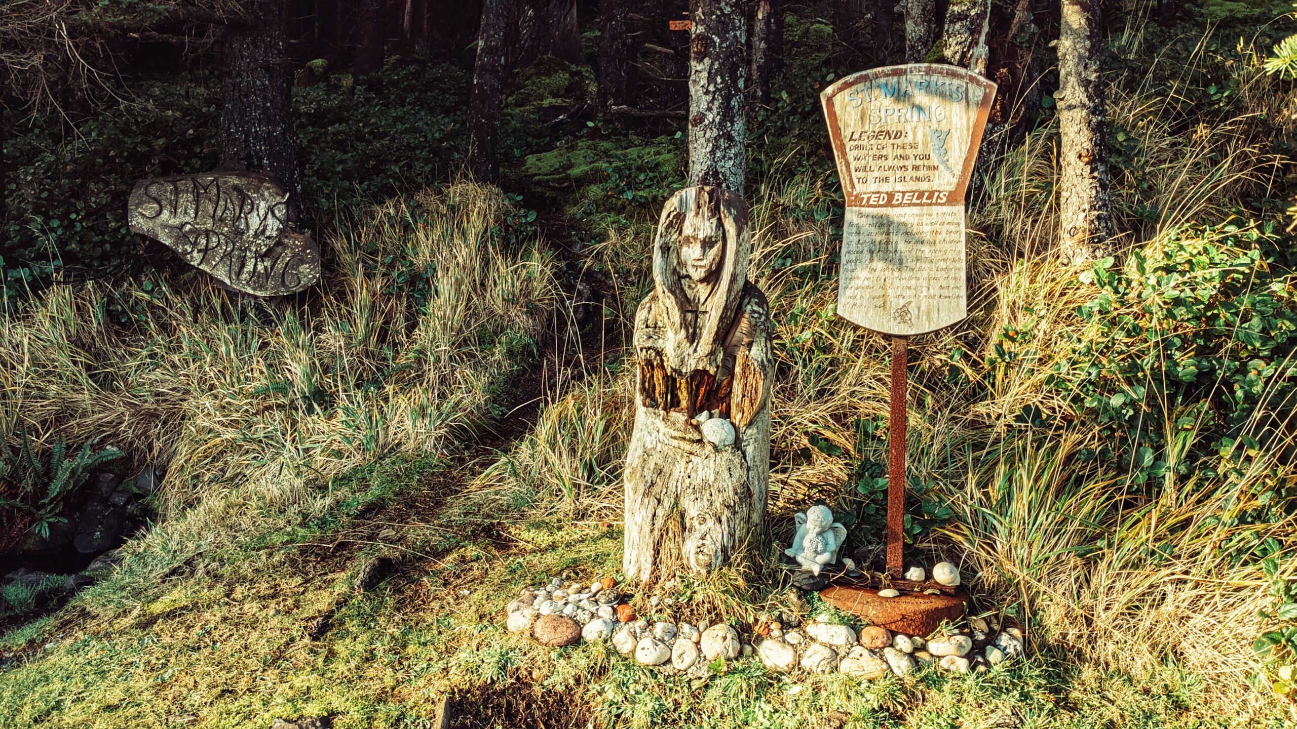
Unlike most places on Haida Gwaii, St. Mary’s Spring Trail is quite young in terms of its history. At the beginning of the 20th century, this area was known as “Duncan’s Well,” named after an early homesteader. It is said that travellers used to stop and re-hydrate their horses at the small well. Beginning in the early 1920s, however, Annie Richardson took it upon herself to name the spring after one she’d known in England – St. Mary’s.
It is nevertheless a nice, albeit very short, trail. The trail does not have formal trailhead signage, but it is easy enough to find. As you’re driving along Tow Hill Road, just keep an eye out for Hydro Pole 97. If you’re driving north from Masset, the pole will be on your LEFT. The unmarked trailhead will be obvious and almost immediately beside the hydro pole.
The “Naikoon Canoe Trail” is very short at just 140 meters one-way. It is also unmarked, but well worth the effort to find. Having seen and witnessed many blank or old Haida Canoes over the last few years, we were both keen and curious to locate this one after having seen it in some tourist photos.
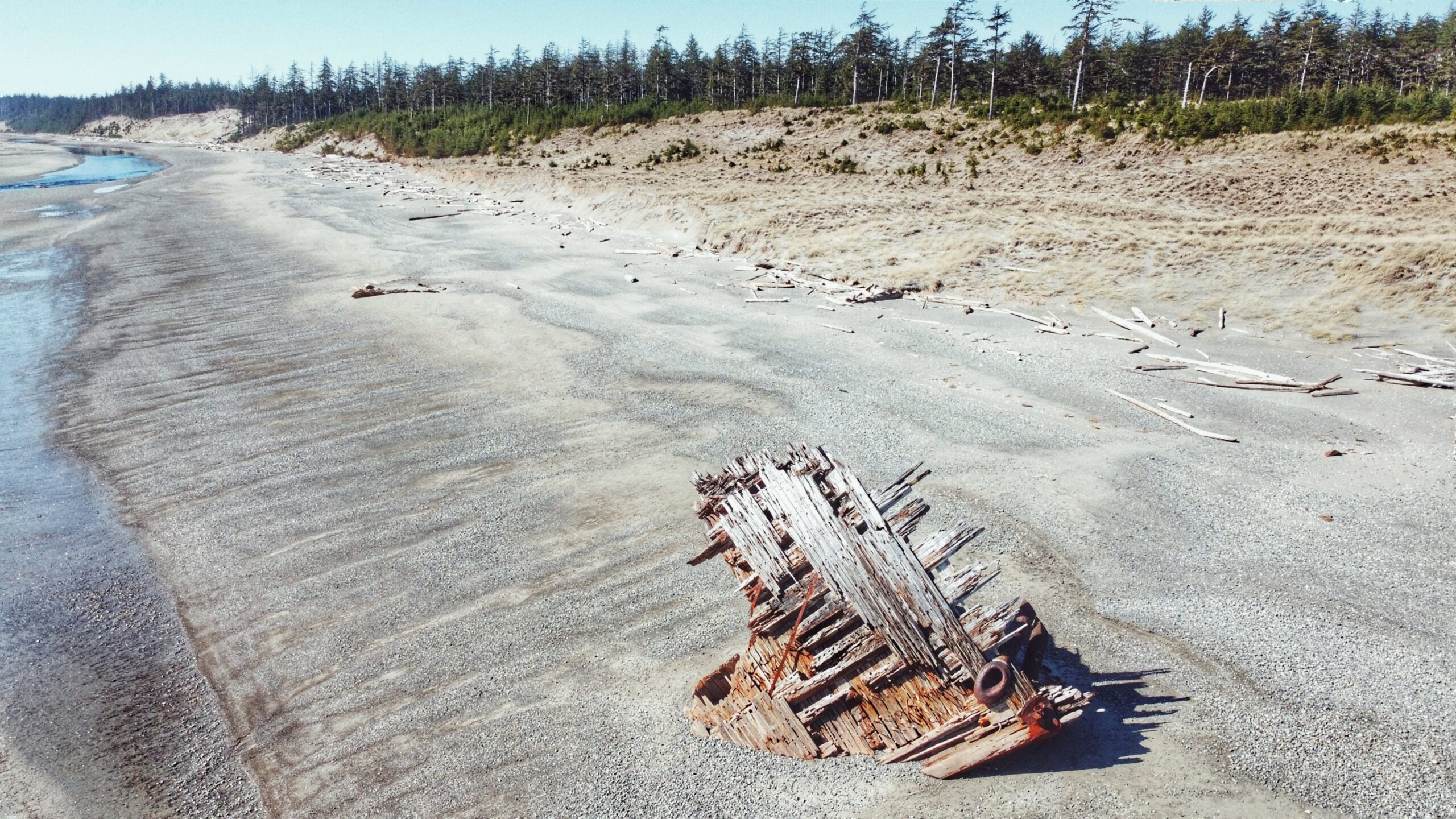
What is it about the Pesuta that draws so many? The story/context isn’t all that exciting. Basically, the Pezuta was built as a wood-hulled steam freighter during World War I and, after the war, she was sent to Seattle for “liquidation.”
Kwuna Point Trail is located on Moresby Island at Alliford Bay. To find it, assuming you’re driving off the Kwuna ferry, turn LEFT onto Kwuna Point Road and drive to the end of the road. You will see a small parking lot and dock – park here. Like most trails on Haida Gwaii, Kwuna Point does not have formal trailhead signage; however, it is clearly signified by the Stranraer 935 Memorial.
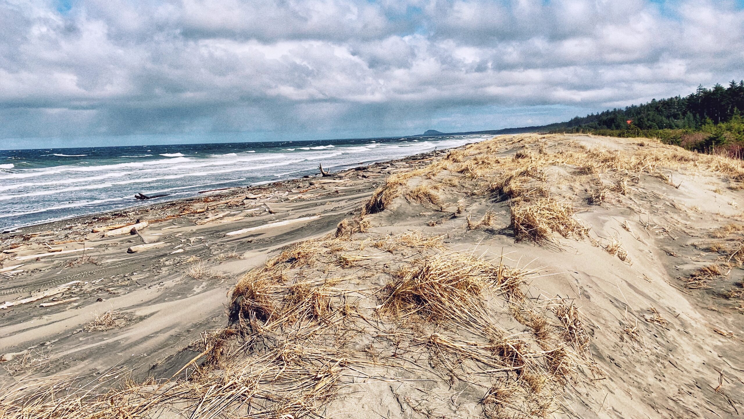
Located approximately 20 kilometers north of Skidegate, Jungle Beach is a popular swimming destination for locals and tourists alike. Its ease of access – just off the highway – concomitant with the roughly 2 kilometers of sandy beach makes for an appealing day out.
Tarundl Creek is part of the bigger Kagan Bay Recreation Site. Located west of Daajing Giids (less than 10 minutes by car), and along the Honna Service road, the Kagan Bay Recreation Site offers a host of activities for all members of the family to enjoy. The site has everything whether you want to go fishing, kayaking, hiking, or camping.
Located west of Daajing Giids, and approximately 3 kilometres along the Honna Forest Service road, is the Kagan Bay Beach Trail. The Kagan Bay Beach recreational site offers six user-maintained campsites, all of which face the beach.
The Haydn Turner Beach Trail is located at the end of Oceanview Drive, towards the western end of Daajing Giids. Once at the terminus of Oceanview Drive, you’ll spy Haydn Turner campground signage at the head of a narrow road.

