BOULTON LAKE TRAIL FEATURES:
Bog environment
Water activities
ABOUT
Boulton Lake Trail is located approximately 28 kilometres south of Masset and 14.6 kilometres north of Port Clements, along Highway 16. The trailhead is unmarked but is signified by a small dirt pullout directly across from hydro pole 330. The pullout has enough room for two small vehicles.
After you’ve parked your vehicle, you should be able to see the trailhead through some dense salal bushes. Once you’ve pushed through these, the trail opens up very briefly before becoming overgrown with tall, thick salal bushes again. You’ll be pushing blindly through these for a few moments before entering much shorter stands of salal and a few skinny bog cedars.
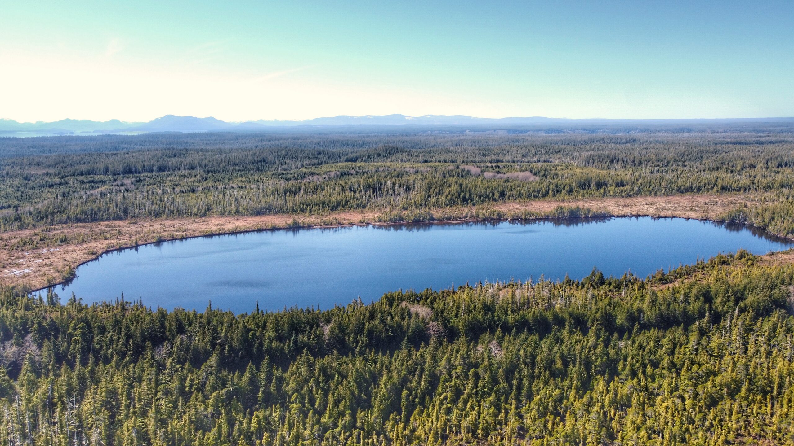
While you’ll no longer be blinded by tall salal, the trail remains overgrown, but the path is easy enough to follow. After about two minutes or so, you’ll come upon a very muddy/boggy section that’s often flooded. If you’re not wearing boots, try your best to step on the roots or deadfall to minimize getting wet feet. After you clear this obstacle, you’ll emerge onto the unique bog environment with its thick mosses and stunted trees. The impressive, but shallow, Boulton Lake is just steps away.
Because it only takes five minutes to walk this trail (one-way), it isn’t really used for recreational hiking; rather, the lake is multi-use: People have used Boulton Lake for kayaking and simply relaxing on the water. It’s also occasionally used for research. The Unarmoured Threespine Stickleback is endemic to this lake and has been subject to studies by the Federal Government.
If you’re here exploring the delicate bog environment or admiring the calm waters of Boulton, it can be tricky relocating the trail and finding your way back to the highway. A lot of the stunted trees look the same. Our pro tip? To head back towards the trailhead, line yourself up with the aluminum skiff resting at the edge of Boulton Lake. Walk towards the treeline from here – the boat is perfectly aligned with the unmarked trail.
DIFFICULTY: Easy
TOTAL DISTANCE: 300 meters (return)
TIME: 10 minutes
TYPE: Out-and-Back
ELEVATION GAIN: None


