


CRAB TRAP TRAIL FEATURES:
Historic logging practices
Mountain biking
ABOUT
The Crab Trap Trail is a relatively new route in the Village of Daajing Giids. Created by Instagram user “theloamripper” over a period of 1.5 years, the trail officially opened in June 2020 with the posting of the official trailhead marker. We’d observed the signage when we first hiked the Gore Brook Trail near the end of 2020 but didn’t get around to hiking this route until now – nearly 3 years later. Curiosity – and the need for “new” trails – got the better of us!
GETTING TO THE TRAILHEAD
Locating the signed trailhead for Crab Trap Trail can be a little tricky because, much like the Scout Lake Trail, the trailhead marker for Crab Trap is actually located along another route. If you’d like to hike the Crab Trap, follow these steps:
1) Drive to the end of 2nd Avenue and park in the cul-de-sac.
2) You will see the trailhead marker for the Crabapple Creek route. To your RIGHT you will observe an unmarked trail (an early exit for Gore Brook Trail). Hike up this path for 200 meters.
3) After hiking for a couple of minutes, you will see the black Crab Trap trailhead marker to your LEFT. You are now at Crab Trap Trail!
THE ROUTE
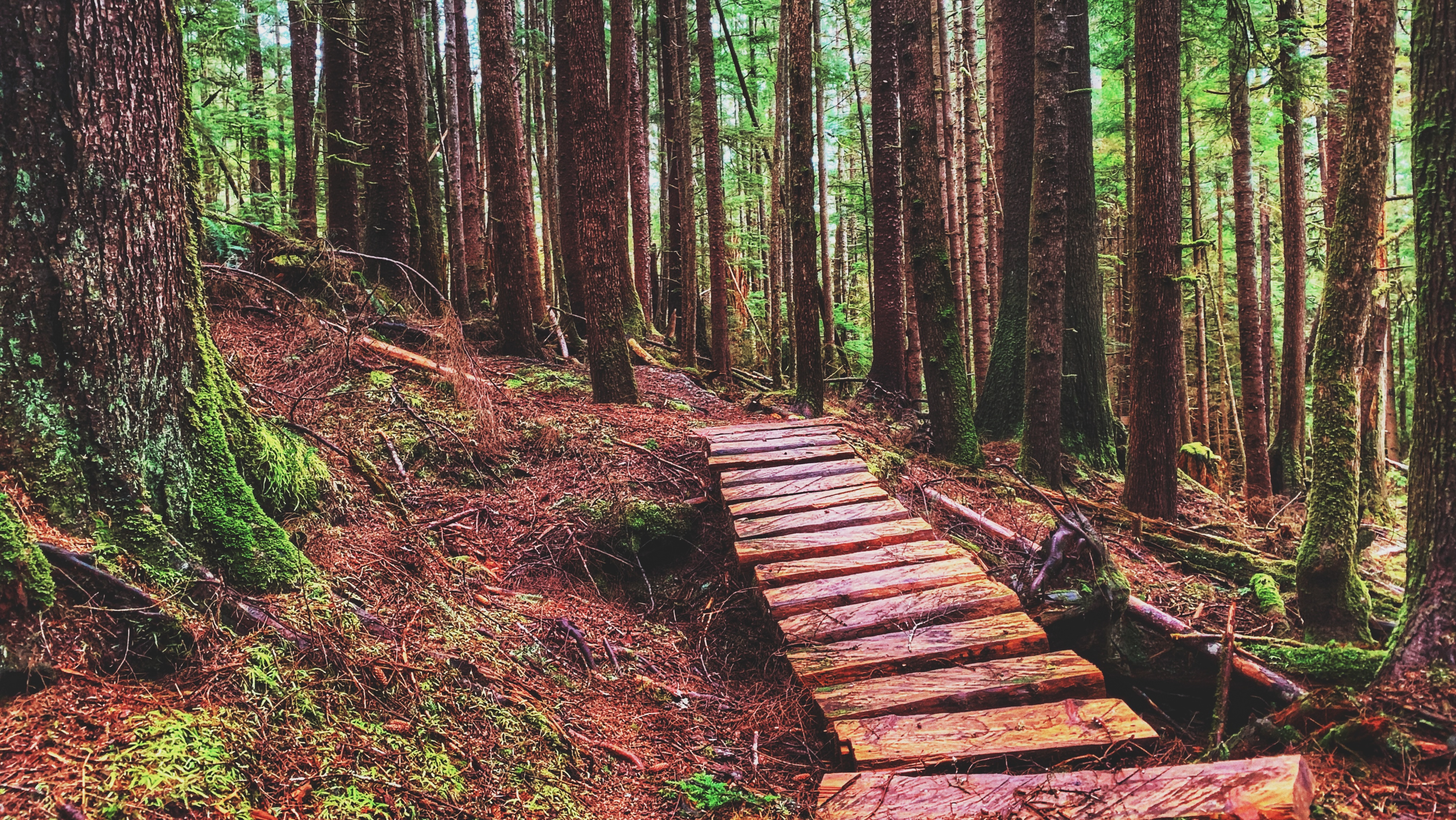
Notwithstanding the trailhead sign, Crab Trap Trail is unmarked but the path is plainly obvious. Right out of the gate, the trail splits; however, don’t let this alarm you. It does not matter which path you take on the “Y” – they merge into one trail literally one minute into your hike.
The path on the right is just a “shortcut” of sorts. A couple of minutes into your hike you’ll come across a bridge, which provides the first significant hint as to this trail’s primary purpose: Crab Trap Trail is promoted as a mountain biking route – something highlighted on both “theloamripper’s” Instagram page and the TrailForks website.
Indeed, evidence of this abounds: There are a couple of small jumps, including a “gap” jump; steep descents meant for bikers to get a bit of air time; and, there’s even a berm near the end of the route! Beyond the mountain biking structures in place, the obvious tire tracks in the mud also give it away!
While Crab Trap was designed to function as a mountain biking trail, it is also a wonderful hiking trail. Clocking in at a brisk 1.2 kilometres one-way, the route takes you through a beautiful forest of spruce, hemlock and lush ferns.
At about the mid-way point, the trail drops steeply for a moment. This was likely done to benefit those on mountain bikes, but it can be a little tricky navigating on foot due to mud. Once down the steep embankment, however, you will see orange arrows and another trail – that’s because Crab Trap actually intersects the old Crabapple Trail route at this point. You can follow it if you like, but if you wish to finish the Crab Trap, continue your gradual descent down the unmarked but obvious trail.
Hike another 10 minutes and you’ll eventually link up to the main Crabapple Trail, as signified by the giant tire. At this juncture, the “Crab Trap Trail” – as marked on TrailForks – essentially turns into the Crabapple Trail. Follow the marked route to your RIGHT, pass by the Dempsey Collinson Memorial Trail and end your adventure at the old M&B site.
From here, you can do one of 3 things: 1) Turn around and go back the way you came; 2) Follow the primary Crabapple Creek Trail route (denoted by white markers) back to Second Avenue; or, 3) Walk back along the road.
DIFFICULTY: Easy
TOTAL DISTANCE: 2.4 kilometers (return)
TIME: 75 minutes
TYPE: Out-and-Back
ELEVATION GAIN: 15 meters (approx.)