


Charlie Hartie Features:
Monumental Cedars
CMT (Culturally Modified Tree)
Scout Lake access point
Note: This trail is also known as “Charlie Valley” and “Charlie Hardie South Lake Trail” (the latter referencing Scout Lake).
ABOUT
Charlie Hartie Trail, named after a nearby creek which itself was named after early residents of what
was then Queen Charlotte City, located at the top of 6TH street, just off 1ST Avenue (turn right).
According to a small information card available at the Daajing Giids Visitor Centre, this rough out-and-
the back trail takes approximately 2 hours to complete (return). It is important to note the red text used on the trailhead marker. The village uses this colour to denote moderate to hard trails while yellow is used to signify easy routes.
From the trailhead, the Charlie Hartie Trail starts off as a narrow path and gently slopes upward. About 15 minutes in, the trail widens and, as a result, gets a little easier to navigate. Please note that, at this point, the obvious path disappears as you continue your ascent; however, the trail is clearly marked with flagging tape and, curiously, clam shells, which have been placed in groups of three.
In this respect Charlie Hartie shares an affinity with the nearby Gore Brook Trail, which has been marked with scallop shells: Both demonstrate – through these markers – the complex interplay of forest and ocean on Haida Gwaii.
After about 30 or so minutes, the clam shells mostly disappear and blue flagging tape becomes the
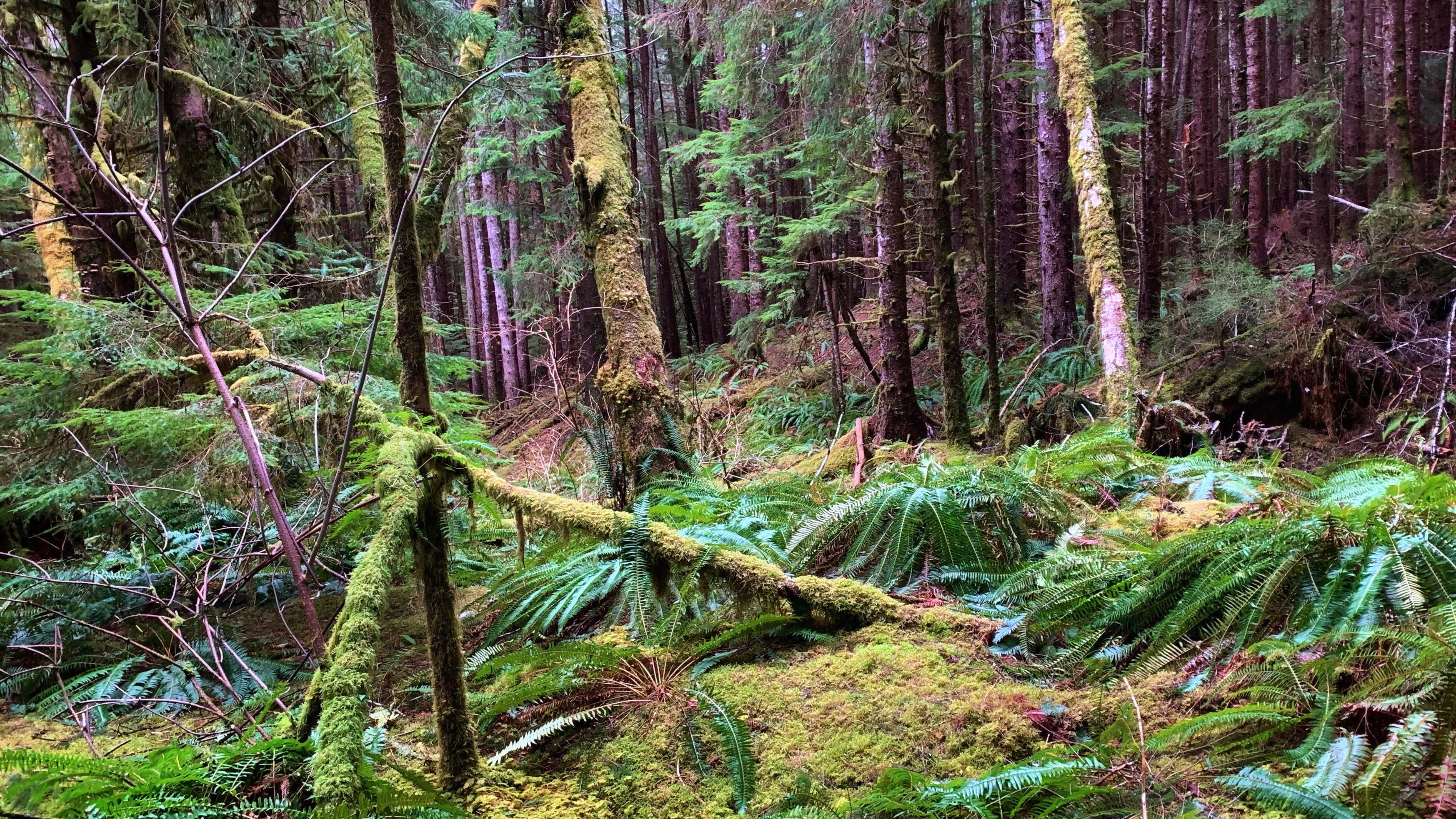
primary trail marker. The trail begins climbing steeply by this point and the forest remains fairly dense
throughout; however, there are a few highlights along the way: A couple of massive trees that have long
since fallen over (makes for a great selfie!), an interesting “handrail system” designed to assist you up
one of the steeper sections (originally developed as a mountain biking obstacle), impressive cedars, and a culturally modified tree (CMT).
Following a challenging climb, you will eventually come across a fork in the trail and some signage. Curiously, this point marks the end of the “official” trail; or, at least, the hikeable portion of the Charlie Hartie Trail.
The LEFT pointing arrow – “Charlie Hardie” – will bring you to the trail’s namesake creek; however, it’s obvious this route hasn’t been used in a very long time. Significant amounts of blowdown, overgrowth, and lack of markers make navigating toward the creek an unrealistic option. In fact, the Village of Daajing Giids knowledge-holders familiar with this trail strongly advises hiking toward the creek for those reasons.
The RIGHT pointing arrow – “Scout Lake” – will eventually bring you to, well, Scout Lake! For more on
this connector route, see our entry at this link.
We should note, by way of conclusion, that this trail seems awkwardly named. Outside of the trail’s
starting point, you don’t actually follow the route’s namesake creek; rather, you follow “Templeton
Creek” for much of the trail’s length. Based on old maps we’ve seen, this trail may once have been a
loop, which took you along Charlie Hartie Creek but, again, overgrowth and lack of maintenance have all but eliminated a portion of this route.
DIFFICULTY: Moderate
TOTAL DISTANCE: 2km (return)
TIME: 2 hours
TYPE: Out-and-Back
ELEVATION GAIN: 140 meters