Category: Beach Trail

  • Gray Bay: A True Wilderness Beach

    Gray Bay: A True Wilderness Beach

    Gray Bay Features
    Fine gray sands
    RV camping grounds
    Mountain views


    ABOUT

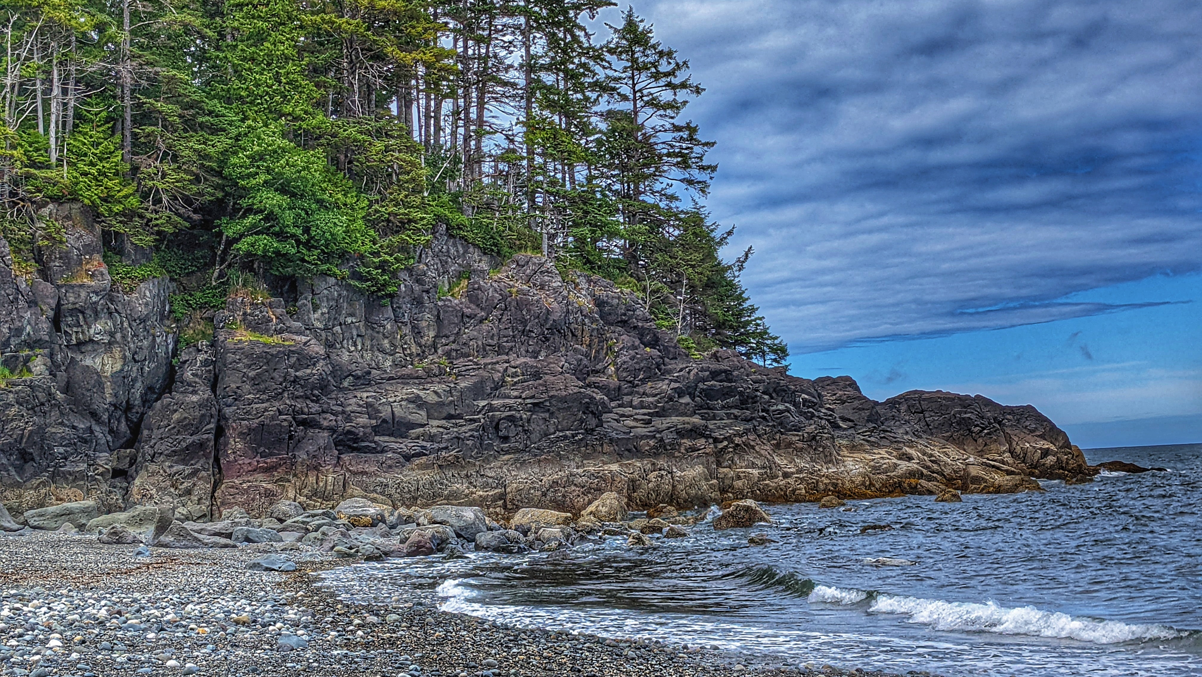
    The Gray Bay Recreation Site is located within the Kunxalas Conservancy and is a true wilderness beach area. To access Gray Bay, you must travel approximately 25 kilometres from Sandspit: First, along Copper Bay Road; second, along the Copper Bay Mainline; third, along Spur 20; and, finally, Gray Bay Road.

    Please note that once you depart the paved Copper Bay Road you will be driving along active logging roads, so proper precautions should be taken. Nevertheless, the drive out to Gray Bay is well worth the effort.

    As you drive along the Copper Bay Mainline, youโ€™ll eventually come upon the seasonal Copper Bay village, which is used by the Haida between April and May during the annual sockeye salmon run.

    The area features a mix of old and modern cabins, which are inhabited during the all-too-short fishing season. If you happen to visit during this time, the Copper River becomes a proverbial beehive of activity as the Haida gather their traditional food to roast on an open fire, smoke (fish) and prepare gilgii (dried fish).

    In many respects, this short period of time highlights, only too clearly, important cultural traditions and demonstrates how theyโ€™ve continued to thrive over thousands of years.

    After you leave Copper Bay, the logging road gets significantly rougher โ€“ lots of deep potholes โ€“ and so progress could be slow depending upon the vehicle type. Keep an eye out for posted signage indicating the direction towards Kunxalas and the Gray Bay Recreation Site.

    Once you reach the recreation area, youโ€™ll observe there are 20 campsites (available on a first come-first serve basis). All are fairly spacious and offer easy access to Gray Bay beach. Picnic tables, fire pits and outhouses are also available; however, there is no potable water on-site and there is no internet service.

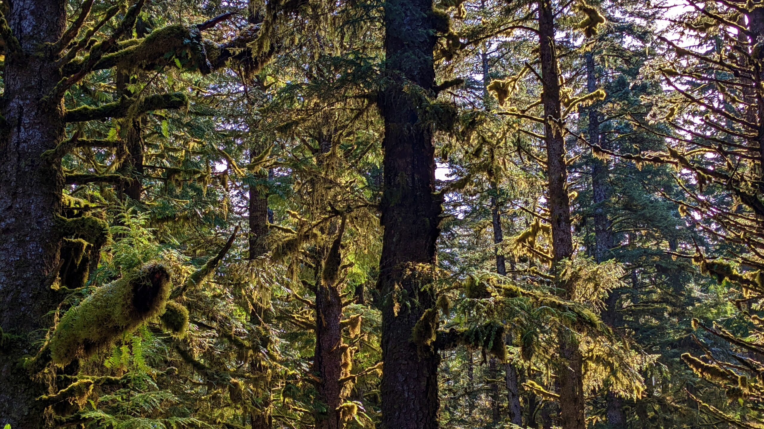
    In this respect, Gray Bay, because of its remoteness and limited amenities, allows you a golden opportunity to connect with nature and experience Haida Gwaii at its best. Instead of watching YouTube or texting with friends, get in tune with nature, and enjoy the supernatural forest and its interconnectivity with the nearby Pacific Ocean.

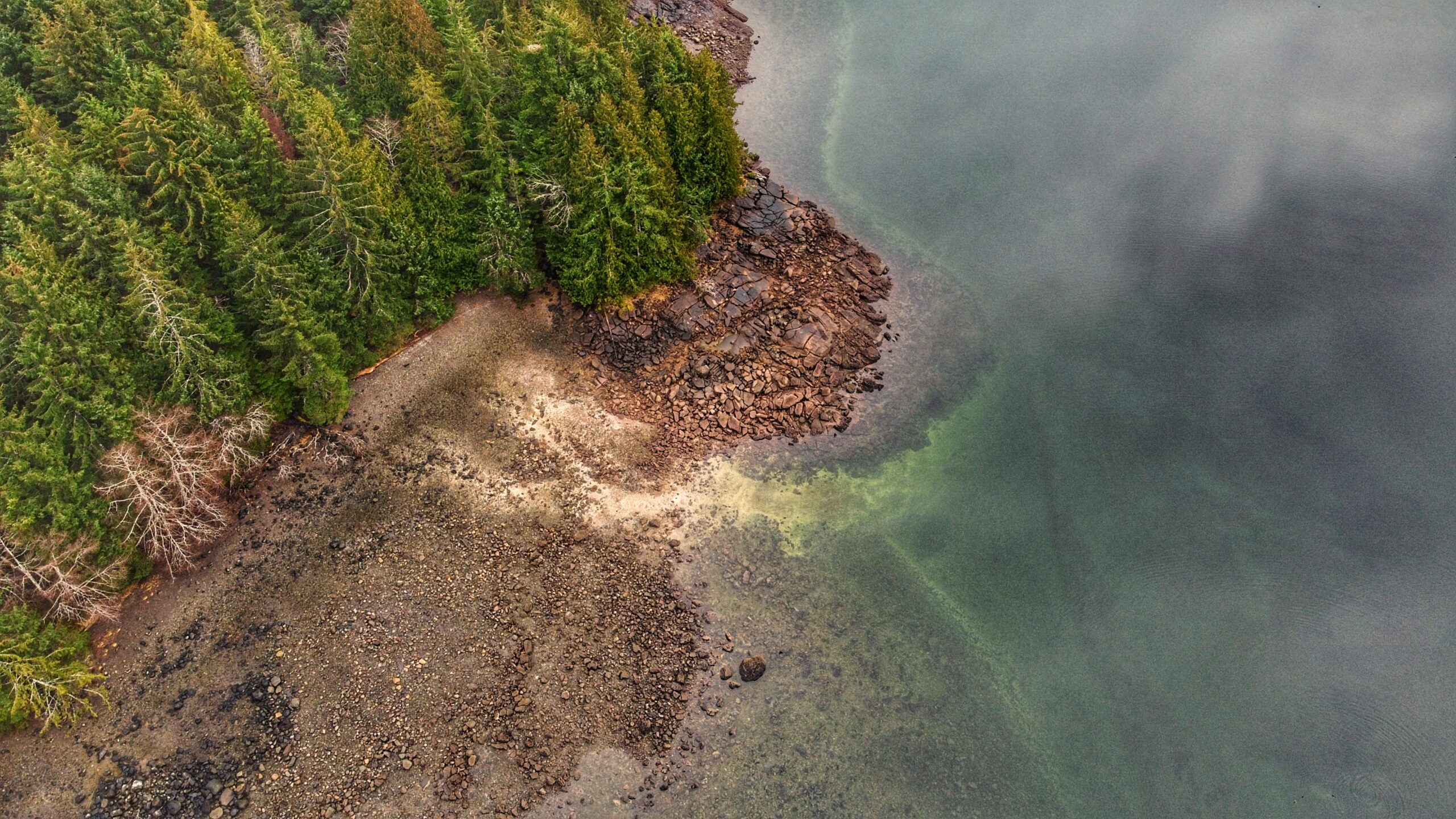
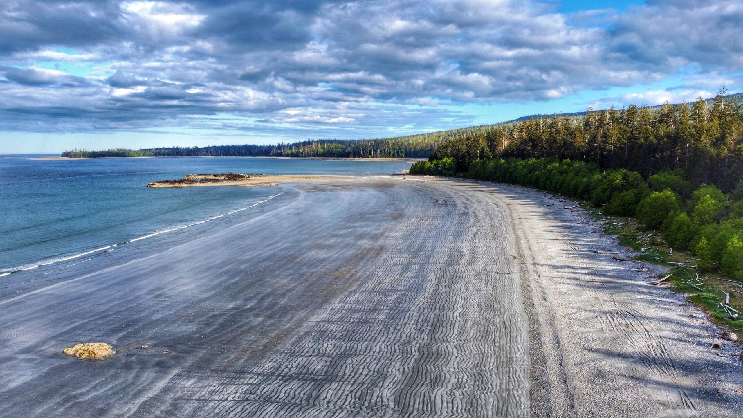
    Besides camping, the major attraction at the Gray Bay Recreation area is, obviously, Gray Bay Beach. This crescent-shaped 3km stretch of pebbly beach and compact sand is an absolute delight and is, in our opinion, one of the best beaches on Haida Gwaii.

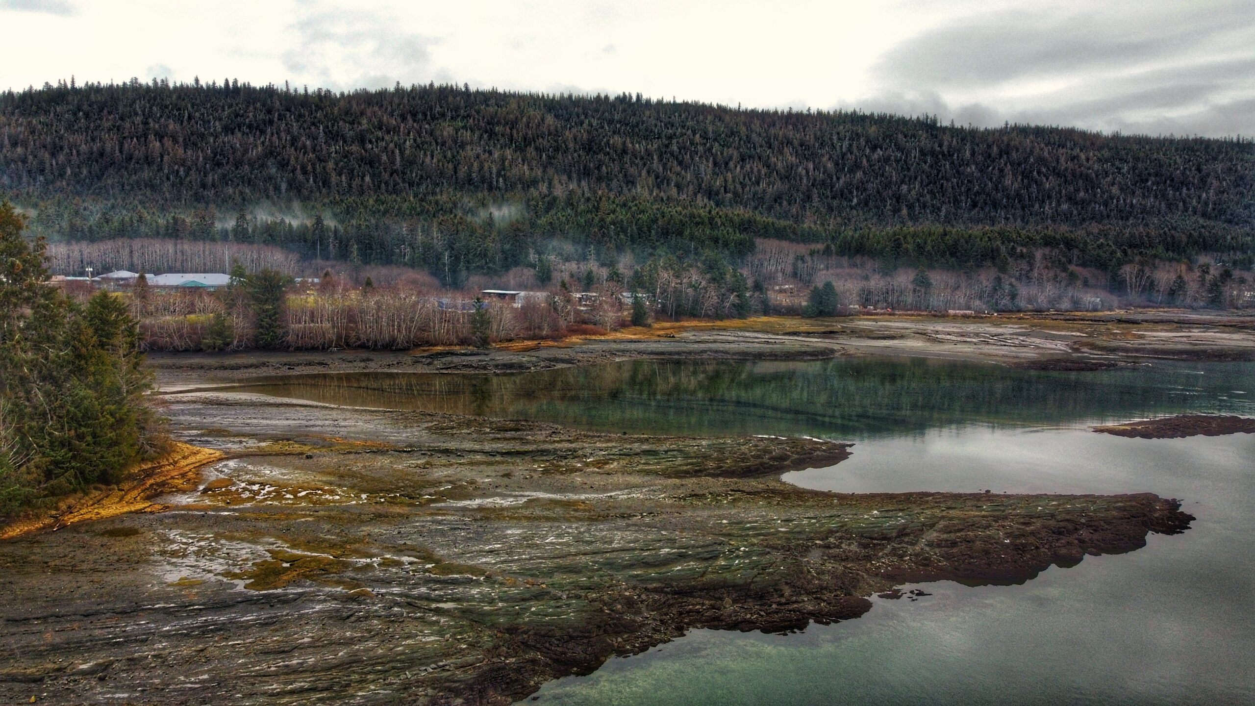
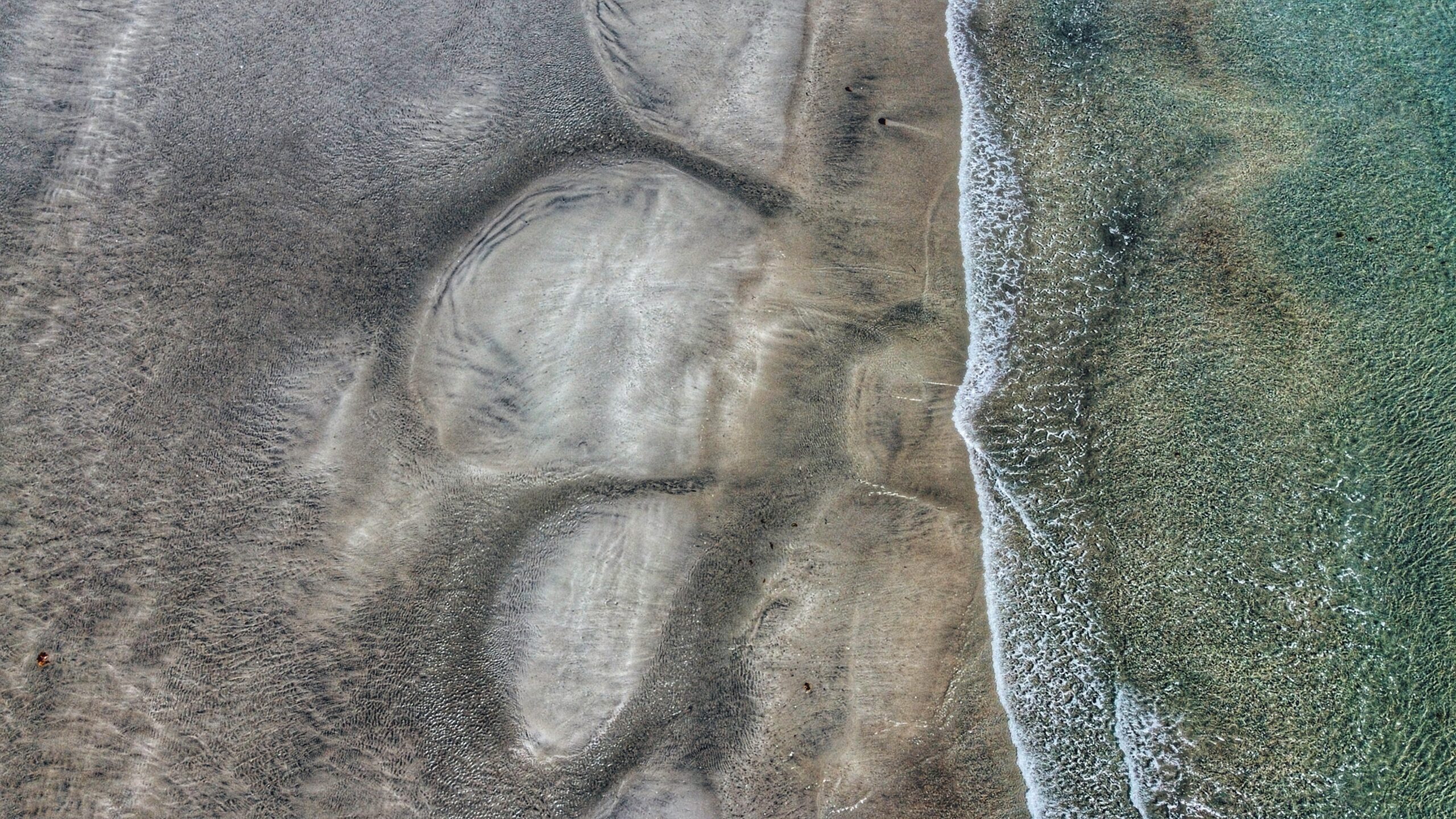
    At low tide, one could seemingly walk for miles along the unique โ€œwavyโ€ gray sand, admire the delicate sea life in nearby tidal pools, beach comb, ride an ATV, kayak or enjoy a nice dip in the ocean. If hiking is more your thing, the 12km (one-way) Cumshewa Head Trail can be found at the south end of Gray Bay. Please note, though, that a lack of maintenance has resulted in this trail becoming very overgrown in recent years.

    If nothing else, do observe how Gray Bay is a microcosm of the ancient Haida philosophy that everything is connected to everything else: The ocean, taan (black bear) and forest all depend on one another. And we depend on them. If you have the time, the Secret Cove Trail is just nearby this recreation site.


    DIFFICULTY: Easy
    TOTAL DISTANCE: 3km (one-way)
    TIME: Approximately 40 minutes
    TYPE: Beach walk
    ELEVATION GAIN: None
  • Welcome to the Jungle Beach!

    Welcome to the Jungle Beach!

    Jungle Beach Features
    Beach access
    Picnic & Swimming
    Family-friendly


    ABOUT

    Located approximately 20 kilometers north of Skidegate, Jungle Beach is a popular swimming destination for locals and tourists alike. Its ease of access โ€“ just off the highway โ€“ concomitant with the roughly 2 kilometers of sandy beach makes for an appealing day out.

    The beach is clearly marked with posted signage, so itโ€™s difficult to miss. Secondary beach parking is indicated by a carved black bear, which has definitely seen better days. In the last ten years, its arms have rotted away and, well, we wouldnโ€™t be surprised if itโ€™s fallen over in the next five. In any event, an outhouse is also available here. Jungle Beach is accessible via a short path.

    Primary parking at Jungle Beach is located at the next pullout, just a few feet north of the black bear. Here, youโ€™ll spy a covered shelter โ€“ perfect for picnicking โ€“ and a โ€œfortโ€ right near the entrance to the beach.

    The fort, which has been in place for just over 20 years, is made primarily of driftwood and beach rock and features a unique spiral staircase. Once at its zenith, enjoy great views of the beach and horizon beyond! Many an imaginative child has likened this fort to a ship at sail in the sea!

    At low tide, you could seemingly walk for miles along Jungle Beach before hitting the ocean for a cool swim. The beach, with its silky smooth sand, is perfect for a little outdoor therapy: Stroll with a loved one, explore the tidal pools, or take out the croquet balls and enjoy a game with the family! As the day winds down, relax on the beach and listen to the waves lapping at the shore.

    But, you may be wondering, why โ€œJungle Beachโ€? Apparently, an early owner of the Premier Hotel bestowed the โ€œJungle Beachโ€ name upon this place. Howโ€™d that come about?

    The generally accepted story is that each winter, Haida Gwaiiโ€™s vicious storms cast such a mass of logs upon the beachโ€™s entrance that it reminded folks of a โ€œjungle.โ€ A more recent theory โ€“ and one that sounds far more appealing โ€“ is that the dark waters of Jungle Creek and the forest immediately behind Jungle Beach serve as inspiration for the name.

    Indeed, if you take a walk in the forest directly across the road from the carved black bear (start of the Drain Lake Trail), youโ€™ll see what we mean!


    DIFFICULTY: Easy
    TOTAL DISTANCE: The beach is approximately 2km in length
    TIME: 40 minutes
    TYPE: Beach walk
    ELEVATION GAIN: None

  • A Rich Beach – Kagan Bay Beach Trail

    A Rich Beach – Kagan Bay Beach Trail

    Kagan Bay Beach Trail
    Oysters on the shore
    Camping grounds with fire pits
    Water activities


    ABOUT

    Located west of Daajing Giids, and approximately 3 kilometres along the Honna Forest Service road, is the Kagan Bay Beach Trail. The Kagan Bay Beach recreational site offers six user-maintained campsites, all of which face the beach.

    Each site features a picnic table and fire ring (perfect for roasting hotdogs or marshmallows!), and there is a single โ€“ very basic โ€“ outhouse meant to service all 6 sites.

    At low tide, itโ€™s not uncommon to see Great Blue Herons on the pebbly beach, or locals harvesting luscious bivalves like oysters and clams. The area is ideal for kayakers and those looking to get out into nature, but not too far into the wild. Right across the beach on any of the campsites, there was a supposed oyster farm that used to operate in the area. It has now since been discontinued, but the chances of anyone finding oysters are not uncommon.

    Of interest to hikers and beachcombers, the Haida Gwaii Trails Strategy identifies this area as the informal โ€œKagan Bay Beach Trail.โ€ This rough, unmaintained route basically follows the shoreline and acts primarily as a link to the six campsites.

    In that regard, we wouldnโ€™t really call it a recreational trail โ€“ itโ€™s more functional โ€“ but one could walk beyond the campsites and explore more of the rugged coastal terrain if they so wished. In fact, on a low tide, if youโ€™re feeling really adventurous, it is possible to hike around the point (the official โ€œendโ€ of the Kagan Beach Trail) for another 770 meters and link up to Tarundl.

    We should note that the Kagan Bay Recreation Area basically ends at the Kagan Log Sort. When you arrive at this part of the road, you will see a sign indicating the route for โ€œPublic Beach Access.โ€ It is not advisable to drive beyond the Sort without a 4×4 vehicle.


    DIFFICULTY: Easy
    TOTAL DISTANCE : 2.7 kilometres (return)
    TIME: 1 hour
    TYPE: Out and back
    ELEVATION GAIN: None

  • Scenic Stroll – Haydn Turner Beach Trail

    Scenic Stroll – Haydn Turner Beach Trail

    HAYDN TURNER BEACH TRAIL
    Views of Daajing Giids
    Municipal Cemetery
    Beach combing


    Note: If camping in the area, please respect your surroundings and place garbage in the appropriate receptacle and extinguish all campfires!


    ABOUT

    The Haydn Turner Beach Trail is located at the end of Oceanview Drive, towards the western end of Daajing Giids. Once at the terminus of Oceanview Drive, youโ€™ll spy Haydn Turner campground signage at the head of a narrow road.

    Following this road will bring you into the campground and, at its end, the village cemetery. The beach trail is accessible at a few points here โ€“ all of which are clearly denoted with โ€œBEACH TRAILโ€ markers.

    While the trail is designed to be a major feature of Haydn Turner Campground and its guests, this easy stroll along the pebbly beach is typically enjoyed by locals as well. Itโ€™s not unusual to see people walking their dogs here.

    A mix of course sand and black shale rock, the Haydn Turner Beach Trail packs a varied terrain in its short 1 kilometer. On the one hand, youโ€™re treated to beautiful views of nearby Sleeping Beauty Mountain; on the other hand, Bearskin Bay and Skidegate Inlet beckon and call.

    When the tide is low, the sandy beach is visible; however, we would not advise walking down here because the sand is very โ€œsinkyโ€ and could get you in some trouble rather quickly. Instead, if you must venture beyond the rocky shore, do so on a kayak as this place represents a popular jumping-off point for those keen to get onto the water.

    Haydn Turner, as a campground, features 8 sheltered RV sites and 2 walk-in tent sites, the latter of which hug the pebbly shores. Picnic tables, fire pits, and a couple of pit toilets are also available. We should note that the campsite basically sits at the doorstep of Daajing Giids cemetery while the beach trail loops around it (with a couple of small โ€œspider trailsโ€ hugging the woods).

    Some may find this unsettling while still others might find a sense of peace and calm โ€“ especially if you happen to be walking the beach during a misty afternoon.


    DIFFICULTY: Easy
    TOTAL DISTANCE: 1 Kilometer
    TIME: 20 Minutes
    TYPE: Loop
    ELEVATION GAIN: None

  • Andrews Place Road Trail: Easy Access to Naikoon Provincial Park

    • Andrews Place Road Trail
    • Andrews Place Road Trail
    • Andrews Place Road Trail
    • Andrews Place Road Trail
    • Andrews Place Road Trail

    ANDREWS PLACE ROAD TRAIL FEATURES:
    Beach Access
    Access to Naikoon Provincial Park


    ABOUT

    The Andrews Place Road Trail is a short out-and-back route located at the end of, well, Andrews Place Road in Tlell. The trailhead is not formally marked; however, it can be seen adjacent to a hydro pole at the end of the cul-de-sac, next to Sandy House. At just 250 meters in length, it only takes 5 minutes to complete this trail and emerge, first, onto the flat sand dunes and then the pebbly beach below.

    Because of its short length, I suspect this trail was created more for functional reasons โ€“ beach access – than recreational hiking. As such, proper hiking gear is not required. The path is user-maintained and the terrain is mostly flat; however, there are some roots to watch out for as well as some potentially slippery steps to climb en route to the beach.

    For the first three minutes of the hike, you walk through fairly dense salal bushes and young Sitka Spruce. Beautiful green moss carpets areas of the forest floor. Just before reaching a set of stairs, youโ€™ll spy a heavily worn and faded sign pointing โ€œto the beach.โ€ After climbing the stairs, youโ€™ll come upon a beautiful memorial bench that sits at the junction of forest and sand dunes. From here, itโ€™s a short two-
    minute walk towards the beach.

    In late Spring and early Summer, the sand dunes in this area โ€“ and throughout Naikoon Provincial Park are rife with life. As you walk, be sure to keep an eye out for delicious wild strawberries! At times, the sweet aroma is enough to envelop the mind!

    At high tide the beach in this area is pebbly and rough; however, low tide exposes the smooth, packed sand. Most who visit this area either do so for a refreshing dip in the Pacific Ocean or to walk along the shoreline โ€“ technically part of the larger Misty Meadows Loop Trail โ€“ toward the mouth of the Tlell River. On a clear day, the expanse of beach and sand dunes can, and do, appear most welcoming.


    DIFFICULTY: Easy
    TOTAL DISTANCE: 500 meters (return)
    TIME: 10 minutes
    TYPE: Out-and-Back
    ELEVATION GAIN: None


  • Masset Cemetery Road Beach Access Trail

    Masset Cemetery Road Beach Access Trail

    • Masset Cemetery Road Beach Access Trail
    • Masset Cemetery Road Beach Access Trail
    • Masset Cemetery Road Beach Access Trail

    MASSET CEMETERY ROAD BEACH ACCESS TRAIL:
    Access to North Beach
    Masset Cemetery


    ABOUT

    The aptly named Masset Cemetery Road Beach Access Trail is exactly as it says: It is located adjacent to Masset Cemetery and provides straightforward access to South Beach. In this regard, it isnโ€™t much of a hiking trail but serves a functional purpose. The trail is wide and flat, taking you through compacted sand and a few scattered spruce trees before hitting the beach. In brief, thereโ€™s nothing much of note along this short trail. Itโ€™s all in the destination. . .

    In our experience, most people donโ€™t access this trail on foot. Instead, because it is so wide (and resembles a road more than a trail), ATVs and trucks are far more common. The few times weโ€™ve hiked this route, ATVs and other vehicles have always been present โ€“ riding up and down the pebbly beach at quite the pace. But the vehicle use isnโ€™t just for recreational fun: At certain times of the year, the Haida will access the beach in this area to harvest traditional foods.

    As noted, it is highly unlikely one would visit this trail for recreational hiking purposes. Instead, we recommend doing the practical thing: Use it to access the beach โ€“ which itself is part of the larger Tlโ€™ellan to Old Massett Trail โ€“ and go for a nice stroll alongside the powerful Pacific Ocean. As you amble about, keep an eye out for sea life, agates, and beach glass. Thereโ€™s no telling what you might find!

    Finally, since youโ€™re in the area, we would also recommend visiting the Masset Cemetery: This is a truly unique space, unlike any cemetery weโ€™ve visited. Haida Watchmen figures keep a close eye on some resting sites while mounds of agates and scallop shells can be found at others. In a large city, some of these โ€œpreciousโ€ items would quickly grow legs, but in a small community like Haida Gwaii, the house of the dead is deeply respected. Thus, if you do choose to visit the cemetery before or after walking the nearby beach, step quietly and cautiously. Someone โ€“ or something โ€“ is always watching ๐Ÿ˜‰


    DIFFICULTY: Easy
    TOTAL DISTANCE: 400 meters (return)
    TIME: 10 minutes
    TYPE: Out-and-back
    ELEVATION GAIN: None

  • Smugglers Cove: A Delightful Beach

    Smugglers Cove: A Delightful Beach

    • Smugglers Cove
    • Smugglers Cove
    • Smugglers Cove
    • Smugglers Cove cabin

    SMUGGLERS COVE FEATURES:
    Picnic spot
    Swimming


    ABOUT

    We came upon Smugglers Cove quite by accident. We were en route to the Kwuna Point Trail when we spied this lovely little cove just 250 meters up Kwuna Point Road in Sandspit. Youโ€™ll see a small pullout suitable for one vehicle when you reach it. With its serene and peaceful setting, it called to us; thus, after hiking Kwuna Point, we decided to enjoy a few moments of zen at Smugglers Cove.

    As noted, Smugglers Cove is tiny but its ease of access makes it far more attractive, in our view than the more popular Secret Cove. Smugglers Cove is literally right off the road whereas, with Secret Cove, you have to drive nearly an hour on rough logging roads and then hike a short trail. Its physical geography is also similar to that of Secret Cove: The beach is primarily made up of small stones while each side of the cove features a rocky shoreline replete with a variety of stunning sea life. Keep an eye peeled for small beach crabs! Smugglers Cove is also home to some old cabin remnants, which makes for a unique photo opportunity!

    While it is possible to take a dip in the ocean, we think Smugglers Cove is far more suitable for a picnic or relaxation on the pebbly beach. The cold water from the open ocean can be challenging if you do not have a wetsuit even on a hot summer day. It is also recommended you have a pair of strong sandals when dipping in the water as the sharp little rocks can be hard to navigate. As you sit here and marvel at Haida Gwaiiโ€™s natural beauty, you just might spy โ€œRemiโ€™s Cabinโ€ in the distance!


    DIFFICULTY: Easy
    TOTAL DISTANCE: N/A
    TIME: N/A
    TYPE: Beach walk
    ELEVATION GAIN: None

     
  • Hidden Beach Paradise – Secret Cove Trail

    Hidden Beach Paradise – Secret Cove Trail

    • Secret Cove Trail beach
    • Secret Cove Trail bridge

    SECRET COVE TRAIL FEATURES
    Remote cove
    Nudist-friendly
    Kunxalas Conservancy


    ABOUT

    The Secret Cove Trail is located within the Kunxalas Heritage Site along the northeast coast of Moresby Island. To access this remote trail, you must drive approximately 25km southeast of Sandspit along the Copper Bay Mainline, Spur 20 Road, and, finally, Gray Bay Road.

    The signed trailhead for Secret Cove comes about 1km before the Gray Bay Recreation Site. Once you park your vehicle, itโ€™s a brief 600-meter hike (one way) to the aptly named Secret Cove.

    The trail is decently maintained and features a marker designed by the late Ben Davidson. These beautiful yellow, black and white markers serve a multitude of purposes: 1) They help to keep you on the right trail (an informal trail shoots off Secret Cove and heads toward Dogfish Bay); 2) They reflect Haida heritage and culture; and, 3) They reinforce, within us, important values that help contextualize the space weโ€™re exploring.

    We should note, too, that youโ€™ll see these trail markers on other important routes around Haida Gwaii, including Louise Dover Trail, White Creek, Cape Fife, and Pesuta/East Beach.

    Secret Cove Trail is relatively flat and an easy hike. After making your way through lush ferns, alders, and beautiful spruce trees, youโ€™ll come upon the trailโ€™s namesake cove. Once here, take a dip in the Pacific Ocean; however, we do advise you to keep your clothes on!

    When our party hiked this route, we did come upon a couple of nudists and their dogs. I think we spoiled their fun because they left as soon as they saw us! Party poopers!

    Of course, if swimming nude isnโ€™t your thing, you can explore the rocky coastline at low tide and marvel at the smooth rocks and walls polished by intense wave action. Itโ€™s not unusual to come across large beds of blue mussels hugging the boulders in this area.

    I think, by itself, Secret Cove is not worth the long drive and journey. Instead, I would pair it with a larger exploration of the Kunxalas Heritage Site. By doing so, you can camp at Gray Bay, enjoy the sandy beach, go kayaking and learn even more about the unique and rich history of this place and space.


    DIFFICULTY: Easy
    TOTAL DISTANCE: 1.2km (return)
    TIME: 30 minutes
    TYPE: Out-and-Back
    ELEVATION GAIN: None