Canoe or Rat Lake Trail Features
Underground spring
Unfinished Haida Canoes
ABOUT
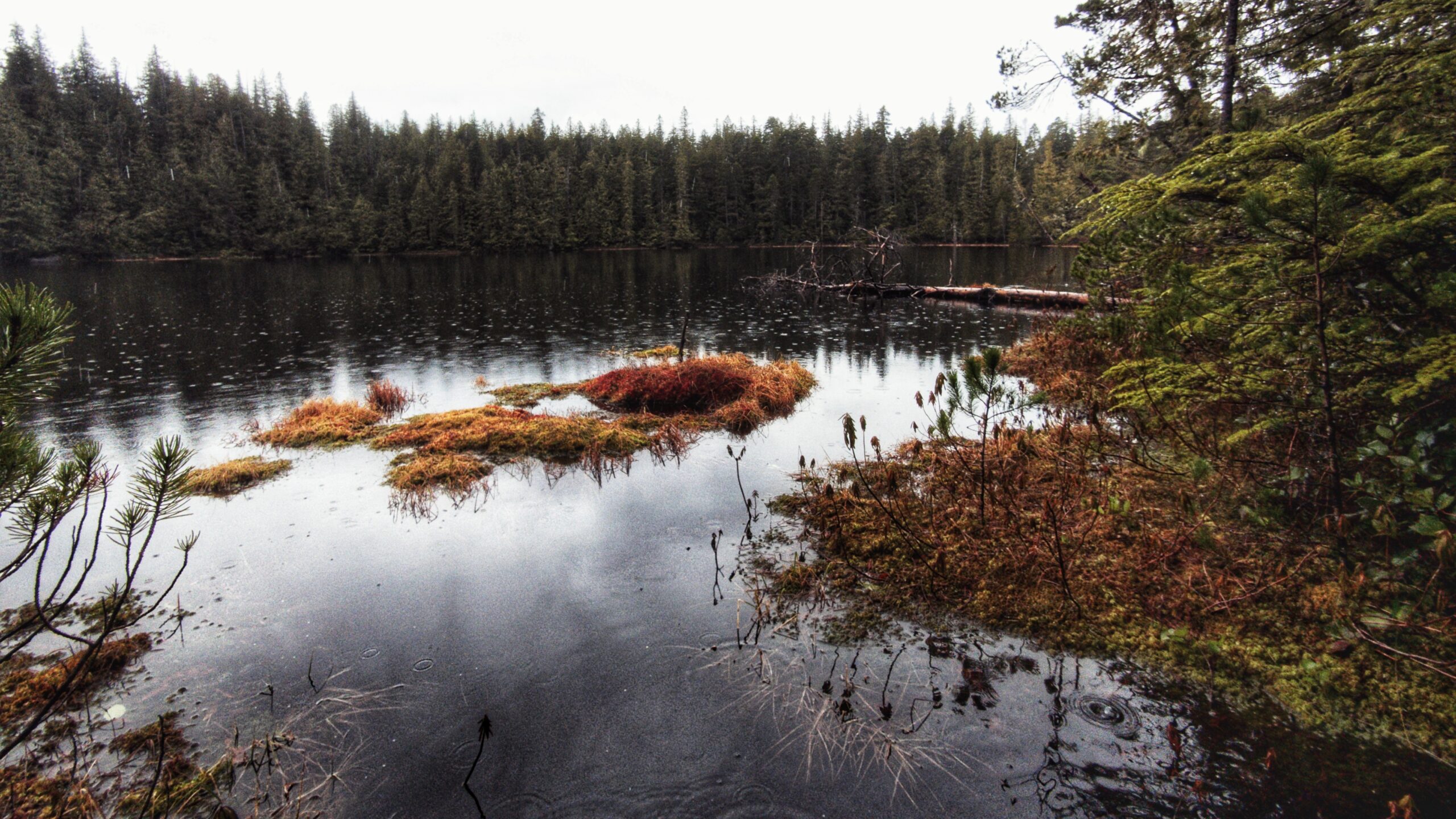
The Canoe Lake Trail, also lovingly called “Rat Lake,” is a rough route just outside the southern boundary of the Yaaguun Gandlaay Conservancy. The lake itself is small and characteristic of other bog lakes on Haida Gwaii; however, what makes this trail worth the trek and effort is what can be found around its general parameter: A number of blank/unfinished Haida canoes and culturally modified trees (CMTs).
Finding and observing these ancient Haida artifacts gives the small lake an almost ghostly feel as you come to the realization that these canoes remain unfinished because of the smallpox epidemic of the 1860s. In many respects, then, one could view the Canoe Lake Trail as a companion to other short hikes in the area; namely, the Haida Canoe Trail and Haida Canoe Trail#2.
LOCATING THE TRAILHEAD
Like a good number of trails on Haida Gwaii, the trailhead for Canoe Lake is unmarked and difficult to find. To reach it, follow these steps:
- Exit Port Clements by driving south along Bayview Drive, as if heading towards the Gold Spruce. Bayview Drive turns into the Port Main Forest Service Road.
- Drive past the Golden Spruce Trailhead for approximately 1.8 kilometers. You will see a split on the road to your LEFT. This is the East Yakoun Main Forest Service Road. Drive past it.
- After driving approximately 1 kilometer further, you will see another split on the road to your LEFT. This is the Yakoun Main FSR. Turn onto it.
- Drive along the Yakoun Main FSR for approximately 5 kilometers. The road is somewhat rough and narrow in sections, so drive with caution.
- At about the 5 kilometer mark, you will observe a not-too-obvious pullout to your RIGHT. The trailhead will not be obvious because it is hidden by alder trees. Welcome to the Canoe Lake Trailhead!
HIKING THE TRAIL
While the Canoe Lake Trail is relatively short (less than a kilometer), it is very rough and, at times, difficult to follow because there are no markers along the trail. If you have a trail app (we recommend BRMB), it might be wise to track your route so that you can follow it back to the trailhead upon your return.
Nevertheless, once you push your way through the alder trees, you will walk a narrow muddy path filled with roots, so one should step with caution. Once you clear this initial section, the trail opens up briefly.
About 10 minutes in, you’ll come across a rather miry area with some planks laid out across it. We strongly urge you to use these planks to cross this section of the trail. A single misstep could get you in serious trouble!
Once you cross the planks and hike another five minutes, you will observe what looks like a small cave. This is actually an underground creek and represents a unique feature of this trail! From here, the route starts to ascend and becomes challenging to follow. You will begin climbing a ridge. Beautiful old growth cedars can be observed along the way. As you climb, there is one area with a rope to assist you, but it is difficult to spot; in fact, when we hiked this route, we missed the rope completely and only noticed it as we began our descent!
As you reach the top of the ridge, the trail flattens out and becomes slightly more visible again. Almost immediately you will observe how and why this trail is significant for the Haida and, indeed, all of Haida Gwaii. Cultural artifacts abound: Unfinished canoes, CMTs (test holes and bark stripping) surround you.
Take your time and amble about this forest of ancient cedar and spruce. If you look closely, you might spy an old polka dot marker – a powerful symbol left by the Haida to signify and acknowledge the smallpox epidemic. In our view the small lake, at this point, is secondary but still worth a look.
DIFFICULTY: Moderate
TOTAL DISTANCE: 700 meters (one way)
TIME: 25 minutes (one way)
TYPE: Out-and-Back
ELEVATION GAIN: 60 metres
GPS COORDINATES TO TRAILHEAD: 53.581825, -132.16936


