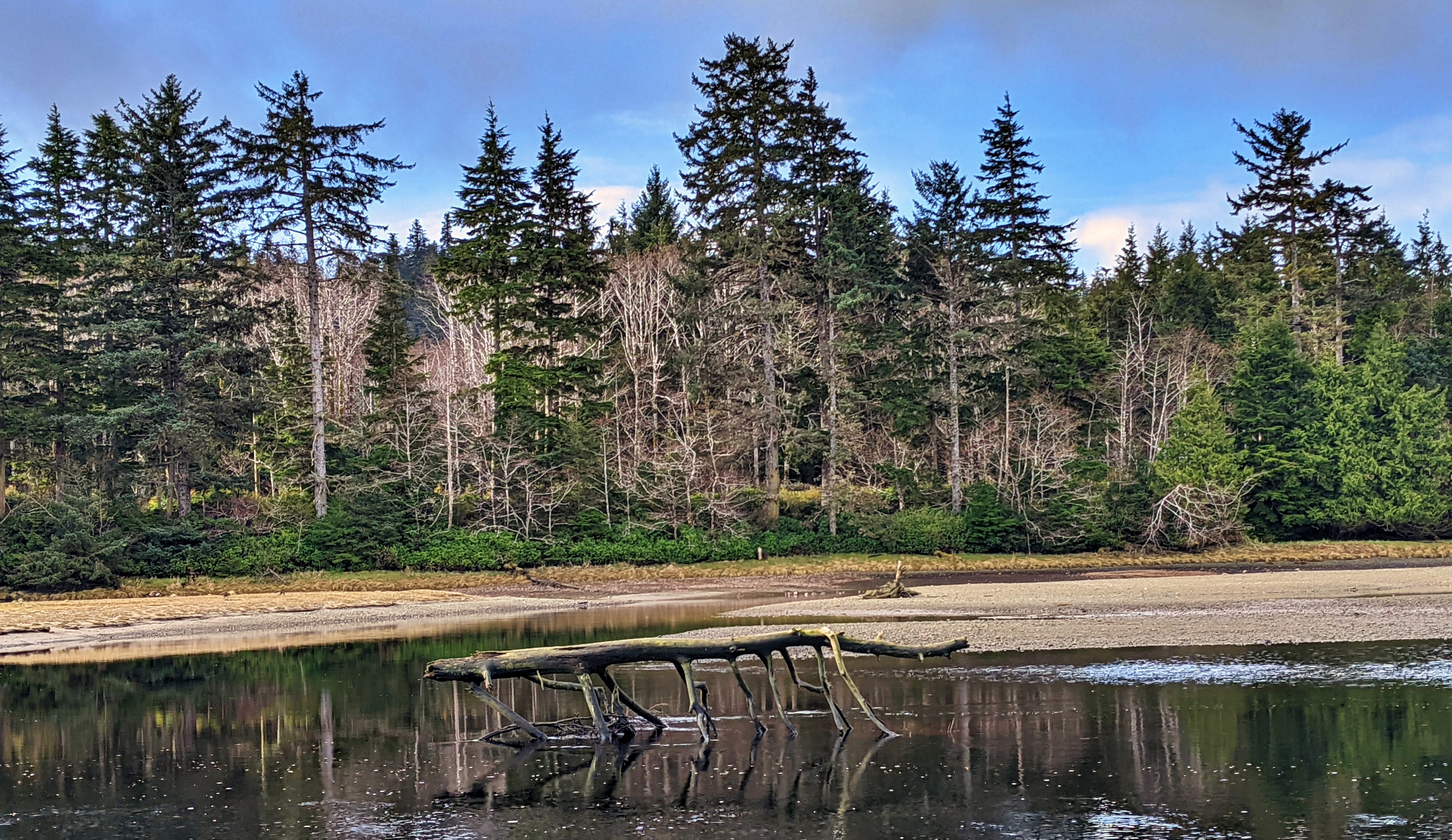
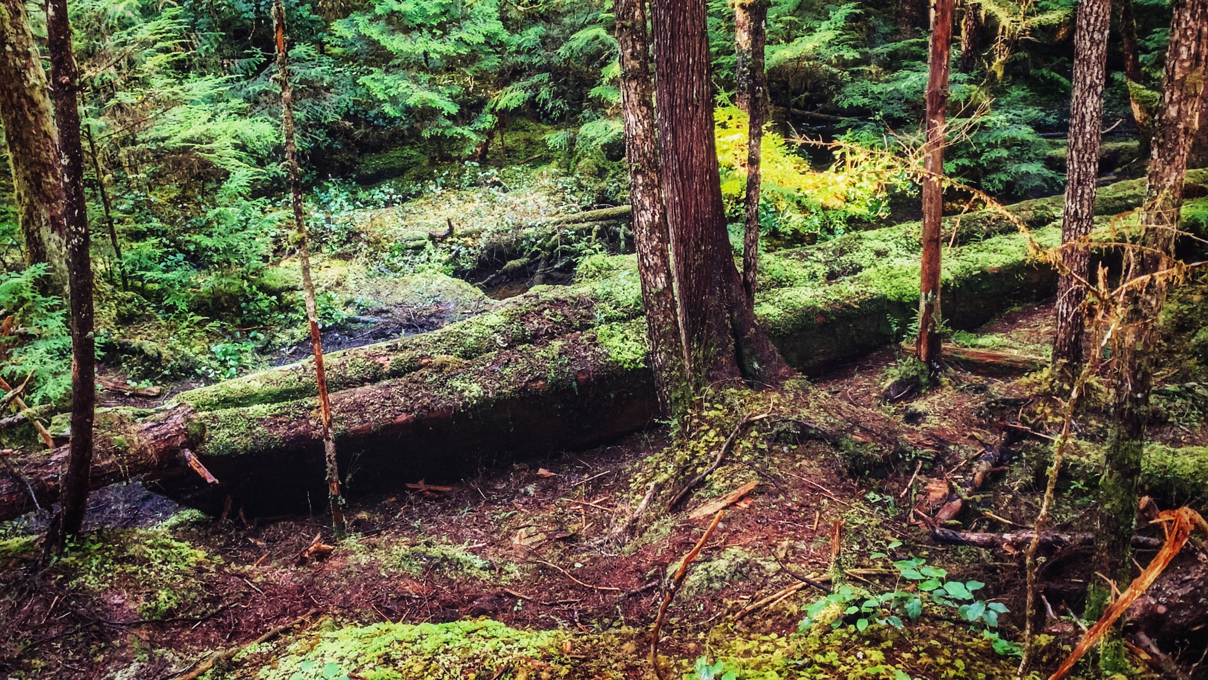
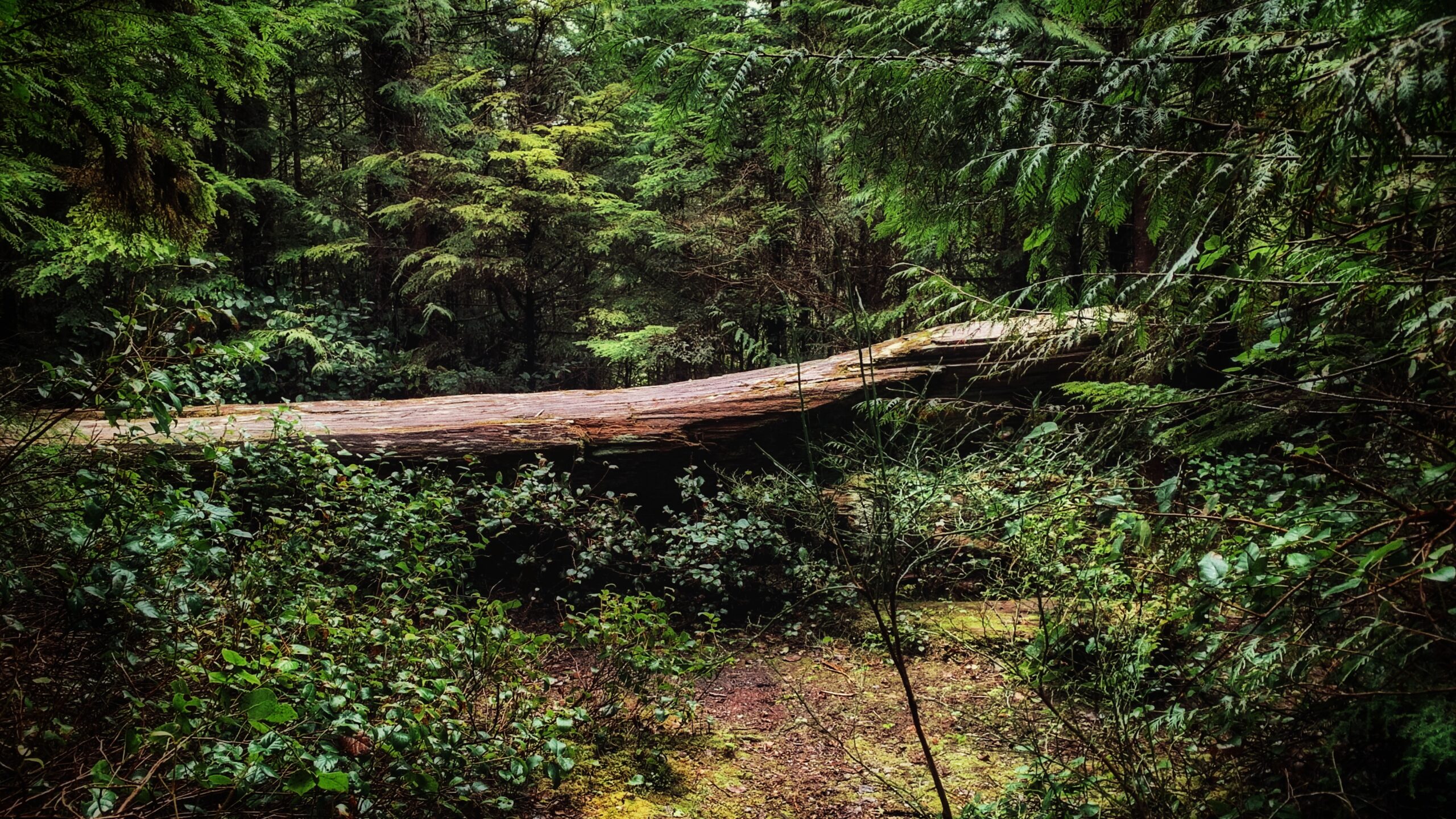
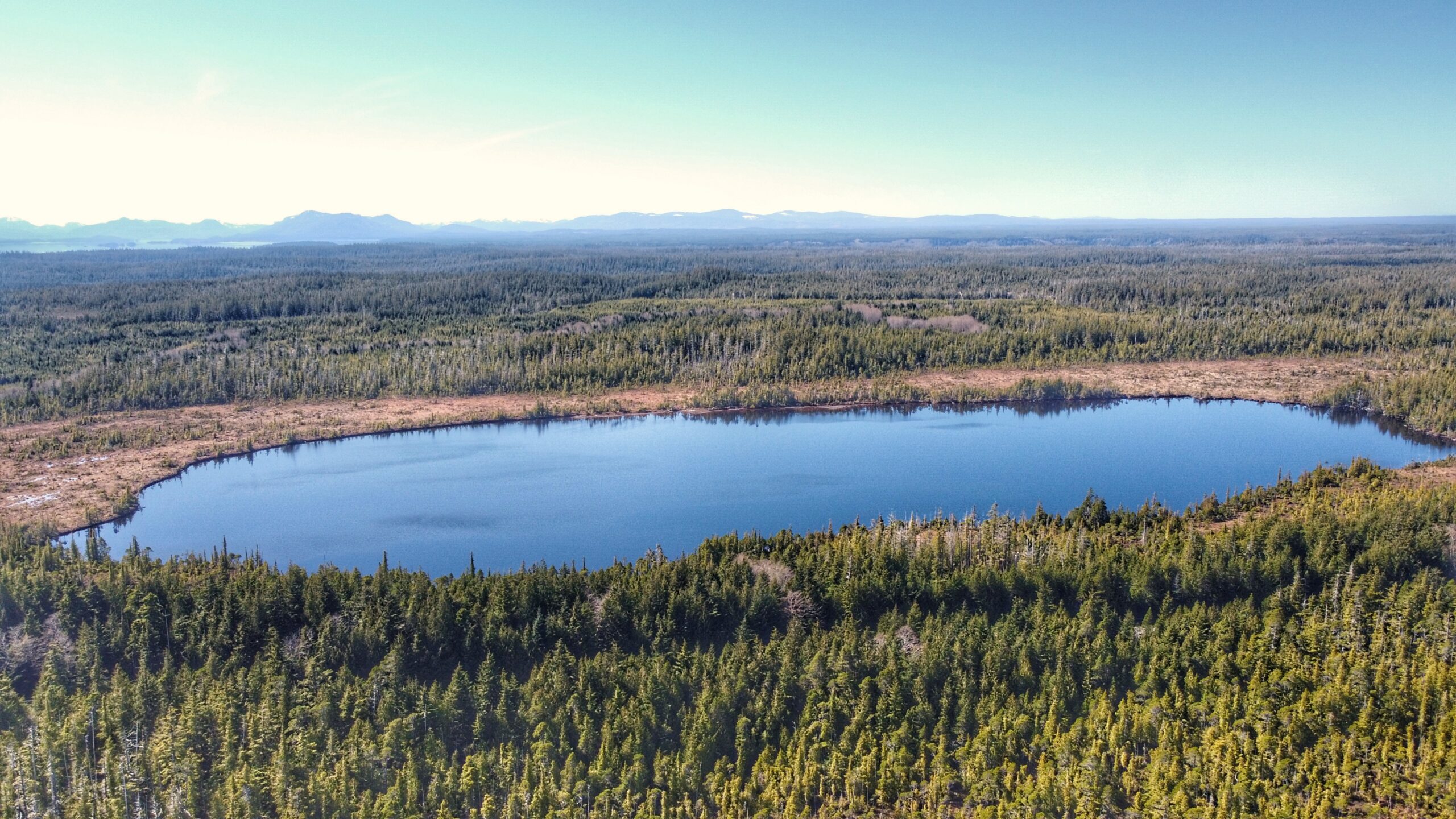
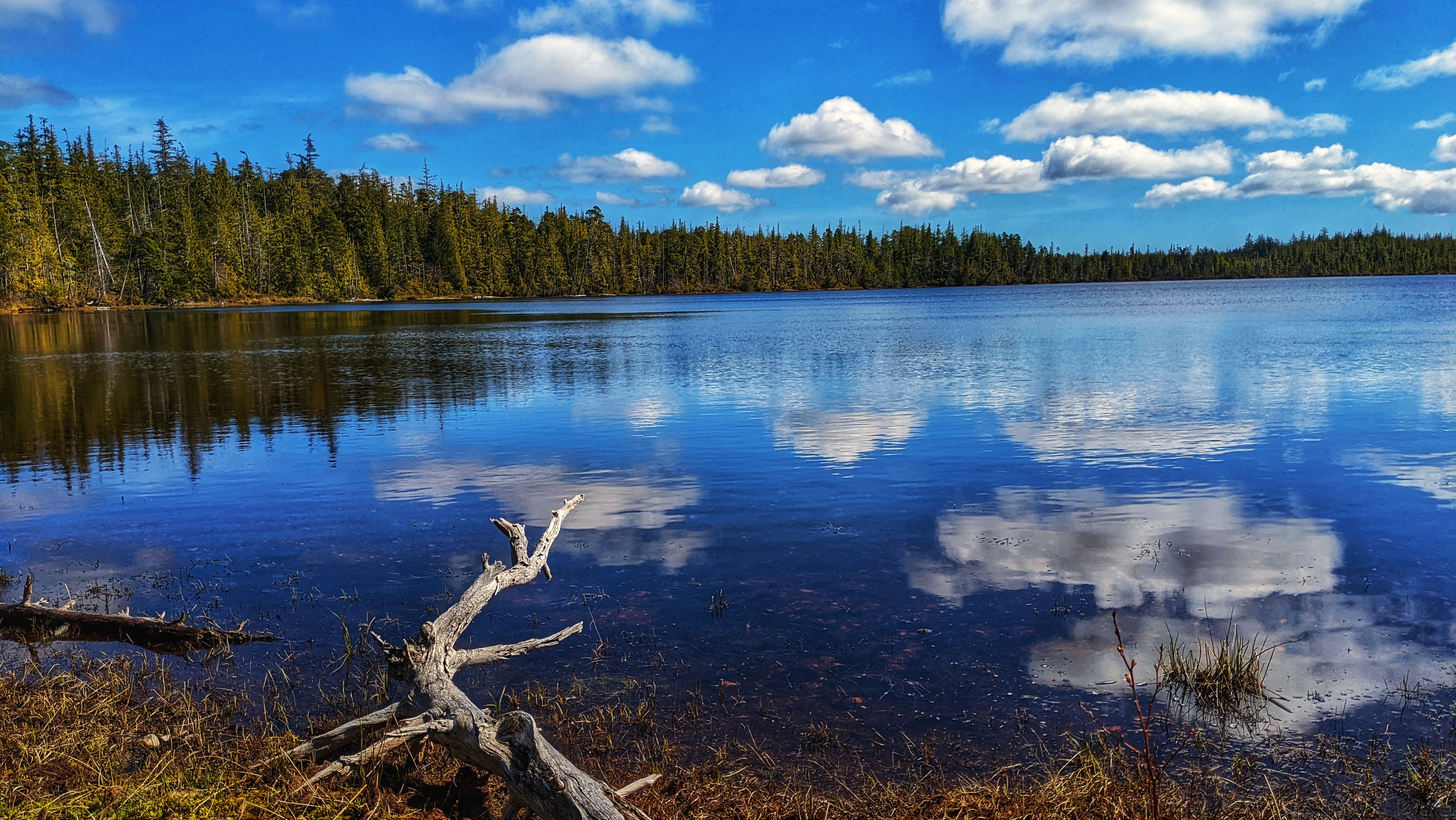
The Sangan River Trail is perhaps better described as a river walk than an actual trail. There is no formal trailhead, nor trail markers denoting the route; however, it is very easy to find and represents a peaceful walk – one that allows you to disconnect from the wired world and re-connect with nature and the elements. To access the Sangan River Trail, drive 10-minutes outside of Masset until you come upon the Sangan River Bridge
Author: Robert Williams
Located approximately 5 minutes north of Skidegate by car, you’ll find Chinukundl Creek, more popularly known as Miller Creek. Just up from the bridge, you’ll also spy Chinukundl Road. Turning up the road will take you into the informal community known as Miller Creek.
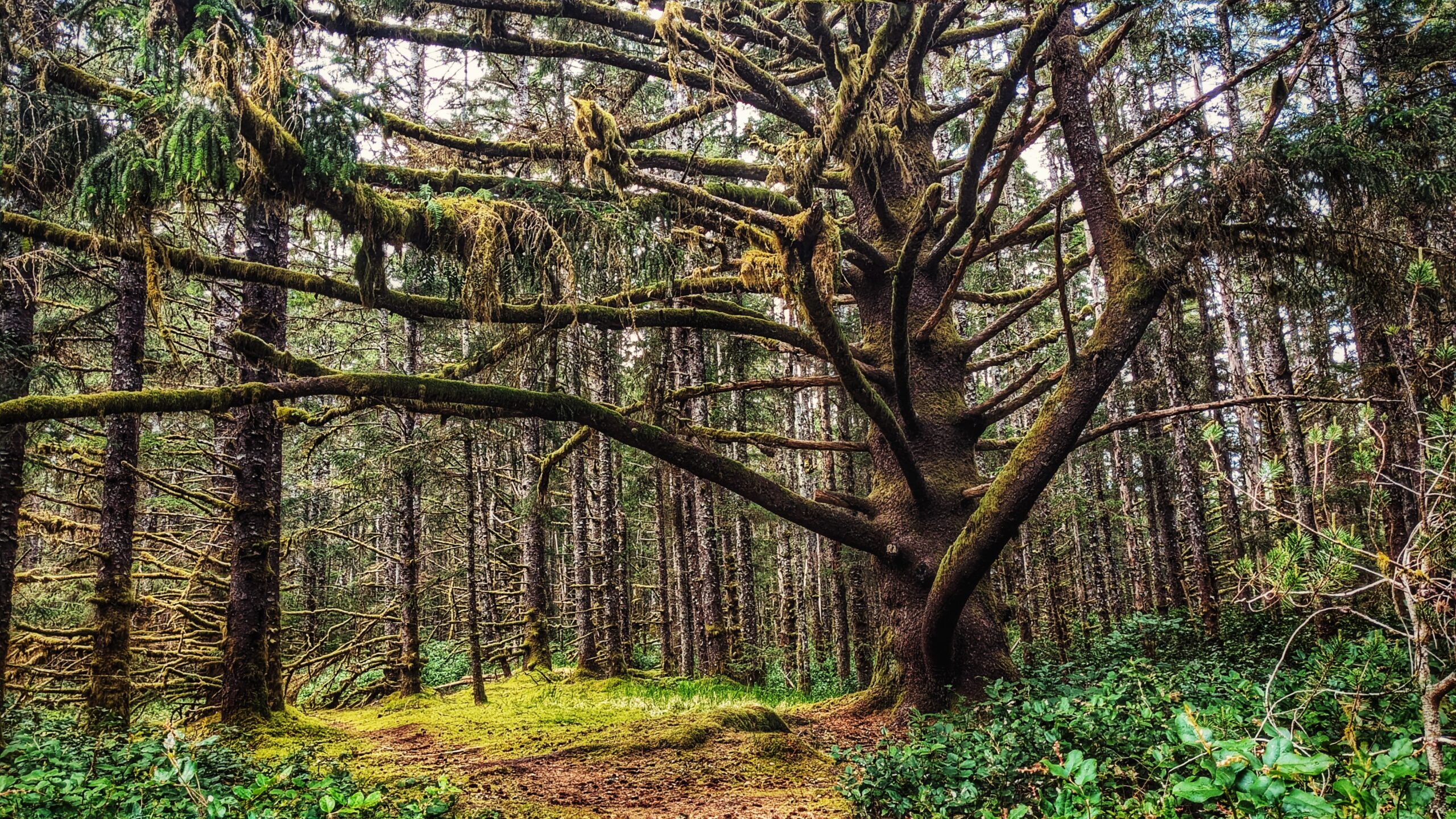
Susan’s Trail is unmarked, but its location is familiar: As you drive in towards the Misty Meadows campsite you will inevitably spy “the big tree” to your left. This marks the start, or trailhead, of Susan’s Trail. You can park your car on the side of the road or drive a couple of hundred meters forward to the campsite and park there before beginning your hike.
From a recreational perspective, Misty Meadows Beach Loop Trail serves as a nice introduction to the wonders of Naikoon Provincial Park. It offers beach access and some nice hiking.
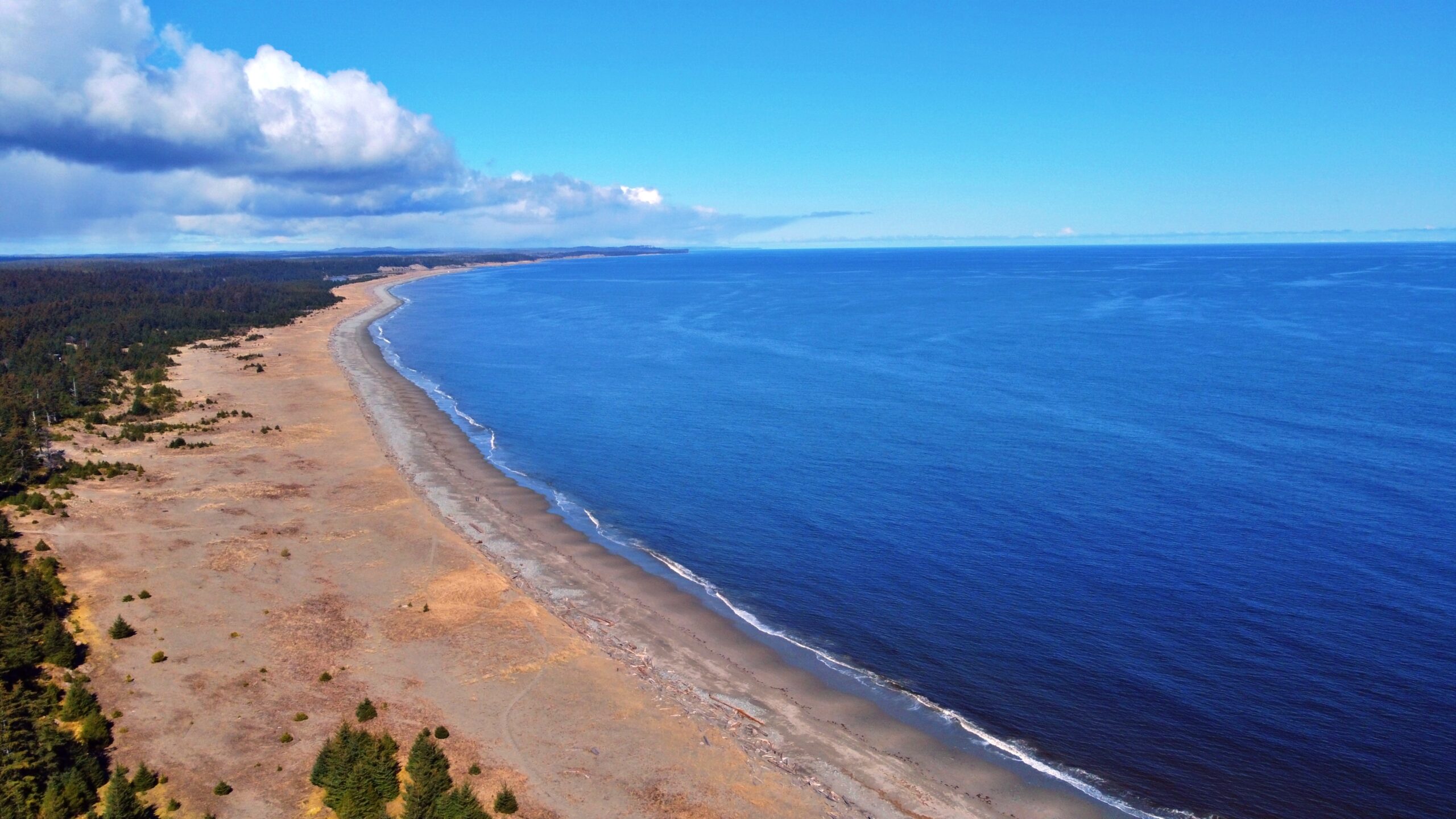
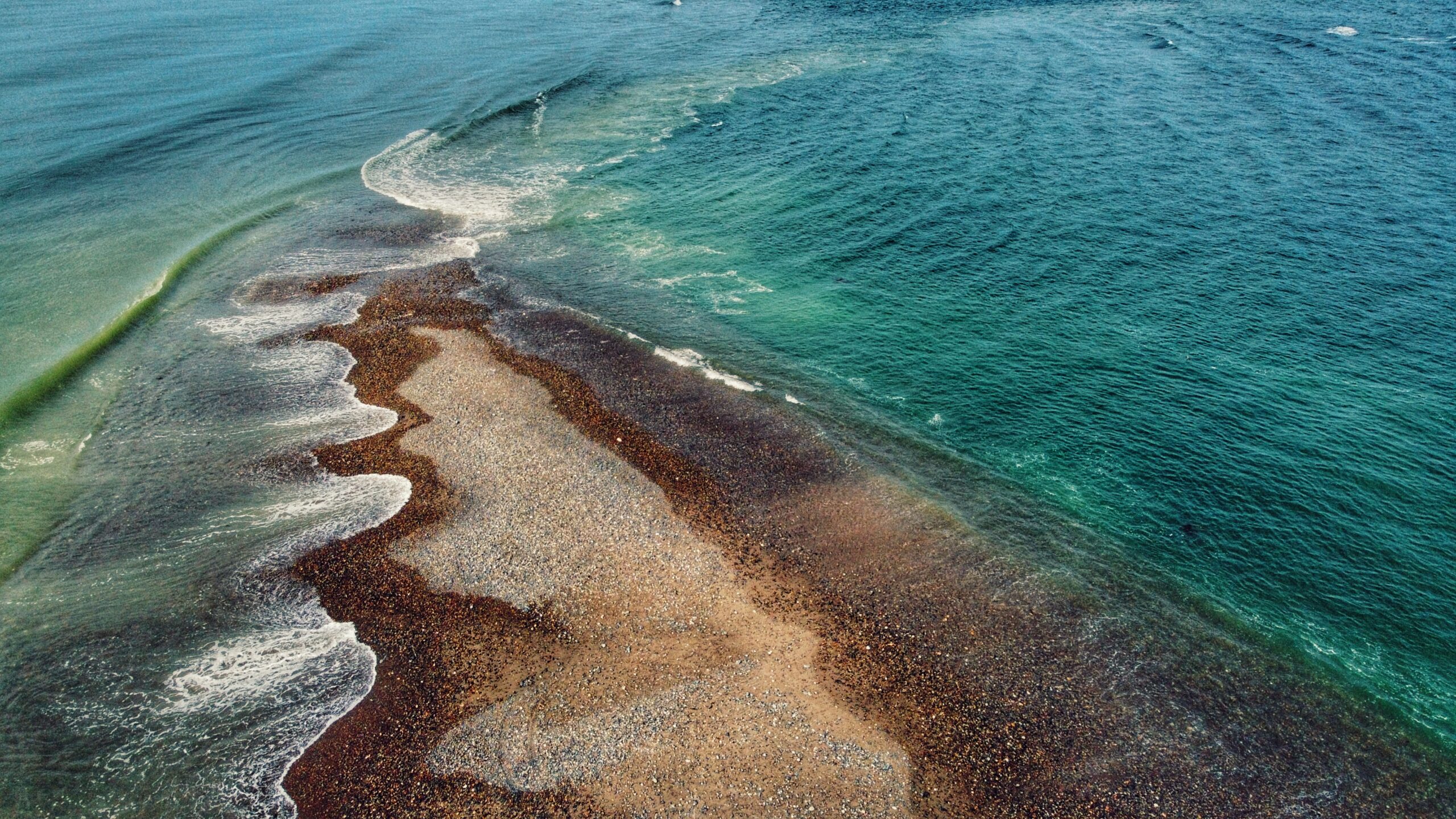
Located on the northeastern tip of Graham Island, and wholly within Naikoon Provincial Park, Rose Spit is perhaps best described as a long beach walk rather than a trail hike. To begin your North Beach trek towards “the Spit,” walk down the dirt road from the Hiellen Cabins and onto the beach: You are now at the trailhead/start of your epic walk to Rose Spit.
The Spit Walk can be accessed at two major points – along Tacan Road or Beach Road. If you want to do this hike, we’d recommend starting at Beach Road adjacent to Lon Sharp’s “Spirit of Sandspit” (giant salmon) sculpture because there’s parking available at the site of the former government wharf.
This trail technically doesn’t have a name but, because it leads to another ancient Haida Canoe, the tendency has just been to call it “Haida Canoe Trail #2” – an interesting name choice since you actually come upon its trailhead BEFORE the “Haida Canoe Trail” that most everyone visits.
The Haida Canoe Trail is roughly 8km past the Golden Spruce Trail, along the Port Man Forest Service Road. You will notice a large sign that says “HAIDA CANOE” on the left side of the road, at the “Y” before the Port Man turns into the QC Mainline. The sign is impossible to miss and it points you in the direction of the ancient Haida canoe.
Boulton Lake Trail is located approximately 28 kilometres south of Masset and 14.6 kilometres north of Port Clements, along Highway 16. The trailhead is unmarked but is signified by a small dirt pullout directly across from hydro pole 330. The pullout has enough room for two small vehicles.
To access Pure Lake Trail, you must hike a short trail of approximately 329 meters (one-way). It only takes about 3 minutes to reach the lake, but please note that sections of this trail can and do get quite muddy – especially after some rainfall. Once you reach the terminus point of the trail, you’ll come upon a small sandy beach and, of course, the lake. This is a popular day-use area for picnics and swimming.

