

Hatchery Loop Trail Features
Connects to numerous trails in area
Trailblazed by Remi Gauthier
Old logging road
ABOUT
The Hatchery Loop Trail is another route developed by local hero and trail-builder, Remi Gauthier. The trail takes hikers along the “high road,” an old deactivated logging road, and gives the adventure-minded many options for completing the route: You can treat it as a large loop and come back hugging the highway; or, you can use the Hatchery Trail as a “connector” and branch out to other routes, including the Sachs Creek Trail, Around the Pond and Onward Point, amongst others.
We initially came upon this trail by chance in the summer of 2022. En route to an enjoyable repast at Raincoast Breads, we spied a small white marker on the side of Alliford Bay Road denoting “Fish
Hatchery Trail.” We observed no safe place to park at the time given the marker was near a soft corner. It wasn’t until the end of 2023, while reading the newly updated Sandspit Community Society’s “Hikes and walks” page, that this trail starts near the Sandspit Salmon Enhancement Society’s hatchery building.
LOCATING THE TRAILHEAD
The trailhead marker for the Hatchery Loop Trail is fairly understated and is, therefore, somewhat easy to miss if you’re not already looking for it. First, park your vehicle at the hatchery building. As per the Sandspit Community Society, “1 or 2 vehicles can park max” and “Please leave the hatchery accessible to volunteers and helpers.” Once settled, walk back out onto the main highway and trek south (LEFT) for about 80 meters. At this point, you will see an old road to your left with a white rectangle marker on a nearby alder tree. Welcome to the start of the Hatchery Loop Trail!
HIKING THE TRAIL
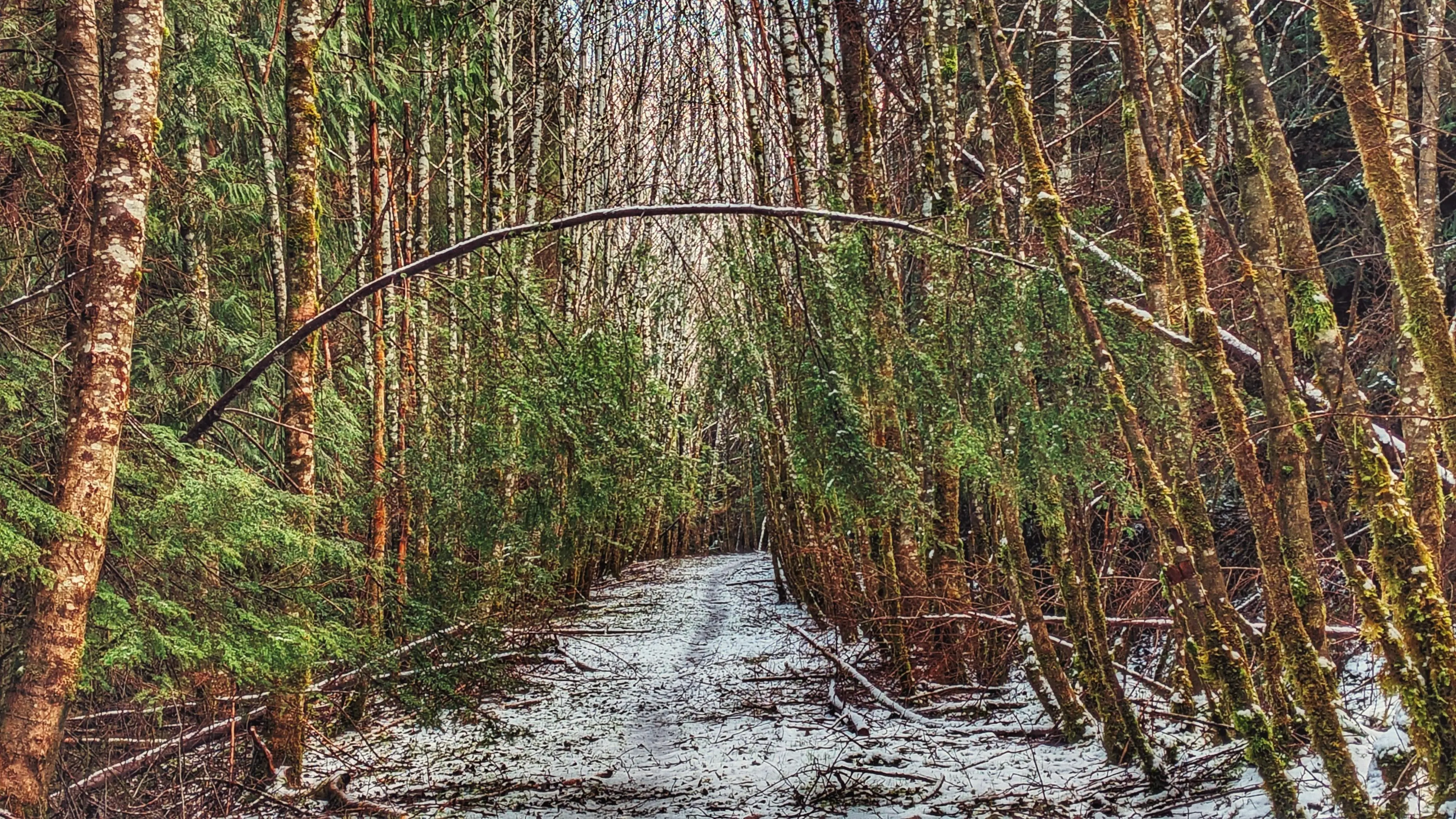
Most of the route follows a deactivated logging road; so, it’s fairly easygoing. It had snowed the night before our planned hike; as a result, much of the road was covered in a thin layer of snow and ice but this did not detract from the experience. Just a few feet in from the trailhead, you will note a series of
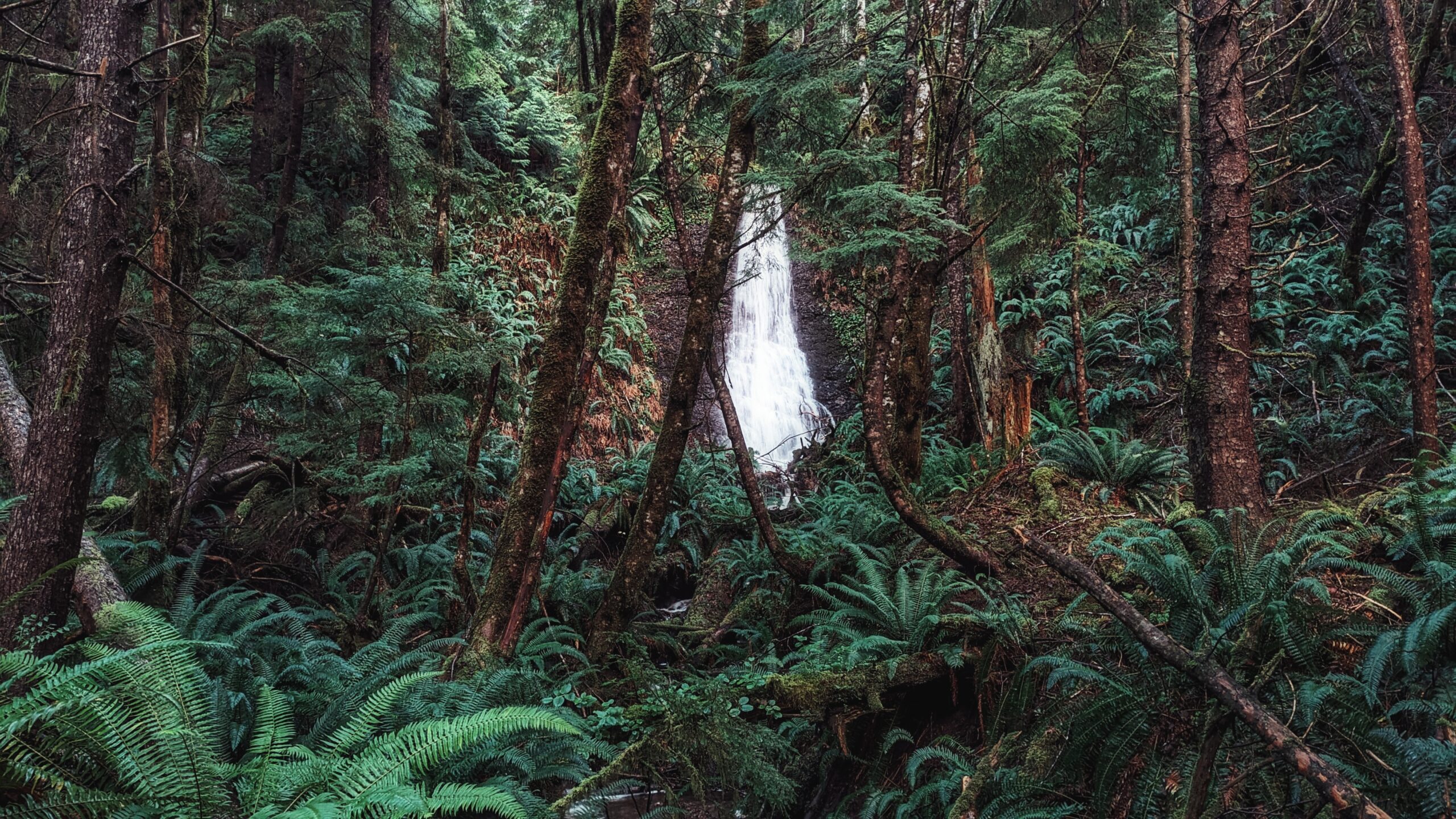
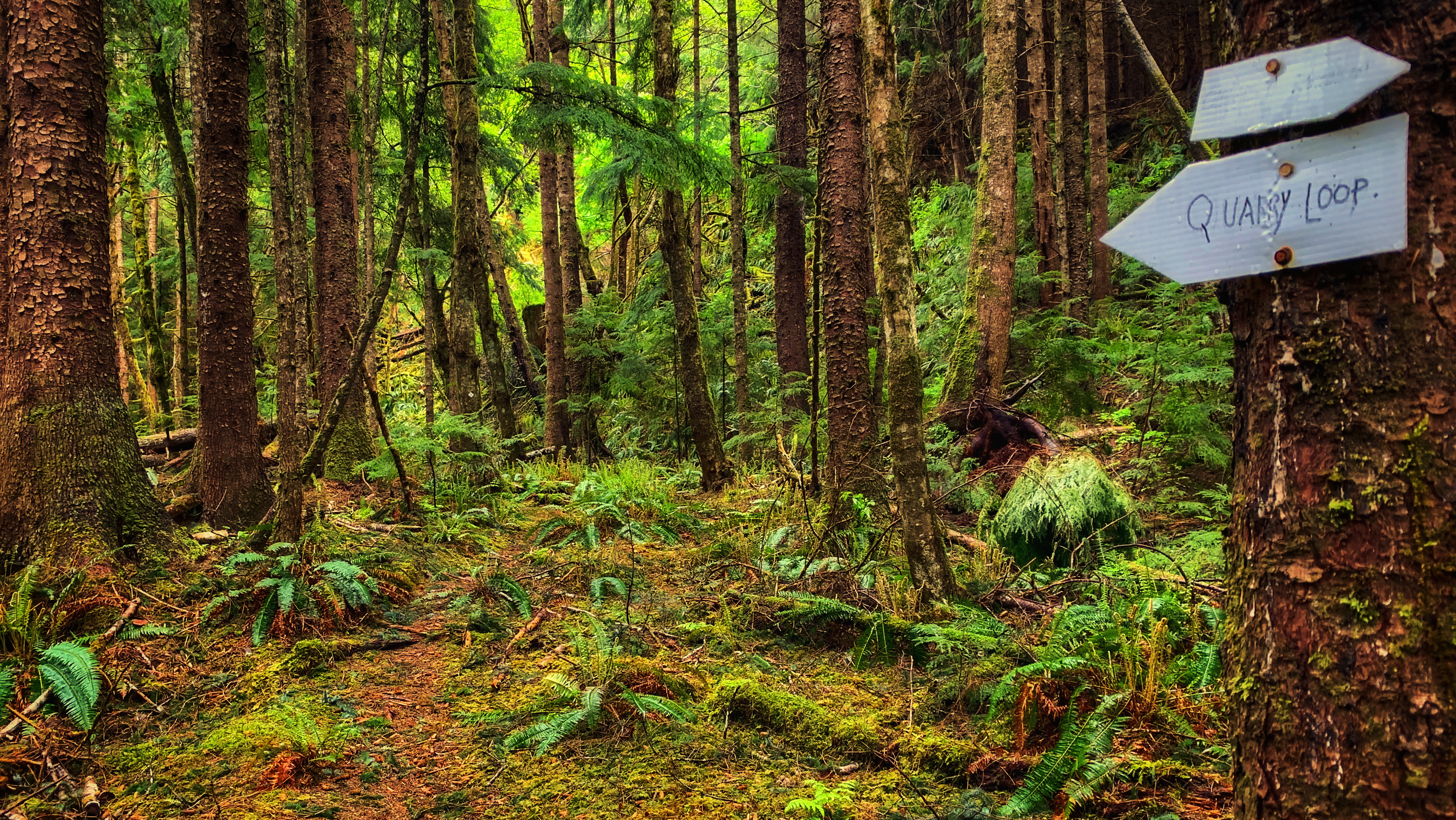
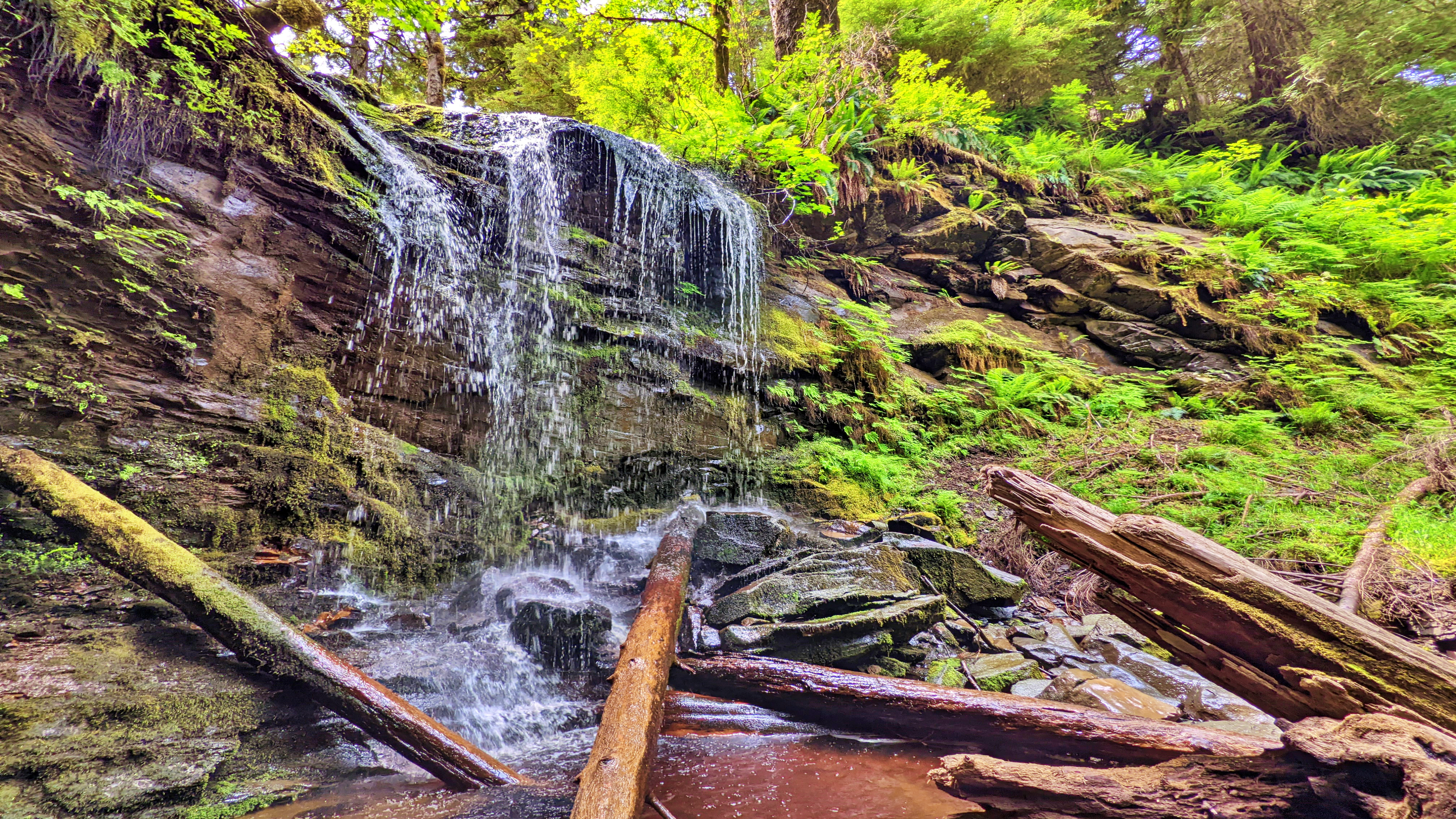
white markers: Some pointing east and others pointing south. Going south will take you along a rough, but short trail to what we’ve called the Sandspit Waterfall. Trekking east will continue taking you along the Fish Hatchery route.
At about the 200-meter mark, you will see another directional trail marker. It points north (or LEFT) to “Jason’s Mill Rd” and south (or RIGHT) to Sachs Creek. Walking south for about a kilometre will
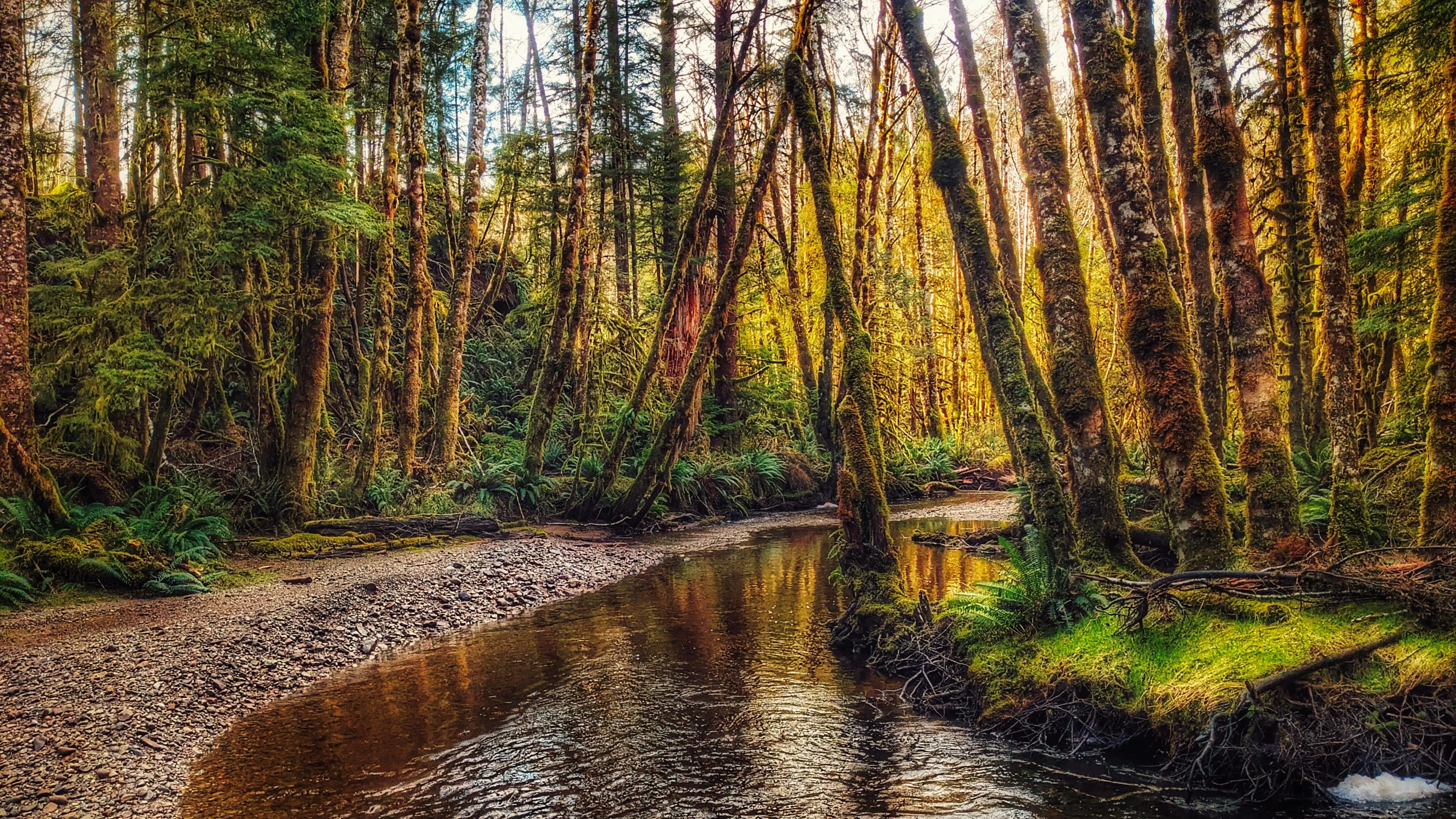
eventually connect you to the informal Sachs Creek Trail; however, if you wish to hike the Hatchery Trail, you must trek north along “Jason’s Mill Rd,” also known as the “high road.” From this point, you follow the old road north for just over 3.5 kilometres. The hike is easy – peaceful – and takes you through a variety of forests and trees, though the primary types observed include alder and spruce trees. The hike promised “some views of Skidegate Inlet through the trees,” but we did not observe this at any point because the trees along the road, and on the forest trail, were too dense.
While the hike is pretty straightforward, we do recommend hiking this route with an app like BRMB. Once you start trekking north from the “Jason’s Mill Rd” marker, there are no further trail markers along
the route until you’re about ready to re-emerge onto the highway and shoreline. The app will help you stay on the correct road – there are at least four “forks” along the trail that could potentially lead you astray (the last of these is another “connector” towards the Around the Pond/Onward Point network of
trails).
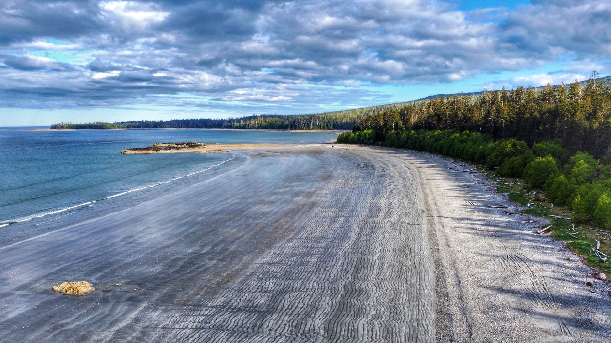
According to the map available on the Sandspit Community Society webpage, there are two options for completing the loop trail: A forest hike that hugs the highway or a much easier trek along the shoreline.
We chose the latter as we were unable to locate any trail markers for the forest route. In any event, as you complete the loop along the shoreline, you will spy at least two “Fish Hatchery” trail signs along the Highway – these take you through the forest, re-connecting to the old road. Regardless of which route you take, you will end up back at the fish hatchery!
Note: The Hatchery Loop Trail route is outlined on Gaia GPS. You can view the route online by activating “public trails” on the Gaia GPS website. Unfortunately, as of 2024, the “Overlays” function does not appear to include “public trails” in the app version of Gaia GPS anymore.
DIFFICULTY: Moderate
TOTAL DISTANCE: 7km
TIME: 2 hours
TYPE: Loop
ELEVATION GAIN: 73 meters